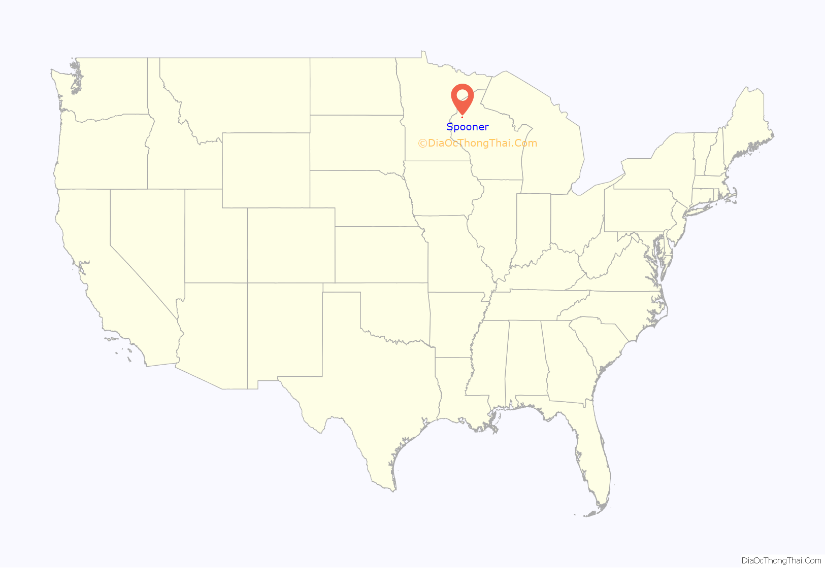
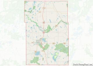
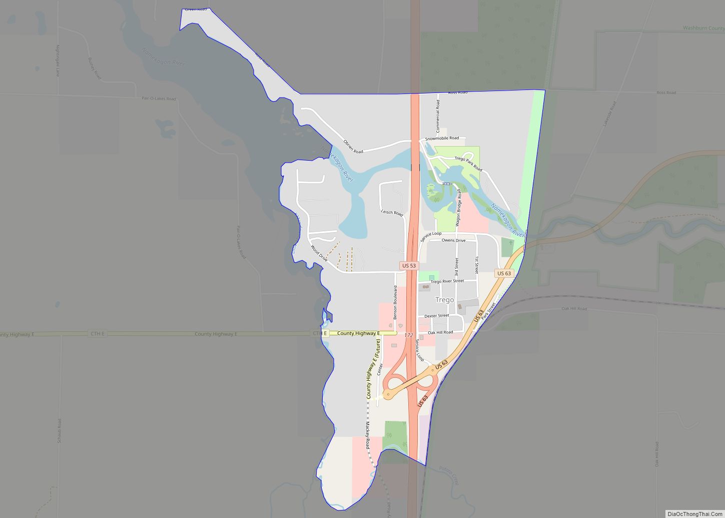
Spooner is a city in Washburn County, Wisconsin, United States. The population was 2,573 at the 2020 census. The city is located mostly within the southwest corner of the Town of Spooner, with a small portion extending into the Town of Beaver Brook on the south, the Town of Bashaw on the southwest, and the Town of Evergreen on the west. The city’s nickname, Crossroads of the North, is a reference to the city’s location at the junction of two U.S. highways, 53 and 63, and State Highways 70 and 253.
| Name: | Spooner city |
|---|---|
| LSAD Code: | 25 |
| LSAD Description: | city (suffix) |
| State: | Wisconsin |
| County: | Washburn County |
| Total Area: | 4.27 sq mi (11.06 km²) |
| Land Area: | 4.03 sq mi (10.45 km²) |
| Water Area: | 0.24 sq mi (0.61 km²) |
| Total Population: | 2,573 |
| Population Density: | 637.8/sq mi (246.26/km²) |
| Area code: | 715 & 534 |
| FIPS code: | 5575625 |
Online Interactive Map
Click on ![]() to view map in "full screen" mode.
to view map in "full screen" mode.
Spooner location map. Where is Spooner city?
History
Originally a town in the year 1889, and thereafter officially incorporated a city in the year 1909, Spooner’s history is closely interlaced with that of railroad history. In the year 1879, the North Wisconsin Railway was constructed due north of the present-day city of Spooner. Following that, the operations of that railroad were moved south where it then joined the Chicago and Northwestern at what was then coined as Chicago Junction.
The community, then initially only a station, was named by the general superintendent for the Chicago and Northwestern, Edwin W. Winter, for John Coit Spooner (1843 – 1919), who at the time was a distinguished railroad attorney from what is now the city of Hudson in St. Croix County, northwestern Wisconsin. Spooner would later serve in the Wisconsin State Assembly and represent Wisconsin in the United States Senate (1885-1891, 1897-1907). He was a well favoured politician of his time and even served as advisors to U.S. Presidents Benjamin Harrison, William McKinley, and Theodore Roosevelt.
Eventually, the lines were absorbed by the Chicago & North Western Railroad. Passenger service ended in the early 1960s under the CNW ownership. In 1992, the Wisconsin Great Northern Railroad was incorporated, to serve as a freight hauler from Spooner to Trego, a nearby town, with a connection to the CNW. Although the freight idea didn’t work out, they began operating successful passenger excursion trains in 1997 (following the example of the nearby Duluth & Northern Minnesota Railroad which began passenger excursions in Duluth only a few years before), and were an instant success. The passenger trains were very successful, and after the 1995 takeover of the CNW by the Union Pacific, UP in 1998 announced intentions to abandon the line from Hayward Junction where it connected to the Wisconsin Central 13 miles (21 km) to the north through Spooner all of the way down to Chippewa Falls. The company bought the portion of the line between Spooner and Hayward Jct in 1999, which greatly expanded passenger operations. To this day they run very popular robbery, western style, cowboy, and buffet style as well as more formal dinner trains. More recently, the Great Pumpkin train nearly sold out and now runs annually around the time of Halloween. The old CNW Spooner Railroad Depot now serves as the town’s Railroad Memories Museum.
The city was also once the hub of the Omaha Railroad Line. Its economy was once centered on the railroad and the two main lines that joined there.
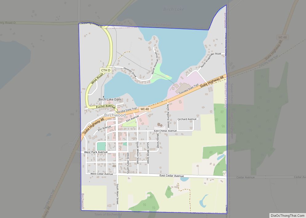
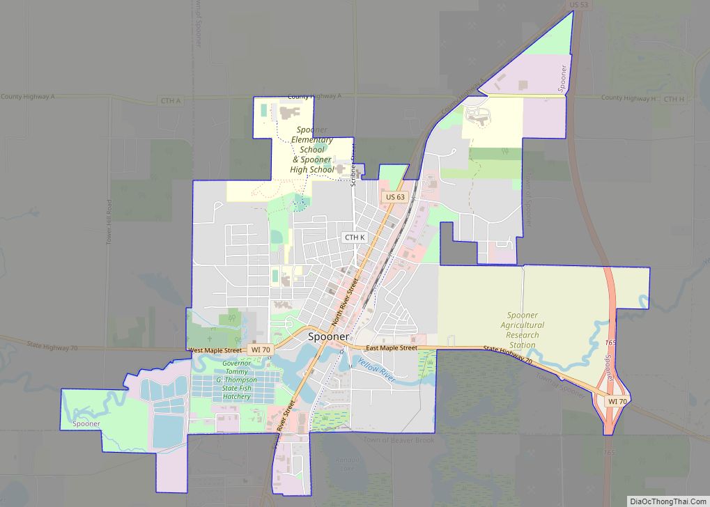
Spooner Road Map
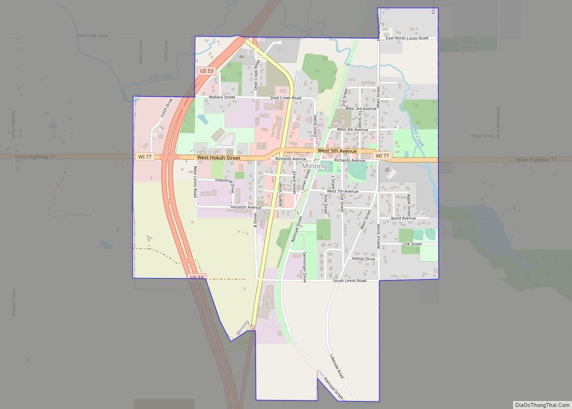
Spooner city Satellite Map
Geography
Spooner is located at 45°49′33″N 91°53′28″W / 45.82583°N 91.89111°W / 45.82583; -91.89111 (45.825941, −91.891116).
According to the United States Census Bureau, the city has a total area of 3.52 square miles (9.12 km), of which, 3.29 square miles (8.52 km) is land and 0.23 square miles (0.60 km) is water.
Climate
Spooner has a Humid continental climate (Köppen climate classification Dfb), typical of northern Wisconsin with warm, humid summers and relatively long, cold winters.
See also
Map of Wisconsin State and its subdivision:- Adams
- Ashland
- Barron
- Bayfield
- Brown
- Buffalo
- Burnett
- Calumet
- Chippewa
- Clark
- Columbia
- Crawford
- Dane
- Dodge
- Door
- Douglas
- Dunn
- Eau Claire
- Florence
- Fond du Lac
- Forest
- Grant
- Green
- Green Lake
- Iowa
- Iron
- Jackson
- Jefferson
- Juneau
- Kenosha
- Kewaunee
- La Crosse
- Lafayette
- Lake Michigan
- Lake Superior
- Langlade
- Lincoln
- Manitowoc
- Marathon
- Marinette
- Marquette
- Menominee
- Milwaukee
- Monroe
- Oconto
- Oneida
- Outagamie
- Ozaukee
- Pepin
- Pierce
- Polk
- Portage
- Price
- Racine
- Richland
- Rock
- Rusk
- Saint Croix
- Sauk
- Sawyer
- Shawano
- Sheboygan
- Taylor
- Trempealeau
- Vernon
- Vilas
- Walworth
- Washburn
- Washington
- Waukesha
- Waupaca
- Waushara
- Winnebago
- Wood
- Alabama
- Alaska
- Arizona
- Arkansas
- California
- Colorado
- Connecticut
- Delaware
- District of Columbia
- Florida
- Georgia
- Hawaii
- Idaho
- Illinois
- Indiana
- Iowa
- Kansas
- Kentucky
- Louisiana
- Maine
- Maryland
- Massachusetts
- Michigan
- Minnesota
- Mississippi
- Missouri
- Montana
- Nebraska
- Nevada
- New Hampshire
- New Jersey
- New Mexico
- New York
- North Carolina
- North Dakota
- Ohio
- Oklahoma
- Oregon
- Pennsylvania
- Rhode Island
- South Carolina
- South Dakota
- Tennessee
- Texas
- Utah
- Vermont
- Virginia
- Washington
- West Virginia
- Wisconsin
- Wyoming
