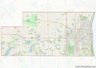
Twin Lakes is a village in Kenosha County, Wisconsin, United States, along the Illinois–Wisconsin border east of U.S. Highway 12, incorporated in 1937. With nearly 1000 acres of surface water, the twin lakes of Mary and Elizabeth have drawn vacationers to numerous resorts as well as ice harvesters in the days of icebox refrigeration. Today, many houses there are used for recreation, and the lakes remain a popular destination. Twin Lakes is home to about 6,041 permanent residents and a third more occasional ones.
| Name: | Twin Lakes village |
|---|---|
| LSAD Code: | 47 |
| LSAD Description: | village (suffix) |
| State: | Wisconsin |
| County: | Kenosha County |
| Elevation: | 801 ft (244 m) |
| Total Area: | 10.10 sq mi (26.16 km²) |
| Land Area: | 8.53 sq mi (22.10 km²) |
| Water Area: | 1.57 sq mi (4.06 km²) |
| Total Population: | 6,309 |
| Population Density: | 727.06/sq mi (280.72/km²) |
| ZIP code: | 53181 |
| Area code: | 262 |
| FIPS code: | 5581250 |
| GNISfeature ID: | 1575813 |
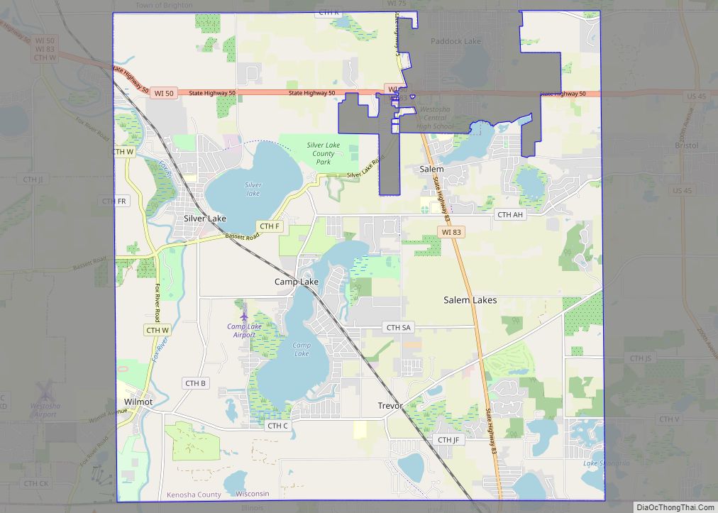
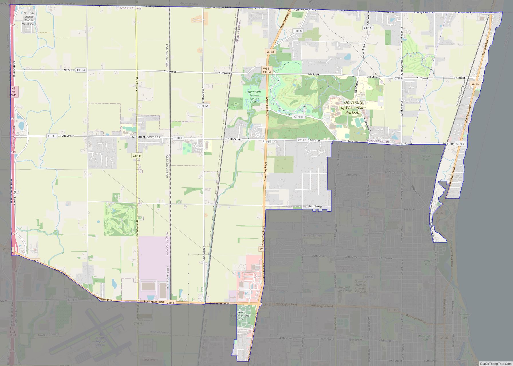
Online Interactive Map
Click on ![]() to view map in "full screen" mode.
to view map in "full screen" mode.
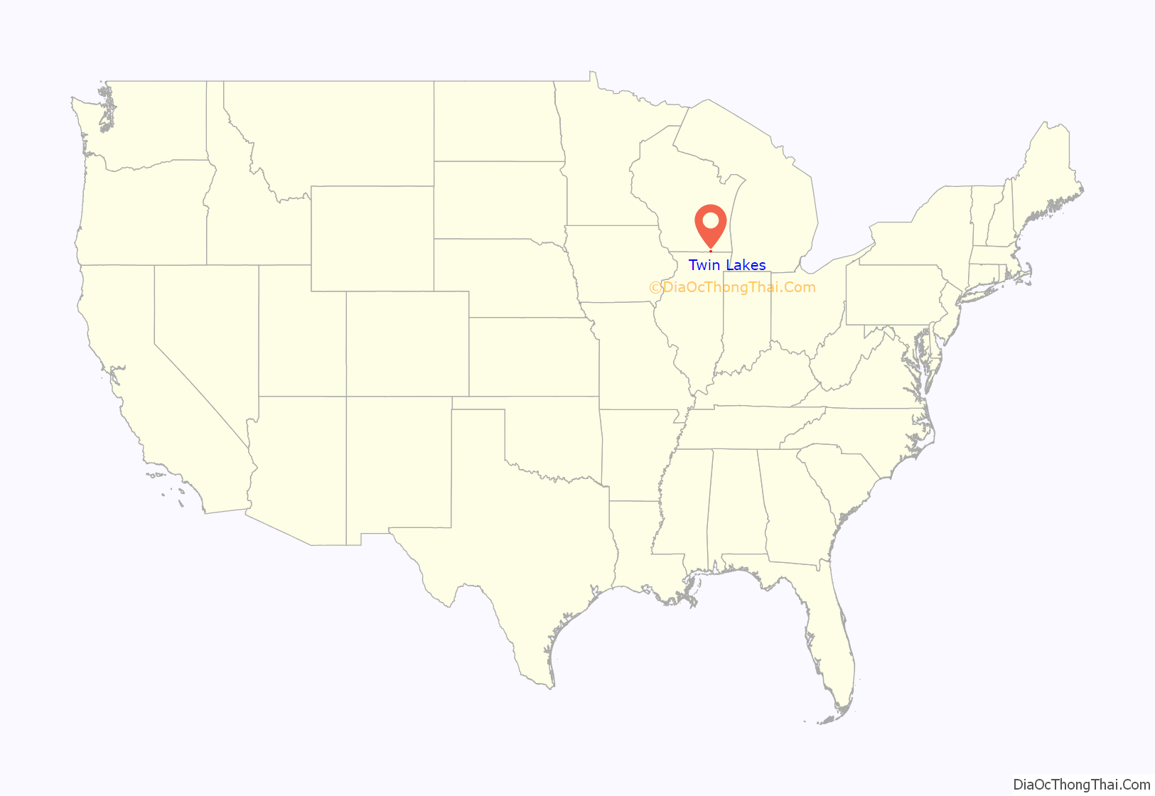
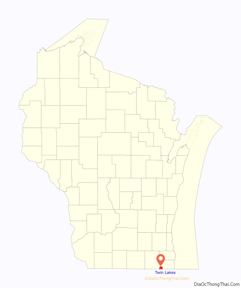
Twin Lakes location map. Where is Twin Lakes village?
History
Mary Rae, a native of England was born June 15, 1816. She came to America in 1833 and resided in what was to become known as “English Prairie”. In 1837 she was married to Jonathan Imeson, also an early settler on the prairie. Their son Robert was the first born son of European descent in the county. There were eight children in all, including the first set of twins born on the prairie. The girls were baptized Mary and Elizabeth. Both lakes were named after these girls, Lake Mary & Lake Elizabeth, which extended into Illinois, and almost to the English Prairie.
A post office called Twin Lakes has been in operation since 1891.
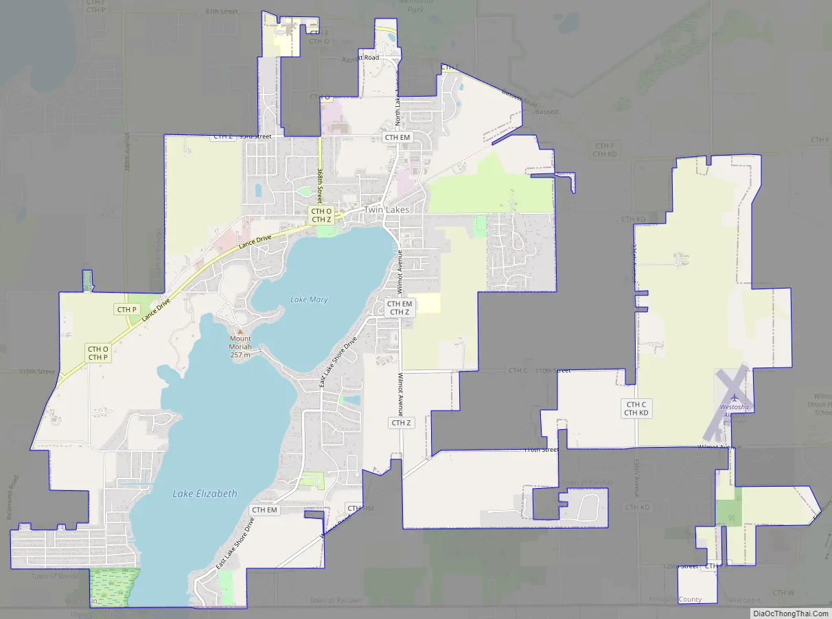
Twin Lakes Road Map
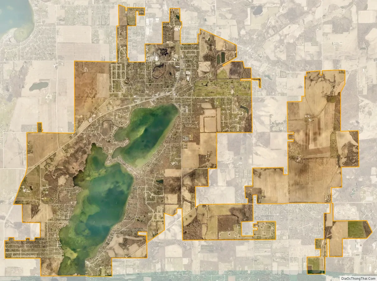
Twin Lakes city Satellite Map
Geography
Twin Lakes is located at 42°31′18″N 88°15′46″W / 42.52167°N 88.26278°W / 42.52167; -88.26278 (42.521554, −88.262885).
According to the United States Census Bureau, the village has a total area of 9.75 square miles (25.25 km), of which, 8.18 square miles (21.19 km) of it is land and 1.57 square miles (4.07 km) is water.
See also
Map of Wisconsin State and its subdivision:- Adams
- Ashland
- Barron
- Bayfield
- Brown
- Buffalo
- Burnett
- Calumet
- Chippewa
- Clark
- Columbia
- Crawford
- Dane
- Dodge
- Door
- Douglas
- Dunn
- Eau Claire
- Florence
- Fond du Lac
- Forest
- Grant
- Green
- Green Lake
- Iowa
- Iron
- Jackson
- Jefferson
- Juneau
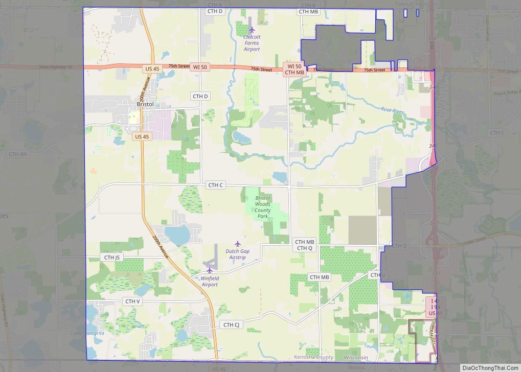
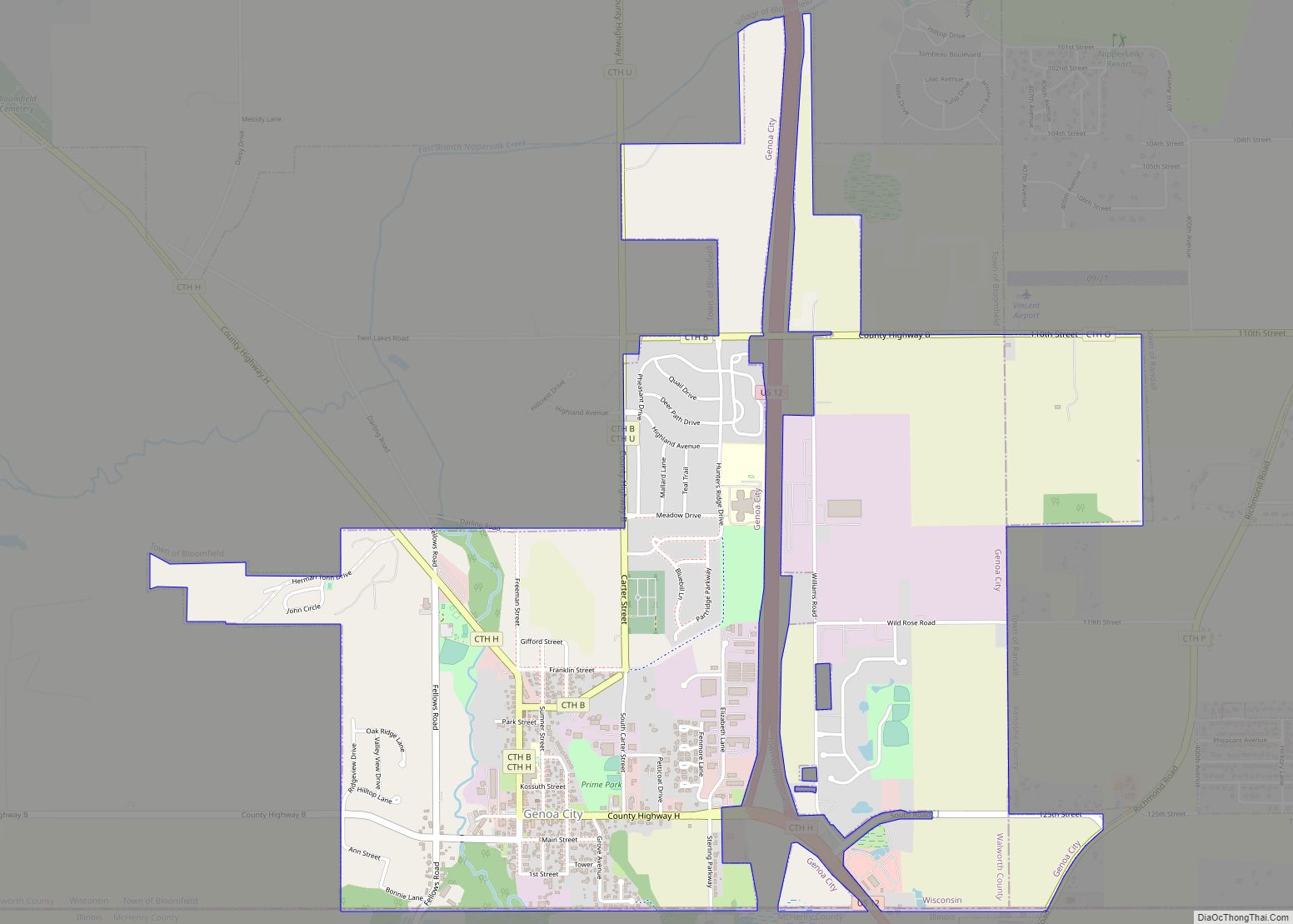
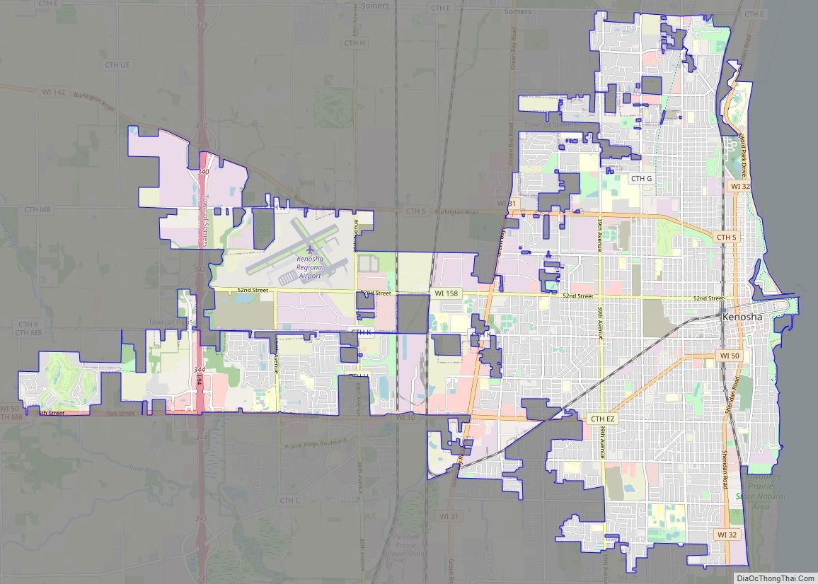
- Kenosha
- Kewaunee
- La Crosse
- Lafayette
- Lake Michigan
- Lake Superior
- Langlade
- Lincoln
- Manitowoc
- Marathon
- Marinette
- Marquette
- Menominee
- Milwaukee
- Monroe
- Oconto
- Oneida
- Outagamie
- Ozaukee
- Pepin
- Pierce
- Polk
- Portage
- Price
- Racine
- Richland
- Rock
- Rusk
- Saint Croix
- Sauk
- Sawyer
- Shawano
- Sheboygan
- Taylor
- Trempealeau
- Vernon
- Vilas
- Walworth
- Washburn
- Washington
- Waukesha
- Waupaca
- Waushara
- Winnebago
- Wood
- Alabama
- Alaska
- Arizona
- Arkansas
- California
- Colorado
- Connecticut
- Delaware
- District of Columbia
- Florida
- Georgia
- Hawaii
- Idaho
- Illinois
- Indiana
- Iowa
- Kansas
- Kentucky
- Louisiana
- Maine
- Maryland
- Massachusetts
- Michigan
- Minnesota
- Mississippi
- Missouri
- Montana
- Nebraska
- Nevada
- New Hampshire
- New Jersey
- New Mexico
- New York
- North Carolina
- North Dakota
- Ohio
- Oklahoma
- Oregon
- Pennsylvania
- Rhode Island
- South Carolina
- South Dakota
- Tennessee
- Texas
- Utah
- Vermont
- Virginia
- Washington
- West Virginia
- Wisconsin
- Wyoming