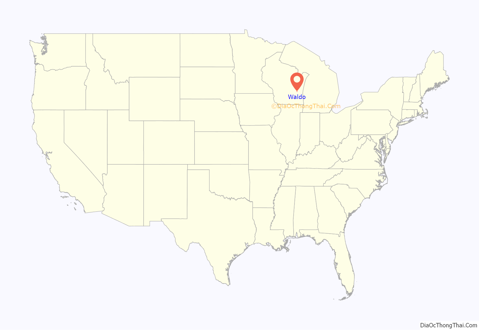
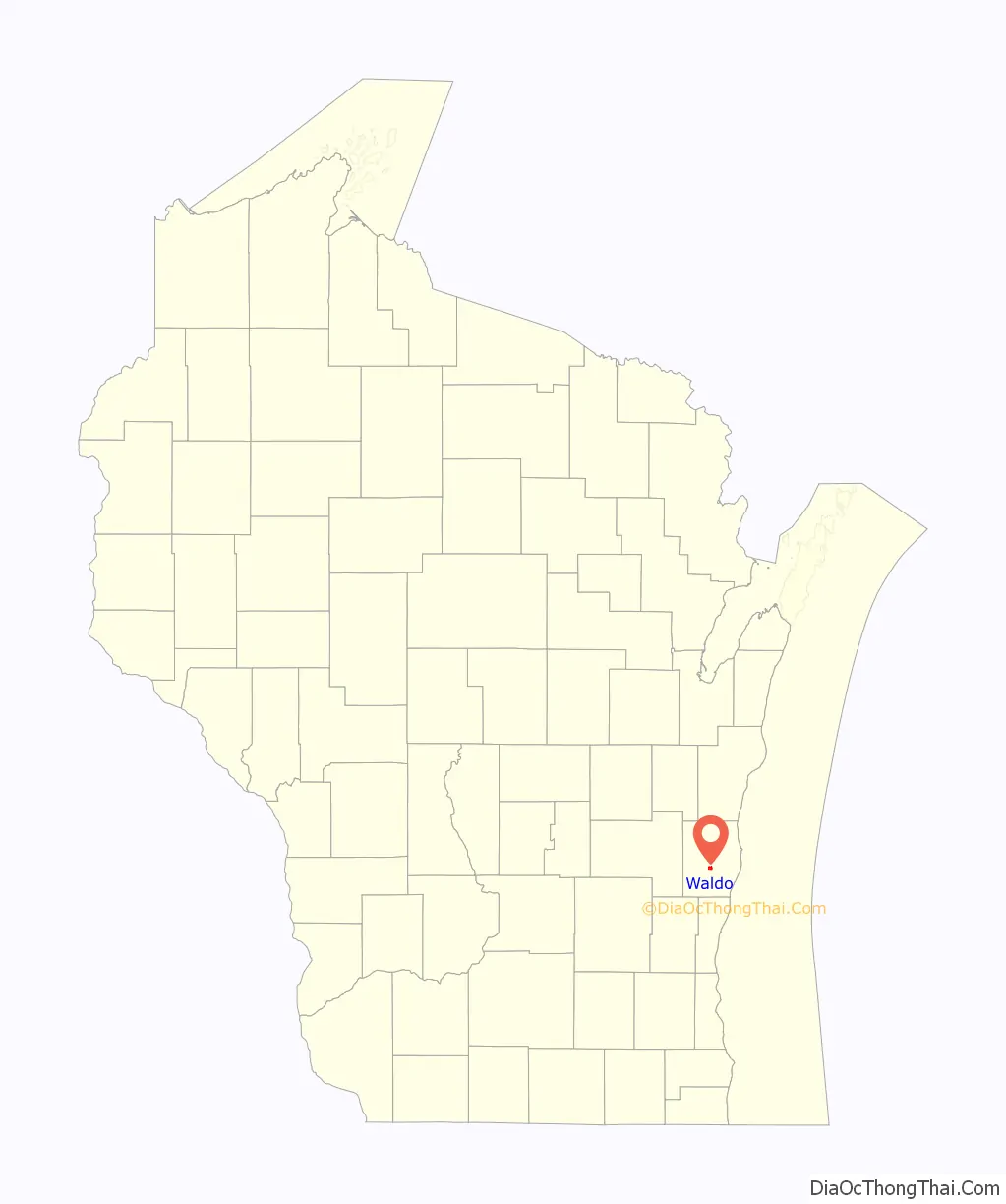
Waldo is a village along the Onion River in Sheboygan County, Wisconsin, United States. The population was 503 at the 2010 census. It has a post office with ZIP code 53093. It is included in the Sheboygan, Wisconsin Metropolitan Statistical Area.
| Name: | Waldo village |
|---|---|
| LSAD Code: | 47 |
| LSAD Description: | village (suffix) |
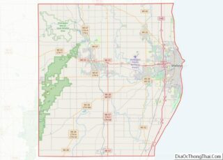
| State: | Wisconsin |
| County: | Sheboygan County |
| Elevation: | 856 ft (261 m) |
| Total Area: | 1.01 sq mi (2.63 km²) |
| Land Area: | 0.97 sq mi (2.52 km²) |
| Water Area: | 0.04 sq mi (0.11 km²) |
| Total Population: | 503 |
| Population Density: | 514.90/sq mi (198.74/km²) |
| ZIP code: | 53093 |
| Area code: | 920 |
| FIPS code: | 5583100 |
| GNISfeature ID: | 1576152 |
| Website: | villageofwaldo.com |
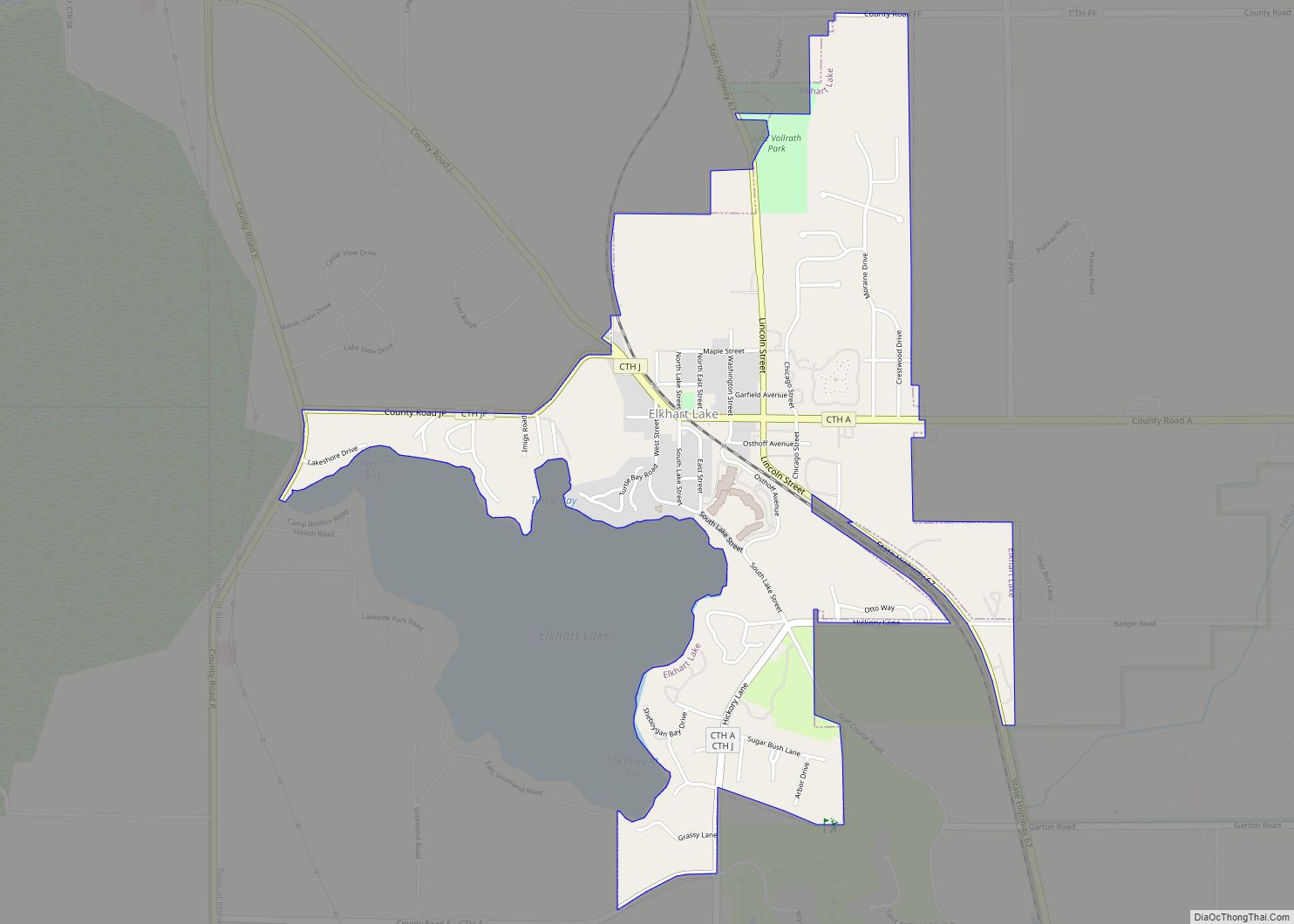
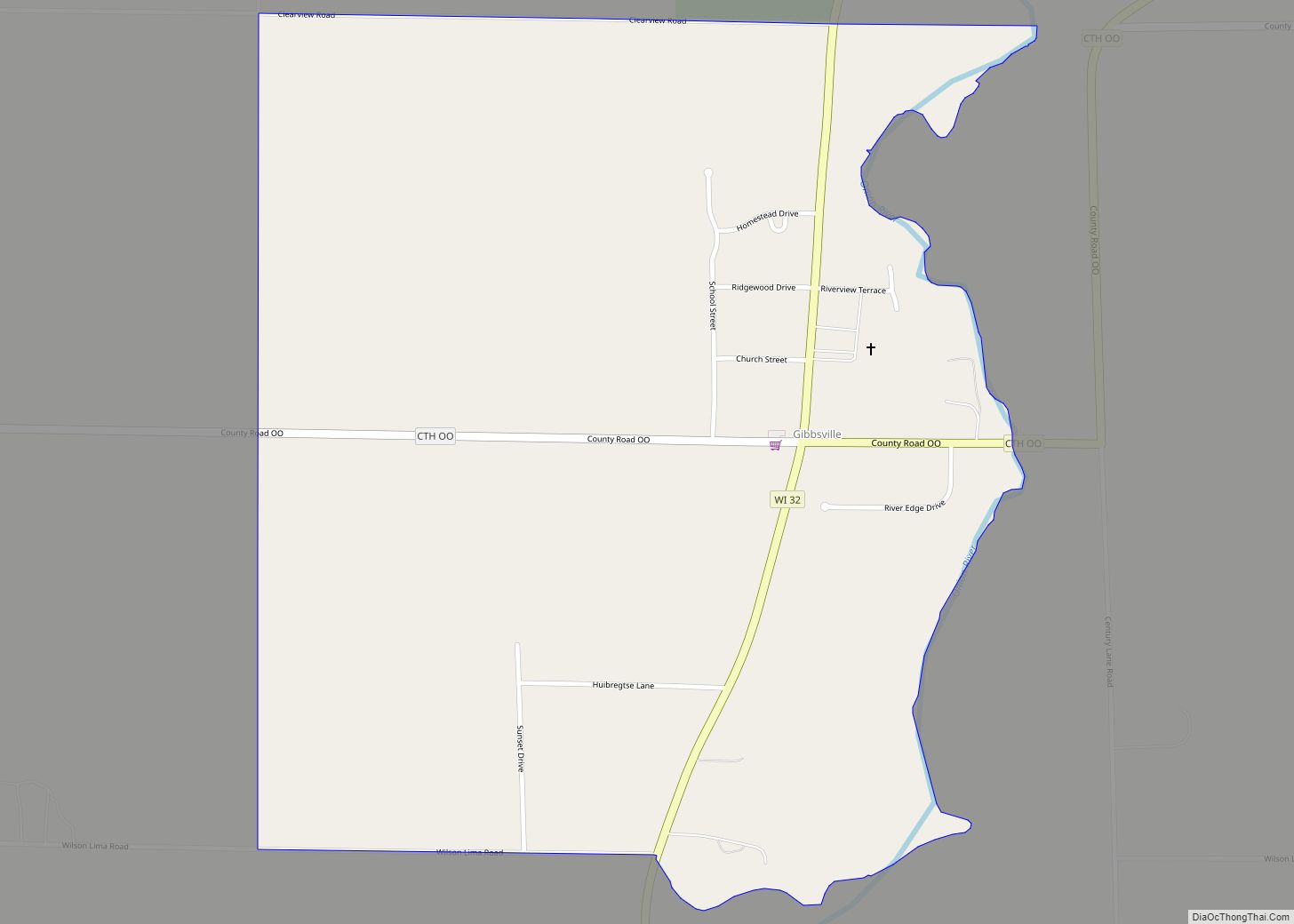
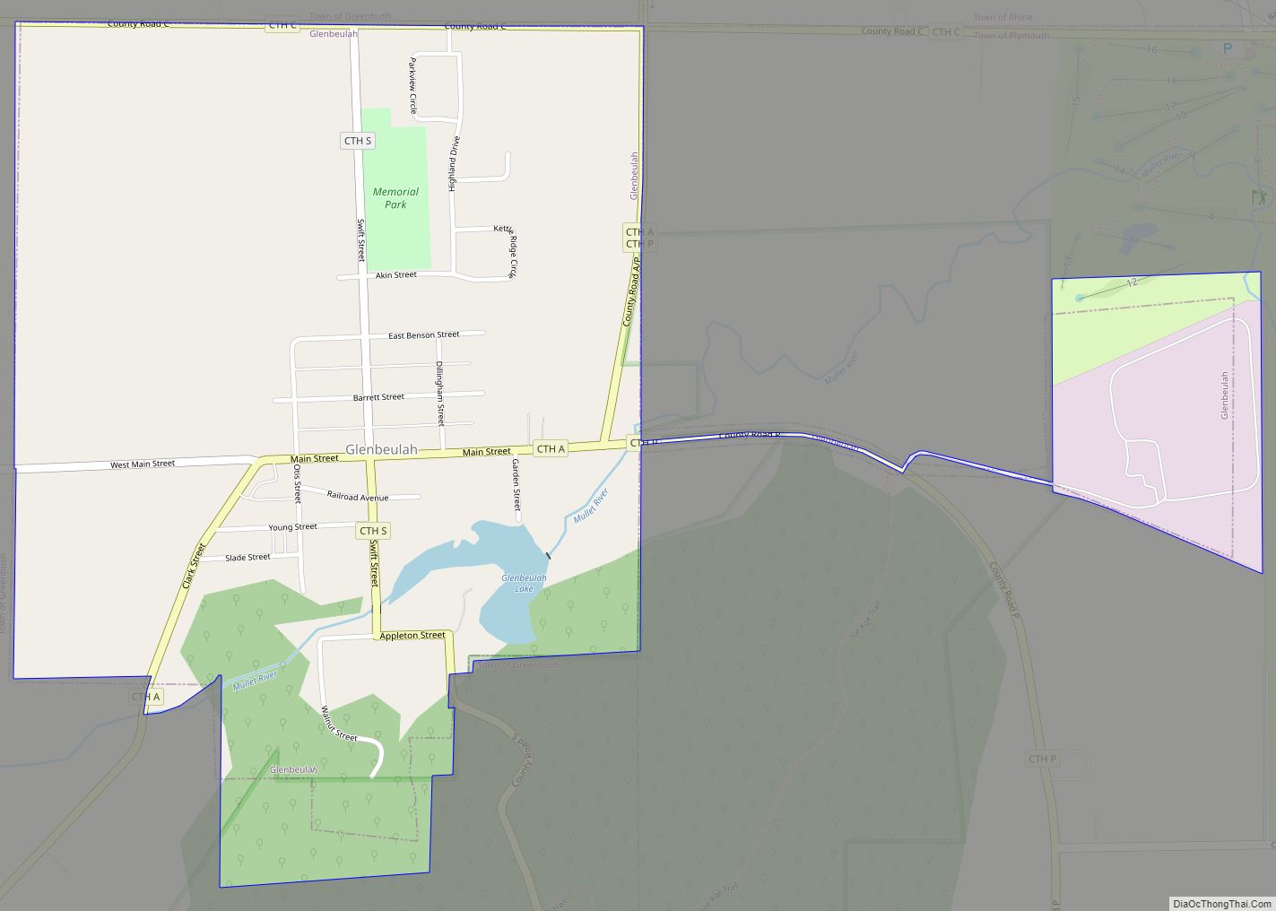
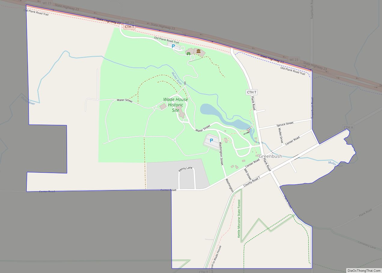
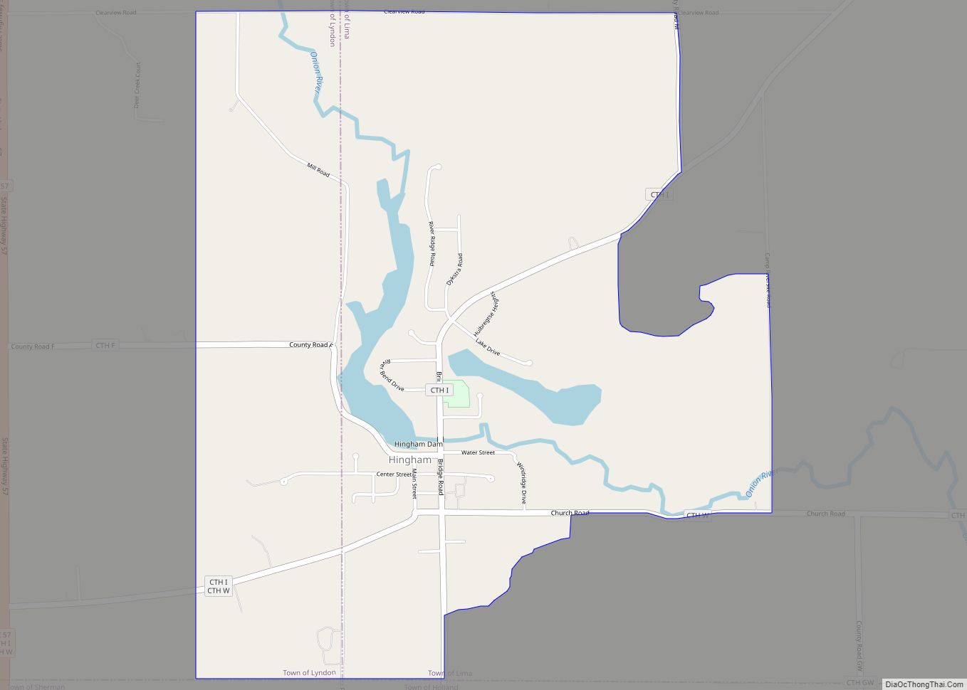
Online Interactive Map
Click on ![]() to view map in "full screen" mode.
to view map in "full screen" mode.
Waldo location map. Where is Waldo village?
History
The village was originally established as Lyndon Station (named for the town it resides in) when the Milwaukee and Northern Railway Company laid their tracks through in 1871. Starting in Milwaukee by 1873 the line had reached Green Bay, Wi. On June 20, 1890 the line was acquired by the Milwaukee Road (Chicago, Milwaukee, St Paul and Pacific Railroad) operating as the Green Bay Sub. The section between Milwaukee and Plymouth, Wi is currently operated by the Wisconsin and Southern Railroad and is used as a secondary freight only line serving local industry, as the Plymouth Sub.
The village was plated in 1873 by N.C. Harmon on 80 acres of land that he and his son-in-law Eugene McIntyre had purchased from Abraham Lawson. When it was discovered that there already was an existing Lyndon Station in Juneau County, it was decided to rename the village after Otis Harvey Waldo, a prominent Milwaukee attorney and then president of the railroad.
In 1877 the Post Office (Est. 1849) for the Onion River settlement (Est. 1844), one mile (1.6 km) east was closed. In 1923 Waldo became an incorporated village and Onion River ceased to exist. The open area between has since been built up.
The Onion River Dam, a Saw Mill and a Grist Mill had been built at this location on the Onion River in 1856. The Waldo Mill Pond has a normal surface area of 40 acres (160,000 m), currently used only for recreational purposes. The Onion River Dam is a gravity dam, of earthen construction, rock fill, originally completed in 1856. Its height is 15 feet (4.6 m) with a length of 300 feet (91 m). Maximum discharge is 1,165 cubic feet per second (33.0 m/s). Its capacity is 200 acres (0.81 km) feet. Normal storage is 100 acres (0.40 km) feet. It drains an area of 22 square miles (57 km). The dam and the related mill pond property are now owned by the village of Waldo.
The Waldo Cemetery in the northeast corner of the village is one of the oldest in the county, established in 1854. The former Waldo High School building still stands on the highest point in the village, built in 1904 and expanded in 1957. The Waldo School District was incorporated into the nearby Sheboygan Falls School District by vote in 1962.
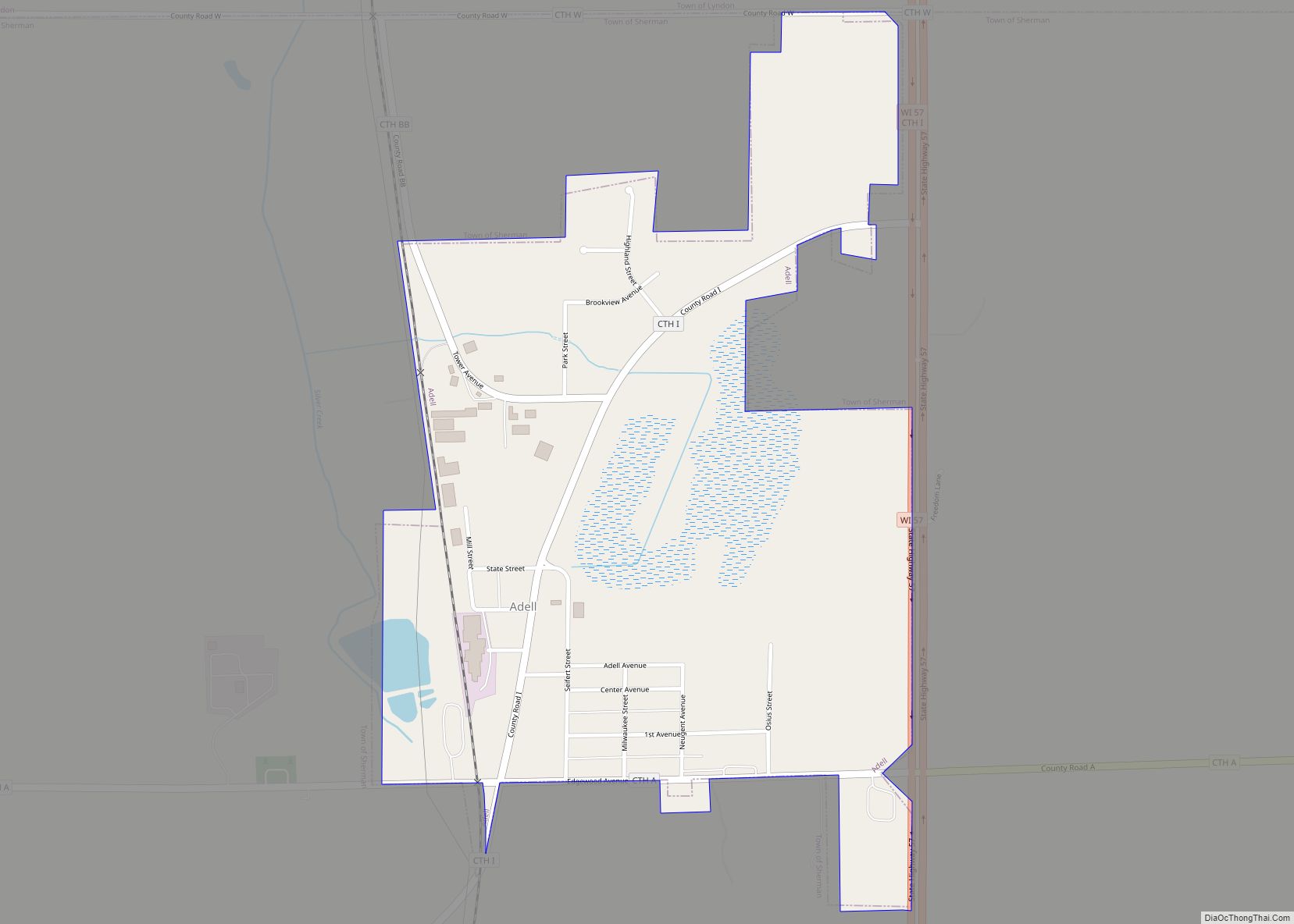
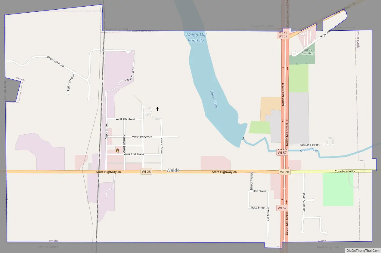
Waldo Road Map
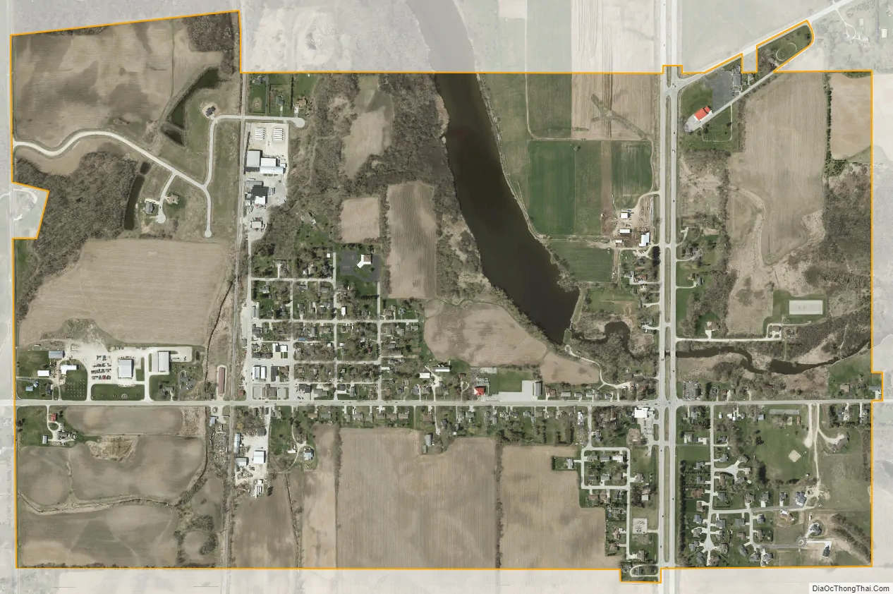
Waldo city Satellite Map
Geography
Waldo is located at 43°40′32″N 87°56′48″W / 43.67556°N 87.94667°W / 43.67556; -87.94667 (43.675585, -87.946636).
According to the United States Census Bureau, the village has a total area of 0.98 square miles (2.54 km), of which, 0.94 square miles (2.43 km) of it is land and 0.04 square miles (0.10 km) is water.
See also
Map of Wisconsin State and its subdivision:- Adams
- Ashland
- Barron
- Bayfield
- Brown
- Buffalo
- Burnett
- Calumet
- Chippewa
- Clark
- Columbia
- Crawford
- Dane
- Dodge
- Door
- Douglas
- Dunn
- Eau Claire
- Florence
- Fond du Lac
- Forest
- Grant
- Green
- Green Lake
- Iowa
- Iron
- Jackson
- Jefferson
- Juneau
- Kenosha
- Kewaunee
- La Crosse
- Lafayette
- Lake Michigan
- Lake Superior
- Langlade
- Lincoln
- Manitowoc
- Marathon
- Marinette
- Marquette
- Menominee
- Milwaukee
- Monroe
- Oconto
- Oneida
- Outagamie
- Ozaukee
- Pepin
- Pierce
- Polk
- Portage
- Price
- Racine
- Richland
- Rock
- Rusk
- Saint Croix
- Sauk
- Sawyer
- Shawano
- Sheboygan
- Taylor
- Trempealeau
- Vernon
- Vilas
- Walworth
- Washburn
- Washington
- Waukesha
- Waupaca
- Waushara
- Winnebago
- Wood
- Alabama
- Alaska
- Arizona
- Arkansas
- California
- Colorado
- Connecticut
- Delaware
- District of Columbia
- Florida
- Georgia
- Hawaii
- Idaho
- Illinois
- Indiana
- Iowa
- Kansas
- Kentucky
- Louisiana
- Maine
- Maryland
- Massachusetts
- Michigan
- Minnesota
- Mississippi
- Missouri
- Montana
- Nebraska
- Nevada
- New Hampshire
- New Jersey
- New Mexico
- New York
- North Carolina
- North Dakota
- Ohio
- Oklahoma
- Oregon
- Pennsylvania
- Rhode Island
- South Carolina
- South Dakota
- Tennessee
- Texas
- Utah
- Vermont
- Virginia
- Washington
- West Virginia
- Wisconsin
- Wyoming