Waunakee (/ˌwɔːnəˈkiː/) is a village in Dane County, Wisconsin, United States. The population was 14,879 at the 2020 census. It is part of the Madison Metropolitan Statistical Area. Waunakee bills itself as “The Only Waunakee in the World”.
| Name: | Waunakee village |
|---|---|
| LSAD Code: | 47 |
| LSAD Description: | village (suffix) |
| State: | Wisconsin |
| County: | Dane County |
| Elevation: | 928 ft (283 m) |
| Total Area: | 7.17 sq mi (18.58 km²) |
| Land Area: | 7.17 sq mi (18.57 km²) |
| Water Area: | 0.00 sq mi (0.01 km²) |
| Total Population: | 14,879 |
| Population Density: | 1,959.83/sq mi (756.74/km²) |
| ZIP code: | 53597 |
| Area code: | 608 |
| FIPS code: | 5584350 |
| GNISfeature ID: | 1576318 |
| Website: | www.vil.waunakee.wi.us |
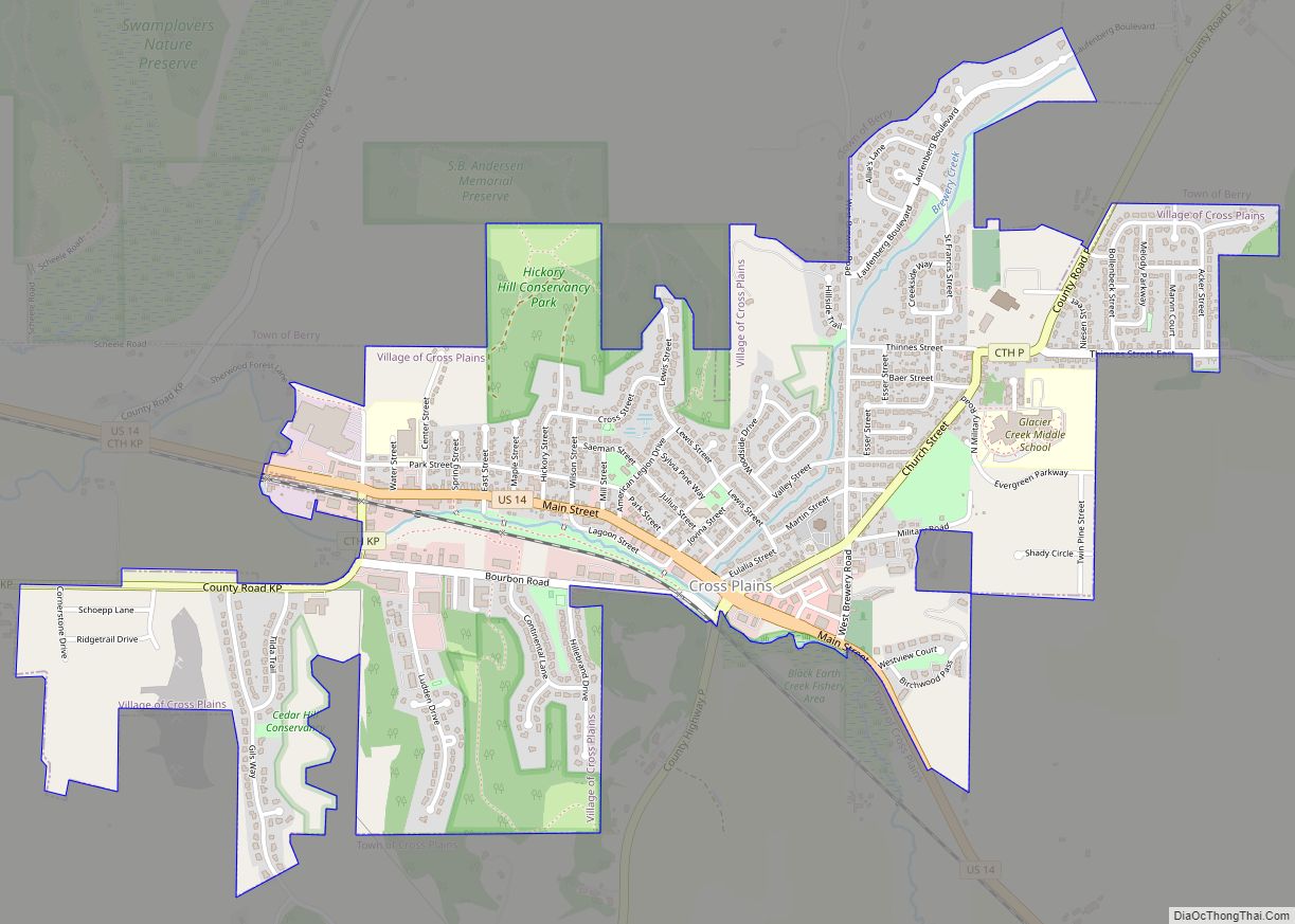
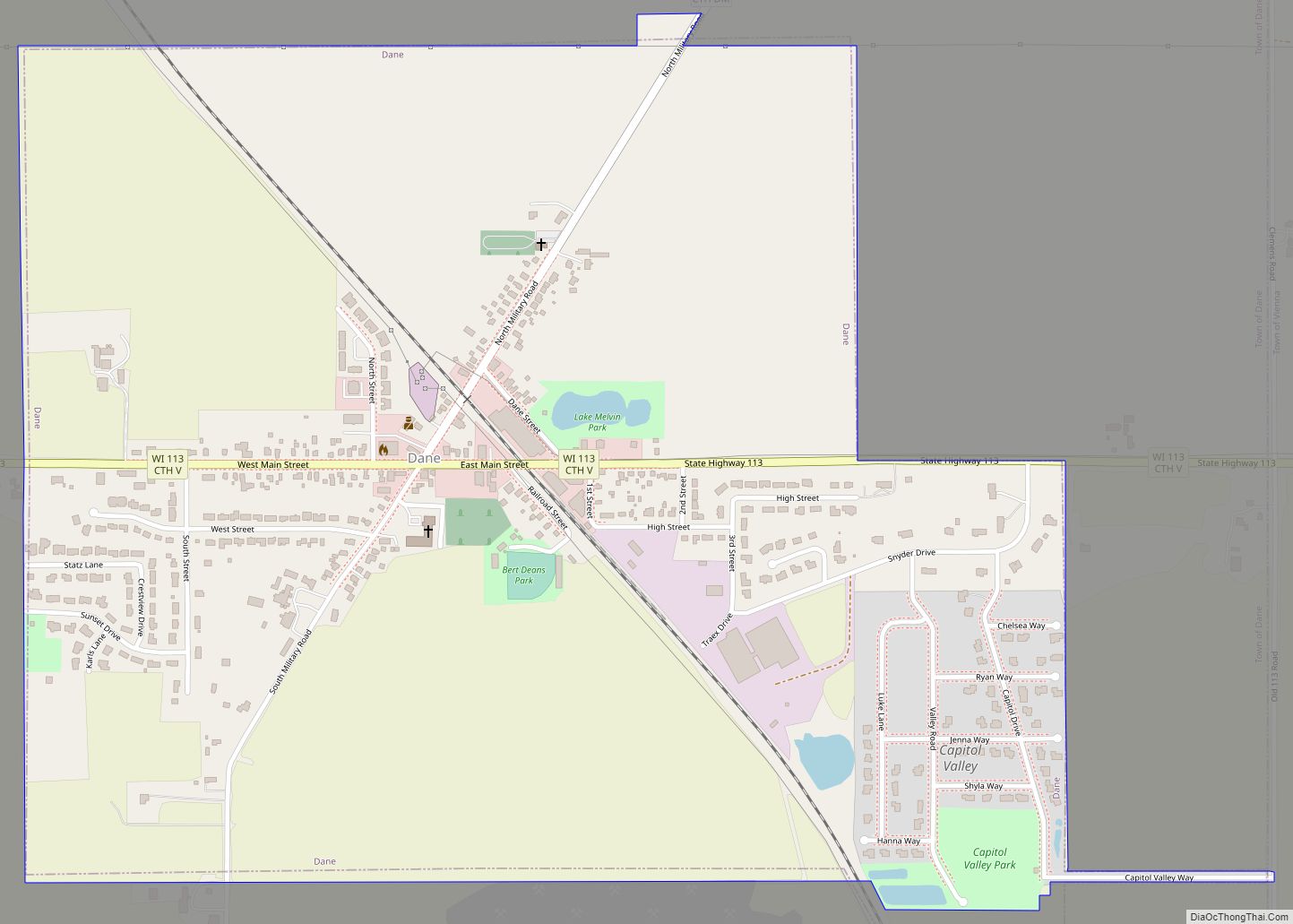
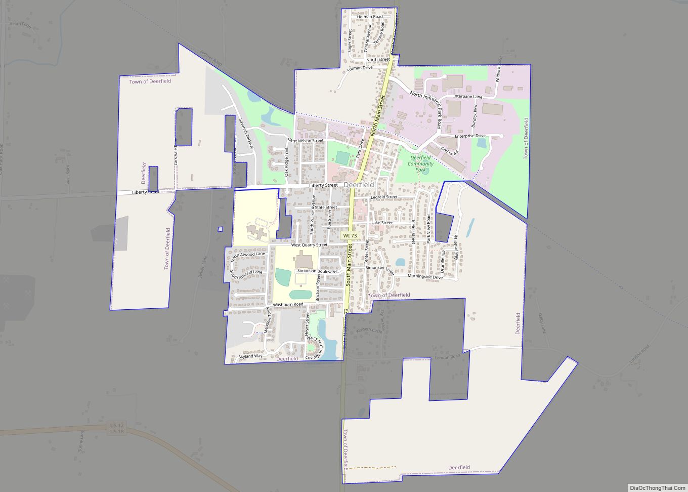
Online Interactive Map
Click on ![]() to view map in "full screen" mode.
to view map in "full screen" mode.
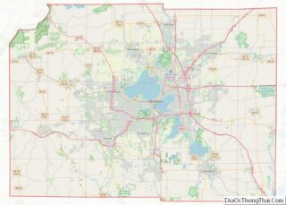
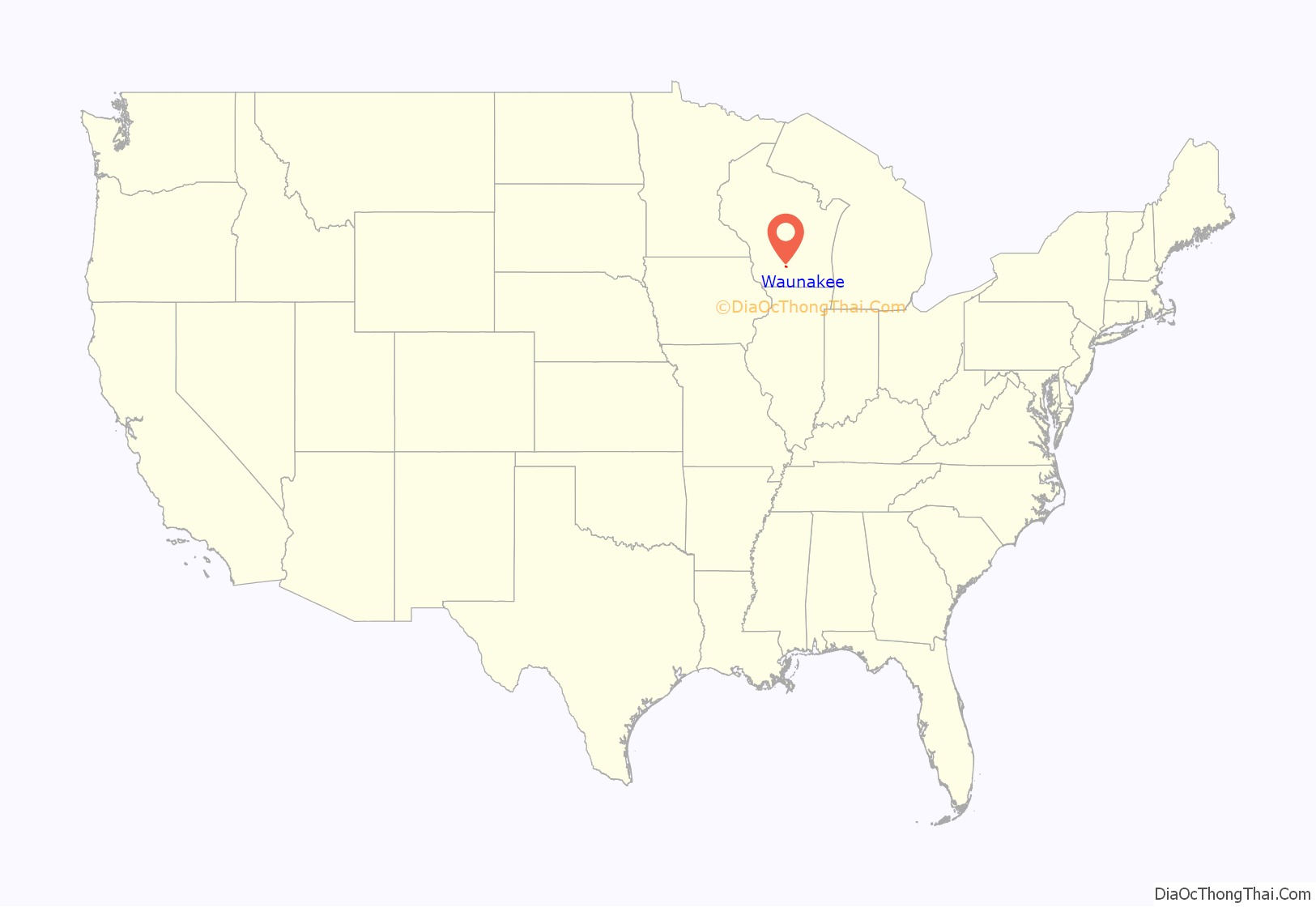
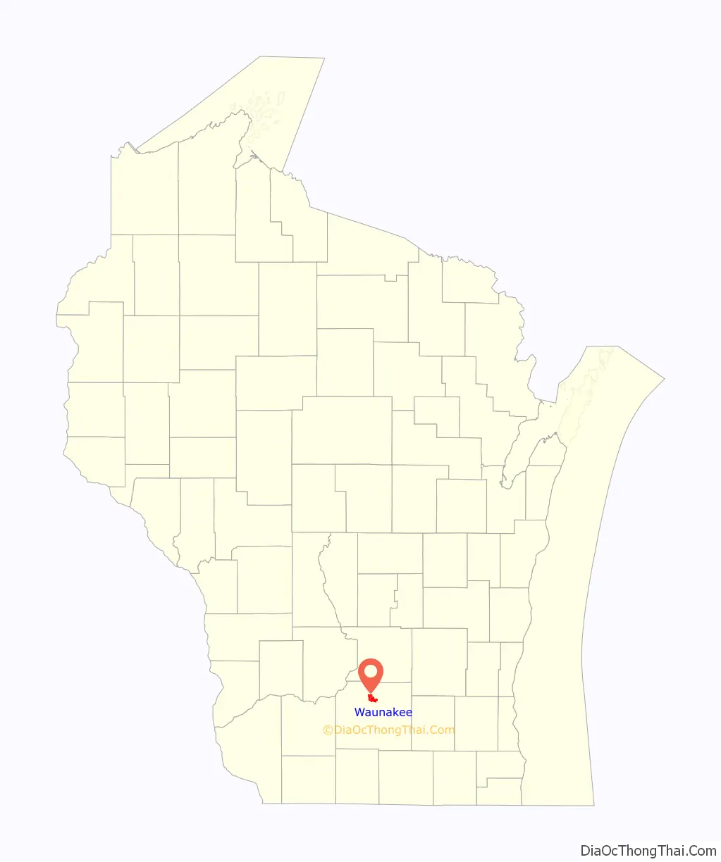
Waunakee location map. Where is Waunakee village?
History
When the Chicago and Northwestern Railroad wanted to expand its line from Madison to Saint Paul, a door was opened for development of a town. The original location of the village was intended to be at Packham’s Mill, about where Mill Road crosses the railroad track today two miles southeast of today’s downtown Waunakee. However, two local settlers, Louis Baker and George Fish, platted a village on their land two miles further northwest along the railroad. Railroad officials agreed to moving a train depot to the new community in exchange for $1,500 and two miles of right of way. The village was founded in 1871 and formally incorporated in 1893. Baker and Fish did not want to take credit for naming the community, so they asked Simeon Mills and Mr. Hill of Madison to come up with a list. The name “Waunakee” has a Native American origin meaning “fair and pleasant valley.”
Robert F. Kennedy visited the village to campaign for his brother John for president in February 1960.
Former First Lady Barbara Bush visited the village to campaign for her son George for president in October 2000.
The landmark Waunakee Railroad Depot located in the central part of town is listed on the National Register of Historic Places. It now houses the Waunakee Area Chamber of Commerce offices.
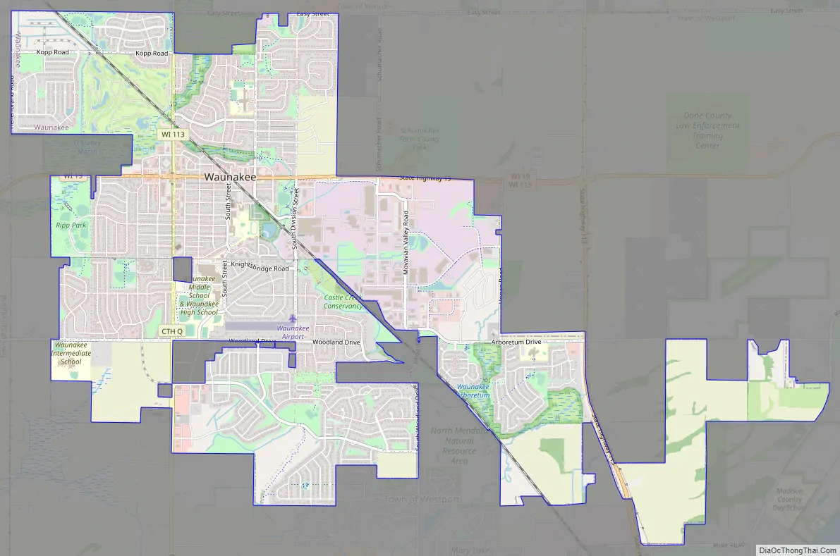
Waunakee Road Map
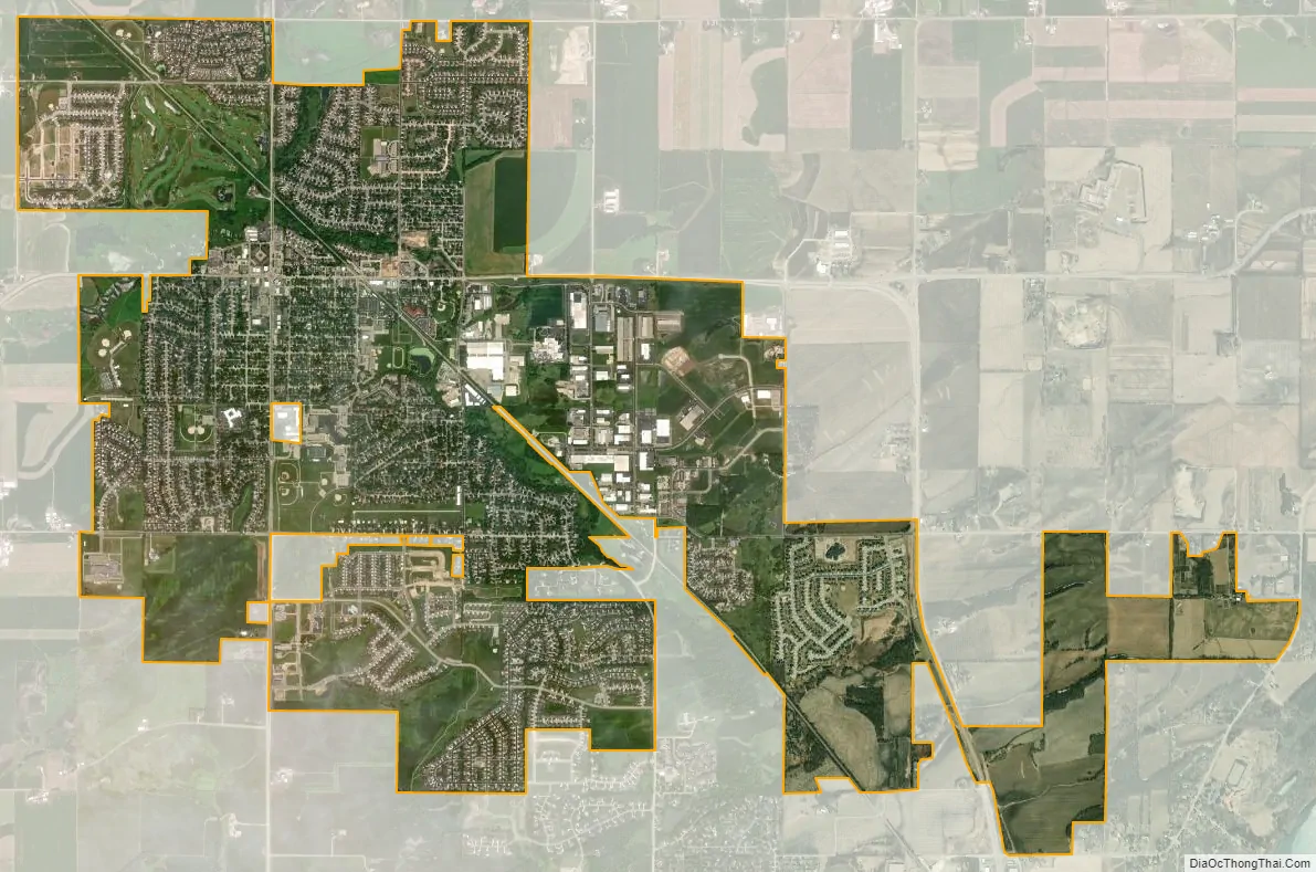
Waunakee city Satellite Map
Geography
Waunakee is located at 43°11′14″N 89°27′8″W / 43.18722°N 89.45222°W / 43.18722; -89.45222 (43.187253, −89.452244).
According to the United States Census Bureau, the village has a total area of 6.39 square miles (16.55 km), of which, 6.38 square miles (16.52 km) is land and 0.01 square miles (0.03 km) is water.
The village is bordered on the south and east by the town of Westport, the north by the town of Vienna, the northwest by the town of Dane, and to the west by the town of Springfield.
Six Mile Creek, the main waterway through the community, runs west to east before making a southerly turn through the village on its way to Lake Mendota.
See also
Map of Wisconsin State and its subdivision:- Adams
- Ashland
- Barron
- Bayfield
- Brown
- Buffalo
- Burnett
- Calumet
- Chippewa
- Clark
- Columbia
- Crawford
- Dane
- Dodge
- Door
- Douglas
- Dunn
- Eau Claire
- Florence
- Fond du Lac
- Forest
- Grant
- Green
- Green Lake
- Iowa
- Iron
- Jackson
- Jefferson
- Juneau
- Kenosha
- Kewaunee
- La Crosse
- Lafayette
- Lake Michigan
- Lake Superior
- Langlade
- Lincoln
- Manitowoc
- Marathon
- Marinette
- Marquette
- Menominee
- Milwaukee
- Monroe
- Oconto
- Oneida
- Outagamie
- Ozaukee
- Pepin
- Pierce
- Polk
- Portage
- Price
- Racine
- Richland
- Rock
- Rusk
- Saint Croix
- Sauk
- Sawyer
- Shawano
- Sheboygan
- Taylor
- Trempealeau
- Vernon
- Vilas
- Walworth
- Washburn
- Washington
- Waukesha
- Waupaca
- Waushara
- Winnebago
- Wood
- Alabama
- Alaska
- Arizona
- Arkansas
- California
- Colorado
- Connecticut
- Delaware
- District of Columbia
- Florida
- Georgia
- Hawaii
- Idaho
- Illinois
- Indiana
- Iowa
- Kansas
- Kentucky
- Louisiana
- Maine
- Maryland
- Massachusetts
- Michigan
- Minnesota
- Mississippi
- Missouri
- Montana
- Nebraska
- Nevada
- New Hampshire
- New Jersey
- New Mexico
- New York
- North Carolina
- North Dakota
- Ohio
- Oklahoma
- Oregon
- Pennsylvania
- Rhode Island
- South Carolina
- South Dakota
- Tennessee
- Texas
- Utah
- Vermont
- Virginia
- Washington
- West Virginia
- Wisconsin
- Wyoming