Williams Bay is a village in Walworth County, Wisconsin, United States. It is one of three municipalities on Geneva Lake. The population was 2,953 at the 2020 census.
| Name: | Williams Bay village |
|---|---|
| LSAD Code: | 47 |
| LSAD Description: | village (suffix) |
| State: | Wisconsin |
| County: | Walworth County |
| Elevation: | 879 ft (268 m) |
| Total Area: | 2.78 sq mi (7.20 km²) |
| Land Area: | 2.78 sq mi (7.20 km²) |
| Water Area: | 0.00 sq mi (0.00 km²) |
| Total Population: | 2,953 |
| Population Density: | 949.28/sq mi (366.55/km²) |
| ZIP code: | 53191 |
| Area code: | 262 |
| FIPS code: | 5587200 |
| GNISfeature ID: | 1576761 |
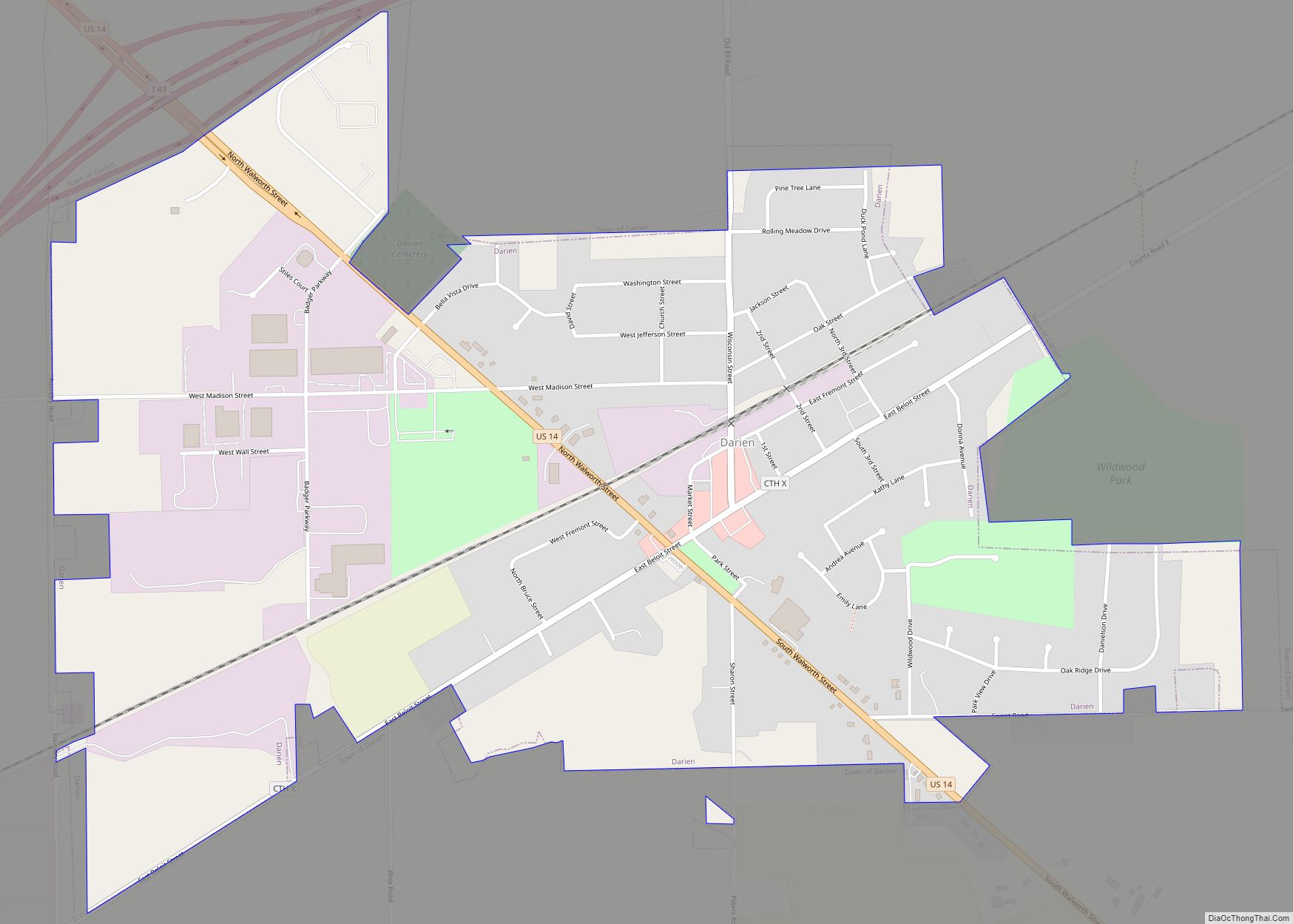
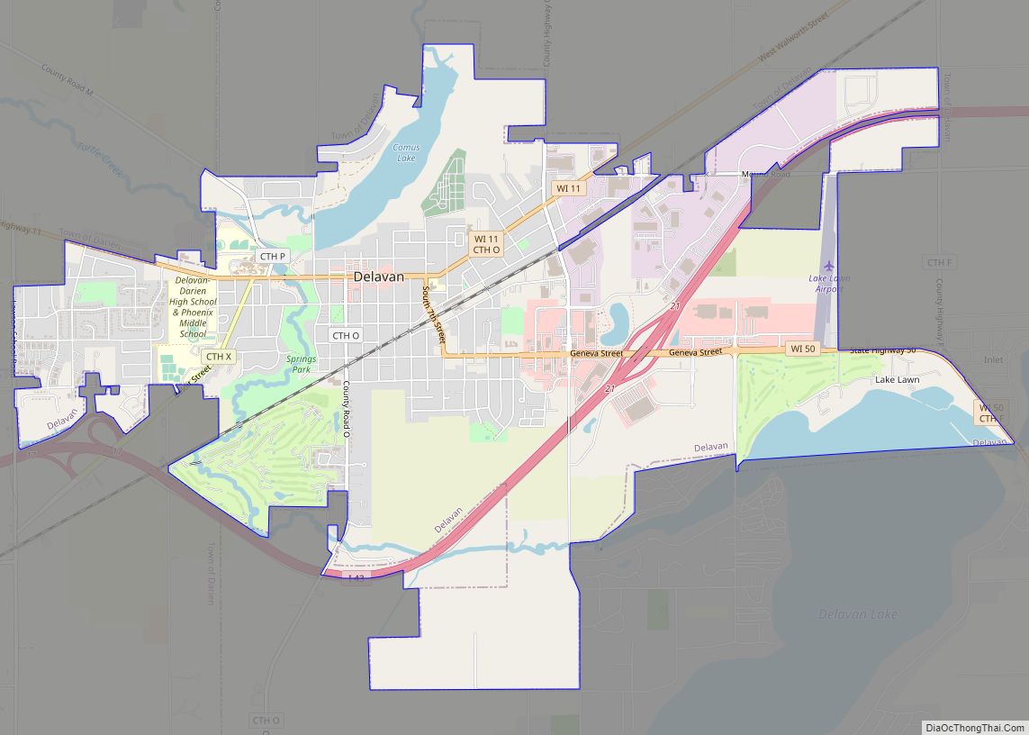
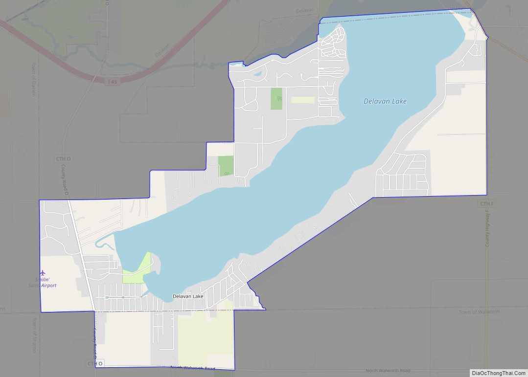
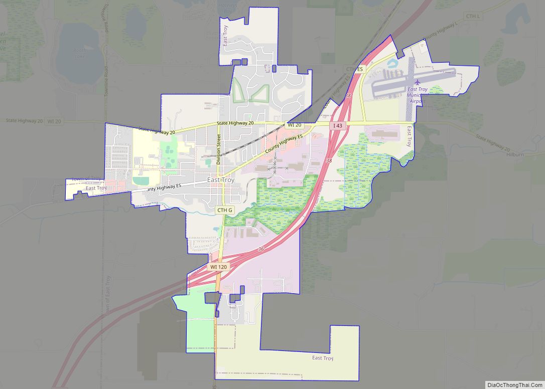
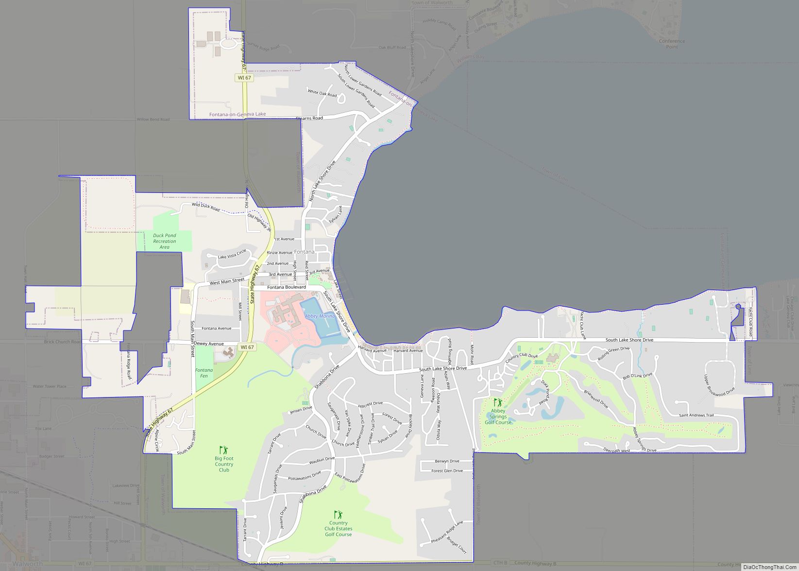
Online Interactive Map
Click on ![]() to view map in "full screen" mode.
to view map in "full screen" mode.
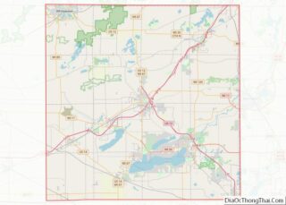
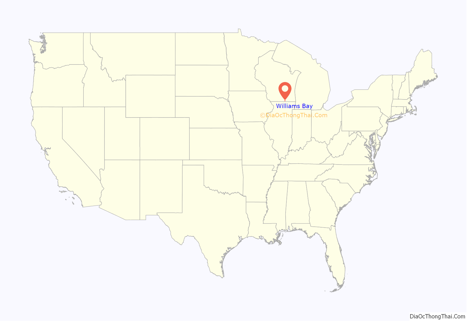
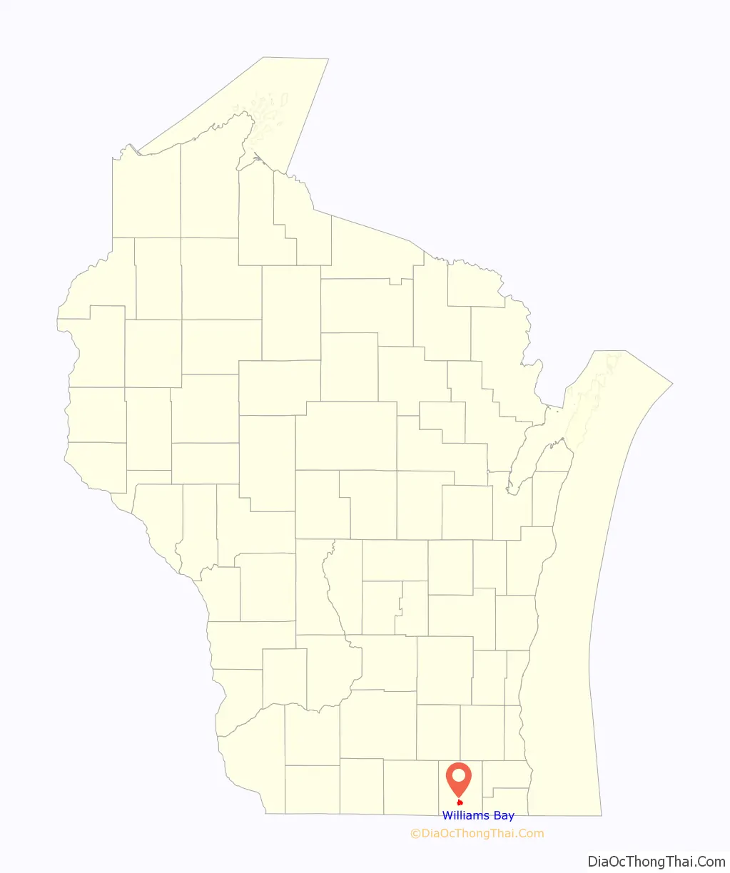
Williams Bay location map. Where is Williams Bay village?
History
The village was named for Captain Israel Williams of Massachusetts, who, with several of his sons, settled in the area in 1837. Much of the surrounding area was settled in the early 19th century by surveyors plotting roadways from the East.
Williams Bay became a vacation spot for wealthy Chicagoans displaced by the Great Chicago Fire of 1871. The village continues to attract vacationers from Chicago, Milwaukee and elsewhere.
In 1873, mail jumping was established on Geneva Lake as a means to provide postal service to lakeside homes. The tradition continues today. Each year between June 15 and September 15, jumpers deliver mail to piers along the lake on behalf of the US Postal Service.
In 1886, a training camp was established by leaders of the YMCA at Williams Bay. The camp’s programs later evolved into George Williams College, an independent institution of higher education based in the Hyde Park neighborhood of Chicago and later in Downers Grove, Illinois. The Williams Bay site continued to be used as a summer training camp. The college was later absorbed by Aurora University.
The village is probably best known internationally for being home to the Yerkes Observatory which was established by the University of Chicago in 1897. The building was designed by Henry Ives Cobb, while the grounds were designed by John Charles Olmsted. The observatory’s Greco-Roman façade has intricate stonework and carvings. The observatory houses the world’s largest refracting (lens) telescope, the great 40-inch, which saw first light in May 1897. The Observatory’s first Director was George Ellery Hale, who went on to establish Mount Wilson Observatory in Southern California. The observatory has been an important center of astronomical research. The Astrophysical Journal was previously published at the observatory and the facility was the site of the first meeting of the American Astronomical Society in 1899. Albert Einstein visited the observatory during his first trip to the United States in 1921. The facility is now operated by the Yerkes Future Foundation.
The Williams Bay Air Force Station served as a general surveillance radar station from 1950-1960. A historical marker on the site commemorates the 755th Radar Squadron.
In October 1965, Dr. Martin Luther King Jr. led a three day retreat of fellow activists and supporters at Conference Point Center. The purpose of the retreat was to develop a strategy to protest racial segregation in Chicago. The resulting plan became known as the Chicago Freedom Movement.
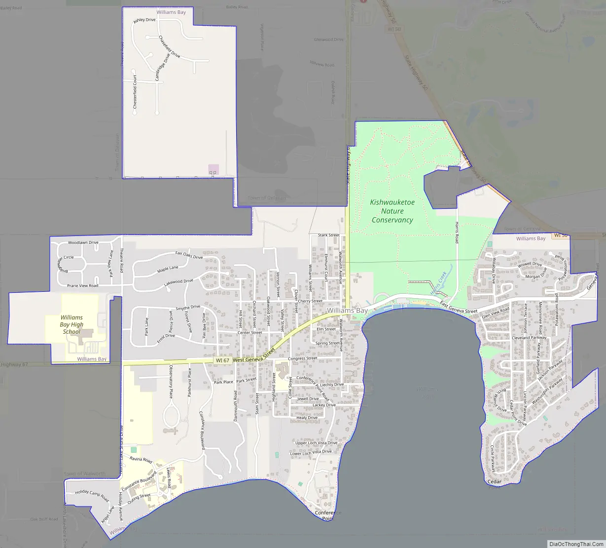
Williams Bay Road Map
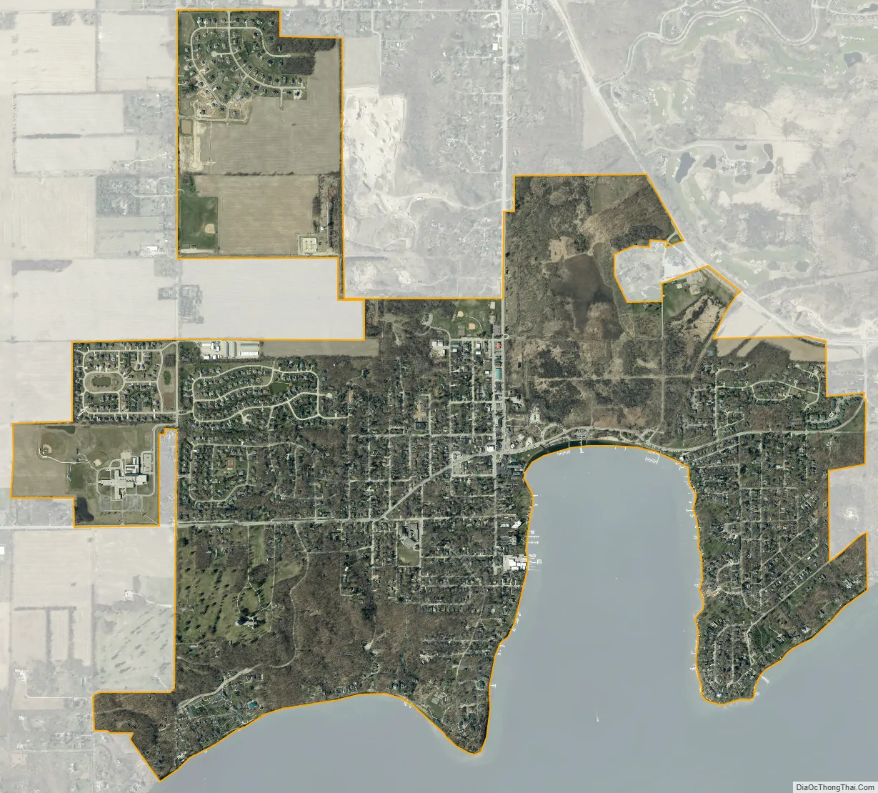
Williams Bay city Satellite Map
Geography
Williams Bay is located at 42°34′27″N 88°32′37″W / 42.57417°N 88.54361°W / 42.57417; -88.54361 (42.574208, -88.543690).
According to the United States Census Bureau, the village has a total area of 2.80 square miles (7.25 km), all of it land.
See also
Map of Wisconsin State and its subdivision:- Adams
- Ashland
- Barron
- Bayfield
- Brown
- Buffalo
- Burnett
- Calumet
- Chippewa
- Clark
- Columbia
- Crawford
- Dane
- Dodge
- Door
- Douglas
- Dunn
- Eau Claire
- Florence
- Fond du Lac
- Forest
- Grant
- Green
- Green Lake
- Iowa
- Iron
- Jackson
- Jefferson
- Juneau
- Kenosha
- Kewaunee
- La Crosse
- Lafayette
- Lake Michigan
- Lake Superior
- Langlade
- Lincoln
- Manitowoc
- Marathon
- Marinette
- Marquette
- Menominee
- Milwaukee
- Monroe
- Oconto
- Oneida
- Outagamie
- Ozaukee
- Pepin
- Pierce
- Polk
- Portage
- Price
- Racine
- Richland
- Rock
- Rusk
- Saint Croix
- Sauk
- Sawyer
- Shawano
- Sheboygan
- Taylor
- Trempealeau
- Vernon
- Vilas
- Walworth
- Washburn
- Washington
- Waukesha
- Waupaca
- Waushara
- Winnebago
- Wood
- Alabama
- Alaska
- Arizona
- Arkansas
- California
- Colorado
- Connecticut
- Delaware
- District of Columbia
- Florida
- Georgia
- Hawaii
- Idaho
- Illinois
- Indiana
- Iowa
- Kansas
- Kentucky
- Louisiana
- Maine
- Maryland
- Massachusetts
- Michigan
- Minnesota
- Mississippi
- Missouri
- Montana
- Nebraska
- Nevada
- New Hampshire
- New Jersey
- New Mexico
- New York
- North Carolina
- North Dakota
- Ohio
- Oklahoma
- Oregon
- Pennsylvania
- Rhode Island
- South Carolina
- South Dakota
- Tennessee
- Texas
- Utah
- Vermont
- Virginia
- Washington
- West Virginia
- Wisconsin
- Wyoming