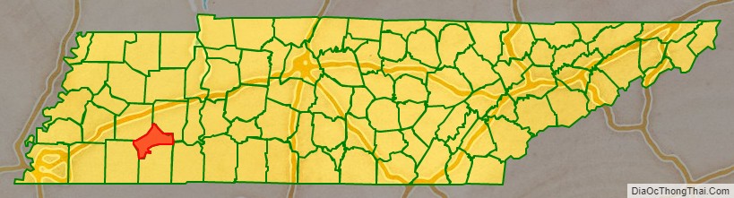
Chester County is a county located in the U.S. state of Tennessee. As of the 2020 census, the population was 17,341. Its county seat is Henderson. The county was created in 1879 and organized in 1882. Chester County is included in the Jackson, TN Metropolitan Statistical Area.
| Name: | Chester County |
|---|---|
| FIPS code: | 47-023 |
| State: | Tennessee |
| Founded: | 1882 |
| Named for: | Robert Chester |
| Seat: | Henderson |
| Largest city: | Henderson |
| Total Area: | 286 sq mi (740 km²) |
| Land Area: | 286 sq mi (740 km²) |
| Total Population: | 17,341 |
| Population Density: | 60/sq mi (20/km²) |
| Time zone: | UTC−6 (Central) |
| Summer Time Zone (DST): | UTC−5 (CDT) |
| Website: | chestercountytn.org |
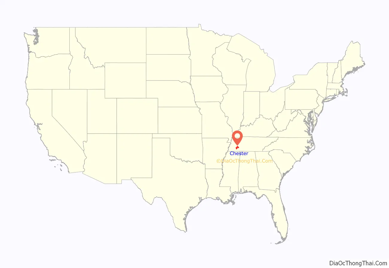
Chester County location map. Where is Chester County?
History
Chester County was the last county formed in Tennessee, created by the General Assembly in 1875 from adjacent parts of neighboring Hardeman, Henderson, McNairy, and Madison counties. This land was used to create a county named Wisdom County, but “Wisdom County” was never organized, and in March 1879 the Assembly repealed this and created Chester County out of the same land. Lawsuits by opponents of the creation of the new county delayed actual organization until 1882. Chester County was named for Colonel Robert I. Chester, a quartermaster in the War of 1812, an early postmaster in Jackson, and a federal marshal.
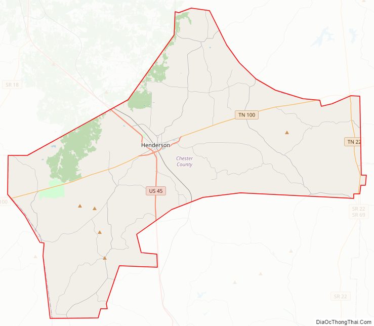
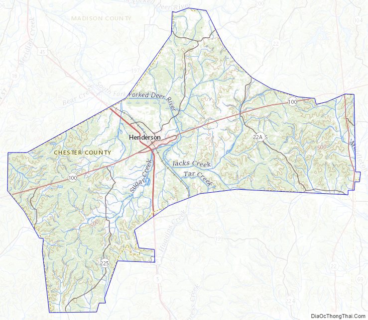
Chester County Road Map
Geography
According to the U.S. Census Bureau, the county has a total area of 286 square miles (740 km), of which 286 square miles (740 km) is land and 0.2 square miles (0.52 km) (0.08%) is water.
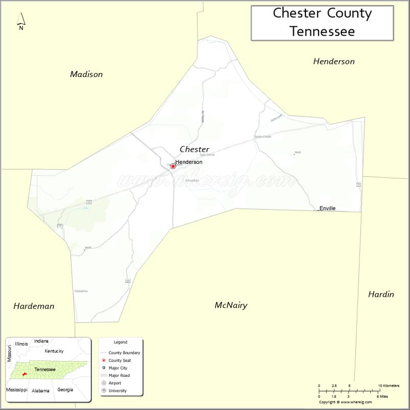
Adjacent Counties
- Henderson County (northeast)
- Hardin County (southeast)
- McNairy County (south)
- Hardeman County (southwest)
- Madison County (northwest)
State protected areas
- Chickasaw State Park
- Chickasaw State Forest (part)
Chester County Topographic Map
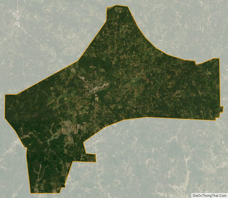
Chester County Satellite Map
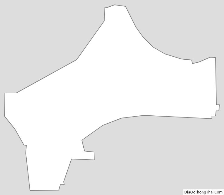
Chester County Outline Map
See also
Map of Tennessee State and its subdivision:- Anderson
- Bedford
- Benton
- Bledsoe
- Blount
- Bradley
- Campbell
- Cannon
- Carroll
- Carter
- Cheatham
- Chester
- Claiborne
- Clay
- Cocke
- Coffee
- Crockett
- Cumberland
- Davidson
- Decatur
- DeKalb
- Dickson
- Dyer
- Fayette
- Fentress
- Franklin
- Gibson
- Giles
- Grainger
- Greene
- Grundy
- Hamblen
- Hamilton
- Hancock
- Hardeman
- Hardin
- Hawkins
- Haywood
- Henderson
- Henry
- Hickman
- Houston
- Humphreys
- Jackson
- Jefferson
- Johnson
- Knox
- Lake
- Lauderdale
- Lawrence
- Lewis
- Lincoln
- Loudon
- Macon
- Madison
- Marion
- Marshall
- Maury
- McMinn
- McNairy
- Meigs
- Monroe
- Montgomery
- Moore
- Morgan
- Obion
- Overton
- Perry
- Pickett
- Polk
- Putnam
- Rhea
- Roane
- Robertson
- Rutherford
- Scott
- Sequatchie
- Sevier
- Shelby
- Smith
- Stewart
- Sullivan
- Sumner
- Tipton
- Trousdale
- Unicoi
- Union
- Van Buren
- Warren
- Washington
- Wayne
- Weakley
- White
- Williamson
- Wilson
- Alabama
- Alaska
- Arizona
- Arkansas
- California
- Colorado
- Connecticut
- Delaware
- District of Columbia
- Florida
- Georgia
- Hawaii
- Idaho
- Illinois
- Indiana
- Iowa
- Kansas
- Kentucky
- Louisiana
- Maine
- Maryland
- Massachusetts
- Michigan
- Minnesota
- Mississippi
- Missouri
- Montana
- Nebraska
- Nevada
- New Hampshire
- New Jersey
- New Mexico
- New York
- North Carolina
- North Dakota
- Ohio
- Oklahoma
- Oregon
- Pennsylvania
- Rhode Island
- South Carolina
- South Dakota
- Tennessee
- Texas
- Utah
- Vermont
- Virginia
- Washington
- West Virginia
- Wisconsin
- Wyoming