Cordova is a city in Walker County, Alabama, United States. It was formerly a textile mill town. It was incorporated in 1897. At the 2010 census the population was 2,095, down from 2,423 in 2000.
| Name: | Cordova city |
|---|---|
| LSAD Code: | 25 |
| LSAD Description: | city (suffix) |
| State: | Alabama |
| County: | Walker County |
| Elevation: | 302 ft (92 m) |
| Total Area: | 5.94 sq mi (15.40 km²) |
| Land Area: | 5.83 sq mi (15.10 km²) |
| Water Area: | 0.11 sq mi (0.29 km²) |
| Total Population: | 1,728 |
| Population Density: | 296.35/sq mi (114.41/km²) |
| ZIP code: | 35550 |
| Area code: | 205, 659 |
| FIPS code: | 0117368 |
| GNISfeature ID: | 0116626 |
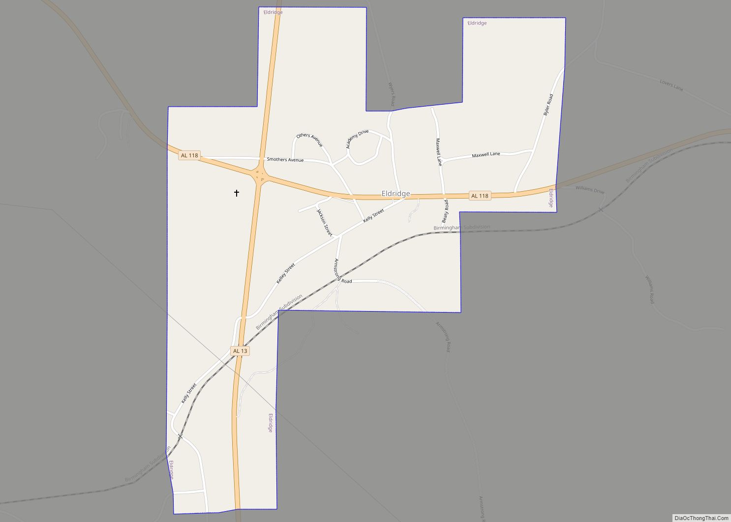
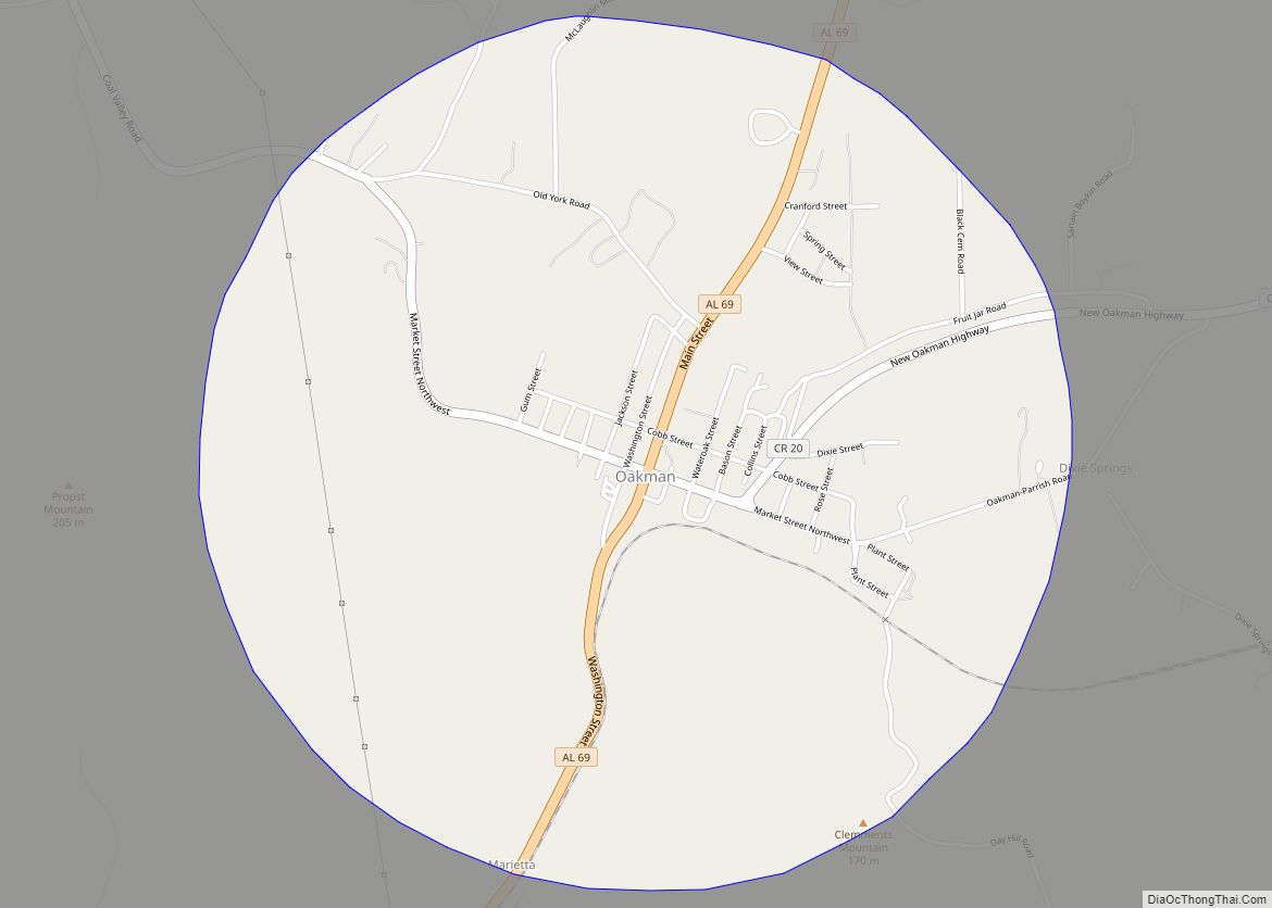
Online Interactive Map
Click on ![]() to view map in "full screen" mode.
to view map in "full screen" mode.
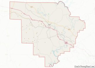
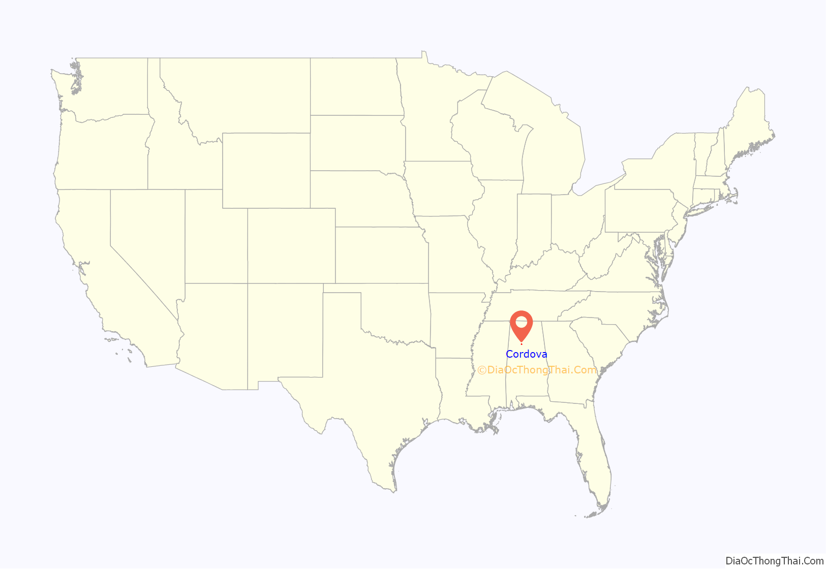
Cordova location map. Where is Cordova city?
History
Cordova was originally a settlement on the Mulberry Fork of the Black Warrior River called “Dent” or “Dent’s Place.” The city was dubbed “Cordova” by Captain Benjamin M. Long in 1859. He named the city after a city in Mexico where he was stationed during the Mexican–American War. Long himself opened a mercantile shop in the city and helped lure other industries into the city by providing the land necessary for their operations.
The company that had the biggest impact on the city was Nashua Manufacturing Company out of Nashua, New Hampshire, who brought in the Indian Head Textile Mills. The mill brought with it many jobs, and as was customary of the day, its own village. The company built over 100 houses in the city, many of which are still standing, and occupied today. The company even built the Indian Head school on the site of present-day “Cordova Health and Rehabilitation Center.” The mill helped to bring two major railways to the city, which at the time helped connect the city to much of the surrounding area. The mill eventually became its own “town” and even had its own separate police force.
Indian Head Mills was one of the most highly awarded textile mills during World War II. Their products were found to be above all standards set forth by the government by the War Department. The Mill was referred to by the residents as the Cordova Spinners.
The same way the mill shaped the city around the turn of the 20th century, it also shaped it upon its closing in the middle of the century, after 1962. Over 800 workers lost jobs, the population declined, and industry slowed, while neighboring Jasper took a strong hold on the county seat as the largest city in the county.
Present-day Cordova
With access to the Gulf of Mexico via the Warrior and Alabama Rivers, two major railways (Burlington Northern Santa Fe and Norfolk Southern), Interstate 22, and the recent addition of BAE Systems, the city is hoping for economic growth.
Gilchrist House, located near Cordova, is listed on the National Register of Historic Places.
2011 tornadoes
On April 27, 2011, an EF3 tornado tore through the city in the early hours of the morning, and the city was hit by an EF4 tornado in the afternoon near 5 pm. The afternoon tornado cut a 1⁄2-mile (4⁄5 km) swath through downtown. It destroyed the majority of the historic downtown district, including the city hall, police station, fire station, the old Tallulah Hotel, Piggly Wiggly grocer, People’s Bank, and damaged the majority of the central business district beyond repair. The Long Memorial United Methodist Church was also heavily damaged, which had sheltered nearby residents in the basement during the tornado.
The city has completed the following recovery projects since the 2011 tornadoes; $1.5 million Piggly Wiggly grocery store, $3.7 million city hall & police station, $2.4 million sewer treatment plant, $1.5 million utility line replacement, and are currently completing a $250,000 fire-station remodel.
2012 Cordova rock burst
On November 19, 2012, Cordova was hit by a minor rock burst that had a body wave magnitude of 2.6. The Mercalli intensity was estimated at II–III (Weak) in Cordova. It was felt throughout Alabama and the Southern United States, up to 500 miles (800 km) from the epicenter. By comparison, a magnitude 3.6 event on the West Coast would not be felt 200 miles (320 km) from the epicenter.
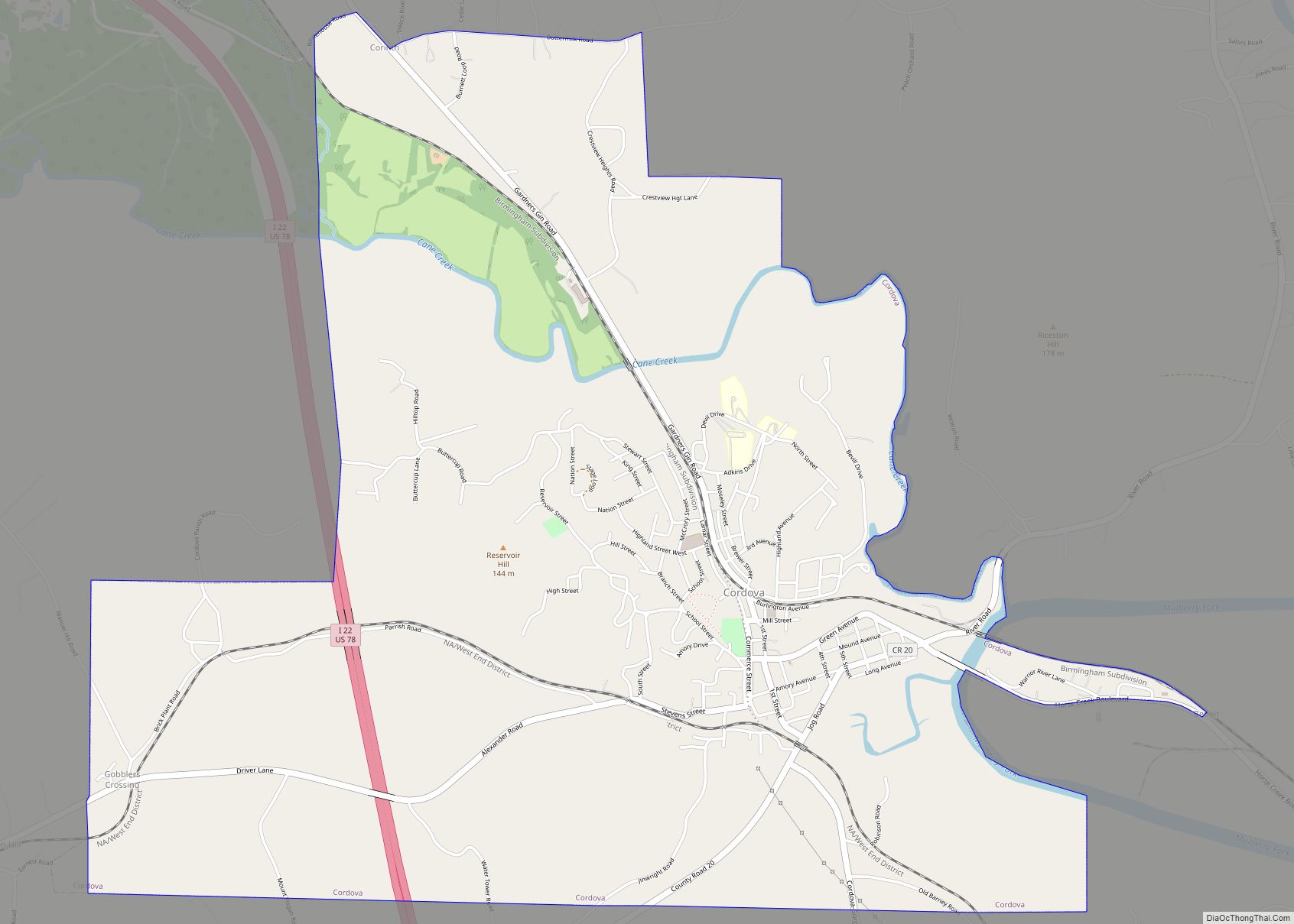
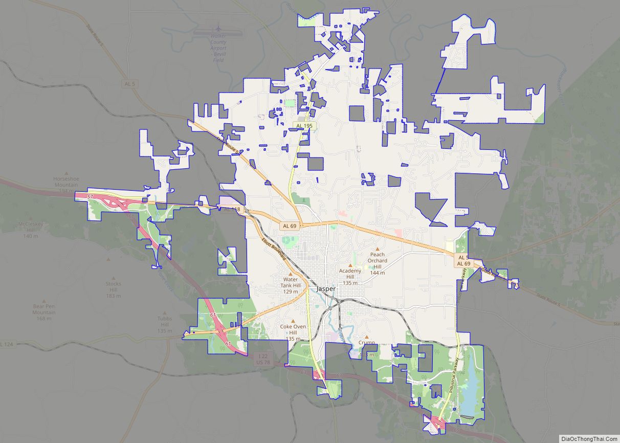
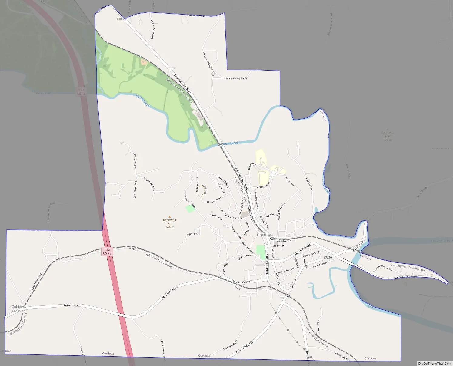
Cordova Road Map
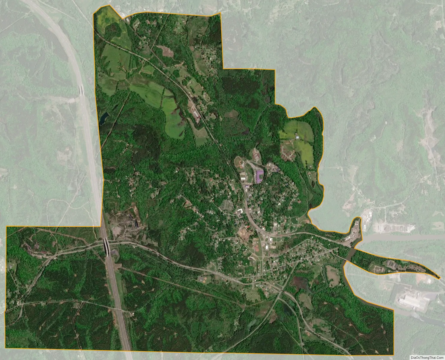
Cordova city Satellite Map
Geography
According to the U.S. Census Bureau, the city has a total area of 5.9 square miles (15 km), of which 5.9 square miles (15 km) is land and 0.1 square miles (0.26 km) (0.84%) is water. Cordova is located in the rolling foothills of the Appalachian Mountains, near the banks of the Mulberry Fork of the Warrior River.
Climate
The climate in this area is characterized by hot, humid summers and generally mild to cool winters. According to the Köppen Climate Classification system, Cordova has a humid subtropical climate, abbreviated “Cfa” on climate maps.
See also
Map of Alabama State and its subdivision:- Autauga
- Baldwin
- Barbour
- Bibb
- Blount
- Bullock
- Butler
- Calhoun
- Chambers
- Cherokee
- Chilton
- Choctaw
- Clarke
- Clay
- Cleburne
- Coffee
- Colbert
- Conecuh
- Coosa
- Covington
- Crenshaw
- Cullman
- Dale
- Dallas
- De Kalb
- Elmore
- Escambia
- Etowah
- Fayette
- Franklin
- Geneva
- Greene
- Hale
- Henry
- Houston
- Jackson
- Jefferson
- Lamar
- Lauderdale
- Lawrence
- Lee
- Limestone
- Lowndes
- Macon
- Madison
- Marengo
- Marion
- Marshall
- Mobile
- Monroe
- Montgomery
- Morgan
- Perry
- Pickens
- Pike
- Randolph
- Russell
- Saint Clair
- Shelby
- Sumter
- Talladega
- Tallapoosa
- Tuscaloosa
- Walker
- Washington
- Wilcox
- Winston
- Alabama
- Alaska
- Arizona
- Arkansas
- California
- Colorado
- Connecticut
- Delaware
- District of Columbia
- Florida
- Georgia
- Hawaii
- Idaho
- Illinois
- Indiana
- Iowa
- Kansas
- Kentucky
- Louisiana
- Maine
- Maryland
- Massachusetts
- Michigan
- Minnesota
- Mississippi
- Missouri
- Montana
- Nebraska
- Nevada
- New Hampshire
- New Jersey
- New Mexico
- New York
- North Carolina
- North Dakota
- Ohio
- Oklahoma
- Oregon
- Pennsylvania
- Rhode Island
- South Carolina
- South Dakota
- Tennessee
- Texas
- Utah
- Vermont
- Virginia
- Washington
- West Virginia
- Wisconsin
- Wyoming