Cuba is a town in Sumter County, Alabama, United States. At the 2010 census the population was 346, down from 363 in 2000.
| Name: | Cuba town |
|---|---|
| LSAD Code: | 43 |
| LSAD Description: | town (suffix) |
| State: | Alabama |
| County: | Sumter County |
| Elevation: | 223 ft (68 m) |
| Total Area: | 4.07 sq mi (10.54 km²) |
| Land Area: | 4.06 sq mi (10.52 km²) |
| Water Area: | 0.01 sq mi (0.02 km²) |
| Total Population: | 306 |
| Population Density: | 75.33/sq mi (29.08/km²) |
| ZIP code: | 36907 |
| Area code: | 205, 659 |
| FIPS code: | 0118952 |
| GNISfeature ID: | 0116945 |
Online Interactive Map
Click on ![]() to view map in "full screen" mode.
to view map in "full screen" mode.
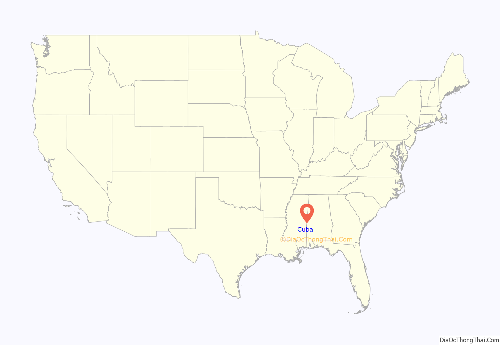
Cuba location map. Where is Cuba town?
History
The Cuba post office existed prior to 1850, with nothing in the present-day area of the town of Cuba but wilderness. The first people to live in this site were a slaveowner named Mr. R.A. Clay, who moved from Autauga County with his family and approximately 100 slaves in 1852, and purchased all the land which later made up the town of Cuba. By 1861, the town was a thriving farming industry and had a sizable truck-crop enterprise. Also during this time, the Southern Railroad was being built. Clay donated land for the railroad right-of-way, built mainly by the people he enslaved. As the town was settled, the post office became known as Cuba Station. The Town of Cuba was incorporated in 1890 with Dr. A.L. Vaughan as its first mayor.
In 1870, Mr. Clay sold to Mr. Warner Lewis half of the town and divided it into lots, with two set aside for the building of the Baptist and Methodist churches. Cuba Baptist Church was organized in 1879; the original building still stands on the spot where it was first built. The Methodist Church was organized about 1884. This church membership dissolved many years ago. The Holiness Church was organized about 1886, the Presbyterian Church about 1906, and the Independent Holiness Church about 1925.
Mrs. Curtis Vaughan was the first person to be buried in Cuba, in 1888. Mr. R.A. Clay, the morning after her death, donated the land for the Cuba Cemetery, which later became Clay Memorial Cemetery in his honor.
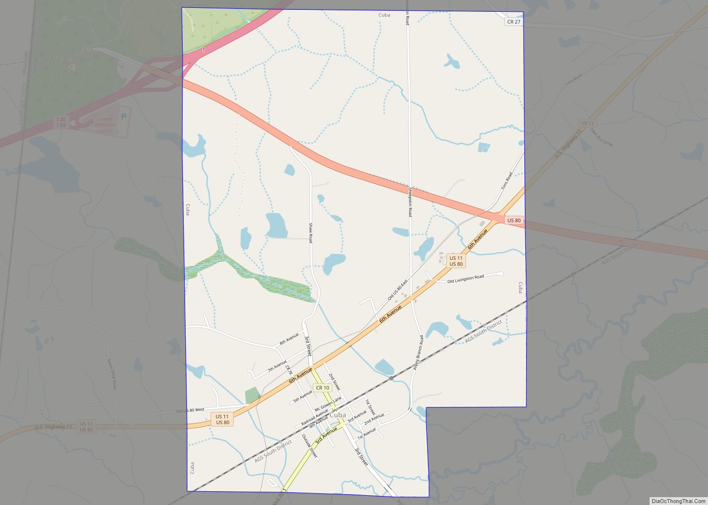
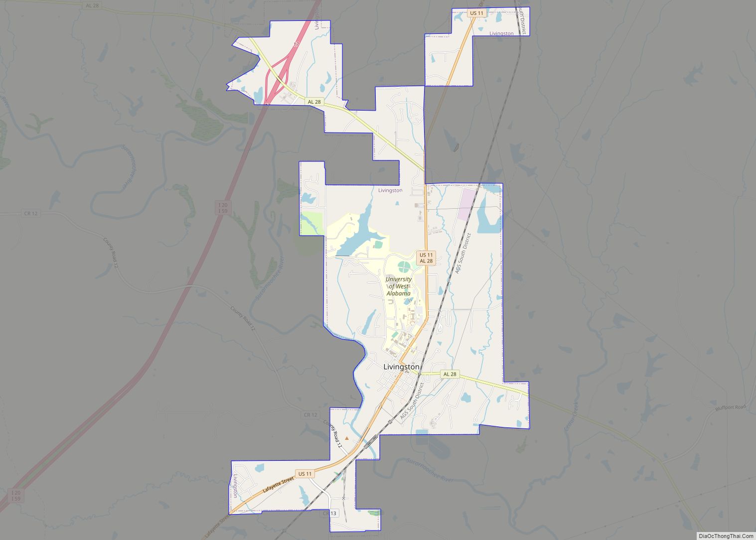
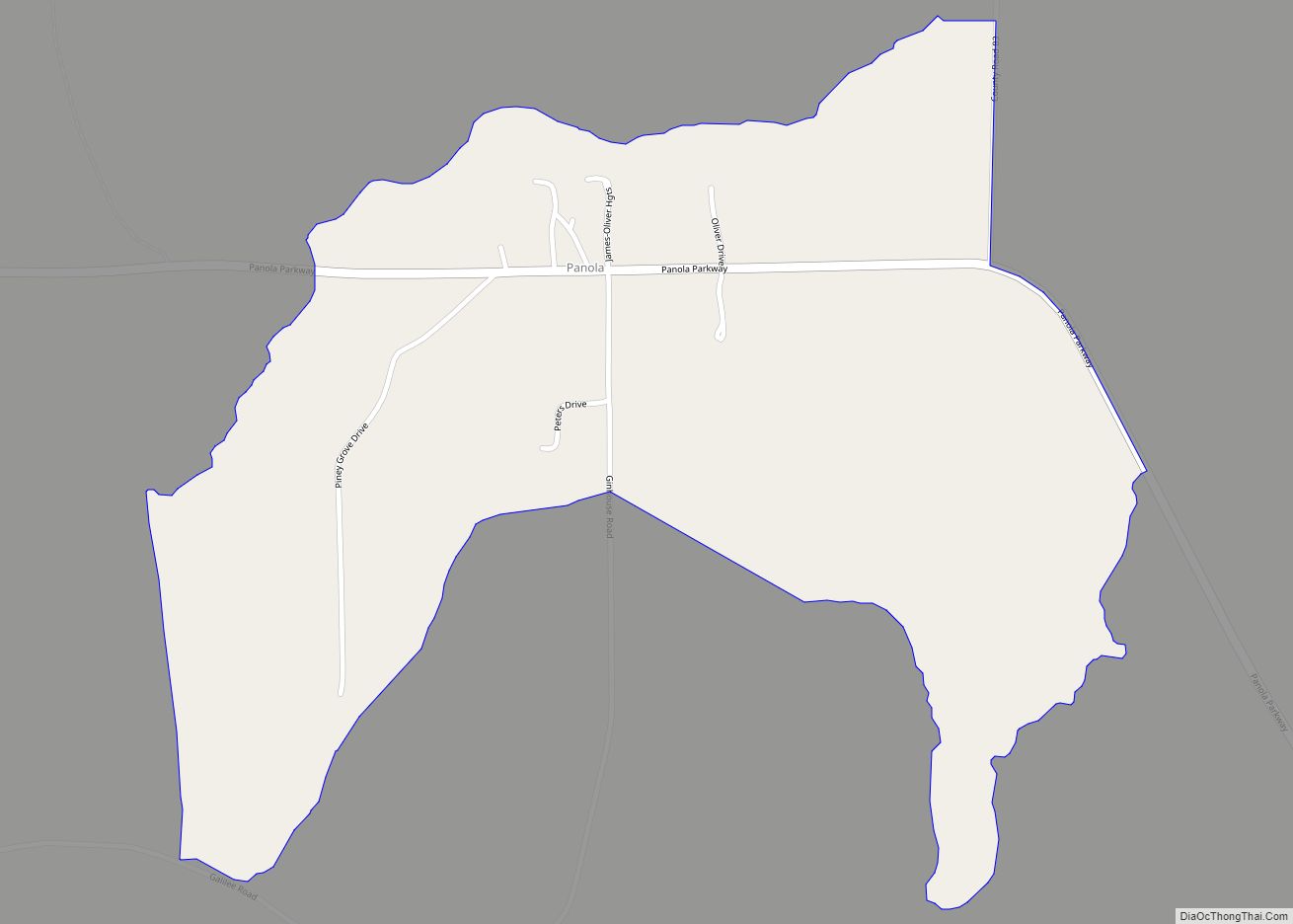
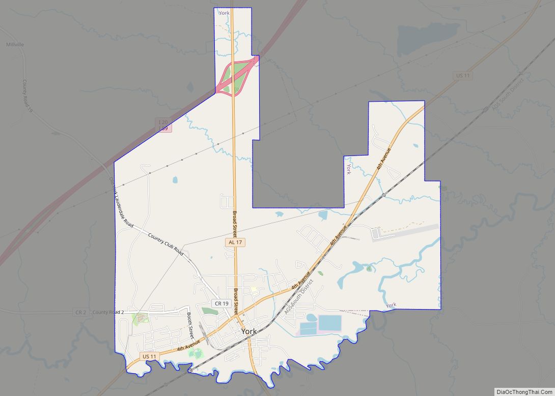
Cuba Road Map
Cuba city Satellite Map
Geography
Cuba is located at 32°26′2″N 88°22′18″W / 32.43389°N 88.37167°W / 32.43389; -88.37167 (32.433782, -88.371776).
According to the U.S. Census Bureau, the town has a total area of 4.1 square miles (11 km), of which 4.1 square miles (11 km) is land and 0.25% is water.
See also
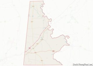
Map of Alabama State and its subdivision:- Autauga
- Baldwin
- Barbour
- Bibb
- Blount
- Bullock
- Butler
- Calhoun
- Chambers
- Cherokee
- Chilton
- Choctaw
- Clarke
- Clay
- Cleburne
- Coffee
- Colbert
- Conecuh
- Coosa
- Covington
- Crenshaw
- Cullman
- Dale
- Dallas
- De Kalb
- Elmore
- Escambia
- Etowah
- Fayette
- Franklin
- Geneva
- Greene
- Hale
- Henry
- Houston
- Jackson
- Jefferson
- Lamar
- Lauderdale
- Lawrence
- Lee
- Limestone
- Lowndes
- Macon
- Madison
- Marengo
- Marion
- Marshall
- Mobile
- Monroe
- Montgomery
- Morgan
- Perry
- Pickens
- Pike
- Randolph
- Russell
- Saint Clair
- Shelby
- Sumter
- Talladega
- Tallapoosa
- Tuscaloosa
- Walker
- Washington
- Wilcox
- Winston
- Alabama
- Alaska
- Arizona
- Arkansas
- California
- Colorado
- Connecticut
- Delaware
- District of Columbia
- Florida
- Georgia
- Hawaii
- Idaho
- Illinois
- Indiana
- Iowa
- Kansas
- Kentucky
- Louisiana
- Maine
- Maryland
- Massachusetts
- Michigan
- Minnesota
- Mississippi
- Missouri
- Montana
- Nebraska
- Nevada
- New Hampshire
- New Jersey
- New Mexico
- New York
- North Carolina
- North Dakota
- Ohio
- Oklahoma
- Oregon
- Pennsylvania
- Rhode Island
- South Carolina
- South Dakota
- Tennessee
- Texas
- Utah
- Vermont
- Virginia
- Washington
- West Virginia
- Wisconsin
- Wyoming
