Livingston is a city in and the county seat of Sumter County, Alabama, United States and the home of the University of West Alabama. By an act of the state legislature, it was incorporated on January 10, 1835. At the 2010 census the population was 3,485, up from 3,297 in 2000. It was named in honor of Edward Livingston, of the Livingston family of New York.
| Name: | Livingston city |
|---|---|
| LSAD Code: | 25 |
| LSAD Description: | city (suffix) |
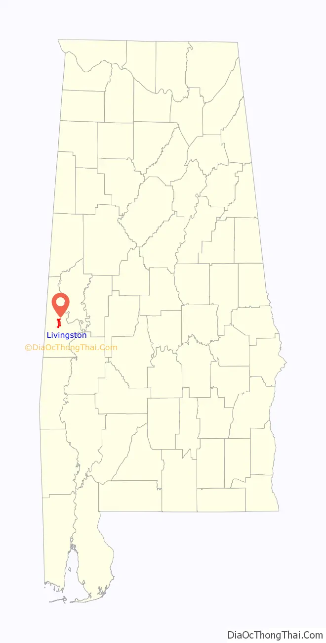
| State: | Alabama |
| County: | Sumter County |
| Elevation: | 154 ft (47 m) |
| Total Area: | 7.21 sq mi (18.68 km²) |
| Land Area: | 7.13 sq mi (18.47 km²) |
| Water Area: | 0.08 sq mi (0.22 km²) |
| Total Population: | 3,436 |
| Population Density: | 481.91/sq mi (186.07/km²) |
| ZIP code: | 35470 |
| Area code: | 205, 659 |
| FIPS code: | 0143720 |
| GNISfeature ID: | 0152129 |
| Website: | https://www.cityoflivingstonal.com/ |
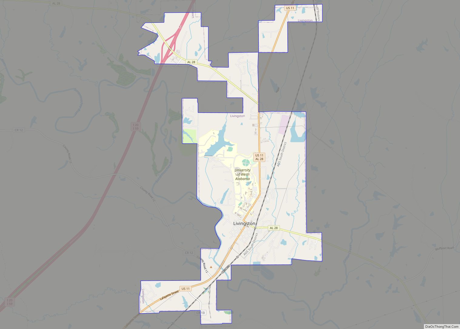
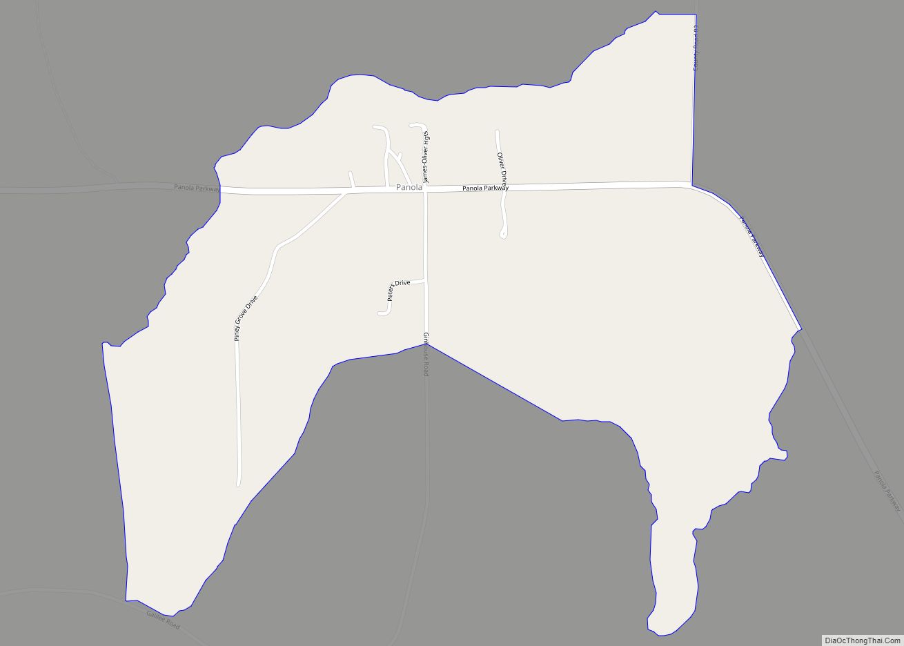
Online Interactive Map
Click on ![]() to view map in "full screen" mode.
to view map in "full screen" mode.
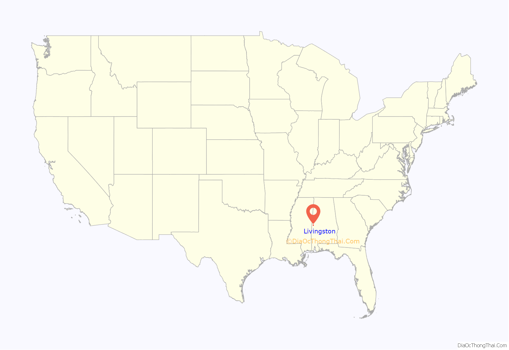
Livingston location map. Where is Livingston city?
History
The area now known as Livingston was part of the traditional territory of the nation of Choctaw Indians until the Treaty of Dancing Rabbit Creek in 1830. The federal government removed most of the Choctaw to Indian Territory in present-day Oklahoma. At that time, settlers from the Carolinas, Georgia, Tennessee, and Virginia established the first European-American community about two blocks from the current Courthouse Square, near the corner of Madison and Spring Streets.
In 1833, a commission was formed to organize Sumter County. Livingston was named after a well-known statesman and jurist of the day, Edward Livingston. Livingston was chosen as the county seat. Soon followed the first newspaper, The Voice of Sumter; four schools (including Livingston Female Academy, now The University of West Alabama), the courthouse, and the Bored Well.
The first courthouse was built of logs. It was replaced by a frame courthouse in 1839, which burned in 1901. The Probate Judge’s office, built at the same time, survived the fire. It now houses the county commission office.
In the latter part of the nineteenth century, Livingston became widely known as a health spa because of the water from its Bored Well, one of many that made extensive settlement possible in the Black Belt. This well was bored by an old blind mule which pulled an auger around until an artesian aquifer was reached in 1857. Promoters built a Chinese-styled pagoda over the well. In 1924 the pagoda was replaced by the predecessor to the present pavilion.
During the early part of the twentieth century, Livingston continued to be known as a health resort. It was also the site of the Alabama Normal School, which developed from the Livingston Female Academy and was established to train teachers for the public school system founded during the Reconstruction era. Reflecting its expanding programs and level of curriculum, the name of the college was later changed to the State Teachers College, then to Livingston State College, Livingston University and finally to The University of West Alabama.
Livingston continued as the sleepy county seat of a mainly rural county, with a declining population. In the early 1960s, citizens made an effort to revitalize the town, building on their historic heritage and main street. The results were a near doubling in population in ten years, and corresponding increase in industry and businesses. In 1972 Livingston was named a finalist in the “All American Cities Competition”, sponsored by The Saturday Evening Post.
Historic sites
Livingston has a number of historic sites and properties. Lakewood (1840) is a historic antebellum mansion occupied by Julia Tutwiler while she was president of Livingston Normal College. The Sumter County Courthouse (1902) is listed on the National Register of Historic Places. Additionally, the Branch-Stuart Home (1903), Inge-Moon House (1834), St. James Episcopal Church (1840), and Voss-Pate House (1850) are all listed on the Alabama Register of Landmarks and Heritage.
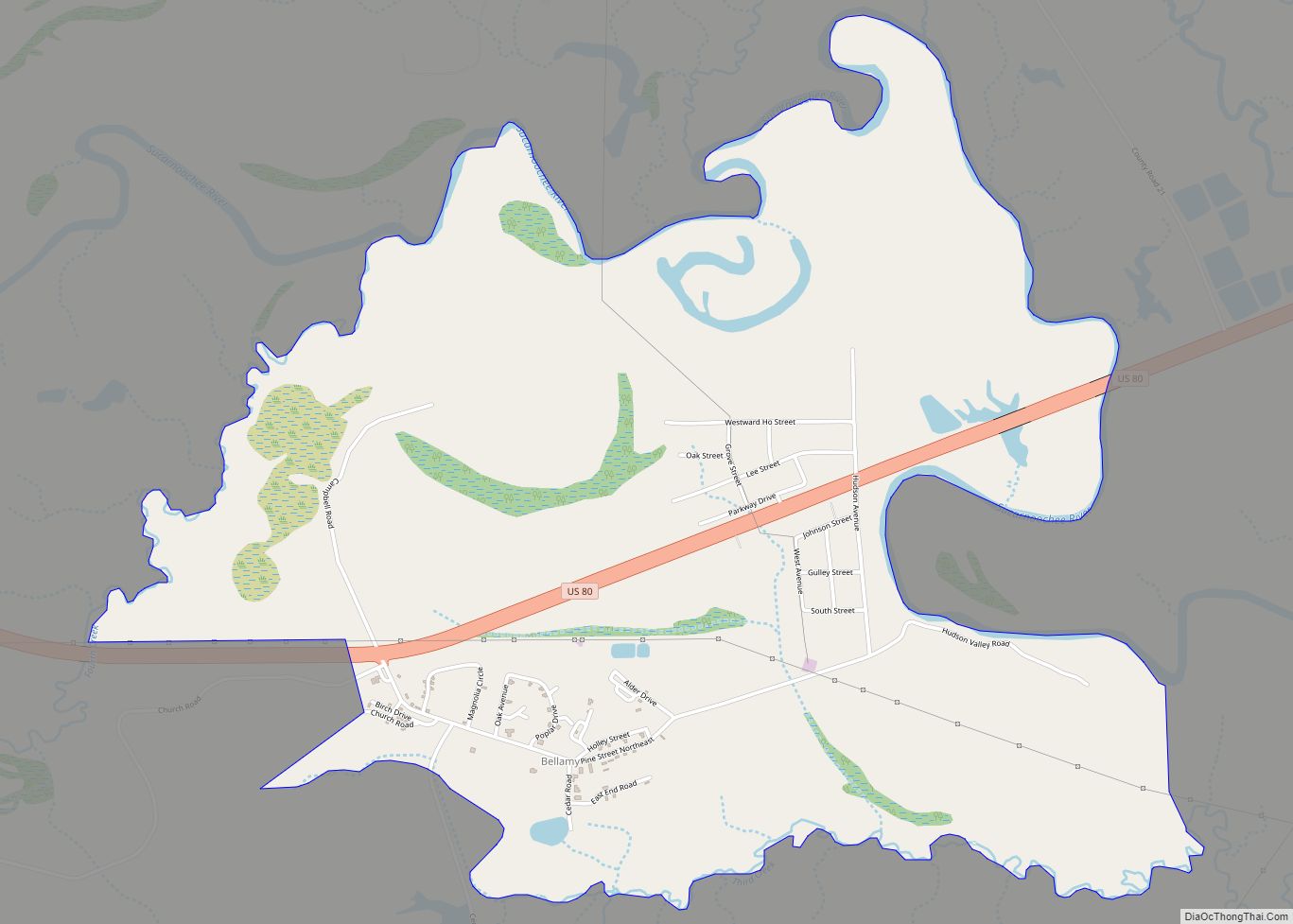
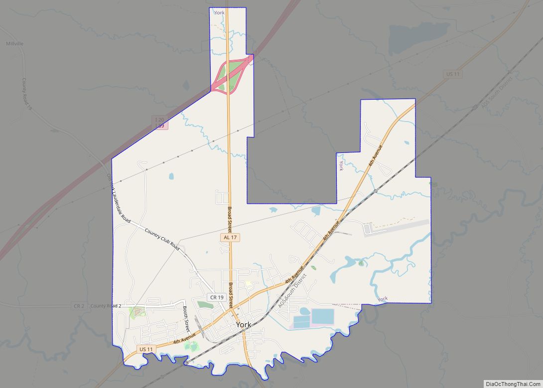
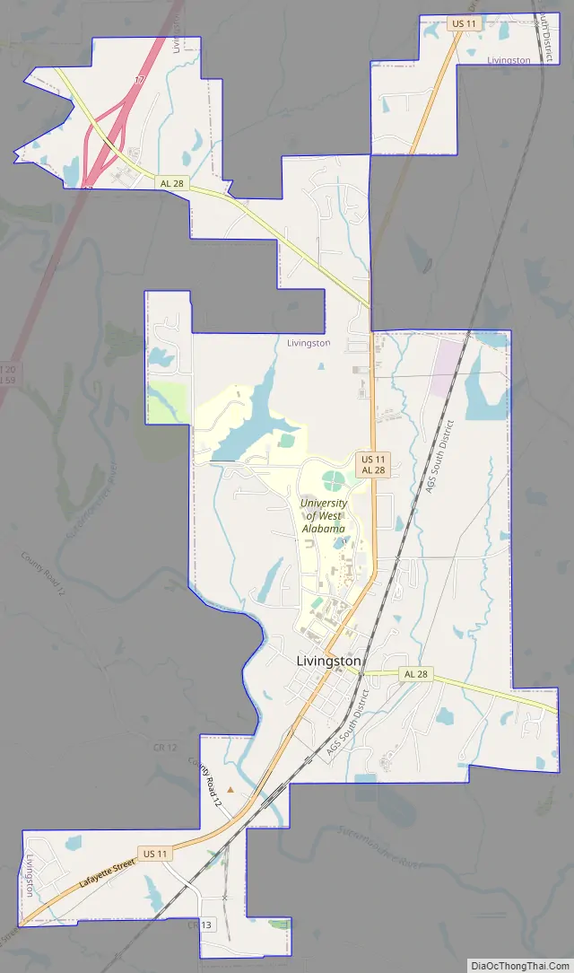
Livingston Road Map
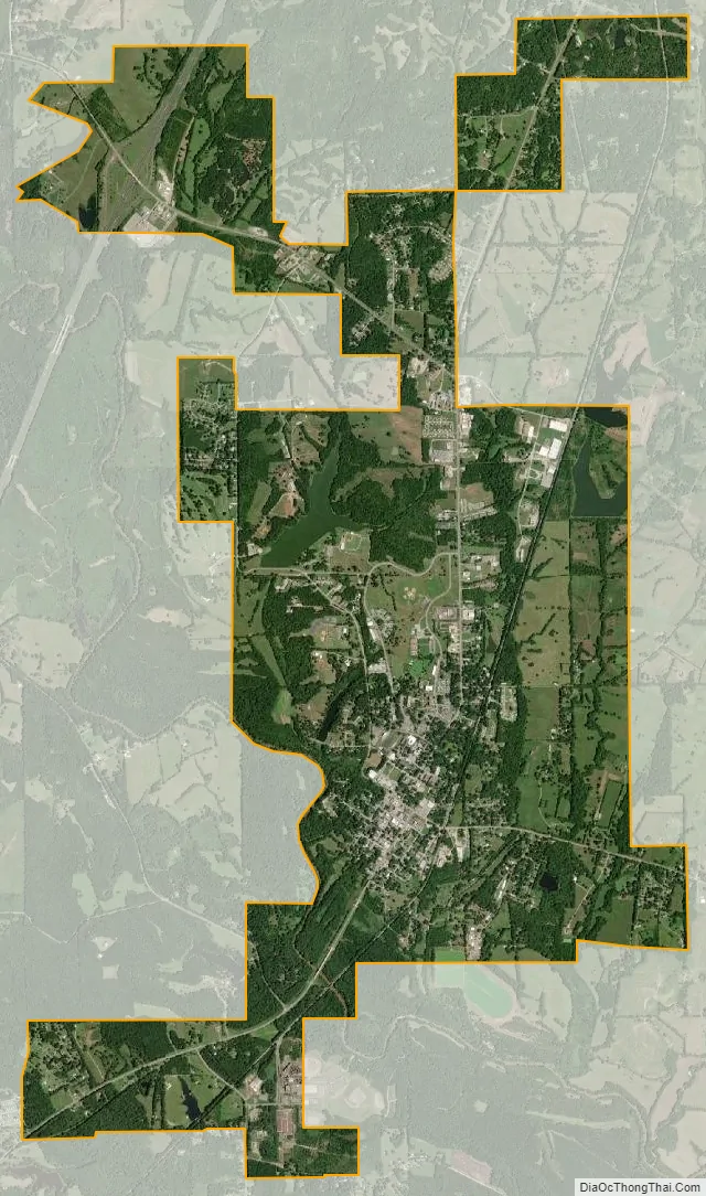
Livingston city Satellite Map
Geography
Livingston is located at 32°35′14″N 88°11′17″W / 32.58722°N 88.18806°W / 32.58722; -88.18806 (32.587332, -88.188161).
According to the U.S. Census Bureau, the city has a total area of 7.2 square miles (19 km), of which 7.1 square miles (18 km) is land and 0.1 square miles (0.26 km) (1.11%) is water.
Climate
See also
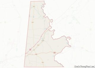
Map of Alabama State and its subdivision:- Autauga
- Baldwin
- Barbour
- Bibb
- Blount
- Bullock
- Butler
- Calhoun
- Chambers
- Cherokee
- Chilton
- Choctaw
- Clarke
- Clay
- Cleburne
- Coffee
- Colbert
- Conecuh
- Coosa
- Covington
- Crenshaw
- Cullman
- Dale
- Dallas
- De Kalb
- Elmore
- Escambia
- Etowah
- Fayette
- Franklin
- Geneva
- Greene
- Hale
- Henry
- Houston
- Jackson
- Jefferson
- Lamar
- Lauderdale
- Lawrence
- Lee
- Limestone
- Lowndes
- Macon
- Madison
- Marengo
- Marion
- Marshall
- Mobile
- Monroe
- Montgomery
- Morgan
- Perry
- Pickens
- Pike
- Randolph
- Russell
- Saint Clair
- Shelby
- Sumter
- Talladega
- Tallapoosa
- Tuscaloosa
- Walker
- Washington
- Wilcox
- Winston
- Alabama
- Alaska
- Arizona
- Arkansas
- California
- Colorado
- Connecticut
- Delaware
- District of Columbia
- Florida
- Georgia
- Hawaii
- Idaho
- Illinois
- Indiana
- Iowa
- Kansas
- Kentucky
- Louisiana
- Maine
- Maryland
- Massachusetts
- Michigan
- Minnesota
- Mississippi
- Missouri
- Montana
- Nebraska
- Nevada
- New Hampshire
- New Jersey
- New Mexico
- New York
- North Carolina
- North Dakota
- Ohio
- Oklahoma
- Oregon
- Pennsylvania
- Rhode Island
- South Carolina
- South Dakota
- Tennessee
- Texas
- Utah
- Vermont
- Virginia
- Washington
- West Virginia
- Wisconsin
- Wyoming