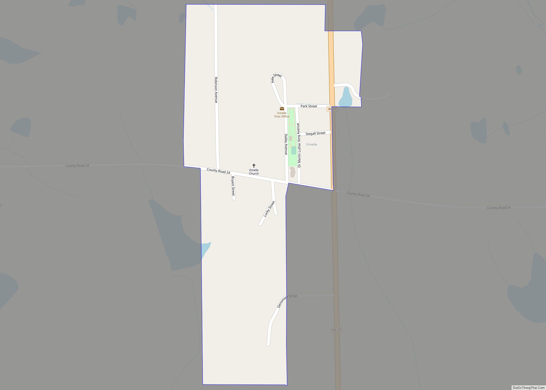
Emelle is a town in Sumter County, Alabama, United States. It was named after the daughters of the man who donated the land for the town. The town was started in the 19th century but not incorporated until 1981. The daughters of the man who donated were named Emma Dial and Ella Dial, so he combined the two names to create Emelle. Emelle was famous for its great cotton. The first mayor of Emelle was James Dailey. He served two terms. The current mayor is Roy Willingham Sr. The population was 32 at the 2020 census.
The town is known for being the site of the largest hazardous waste landfill in the United States, operated by Waste Management, Inc. That hazardous waste disposal facility was the subject of a case decided by the United States Supreme Court, Chemical Waste Management, Inc. v. Hunt, 504 U.S. 334 (1992).
The community was heavily damaged by an EF2 tornado on January 12, 2023.
| Name: | Emelle town |
|---|---|
| LSAD Code: | 43 |
| LSAD Description: | town (suffix) |
| State: | Alabama |
| County: | Sumter County |
| Elevation: | 259 ft (79 m) |
| Total Area: | 0.21 sq mi (0.55 km²) |
| Land Area: | 0.21 sq mi (0.55 km²) |
| Water Area: | 0.00 sq mi (0.00 km²) |
| Total Population: | 32 |
| Population Density: | 151.66/sq mi (58.60/km²) |
| ZIP code: | 35459 |
| Area code: | 205, 659 |
| FIPS code: | 0123872 |
| GNISfeature ID: | 0155060 |
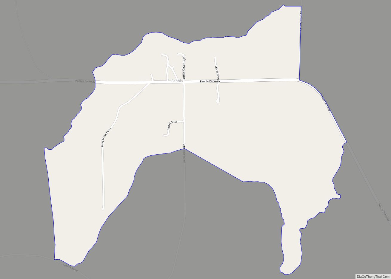
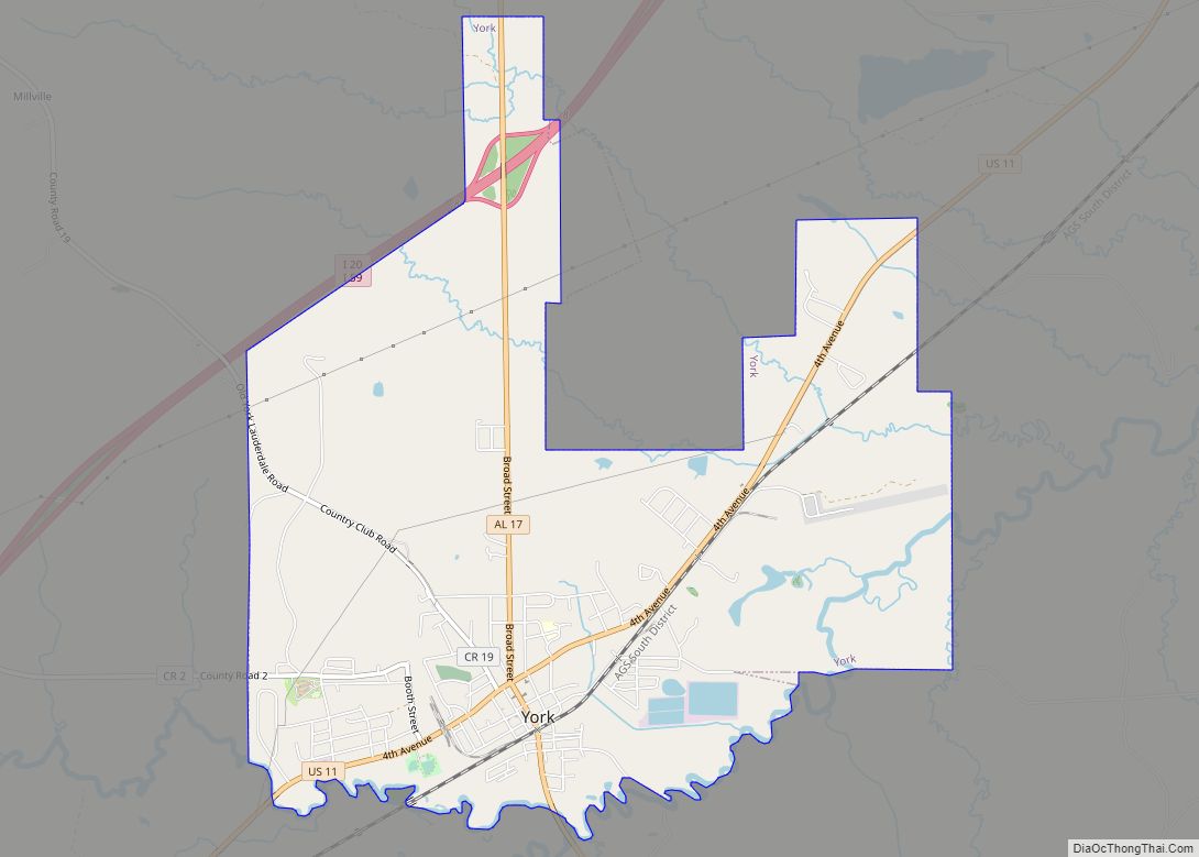
Online Interactive Map
Click on ![]() to view map in "full screen" mode.
to view map in "full screen" mode.
Emelle location map. Where is Emelle town?
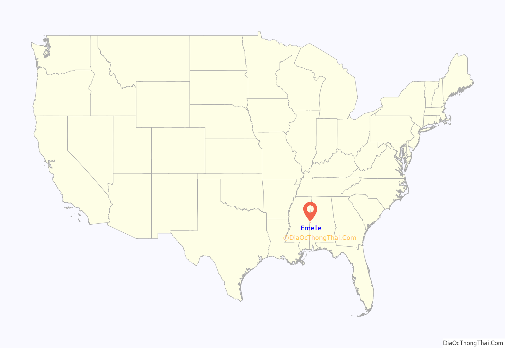
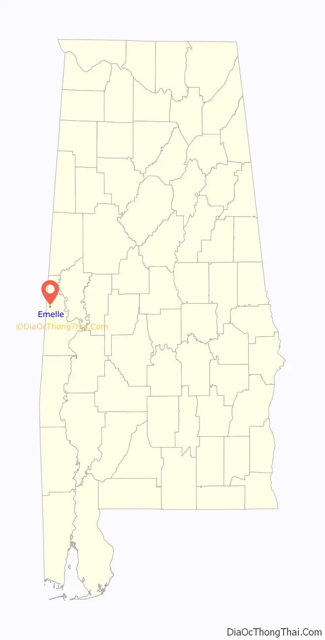
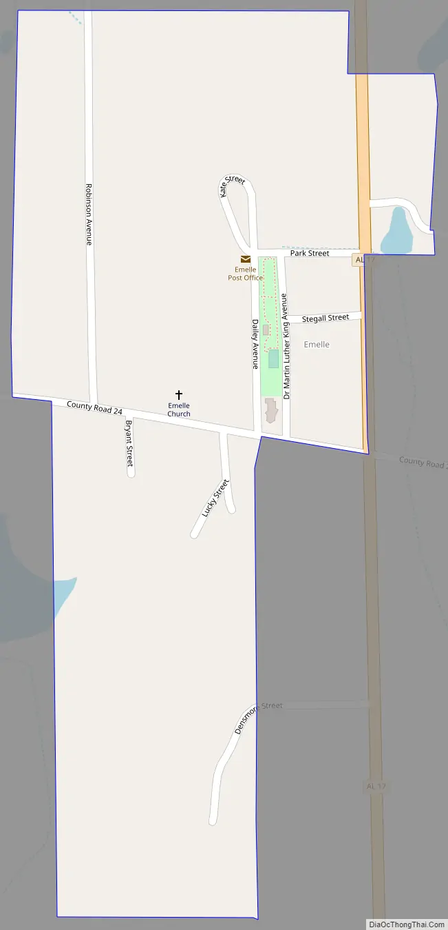
Emelle Road Map
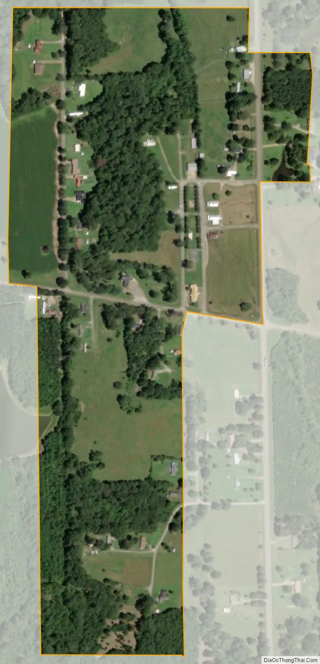
Emelle city Satellite Map
Geography
Emelle is located at 32°43′48″N 88°18′52″W / 32.729882°N 88.314333°W / 32.729882; -88.314333.
According to the U.S. Census Bureau, the town has a total area of 0.2 square miles (0.52 km), all land.
See also
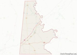
Map of Alabama State and its subdivision:- Autauga
- Baldwin
- Barbour
- Bibb
- Blount
- Bullock
- Butler
- Calhoun
- Chambers
- Cherokee
- Chilton
- Choctaw
- Clarke
- Clay
- Cleburne
- Coffee
- Colbert
- Conecuh
- Coosa
- Covington
- Crenshaw
- Cullman
- Dale
- Dallas
- De Kalb
- Elmore
- Escambia
- Etowah
- Fayette
- Franklin
- Geneva
- Greene
- Hale
- Henry
- Houston
- Jackson
- Jefferson
- Lamar
- Lauderdale
- Lawrence
- Lee
- Limestone
- Lowndes
- Macon
- Madison
- Marengo
- Marion
- Marshall
- Mobile
- Monroe
- Montgomery
- Morgan
- Perry
- Pickens
- Pike
- Randolph
- Russell
- Saint Clair
- Shelby
- Sumter
- Talladega
- Tallapoosa
- Tuscaloosa
- Walker
- Washington
- Wilcox
- Winston
- Alabama
- Alaska
- Arizona
- Arkansas
- California
- Colorado
- Connecticut
- Delaware
- District of Columbia
- Florida
- Georgia
- Hawaii
- Idaho
- Illinois
- Indiana
- Iowa
- Kansas
- Kentucky
- Louisiana
- Maine
- Maryland
- Massachusetts
- Michigan
- Minnesota
- Mississippi
- Missouri
- Montana
- Nebraska
- Nevada
- New Hampshire
- New Jersey
- New Mexico
- New York
- North Carolina
- North Dakota
- Ohio
- Oklahoma
- Oregon
- Pennsylvania
- Rhode Island
- South Carolina
- South Dakota
- Tennessee
- Texas
- Utah
- Vermont
- Virginia
- Washington
- West Virginia
- Wisconsin
- Wyoming