Evergreen is a city in Conecuh County, Alabama, United States. As of the 2010 census the population was 3,944. The city is the county seat of Conecuh County.
| Name: | Evergreen city |
|---|---|
| LSAD Code: | 25 |
| LSAD Description: | city (suffix) |
| State: | Alabama |
| County: | Conecuh County |
| Incorporated: | March 28, 1873 |
| Elevation: | 272 ft (83 m) |
| Total Area: | 20.01 sq mi (51.83 km²) |
| Land Area: | 19.75 sq mi (51.14 km²) |
| Water Area: | 0.27 sq mi (0.69 km²) |
| Total Population: | 3,520 |
| Population Density: | 178.25/sq mi (68.83/km²) |
| ZIP code: | 36401 |
| Area code: | 251 |
| FIPS code: | 0124808 |
| GNISfeature ID: | 0118078 |
| Website: | www.evergreenal.org |
Online Interactive Map
Click on ![]() to view map in "full screen" mode.
to view map in "full screen" mode.
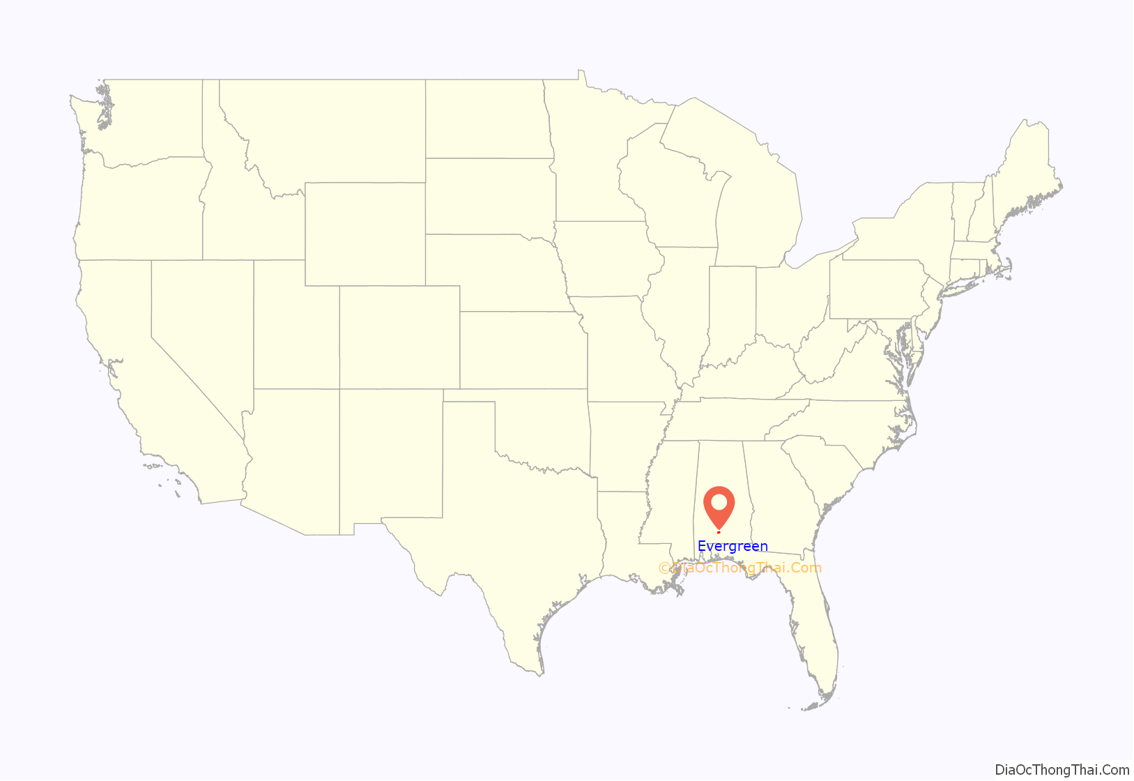
Evergreen location map. Where is Evergreen city?
History
Early settlers to the area came from Georgia and South Carolina beginning in 1818. Evergreen was founded officially in 1819 when Revolutionary War veteran James Cosey and several other men settled within the present limits of the city. The Reverend Alexander Travis first called the town by its present name of Evergreen for the abundance of surrounding green foliage, plants, and ferns.
The former county seat of Sparta was burned in a federal raid during the Civil War. In 1866, the county seat was moved to Evergreen as it was more centrally located in the county. Evergreen was incorporated as a city on March 28, 1873.
In 1882, a tornado hit the city, destroying every building except for the Episcopal church. On November 7, 1895, fire destroyed every business and house located on the east side of the railroad. Five days later, fire destroyed every business and house on the west side. The Conecuh County Courthouse burned in 1868, 1875, 1885, and 1895.
The first female pilot in the U. S. Navy, Barbara Allen Rainey, crashed and died in 1982 near Evergreen.
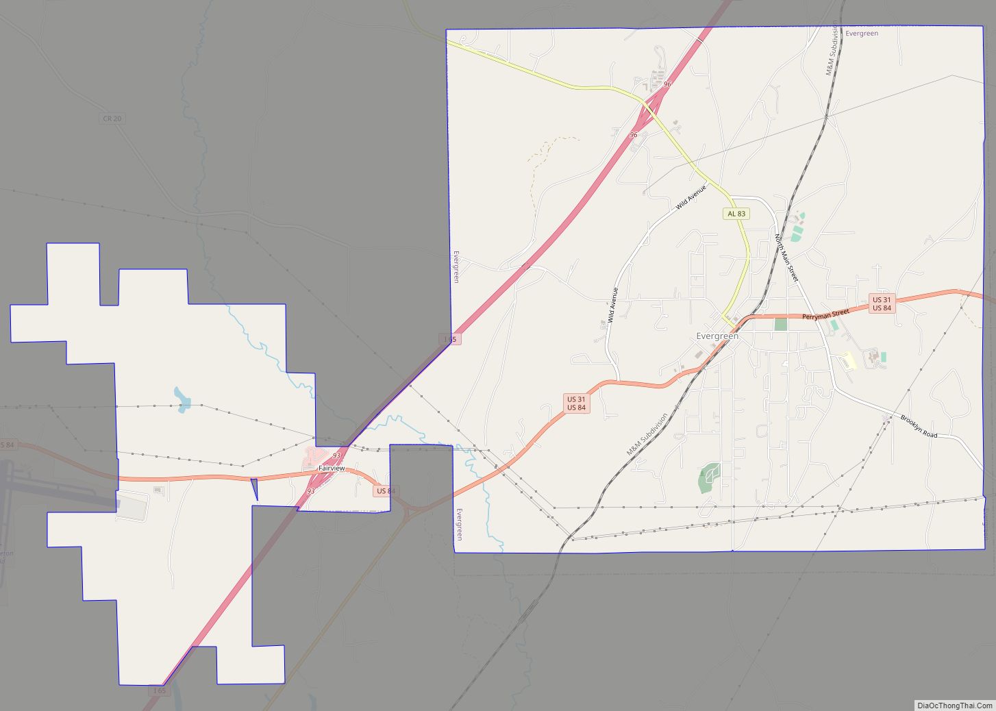
Evergreen Road Map
Evergreen city Satellite Map
Geography
Evergreen is located near the center of Conecuh County at 31°26′6″N 86°57′18″W / 31.43500°N 86.95500°W / 31.43500; -86.95500 (31.435025, -86.954905). Interstate 65 passes through the northwest side of the town, leading northeast 75 miles (121 km) to Montgomery and southwest 90 miles (140 km) to Mobile.
According to the U.S. Census Bureau, the city has a total area of 15.8 square miles (40.9 km), of which 15.6 square miles (40.4 km) is land and 0.19 square miles (0.5 km), or 1.12%, is water.
Climate
See also
Map of Alabama State and its subdivision:- Autauga
- Baldwin
- Barbour
- Bibb
- Blount
- Bullock
- Butler
- Calhoun
- Chambers
- Cherokee
- Chilton
- Choctaw
- Clarke
- Clay
- Cleburne
- Coffee
- Colbert
- Conecuh
- Coosa
- Covington
- Crenshaw
- Cullman
- Dale
- Dallas
- De Kalb
- Elmore
- Escambia
- Etowah
- Fayette
- Franklin
- Geneva
- Greene
- Hale
- Henry
- Houston
- Jackson
- Jefferson
- Lamar
- Lauderdale
- Lawrence
- Lee
- Limestone
- Lowndes
- Macon
- Madison
- Marengo
- Marion
- Marshall
- Mobile
- Monroe
- Montgomery
- Morgan
- Perry
- Pickens
- Pike
- Randolph
- Russell
- Saint Clair
- Shelby
- Sumter
- Talladega
- Tallapoosa
- Tuscaloosa
- Walker
- Washington
- Wilcox
- Winston
- Alabama
- Alaska
- Arizona
- Arkansas
- California
- Colorado
- Connecticut
- Delaware
- District of Columbia
- Florida
- Georgia
- Hawaii
- Idaho
- Illinois
- Indiana
- Iowa
- Kansas
- Kentucky
- Louisiana
- Maine
- Maryland
- Massachusetts
- Michigan
- Minnesota
- Mississippi
- Missouri
- Montana
- Nebraska
- Nevada
- New Hampshire
- New Jersey
- New Mexico
- New York
- North Carolina
- North Dakota
- Ohio
- Oklahoma
- Oregon
- Pennsylvania
- Rhode Island
- South Carolina
- South Dakota
- Tennessee
- Texas
- Utah
- Vermont
- Virginia
- Washington
- West Virginia
- Wisconsin
- Wyoming
