Excel is a town in Monroe County, Alabama, United States. At the 2020 census, the population was 557. The current mayor is Jenny Countryman.
Excel is the birthplace of former University of Alabama and Dallas Cowboys linebacker Lee Roy Jordan. Excel High School (3A) provides education for children in and around the town of Excel. Businesses within the town include Dollar General, post office, a “do-it-yourself” car wash, a laundromat, hardware store, a locally-run diner and one bank.
Excel incorporated in February 1948.
| Name: | Excel town |
|---|---|
| LSAD Code: | 43 |
| LSAD Description: | town (suffix) |
| State: | Alabama |
| County: | Monroe County |
| Elevation: | 407 ft (124 m) |
| Total Area: | 1.65 sq mi (4.27 km²) |
| Land Area: | 1.65 sq mi (4.26 km²) |
| Water Area: | 0.00 sq mi (0.00 km²) |
| Total Population: | 557 |
| Population Density: | 338.19/sq mi (130.61/km²) |
| ZIP code: | 36439 |
| Area code: | 251 |
| FIPS code: | 0124880 |
| GNISfeature ID: | 0151765 |
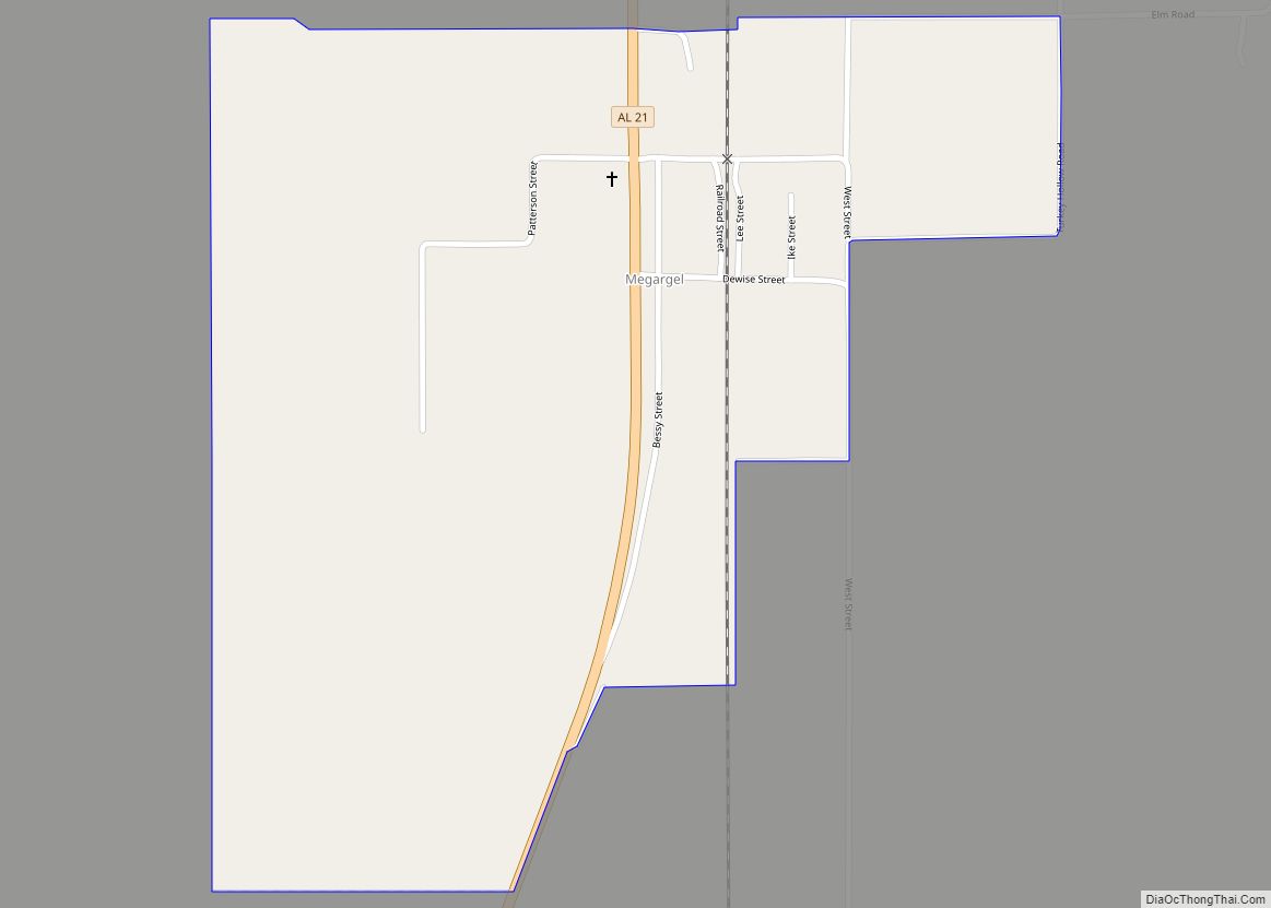
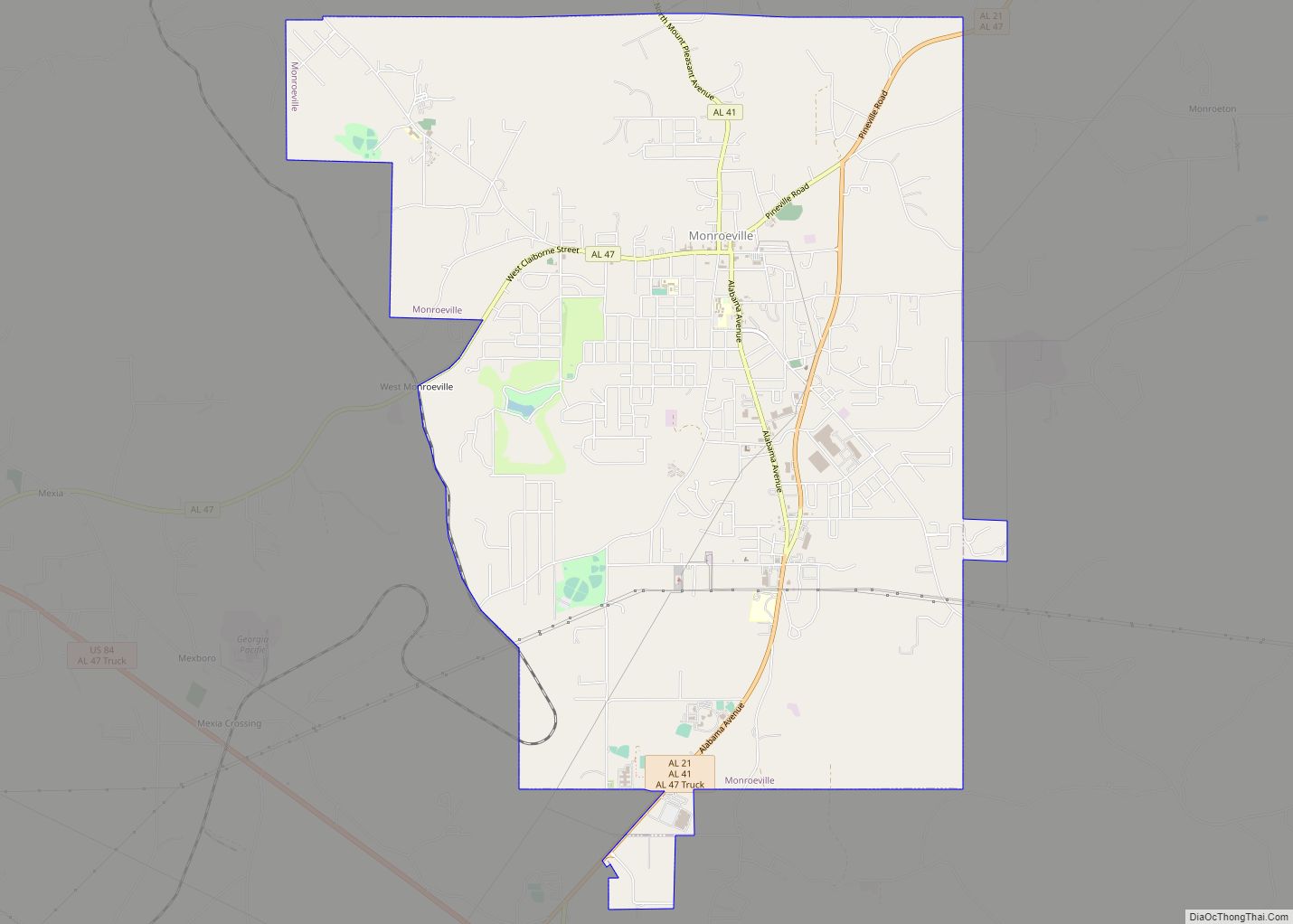
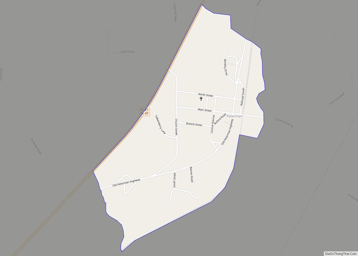
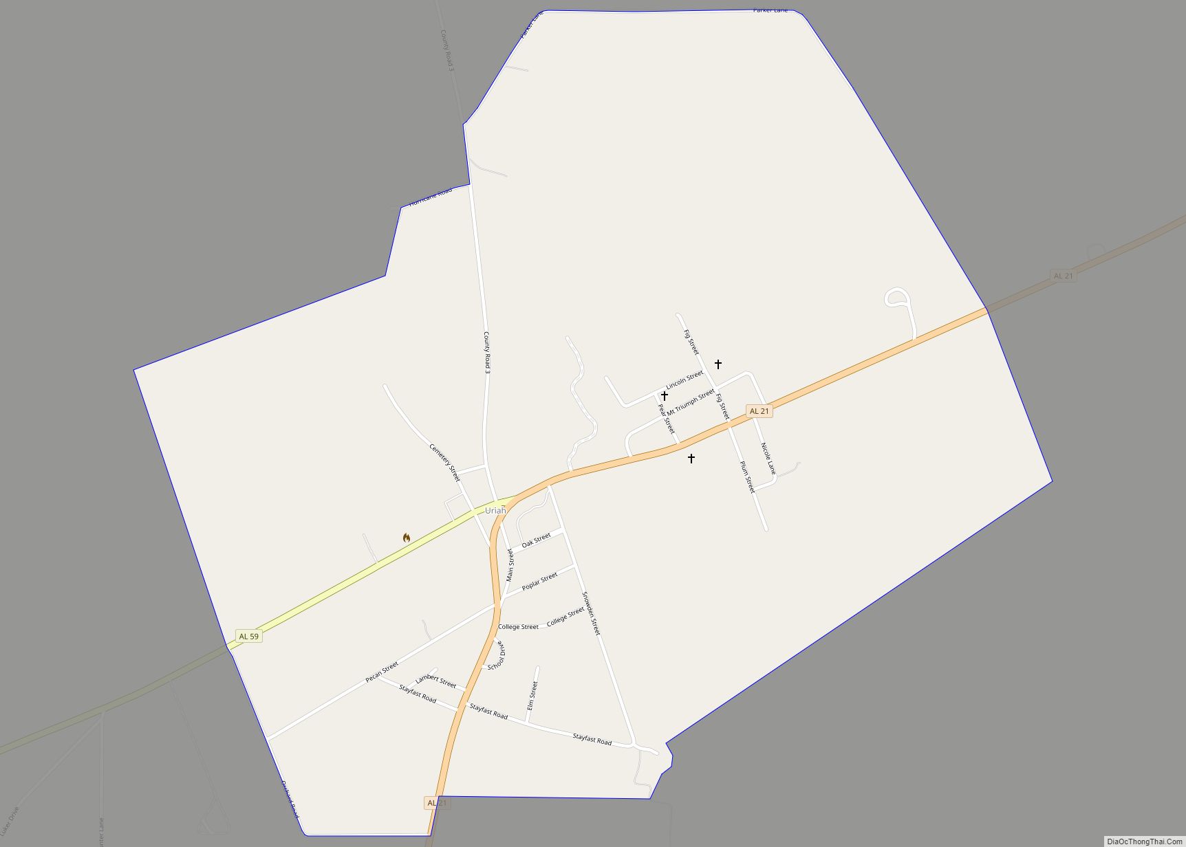
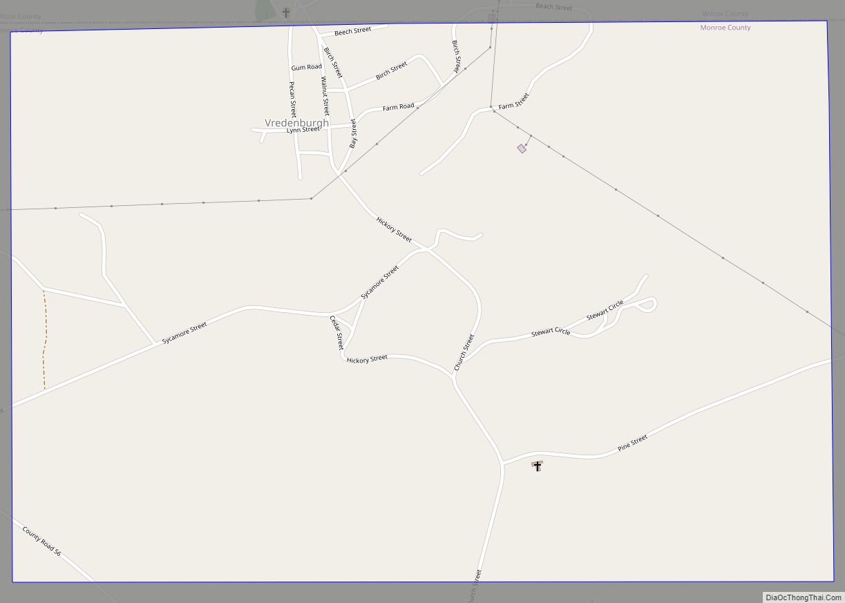
Online Interactive Map
Click on ![]() to view map in "full screen" mode.
to view map in "full screen" mode.
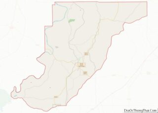
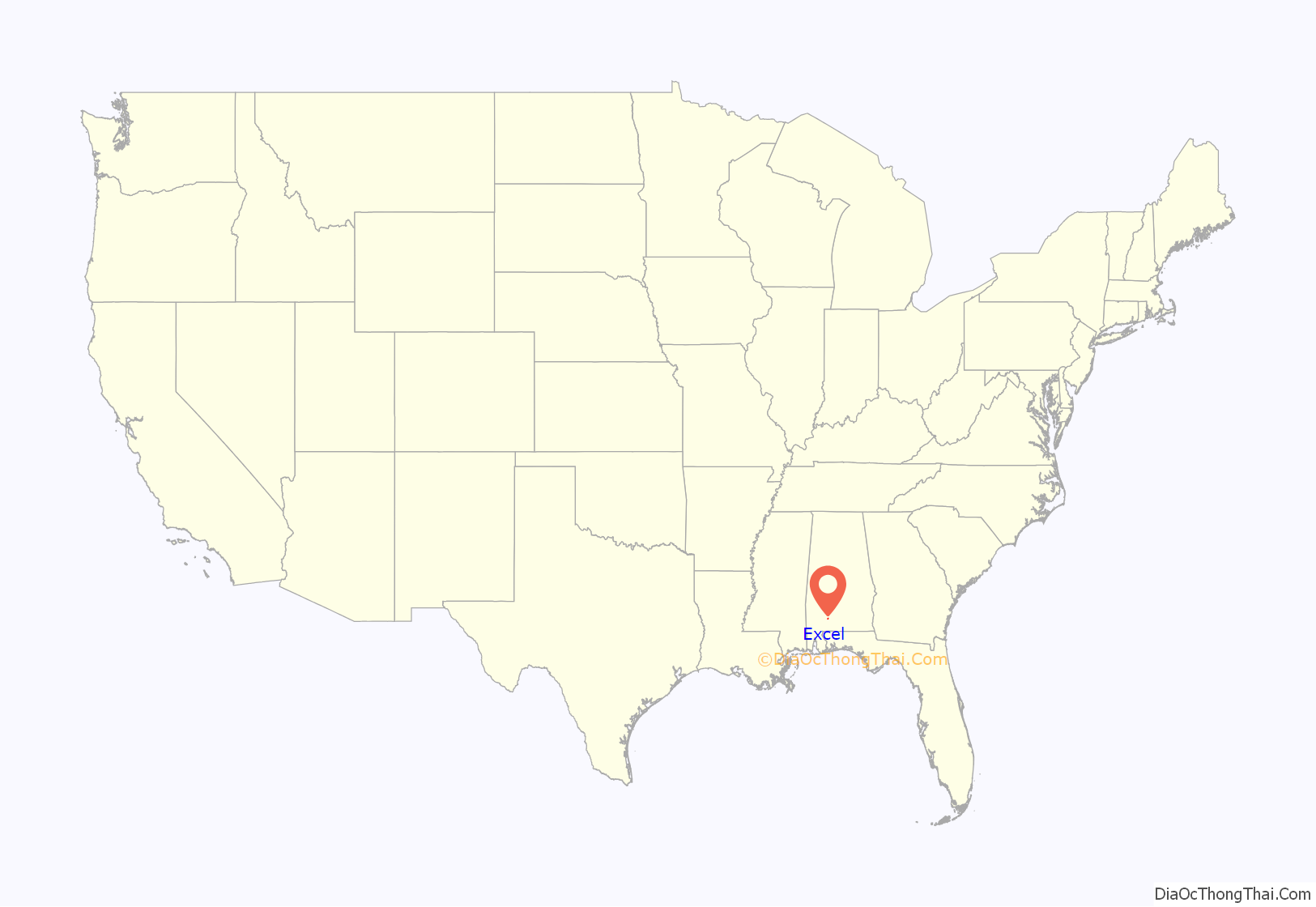
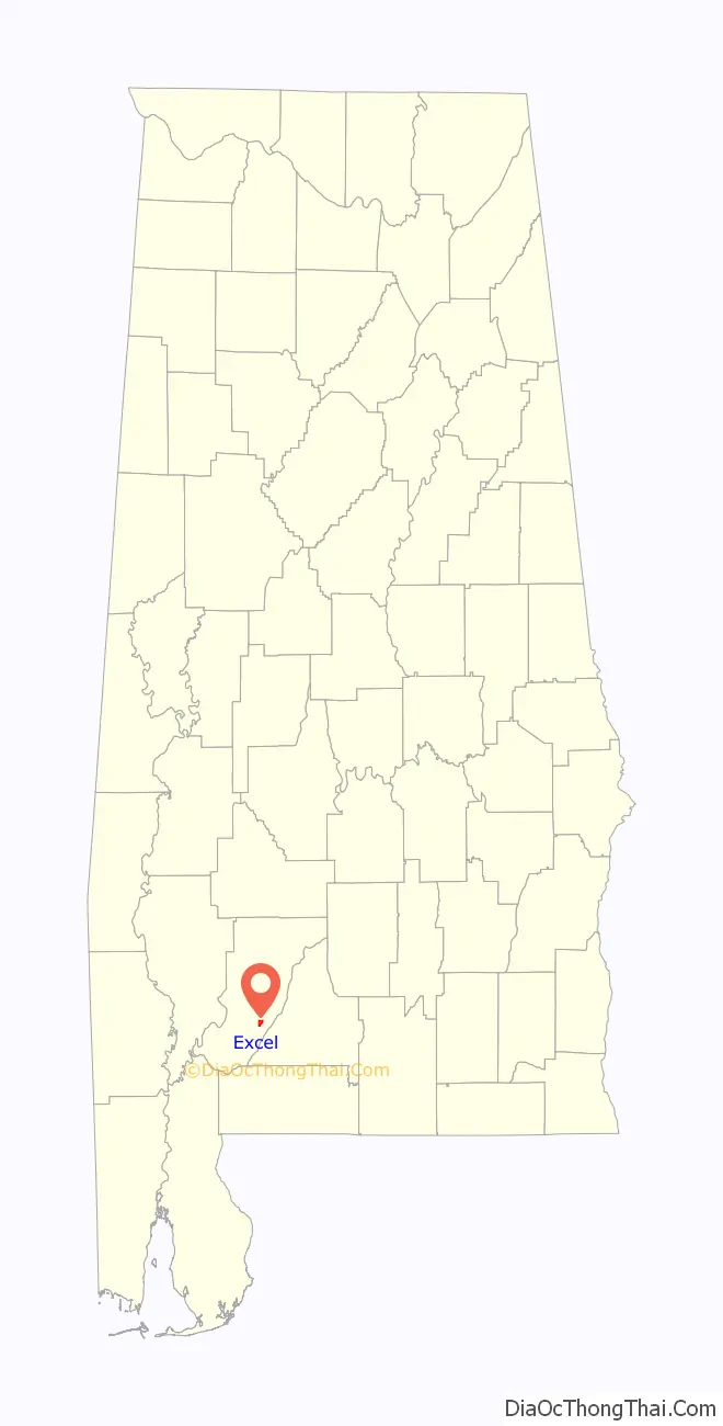
Excel location map. Where is Excel town?
History
The first settlers arrived in Excel around 1875. Around the turn of the century, Excel was connected by rail, allowing for economic expansion through the shipping of lumber and farm products. The rail line ceased operation in 1935, and Excel’s growth slowed by 1937.
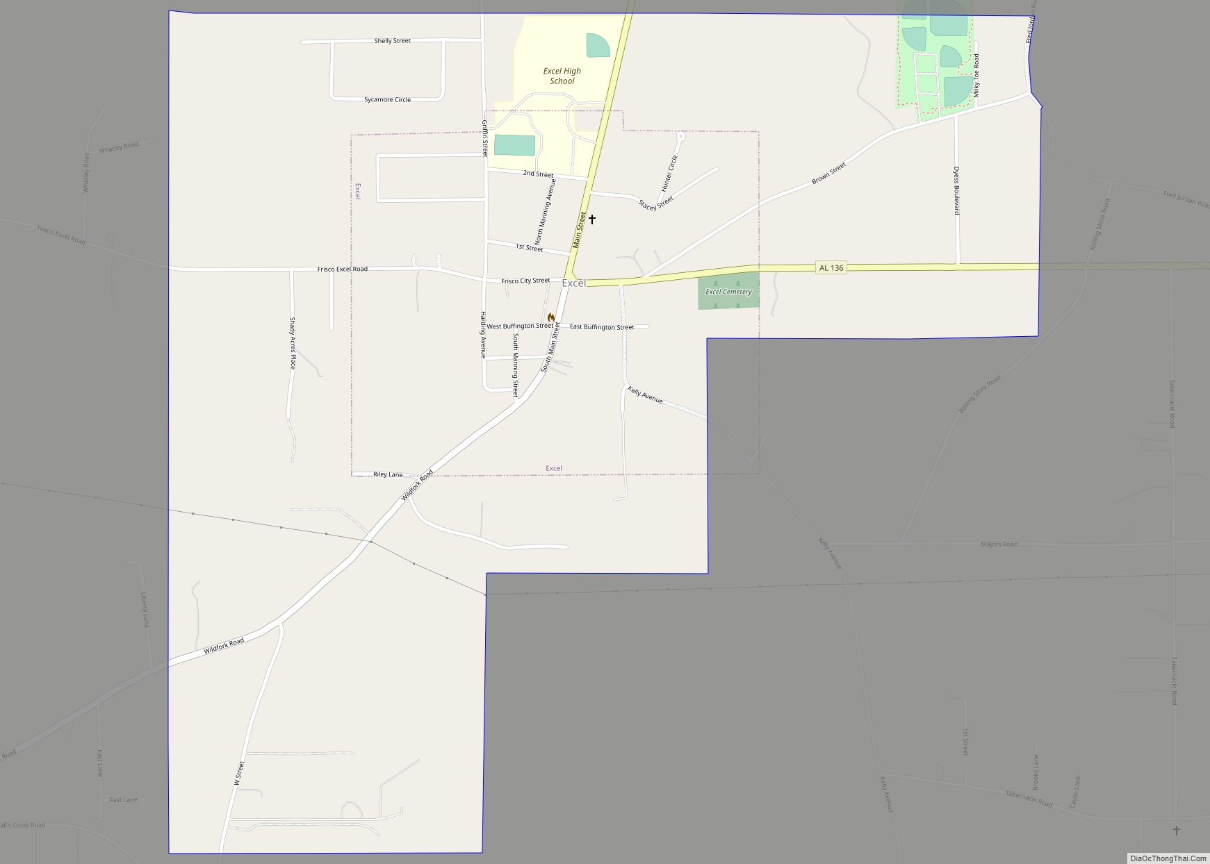
Excel Road Map
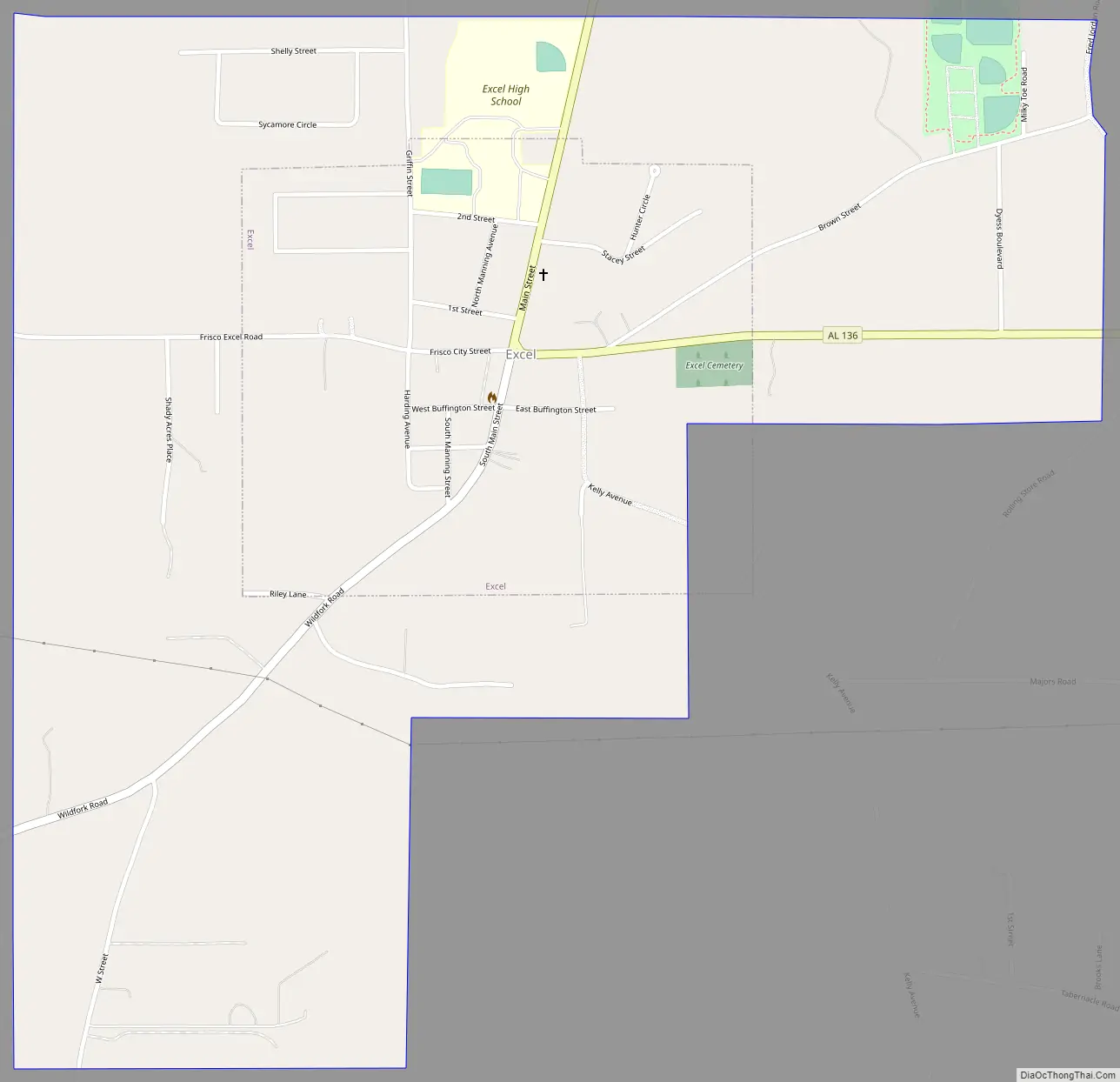
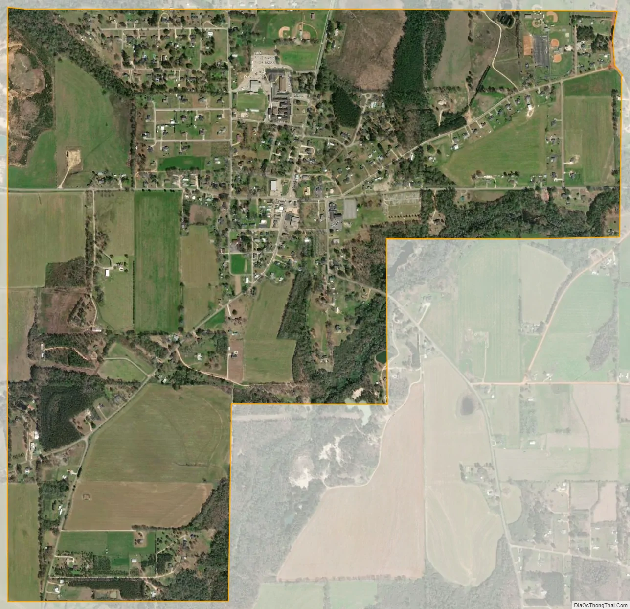
Excel city Satellite Map
Geography
Excel is located at 31°25′38″N 87°20′26″W / 31.42722°N 87.34056°W / 31.42722; -87.34056 (31.427308, -87.340587).
According to the U.S. Census Bureau, the town has a total area of 1.6 square miles (4.1 km), all land.
See also
Map of Alabama State and its subdivision:- Autauga
- Baldwin
- Barbour
- Bibb
- Blount
- Bullock
- Butler
- Calhoun
- Chambers
- Cherokee
- Chilton
- Choctaw
- Clarke
- Clay
- Cleburne
- Coffee
- Colbert
- Conecuh
- Coosa
- Covington
- Crenshaw
- Cullman
- Dale
- Dallas
- De Kalb
- Elmore
- Escambia
- Etowah
- Fayette
- Franklin
- Geneva
- Greene
- Hale
- Henry
- Houston
- Jackson
- Jefferson
- Lamar
- Lauderdale
- Lawrence
- Lee
- Limestone
- Lowndes
- Macon
- Madison
- Marengo
- Marion
- Marshall
- Mobile
- Monroe
- Montgomery
- Morgan
- Perry
- Pickens
- Pike
- Randolph
- Russell
- Saint Clair
- Shelby
- Sumter
- Talladega
- Tallapoosa
- Tuscaloosa
- Walker
- Washington
- Wilcox
- Winston
- Alabama
- Alaska
- Arizona
- Arkansas
- California
- Colorado
- Connecticut
- Delaware
- District of Columbia
- Florida
- Georgia
- Hawaii
- Idaho
- Illinois
- Indiana
- Iowa
- Kansas
- Kentucky
- Louisiana
- Maine
- Maryland
- Massachusetts
- Michigan
- Minnesota
- Mississippi
- Missouri
- Montana
- Nebraska
- Nevada
- New Hampshire
- New Jersey
- New Mexico
- New York
- North Carolina
- North Dakota
- Ohio
- Oklahoma
- Oregon
- Pennsylvania
- Rhode Island
- South Carolina
- South Dakota
- Tennessee
- Texas
- Utah
- Vermont
- Virginia
- Washington
- West Virginia
- Wisconsin
- Wyoming