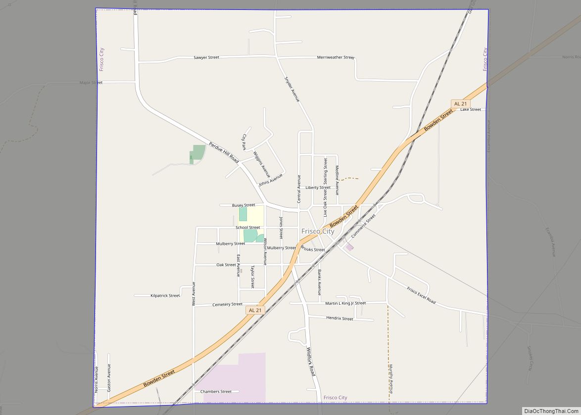
Frisco City is a town in Monroe County, Alabama, United States. At the 2020 census, the population was 1,170.
| Name: | Frisco City town |
|---|---|
| LSAD Code: | 43 |
| LSAD Description: | town (suffix) |
| State: | Alabama |
| County: | Monroe County |
| Elevation: | 404 ft (123 m) |
| Total Area: | 4.04 sq mi (10.46 km²) |
| Land Area: | 4.03 sq mi (10.43 km²) |
| Water Area: | 0.01 sq mi (0.02 km²) |
| Total Population: | 1,170 |
| Population Density: | 290.39/sq mi (112.13/km²) |
| ZIP code: | 36445 |
| Area code: | 251 |
| FIPS code: | 0128312 |
| GNISfeature ID: | 0151784 |
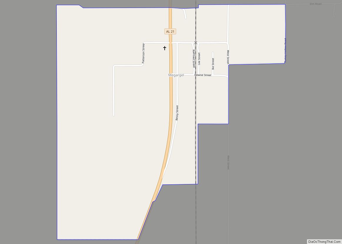
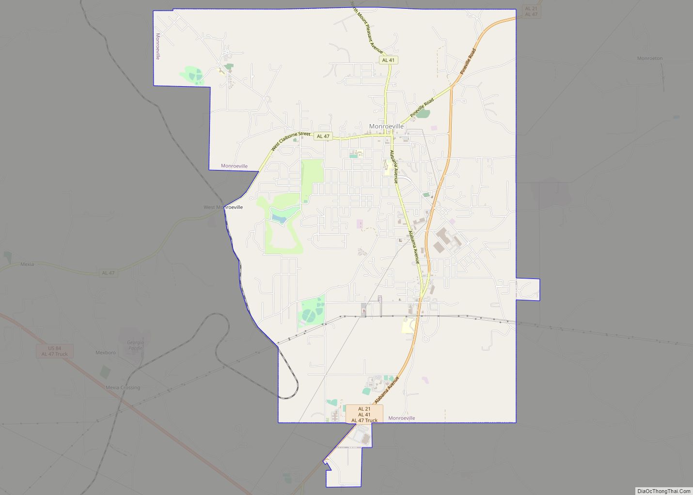
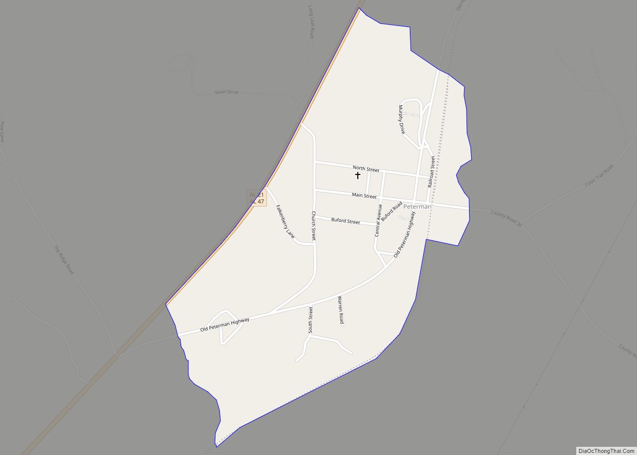
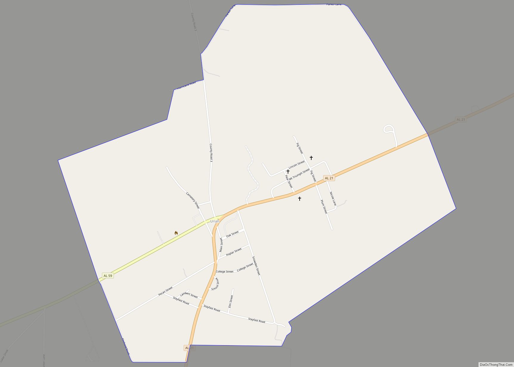
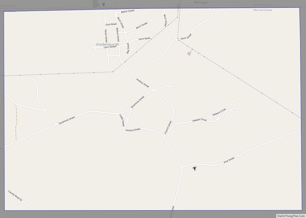
Online Interactive Map
Click on ![]() to view map in "full screen" mode.
to view map in "full screen" mode.
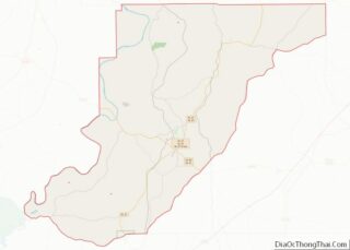
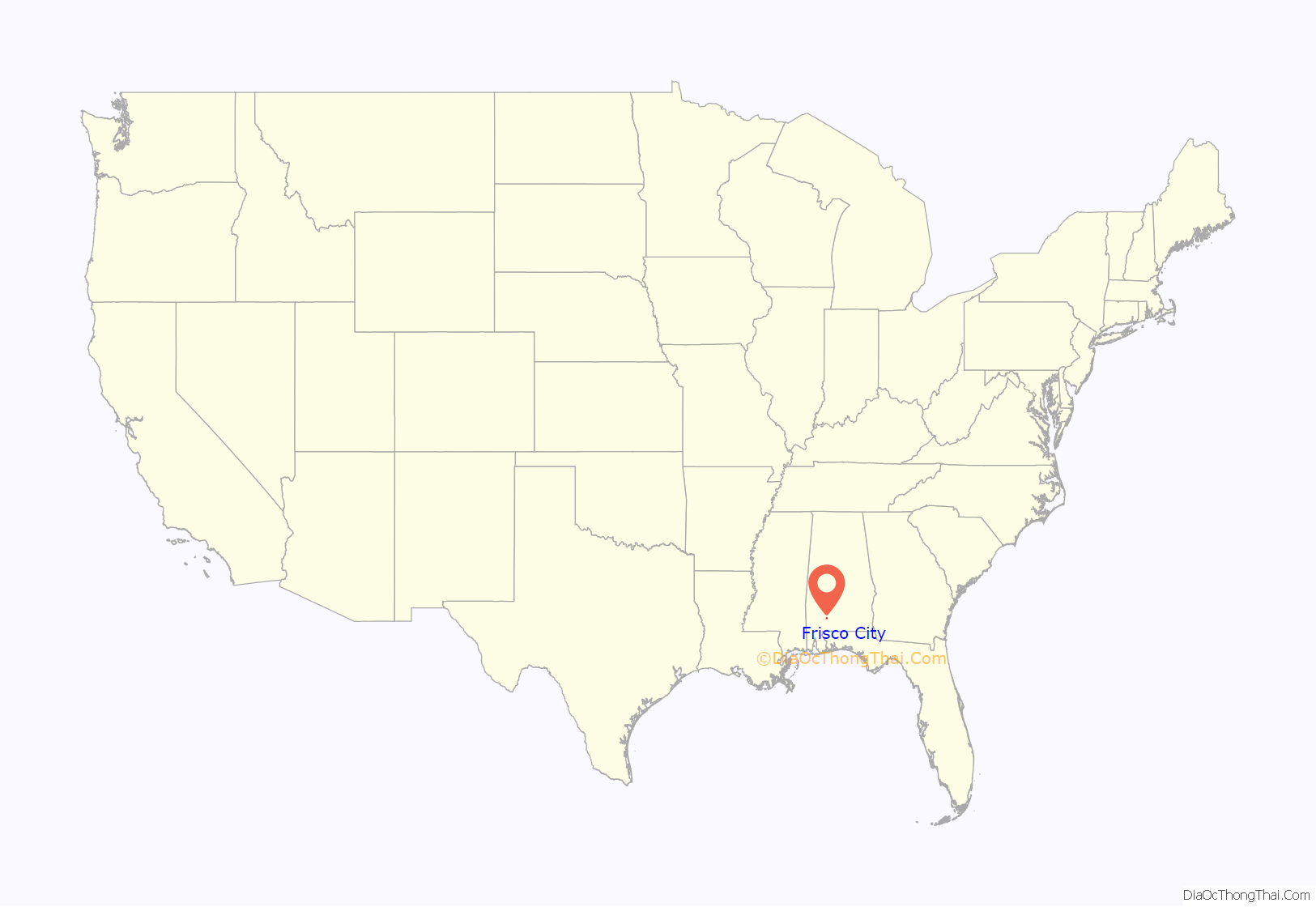
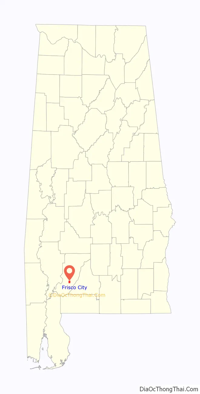
Frisco City location map. Where is Frisco City town?
History
What would become Frisco City started out as two mid-19th century communities named Lufkin and Snider. It initially incorporated as the town of Jones Mill in 1909. It was named for the owner of the local grist mill. Four years later on November 4, 1913, the town was renamed as Roy for Roy Megargel, owner of the Gulf, Florida, and Alabama Railroad (GFA). The renaming was done on the condition that “Roy” would receive a rail line to the Town.
When Megargel failed to deliver on his promise, the town reverted to its name of Jones Mill in 1919 (also referred to as Jones Mills plural). Megargel failed to keep his name on Jones Mill, but later received a community named for him, that of Megargel, a census-designated place as of 2010.
In 1925, the St. Louis and San Francisco Railroad bought the GFA Railroad and agreed to complete what Megargel was not able to. In 1928, the line was completed, and in gratitude, the town formally renamed itself as Frisco City (taken from San Francisco).
Climate
Climate is characterized by relatively high temperatures and evenly distributed precipitation throughout the year. The Köppen Climate Classification sub-type for this climate is “Cfa” (Humid Subtropical Climate).
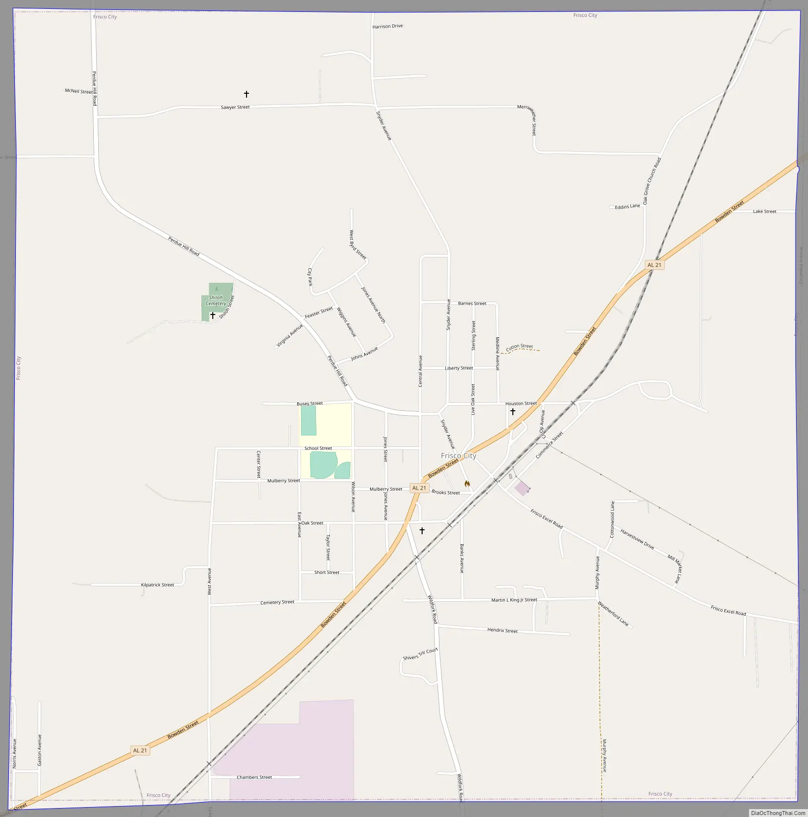
Frisco City Road Map
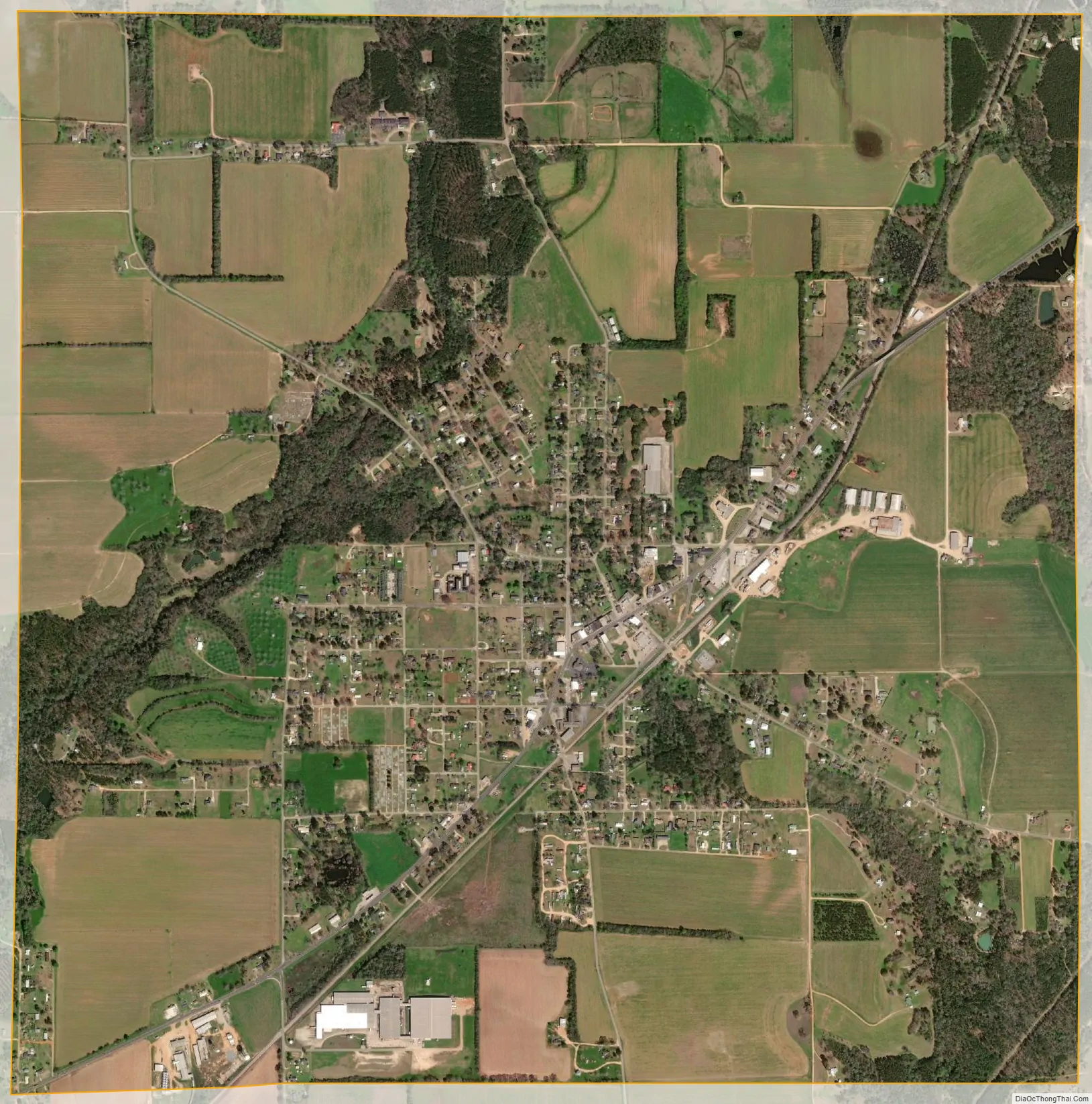
Frisco City city Satellite Map
Geography
Frisco City is located at 31°26′2″N 87°24′8″W / 31.43389°N 87.40222°W / 31.43389; -87.40222 (31.433769, -87.402120).
According to the U.S. Census Bureau, the town has a total area of 4.1 square miles (10.5 km), of which 4.0 square miles (10.4 km) is land and 0.0077 square miles (0.02 km), or 0.24%, is water.
See also
Map of Alabama State and its subdivision:- Autauga
- Baldwin
- Barbour
- Bibb
- Blount
- Bullock
- Butler
- Calhoun
- Chambers
- Cherokee
- Chilton
- Choctaw
- Clarke
- Clay
- Cleburne
- Coffee
- Colbert
- Conecuh
- Coosa
- Covington
- Crenshaw
- Cullman
- Dale
- Dallas
- De Kalb
- Elmore
- Escambia
- Etowah
- Fayette
- Franklin
- Geneva
- Greene
- Hale
- Henry
- Houston
- Jackson
- Jefferson
- Lamar
- Lauderdale
- Lawrence
- Lee
- Limestone
- Lowndes
- Macon
- Madison
- Marengo
- Marion
- Marshall
- Mobile
- Monroe
- Montgomery
- Morgan
- Perry
- Pickens
- Pike
- Randolph
- Russell
- Saint Clair
- Shelby
- Sumter
- Talladega
- Tallapoosa
- Tuscaloosa
- Walker
- Washington
- Wilcox
- Winston
- Alabama
- Alaska
- Arizona
- Arkansas
- California
- Colorado
- Connecticut
- Delaware
- District of Columbia
- Florida
- Georgia
- Hawaii
- Idaho
- Illinois
- Indiana
- Iowa
- Kansas
- Kentucky
- Louisiana
- Maine
- Maryland
- Massachusetts
- Michigan
- Minnesota
- Mississippi
- Missouri
- Montana
- Nebraska
- Nevada
- New Hampshire
- New Jersey
- New Mexico
- New York
- North Carolina
- North Dakota
- Ohio
- Oklahoma
- Oregon
- Pennsylvania
- Rhode Island
- South Carolina
- South Dakota
- Tennessee
- Texas
- Utah
- Vermont
- Virginia
- Washington
- West Virginia
- Wisconsin
- Wyoming