Fruithurst is a town in Cleburne County, Alabama, United States. At the 2020 census, the population was 235.
| Name: | Fruithurst town |
|---|---|
| LSAD Code: | 43 |
| LSAD Description: | town (suffix) |
| State: | Alabama |
| County: | Cleburne County |
| Elevation: | 1,079 ft (329 m) |
| Total Area: | 1.00 sq mi (2.59 km²) |
| Land Area: | 1.00 sq mi (2.59 km²) |
| Water Area: | 0.00 sq mi (0.00 km²) |
| Total Population: | 235 |
| Population Density: | 235.00/sq mi (90.71/km²) |
| ZIP code: | 36262 |
| Area code: | 256 |
| FIPS code: | 0128432 |
| GNISfeature ID: | 0118739 |
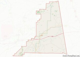
Online Interactive Map
Click on ![]() to view map in "full screen" mode.
to view map in "full screen" mode.
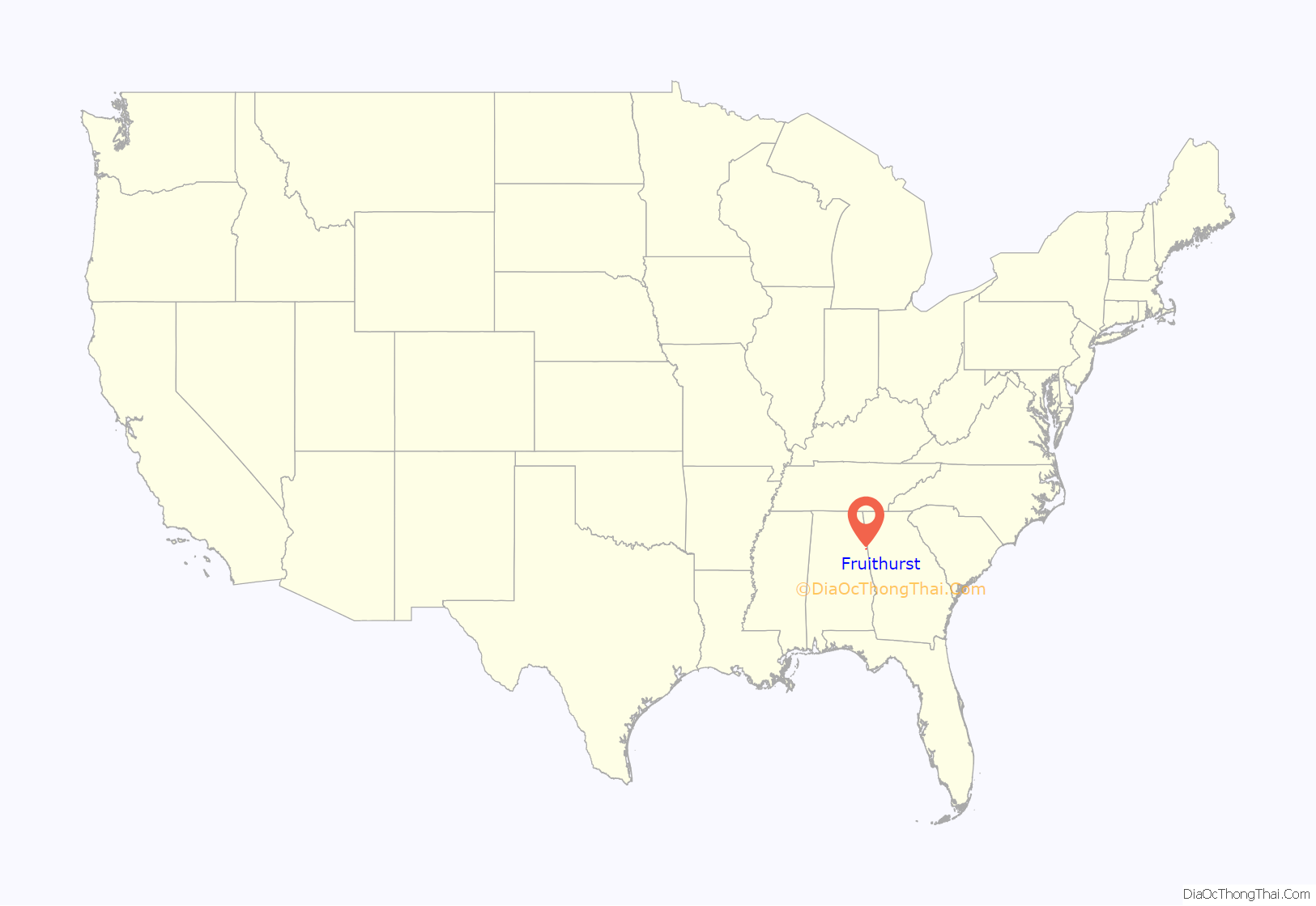
Fruithurst location map. Where is Fruithurst town?
History
Fruithurst once had a reputation for being a notorious speed trap along US Highway 78. Abuse of policing reached such an extent that in 1975 Alabama Attorney General Bill Baxley set up an office in the town, personally pledging to provide criminal defense to any person arrested or cited in the town. Additionally Reason magazine reported in May 2022 that, “…one case involved a woman arrested for traveling 58 in a 55-mph zone. She was also charged with transporting untaxed liquor—a half-empty miniature bottle of liqueur in her purse…” stating this was, “…both an abuse of law enforcement powers and a mockery of the very idea of legitimate traffic safety enforcement.”
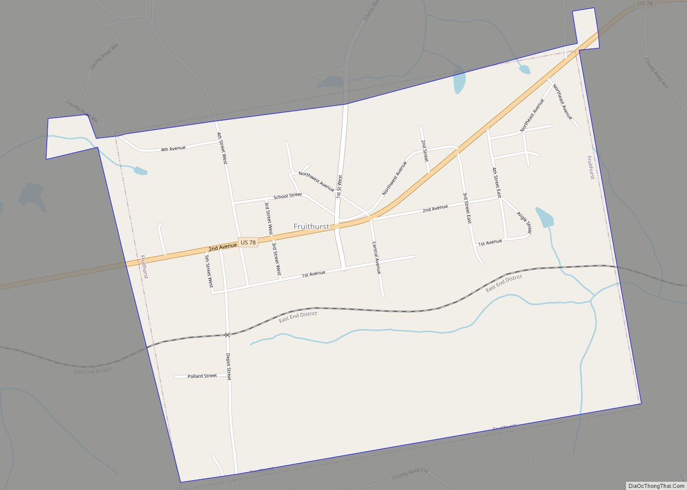
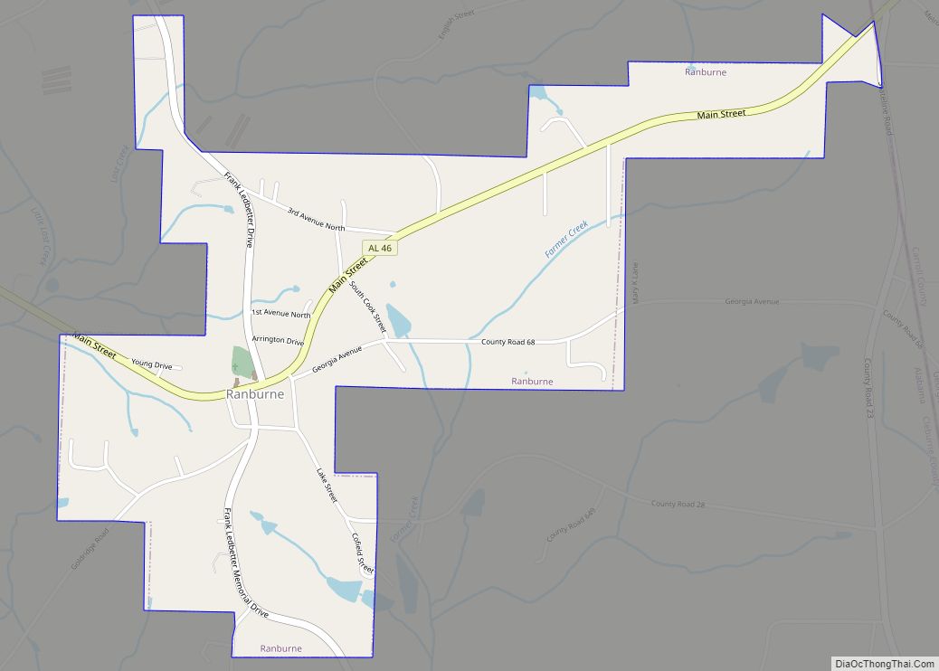
Fruithurst Road Map
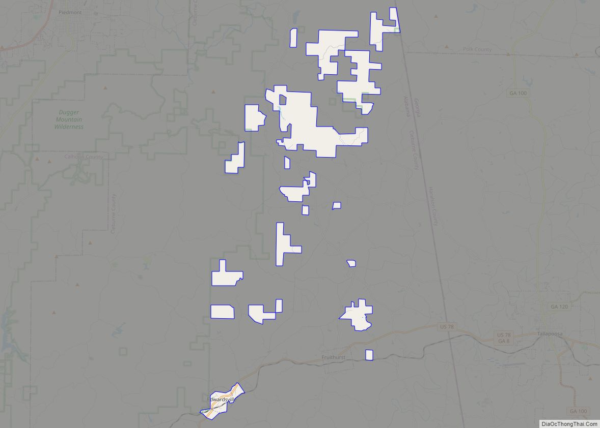
Fruithurst city Satellite Map
Geography
Fruithurst is located at 33°43’51.971″ North, 85°25’54.332″ West (33.731103, −85.431759).
According to the U.S. Census Bureau, the city has a total area of 1.0 square mile (2.6 km), all land.
See also
Map of Alabama State and its subdivision:- Autauga
- Baldwin
- Barbour
- Bibb
- Blount
- Bullock
- Butler
- Calhoun
- Chambers
- Cherokee
- Chilton
- Choctaw
- Clarke
- Clay
- Cleburne
- Coffee
- Colbert
- Conecuh
- Coosa
- Covington
- Crenshaw
- Cullman
- Dale
- Dallas
- De Kalb
- Elmore
- Escambia
- Etowah
- Fayette
- Franklin
- Geneva
- Greene
- Hale
- Henry
- Houston
- Jackson
- Jefferson
- Lamar
- Lauderdale
- Lawrence
- Lee
- Limestone
- Lowndes
- Macon
- Madison
- Marengo
- Marion
- Marshall
- Mobile
- Monroe
- Montgomery
- Morgan
- Perry
- Pickens
- Pike
- Randolph
- Russell
- Saint Clair
- Shelby
- Sumter
- Talladega
- Tallapoosa
- Tuscaloosa
- Walker
- Washington
- Wilcox
- Winston
- Alabama
- Alaska
- Arizona
- Arkansas
- California
- Colorado
- Connecticut
- Delaware
- District of Columbia
- Florida
- Georgia
- Hawaii
- Idaho
- Illinois
- Indiana
- Iowa
- Kansas
- Kentucky
- Louisiana
- Maine
- Maryland
- Massachusetts
- Michigan
- Minnesota
- Mississippi
- Missouri
- Montana
- Nebraska
- Nevada
- New Hampshire
- New Jersey
- New Mexico
- New York
- North Carolina
- North Dakota
- Ohio
- Oklahoma
- Oregon
- Pennsylvania
- Rhode Island
- South Carolina
- South Dakota
- Tennessee
- Texas
- Utah
- Vermont
- Virginia
- Washington
- West Virginia
- Wisconsin
- Wyoming
