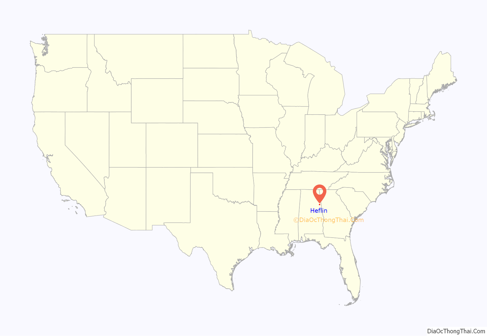
Heflin is a city and the county seat of Cleburne County, Alabama, United States. At the 2020 census, the population was 3,431. It is located approximately halfway between Birmingham and Atlanta along Interstate 20.
| Name: | Heflin city |
|---|---|
| LSAD Code: | 25 |
| LSAD Description: | city (suffix) |
| State: | Alabama |
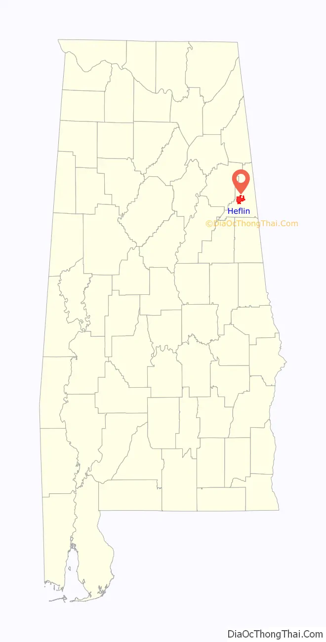
| County: | Cleburne County |
| Incorporated: | 1886 |
| Elevation: | 961 ft (293 m) |
| Total Area: | 16.31 sq mi (42.23 km²) |
| Land Area: | 16.13 sq mi (41.77 km²) |
| Water Area: | 0.18 sq mi (0.46 km²) |
| Total Population: | 3,431 |
| Population Density: | 212.74/sq mi (82.14/km²) |
| ZIP code: | 36264 |
| Area code: | 256 |
| FIPS code: | 0133976 |
| GNISfeature ID: | 0159746 |
| Website: | http://www.cityofheflin.org/ |
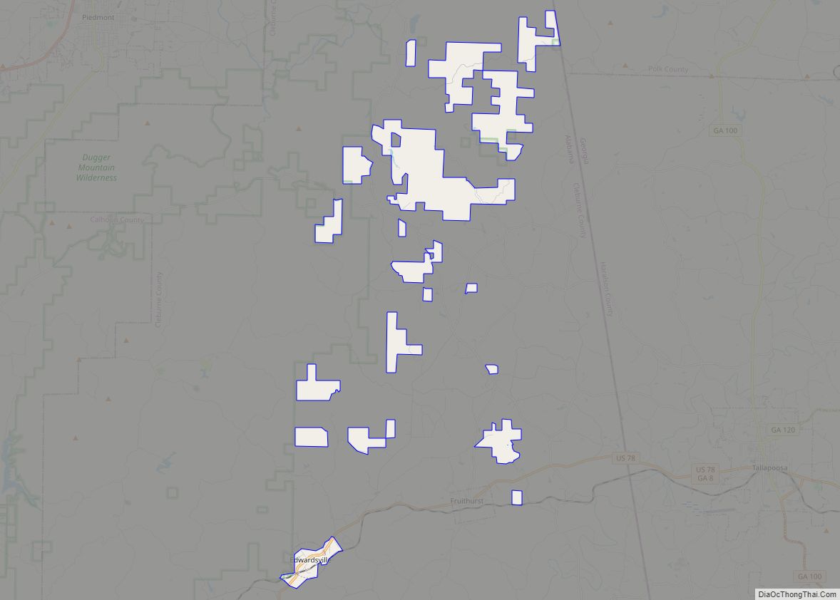
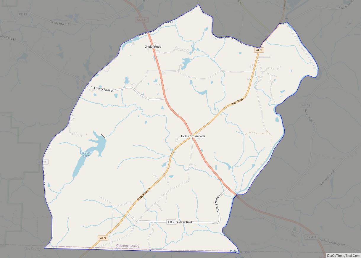
Online Interactive Map
Click on ![]() to view map in "full screen" mode.
to view map in "full screen" mode.
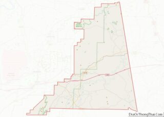
Heflin location map. Where is Heflin city?
History
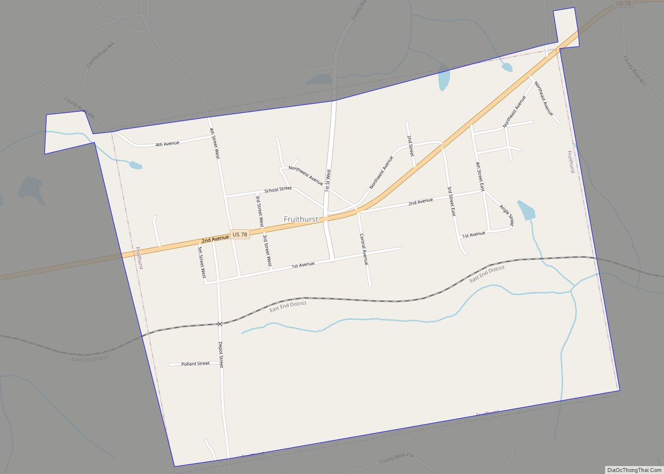
Heflin was first settled in 1882 as a station on the railroad line from Atlanta. The town quickly grew and was incorporated in 1886. Until 1905, the County Seat of Cleburne County had been located at Edwardsville. In 1905, an election was held to move the county seat from Edwardsville to Heflin. The election results favored Heflin and were appealed to and upheld by the Alabama Supreme Court on July 1, 1906.
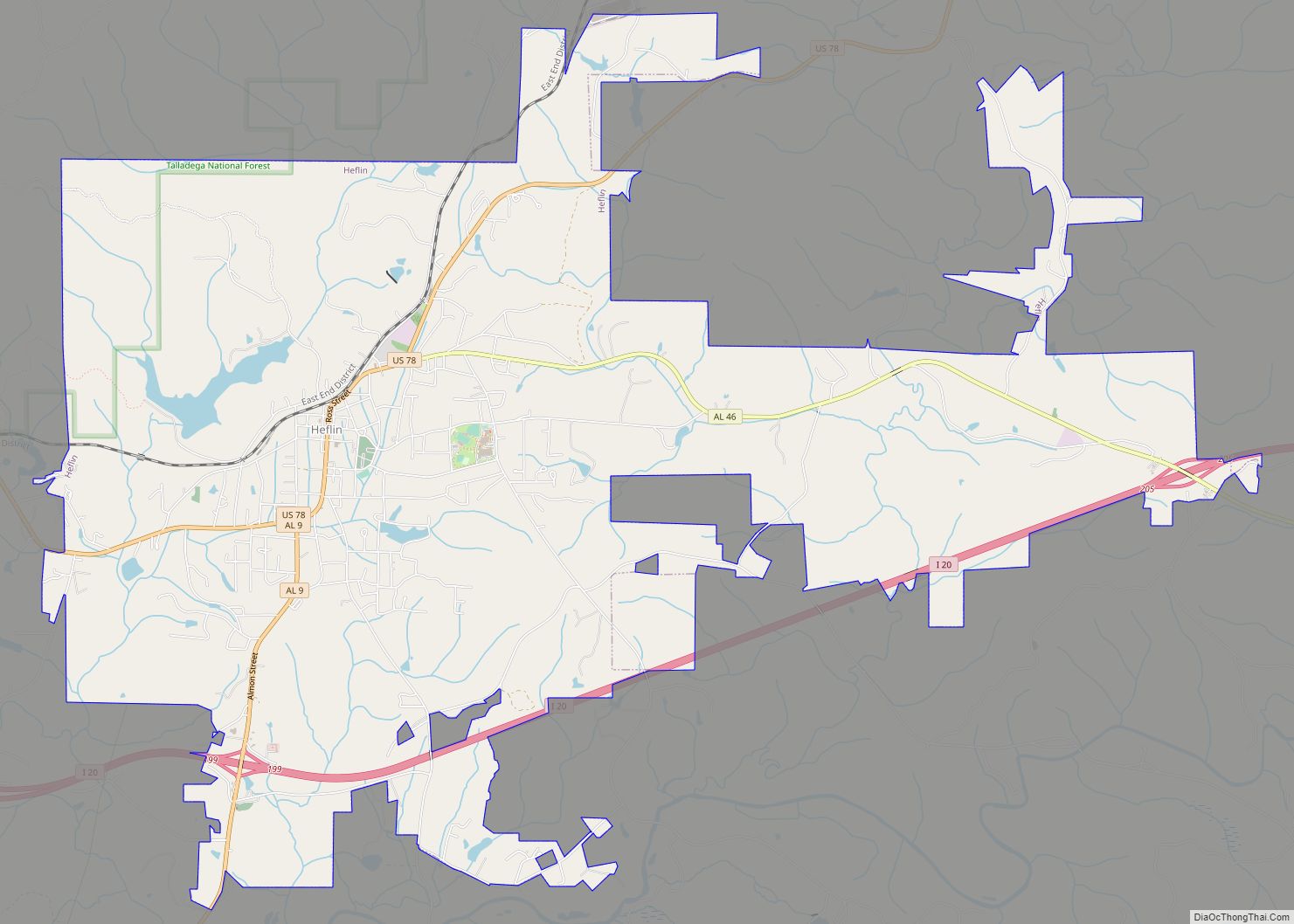
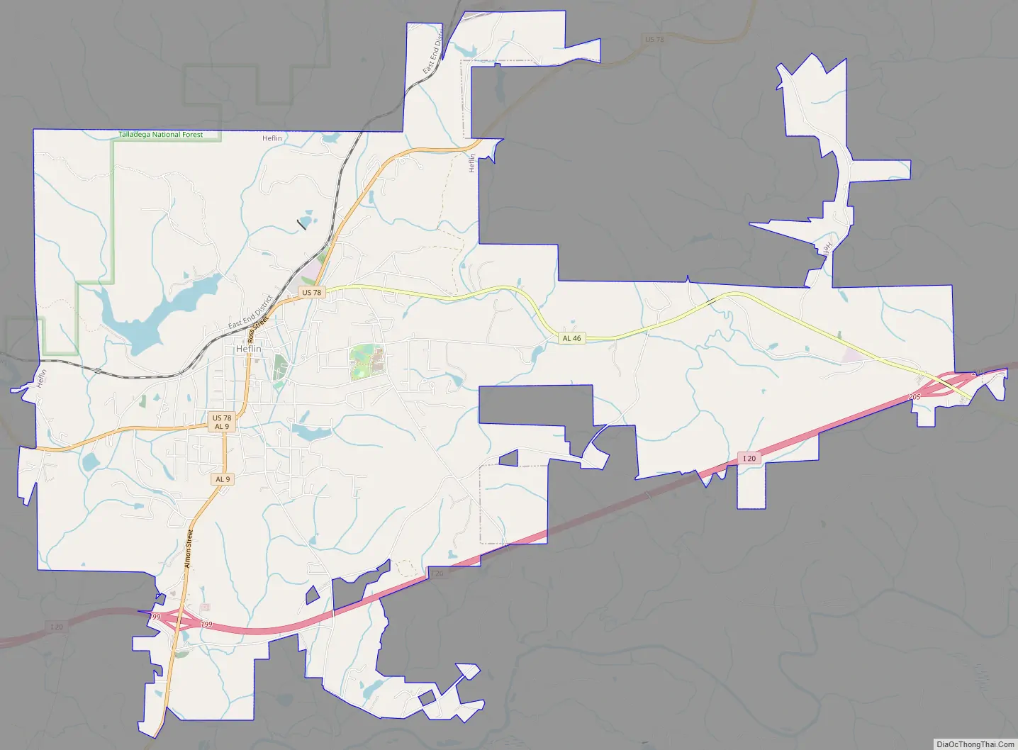
Heflin Road Map
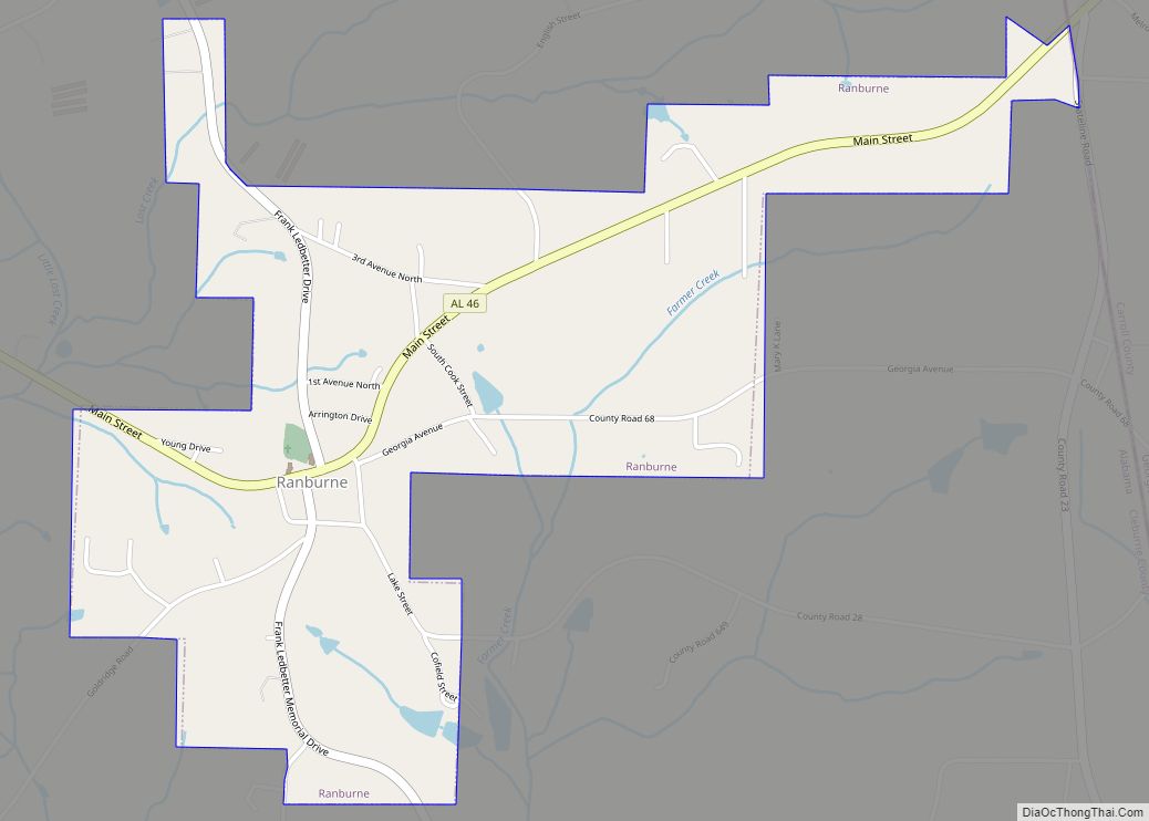
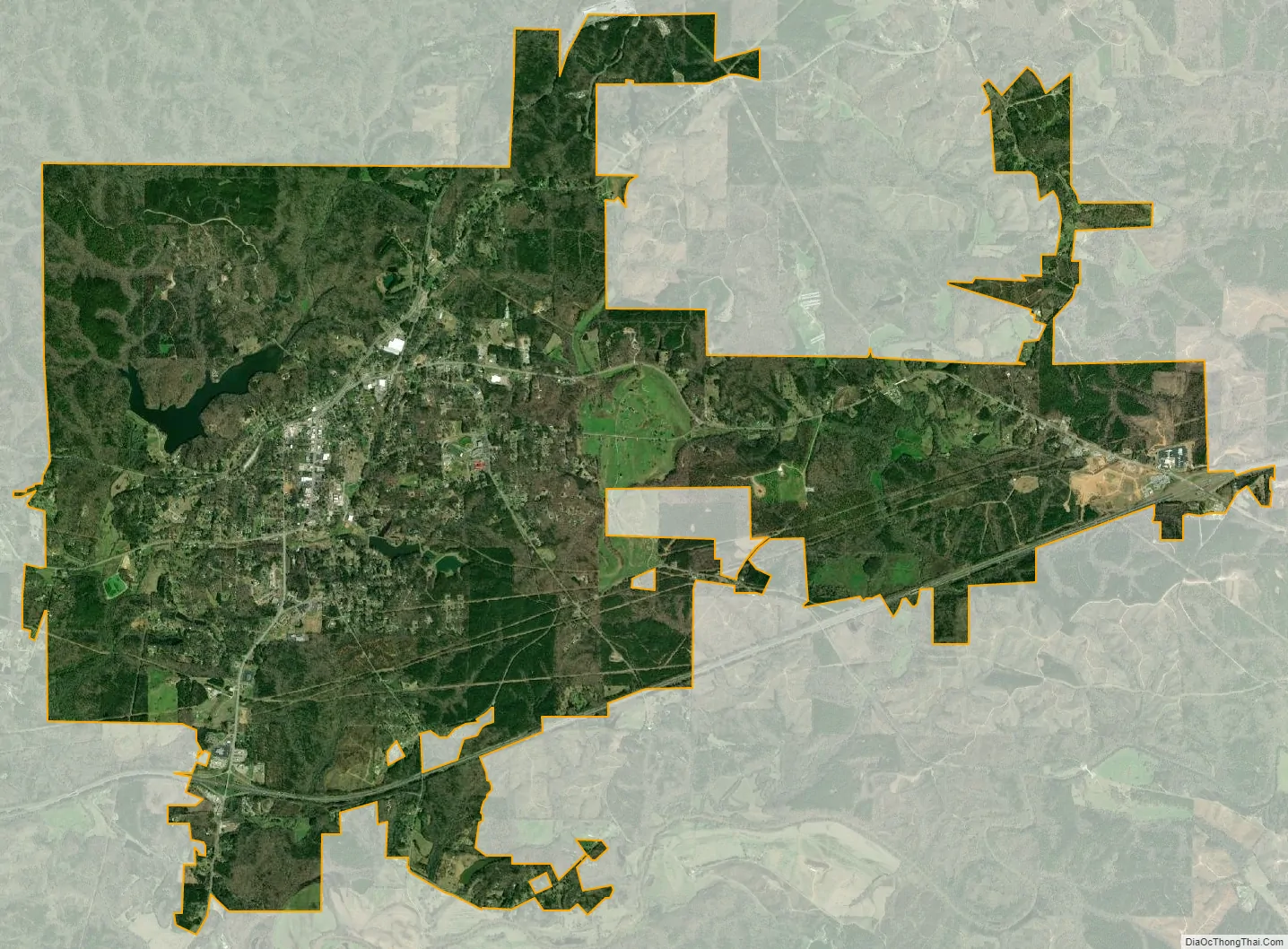
Heflin city Satellite Map
Geography
Heflin is located at 33°38’37.514″ North, 85°34’57.724″ West (33.643754, −85.582701).
According to the U.S. Census Bureau, the city has a total area of 12.0 square miles (31 km), of which 11.8 square miles (31 km) is land and 0.2 square miles (0.52 km) (1.50%) is water.
The city is located in the east central part of the state approximately 15 mi west of the Alabama-Georgia state line. Interstate 20 runs west to east through the southern part of the city. Access to the city can be found from exits 199 and 205. Via I-20, Birmingham is 76 mi (122 km) west, and Atlanta is 72 mi (116 km) east. U.S. Route 78 also runs through the city, along with two state routes (Alabama State Route 9 and Alabama State Route 46).
See also
Map of Alabama State and its subdivision:- Autauga
- Baldwin
- Barbour
- Bibb
- Blount
- Bullock
- Butler
- Calhoun
- Chambers
- Cherokee
- Chilton
- Choctaw
- Clarke
- Clay
- Cleburne
- Coffee
- Colbert
- Conecuh
- Coosa
- Covington
- Crenshaw
- Cullman
- Dale
- Dallas
- De Kalb
- Elmore
- Escambia
- Etowah
- Fayette
- Franklin
- Geneva
- Greene
- Hale
- Henry
- Houston
- Jackson
- Jefferson
- Lamar
- Lauderdale
- Lawrence
- Lee
- Limestone
- Lowndes
- Macon
- Madison
- Marengo
- Marion
- Marshall
- Mobile
- Monroe
- Montgomery
- Morgan
- Perry
- Pickens
- Pike
- Randolph
- Russell
- Saint Clair
- Shelby
- Sumter
- Talladega
- Tallapoosa
- Tuscaloosa
- Walker
- Washington
- Wilcox
- Winston
- Alabama
- Alaska
- Arizona
- Arkansas
- California
- Colorado
- Connecticut
- Delaware
- District of Columbia
- Florida
- Georgia
- Hawaii
- Idaho
- Illinois
- Indiana
- Iowa
- Kansas
- Kentucky
- Louisiana
- Maine
- Maryland
- Massachusetts
- Michigan
- Minnesota
- Mississippi
- Missouri
- Montana
- Nebraska
- Nevada
- New Hampshire
- New Jersey
- New Mexico
- New York
- North Carolina
- North Dakota
- Ohio
- Oklahoma
- Oregon
- Pennsylvania
- Rhode Island
- South Carolina
- South Dakota
- Tennessee
- Texas
- Utah
- Vermont
- Virginia
- Washington
- West Virginia
- Wisconsin
- Wyoming