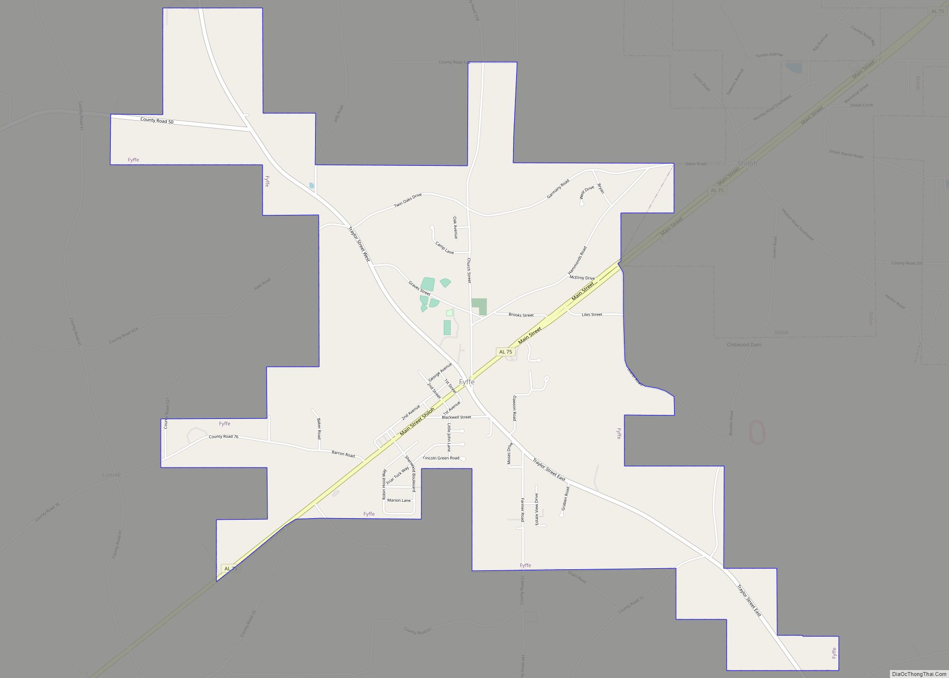
Fyffe is a town in DeKalb County, Alabama, United States. It was incorporated in 1956. At the 2020 census, the population was 967. Fyffe is located atop Sand Mountain.
| Name: | Fyffe town |
|---|---|
| LSAD Code: | 43 |
| LSAD Description: | town (suffix) |
| State: | Alabama |
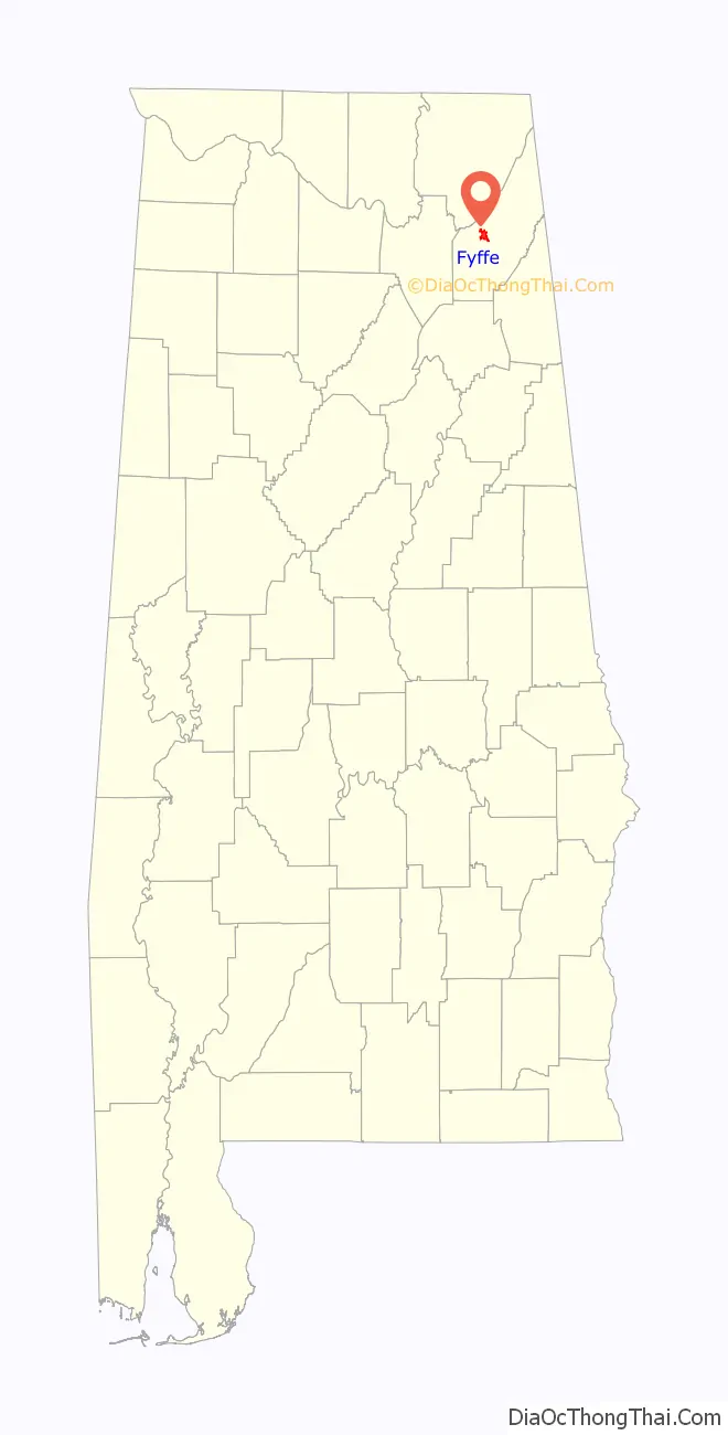
| County: | DeKalb County |
| Elevation: | 1,280 ft (390 m) |
| Total Area: | 4.97 sq mi (12.87 km²) |
| Land Area: | 4.97 sq mi (12.87 km²) |
| Water Area: | 0.00 sq mi (0.00 km²) |
| Total Population: | 967 |
| Population Density: | 194.68/sq mi (75.16/km²) |
| ZIP code: | 35971 |
| Area code: | 256 |
| FIPS code: | 0128672 |
| GNISfeature ID: | 2406534 |
| Website: | www.fyffecitylimits.com |
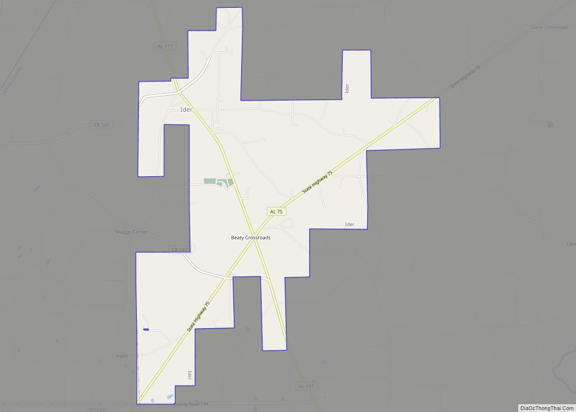
Online Interactive Map
Click on ![]() to view map in "full screen" mode.
to view map in "full screen" mode.
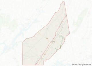
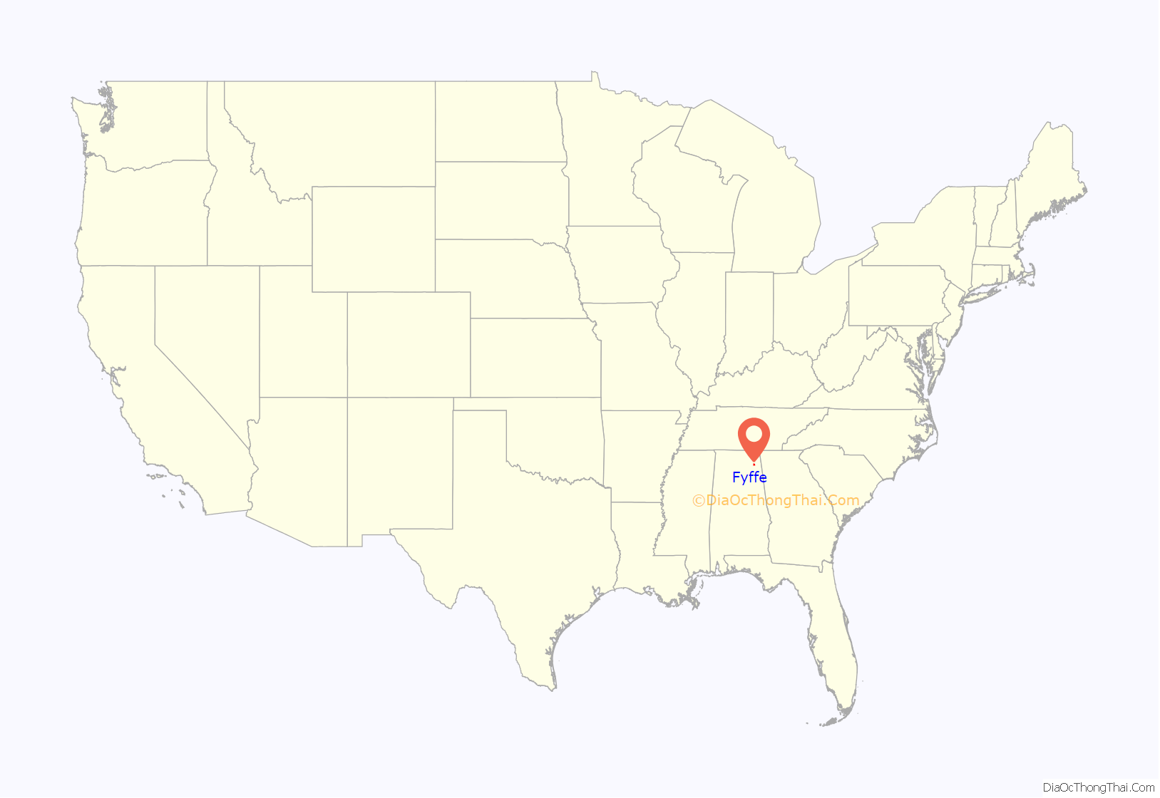
Fyffe location map. Where is Fyffe town?
History
Fyffe was founded in the 1880s. The origin of the name “Fyffe” is obscure, though it was apparently suggested by the Postal Service when the post office was established. A high school was established shortly afterward in 1917.
In 1959, Fyffe hosted the National Sacred Harp Singing Convention, a gathering of Sacred Harp musicians from around the region. Noted musicologist Alan Lomax recorded many of the performances at the convention.
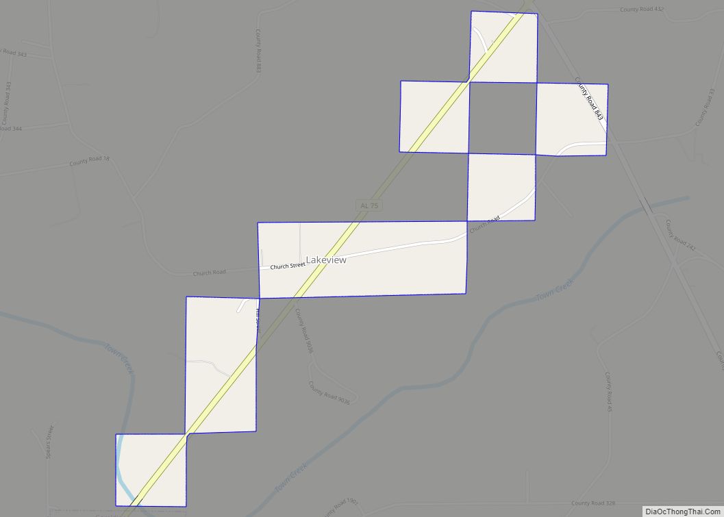
An EF4 tornado struck this city on April 27, 2011, touching down in Lakeview, initially causing structural damage to small buildings and snapping trees. It grew in intensity, causing major structural damage to several homes and buildings before moving on to Rainsville, where damage was even more extensive.
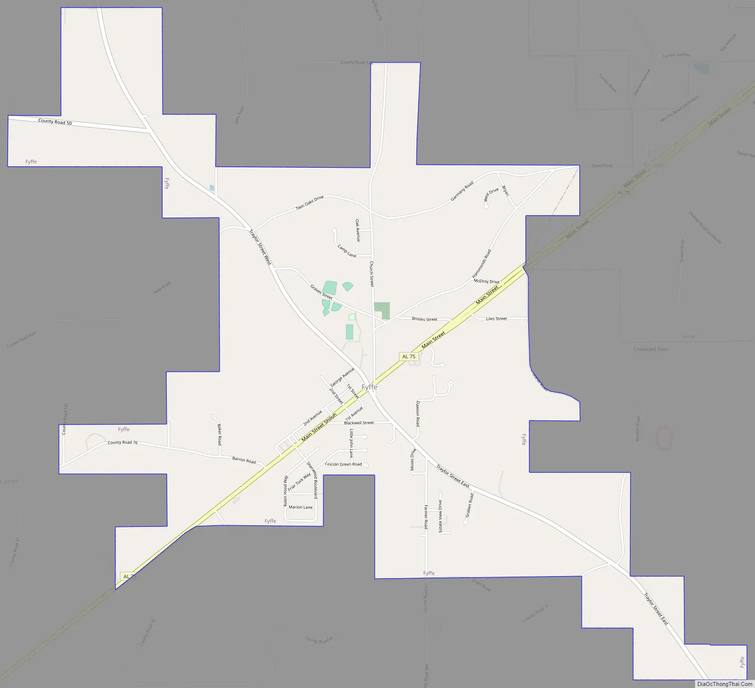
Fyffe Road Map
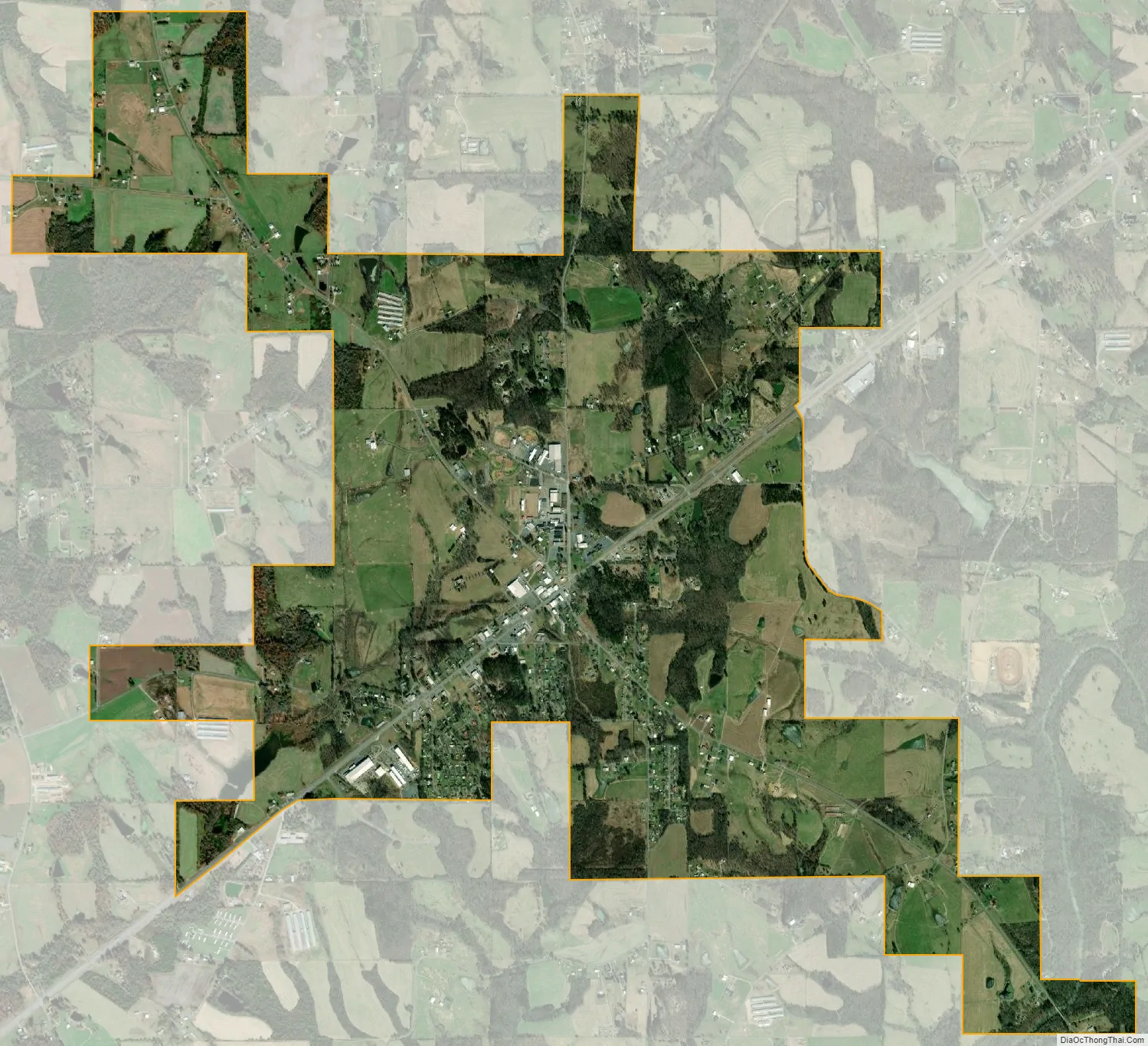
Fyffe city Satellite Map
Geography
Fyffe is located at 34°26′49″N 85°54′24″W / 34.446899°N 85.906590°W / 34.446899; -85.906590. The town is situated along State Route 75, southwest of Rainsville and Shiloh, near the eastern edge of Sand Mountain.
According to the U.S. Census Bureau, the town has a total area of 4.4 square miles (11 km), all land.
See also
Map of Alabama State and its subdivision:- Autauga
- Baldwin
- Barbour
- Bibb
- Blount
- Bullock
- Butler
- Calhoun
- Chambers
- Cherokee
- Chilton
- Choctaw
- Clarke
- Clay
- Cleburne
- Coffee
- Colbert
- Conecuh
- Coosa
- Covington
- Crenshaw
- Cullman
- Dale
- Dallas
- De Kalb
- Elmore
- Escambia
- Etowah
- Fayette
- Franklin
- Geneva
- Greene
- Hale
- Henry
- Houston
- Jackson
- Jefferson
- Lamar
- Lauderdale
- Lawrence
- Lee
- Limestone
- Lowndes
- Macon
- Madison
- Marengo
- Marion
- Marshall
- Mobile
- Monroe
- Montgomery
- Morgan
- Perry
- Pickens
- Pike
- Randolph
- Russell
- Saint Clair
- Shelby
- Sumter
- Talladega
- Tallapoosa
- Tuscaloosa
- Walker
- Washington
- Wilcox
- Winston
- Alabama
- Alaska
- Arizona
- Arkansas
- California
- Colorado
- Connecticut
- Delaware
- District of Columbia
- Florida
- Georgia
- Hawaii
- Idaho
- Illinois
- Indiana
- Iowa
- Kansas
- Kentucky
- Louisiana
- Maine
- Maryland
- Massachusetts
- Michigan
- Minnesota
- Mississippi
- Missouri
- Montana
- Nebraska
- Nevada
- New Hampshire
- New Jersey
- New Mexico
- New York
- North Carolina
- North Dakota
- Ohio
- Oklahoma
- Oregon
- Pennsylvania
- Rhode Island
- South Carolina
- South Dakota
- Tennessee
- Texas
- Utah
- Vermont
- Virginia
- Washington
- West Virginia
- Wisconsin
- Wyoming