Fort Payne is a city in and county seat of DeKalb County, in northeastern Alabama, United States. At the 2020 census, the population was 14,877.
European-American settlers gradually developed the settlement around the former fort. It grew rapidly in the late 19th century based on industrial resources and manufacturing increasing in the early 20th centuries. At the beginning of the 21st century, it still had 7000 workers in 100 mills producing varieties of socks, nearly half the world production.
| Name: | Fort Payne city |
|---|---|
| LSAD Code: | 25 |
| LSAD Description: | city (suffix) |
| State: | Alabama |
| County: | DeKalb County |
| Elevation: | 1,079 ft (329 m) |
| Total Area: | 56.76 sq mi (147.01 km²) |
| Land Area: | 56.41 sq mi (146.09 km²) |
| Water Area: | 0.35 sq mi (0.92 km²) |
| Total Population: | 14,877 |
| Population Density: | 263.75/sq mi (101.83/km²) |
| ZIP code: | 35967-35968 |
| Area code: | 256 |
| FIPS code: | 0127616 |
| GNISfeature ID: | 2403645 |
| Website: | www.fortpayne.org |
Online Interactive Map
Click on ![]() to view map in "full screen" mode.
to view map in "full screen" mode.
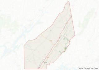
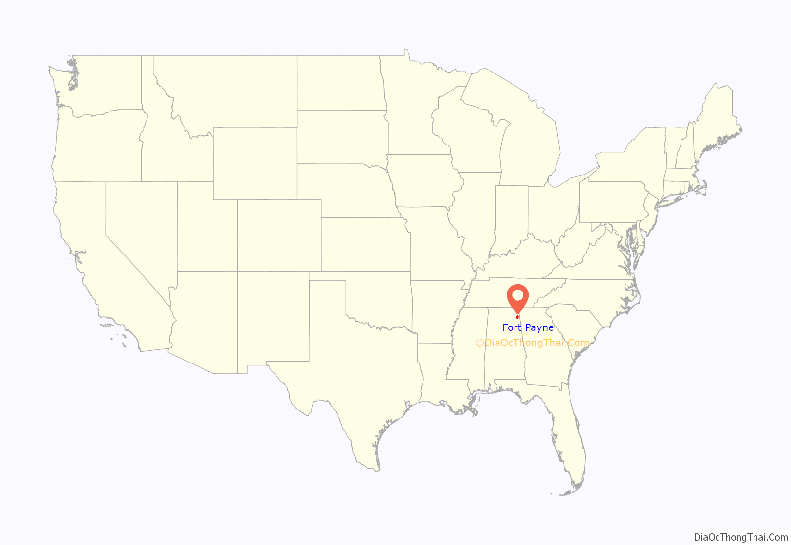
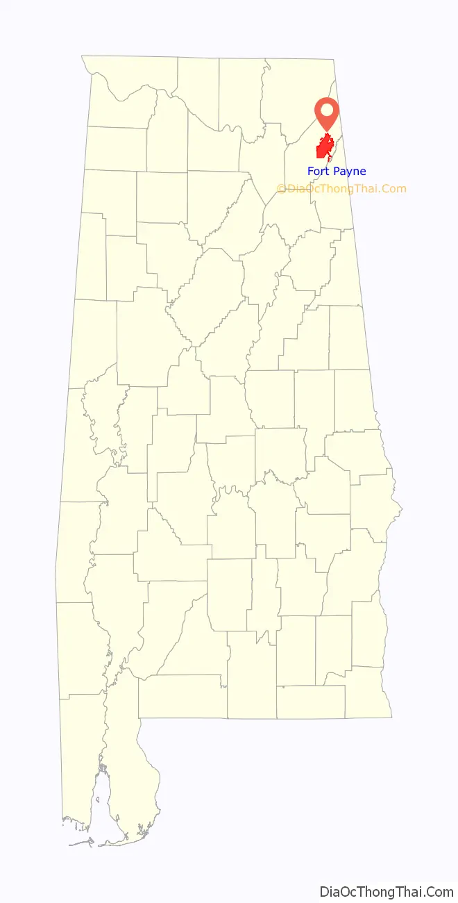
Fort Payne location map. Where is Fort Payne city?
History
In the late 18th and early 19th centuries, this was the site of Willstown, an important Cherokee town. For a time it was the home of Sequoyah, a silversmith who by 1821 created the Cherokee syllabary, one of the few writing systems created by an individual from a pre-literate culture. In Alabama, his people soon started publishing the first newspaper in Cherokee and English, The Cherokee Phoenix.
This settlement was commonly called Willstown after its headman, Will Weber, who had striking red hair. He was the son of Cherokee and German parents. John Norton, a man born in Scotland about 1770 to Scottish and Cherokee parents, visited this area and other parts of the Cherokee homeland in 1809-1810. He had come to North America as a British soldier and became close to Mohawk people at the Grand River Reserve in Ontario, where he served as an interpreter.
During the 1830s prior to Indian removal, the US Army under command of Major John Payne built a fort near Willstown to intern Cherokee from Alabama until they were forcibly removed to Indian Territory (now Oklahoma). Their forced exile became known as the Trail of Tears. Only a chimney of Fort Payne still stands in the downtown of the city that developed around it.
19th-20th century growth
Although European Americans had pressed for Indian removal in the Southeast because they were homesteaders and wanted to settle in the area, by the 1860s, the city of Fort Payne and the surrounding area were sparsely settled. Development of cotton plantations and larger settlements had taken place in the uplands region known as the Black Belt. With no strategic targets nearby, during the Civil War only minor skirmishes between Union and Confederate forces took place here. About the time of the Second Battle of Chattanooga, a large Union force briefly entered the county, but it did not engage substantial Confederate forces.
In 1878 the city Fort Payne was designated as the county seat, and in 1889 it was incorporated as a town. The community of Lebanon had served as the DeKalb county seat since 1850. With the completion of rail lines between Birmingham and Chattanooga that went through Fort Payne, the city’s growth was stimulated as it was connected to the new transportation route. County sentiment had supported having the seat in a community served by the railroad, seen as key to the future.
In the late 1880s, Fort Payne’s growth was stimulated after the discovery of coal and iron deposits, needed to support industrialization in the region. Investors and especially workers from New England and the North flooded into the region for new jobs. This period is called the “Boom Days”, or simply the “Boom”.
Many of the notable historic buildings in Fort Payne date from this period of economic growth and prosperity, including the state’s oldest standing theater, the Fort Payne Opera House; the former factory of the Hardware Manufacturing Company (today known as the W. B. Davis Mill Building, now the location of the Fort Payne Depot Museum, formerly the passenger station for the present-day Norfolk Southern Railway. Following the decline of passenger traffic as people took to automobiles, today the depot serves as a museum of local history.
The iron and coal deposits were much smaller than expected. Many of the promoters left the region for Birmingham, Alabama, which became the state’s major industrial city. Fort Payne suffered a period of economic decline. In 1907, the W.B. Davis Hosiery Mill began operations, processing area cotton to produce socks and hosiery. Hosiery manufacture led the economy in Fort Payne. At the beginning of the 21st century, the hosiery industry in Fort Payne employed over 7,000 people in more than 100 mills. It produced more than half of the socks made in the United States and claimed to be the “Sock Capital of the World.”
Beginning in the 1990s, the North American Free Trade Agreement and the Central American Free Trade Agreement lowered tariffs on textile products imported into the United States, resulting in large increases in sock imports. By the early 2000s a very large, highly-efficient centre for sock production had grown up around Datang, Zhuji in Zhejiang Province, China. Raw materials and hosiery machines were also manufactured at Datang. While in Fort Payne a company might have to wait two months for a replacement part for a hosiery machine to arrive from Italy, a manufacturer in Datang would have to wait half an hour for the part to arrive from a local company. American multinational retail corporations began to source hosiery products from Datang. The American companies’ strict negotiating positions required the Datang producers to accept as little as 3% profit. As American retail corporations began to source their products from China, Datang became the new “Sock Capital of the World.” Many businesses in Fort Payne accused foreign manufacturers, particularly those from China, of engaging in dumping of socks below cost to force American companies out of the sock business. By 2005, hosiery mill employment in Fort Payne had declined to around 5,500, and several mills had closed. In late 2005, the federal government gained an agreement with the Chinese government to slow the schedule for the removal of tariffs, delaying their full removal until 2008. The hosiery industry continues to have a foothold in the community, diversifying from athletic socks to boutique designs such as Zkano, and other specialty and medical socks.
In the 1990s, facing the international threat to their manufacturing, business and civic leaders in Fort Payne began to take steps to diversify the city’s economy. Several new commercial and industrial projects were developed. The largest was the 2006 construction of a distribution center for The Children’s Place stores, a facility that employed 600 people in its first phase of operation.
Other large corporations represented in Fort Payne include Heil Environmental Industries (a division of Dover Industries, manufacturing sanitation trucks); Vulcraft (a division of Nucor Corporation, manufacturing steel roofing systems); and Game Time (a division of Playcore, manufacturing commercial playground equipment).
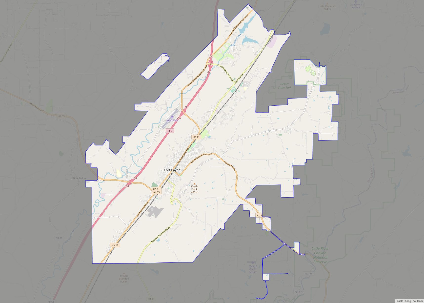
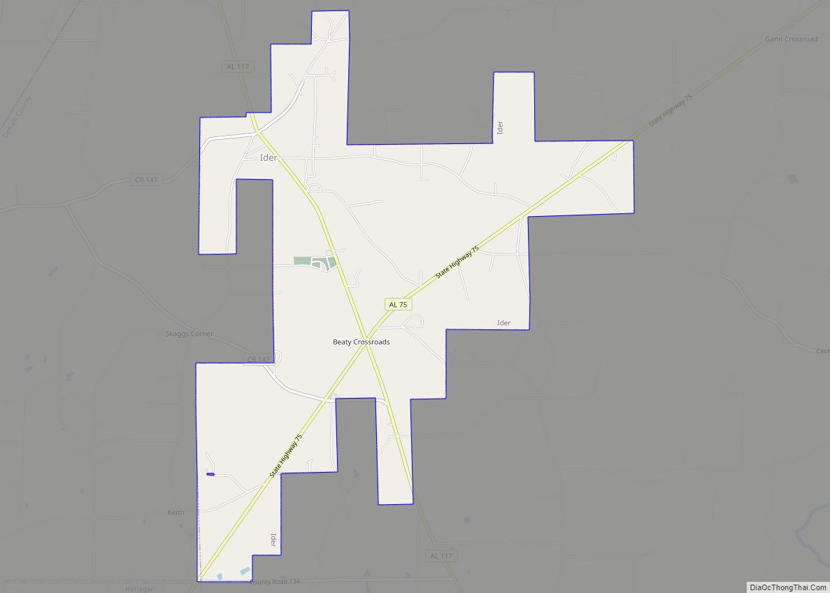
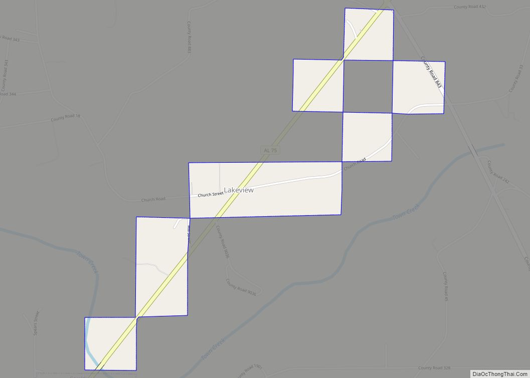
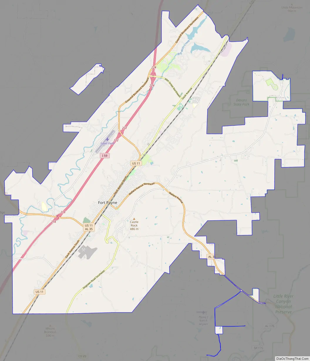
Fort Payne Road Map
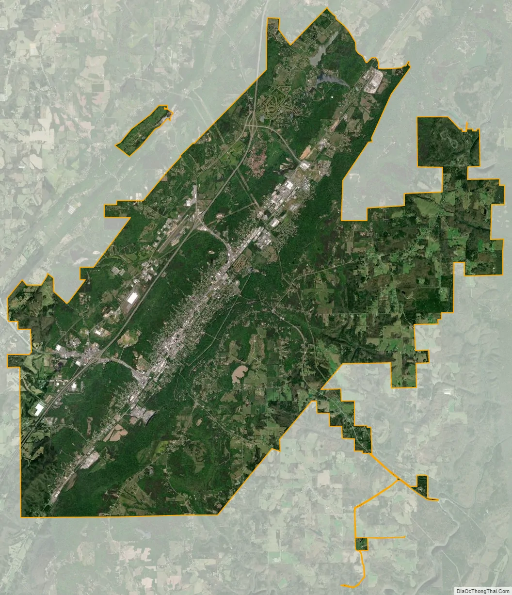
Fort Payne city Satellite Map
Geography
According to the U.S. Census Bureau, the city has a total area of 55.8 square miles (144.6 km), of which 55.5 square miles (143.7 km) is land and 0.35 square miles (0.9 km), or 0.64%, is water.
The city center lies in a narrow valley on Big Wills Creek in the Cumberland Plateau region immediately west of Lookout Mountain, with Sand Mountain at a distance to the west. The city limits reach to the east and south so that more than half of the city’s area is now located on Lookout Mountain. Drainage is through Big Wills Creek to the Coosa River.
A magnitude 4.9 earthquake occurred here in 2003.
Climate
Fort Payne is notable for a subtropical climate. Winters usually feature measurable, though infrequent, snow. Cloudmont Ski Resort on Lookout Mountain generates man-made snow as winter temperatures permit. The area is subject to occasional tornadoes. The city’s northern side was struck by F3 and F4 tornadoes February 29, 1952 and May 19, 1973 respectfully, both of which caused considerable damage. Exactly ten years later, a tornado struck the city again. In the Palm Sunday tornado outbreak of 1994, an F3 tornado passed just west of the city Occasionally, a hurricane that has made landfall in the Gulf of Mexico will reach Fort Payne as a tropical storm or tropical depression. However, in 1995 the eye of Hurricane Opal reached Fort Payne with hurricane-force winds. The 1993 Storm of the Century dumped more than 20 inches (51 cm) of snow on Fort Payne, immobilizing the city and the surrounding area for days. The Köppen Climate Classification subtype for this climate is “Cfa”. (Humid Subtropical Climate).
See also
Map of Alabama State and its subdivision:- Autauga
- Baldwin
- Barbour
- Bibb
- Blount
- Bullock
- Butler
- Calhoun
- Chambers
- Cherokee
- Chilton
- Choctaw
- Clarke
- Clay
- Cleburne
- Coffee
- Colbert
- Conecuh
- Coosa
- Covington
- Crenshaw
- Cullman
- Dale
- Dallas
- De Kalb
- Elmore
- Escambia
- Etowah
- Fayette
- Franklin
- Geneva
- Greene
- Hale
- Henry
- Houston
- Jackson
- Jefferson
- Lamar
- Lauderdale
- Lawrence
- Lee
- Limestone
- Lowndes
- Macon
- Madison
- Marengo
- Marion
- Marshall
- Mobile
- Monroe
- Montgomery
- Morgan
- Perry
- Pickens
- Pike
- Randolph
- Russell
- Saint Clair
- Shelby
- Sumter
- Talladega
- Tallapoosa
- Tuscaloosa
- Walker
- Washington
- Wilcox
- Winston
- Alabama
- Alaska
- Arizona
- Arkansas
- California
- Colorado
- Connecticut
- Delaware
- District of Columbia
- Florida
- Georgia
- Hawaii
- Idaho
- Illinois
- Indiana
- Iowa
- Kansas
- Kentucky
- Louisiana
- Maine
- Maryland
- Massachusetts
- Michigan
- Minnesota
- Mississippi
- Missouri
- Montana
- Nebraska
- Nevada
- New Hampshire
- New Jersey
- New Mexico
- New York
- North Carolina
- North Dakota
- Ohio
- Oklahoma
- Oregon
- Pennsylvania
- Rhode Island
- South Carolina
- South Dakota
- Tennessee
- Texas
- Utah
- Vermont
- Virginia
- Washington
- West Virginia
- Wisconsin
- Wyoming