Lisman is a town in Choctaw County, Alabama, United States. At the 2020 census, the population was 427. Lisman was named after a 19th-century railroad investor at the time of construction of the nearby rail line.
| Name: | Lisman town |
|---|---|
| LSAD Code: | 43 |
| LSAD Description: | town (suffix) |
| State: | Alabama |
| County: | Choctaw County |
| Elevation: | 213 ft (65 m) |
| Total Area: | 2.59 sq mi (6.70 km²) |
| Land Area: | 2.59 sq mi (6.70 km²) |
| Water Area: | 0.00 sq mi (0.00 km²) |
| Total Population: | 427 |
| Population Density: | 165.12/sq mi (63.76/km²) |
| ZIP code: | 36906, 36910, 36912 |
| Area code: | 205, 659 |
| FIPS code: | 0143384 |
| GNISfeature ID: | 2406024 |
Online Interactive Map
Click on ![]() to view map in "full screen" mode.
to view map in "full screen" mode.
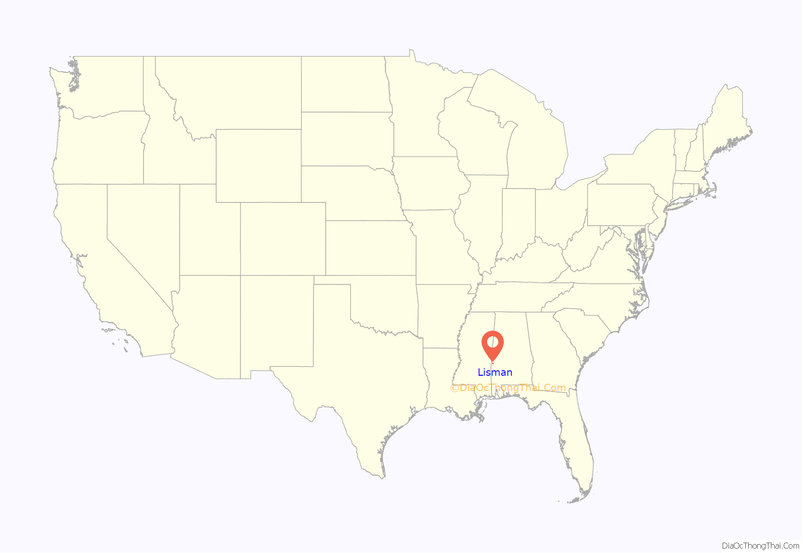
Lisman location map. Where is Lisman town?
History
In 1962, local residents participated in “a federal lawsuit challenging the white Choctaw County registrars who were rejecting 95 percent of black voters’ applications.” Martin Luther King visited the town to lead a rally for voting rights on April 30, 1966.
The town incorporated in 1979, which enabled it to pave its dirt roads, and build sewers.
A 2019 article described Mayor Jason Ward’s plans to hire a police officer and rebuild the abandoned school library.
Lisman was not included in Choctaw County’s new “Opportunity Zones” in 2019.
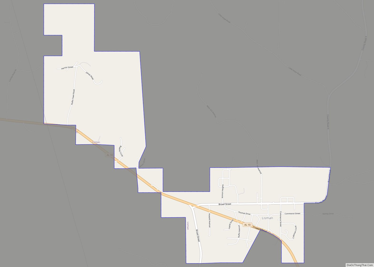
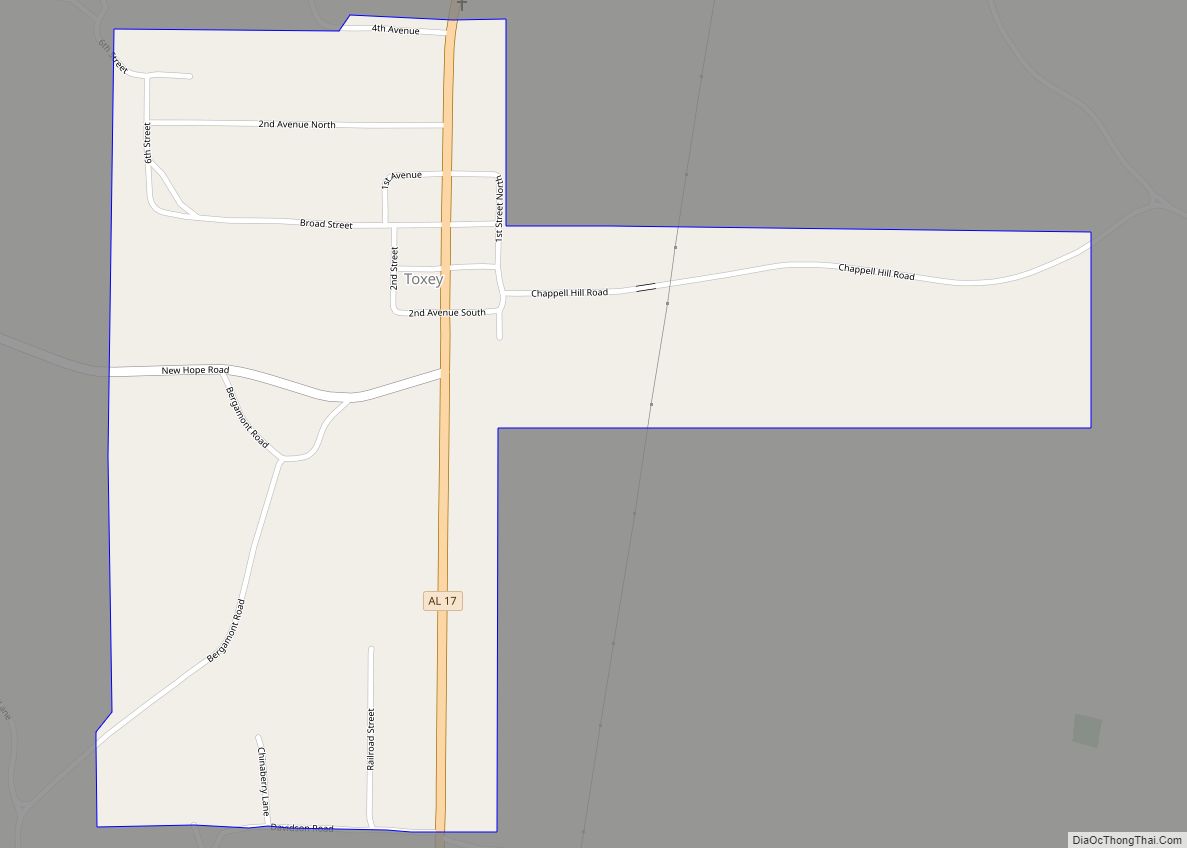
Lisman Road Map
Lisman city Satellite Map
Geography
Lisman is located in northern Choctaw County at 32°10’19.978″ North, 88°17’21.667″ West (32.172216, -88.289352).
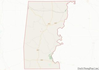
According to the U.S. Census Bureau, the town has a total area of 2.6 square miles (6.7 km), all land.
See also
Map of Alabama State and its subdivision:- Autauga
- Baldwin
- Barbour
- Bibb
- Blount
- Bullock
- Butler
- Calhoun
- Chambers
- Cherokee
- Chilton
- Choctaw
- Clarke
- Clay
- Cleburne
- Coffee
- Colbert
- Conecuh
- Coosa
- Covington
- Crenshaw
- Cullman
- Dale
- Dallas
- De Kalb
- Elmore
- Escambia
- Etowah
- Fayette
- Franklin
- Geneva
- Greene
- Hale
- Henry
- Houston
- Jackson
- Jefferson
- Lamar
- Lauderdale
- Lawrence
- Lee
- Limestone
- Lowndes
- Macon
- Madison
- Marengo
- Marion
- Marshall
- Mobile
- Monroe
- Montgomery
- Morgan
- Perry
- Pickens
- Pike
- Randolph
- Russell
- Saint Clair
- Shelby
- Sumter
- Talladega
- Tallapoosa
- Tuscaloosa
- Walker
- Washington
- Wilcox
- Winston
- Alabama
- Alaska
- Arizona
- Arkansas
- California
- Colorado
- Connecticut
- Delaware
- District of Columbia
- Florida
- Georgia
- Hawaii
- Idaho
- Illinois
- Indiana
- Iowa
- Kansas
- Kentucky
- Louisiana
- Maine
- Maryland
- Massachusetts
- Michigan
- Minnesota
- Mississippi
- Missouri
- Montana
- Nebraska
- Nevada
- New Hampshire
- New Jersey
- New Mexico
- New York
- North Carolina
- North Dakota
- Ohio
- Oklahoma
- Oregon
- Pennsylvania
- Rhode Island
- South Carolina
- South Dakota
- Tennessee
- Texas
- Utah
- Vermont
- Virginia
- Washington
- West Virginia
- Wisconsin
- Wyoming
