Northport is a city in Tuscaloosa County in the west central part of the State of Alabama. Located on the Black Warrior River across from downtown Tuscaloosa, it is currently the 21st largest city in Alabama with an estimated population of 26,115 in 2019. It incorporated in 1871. It is part of the Tuscaloosa Metropolitan Statistical Area.
| Name: | Northport city |
|---|---|
| LSAD Code: | 25 |
| LSAD Description: | city (suffix) |
| State: | Alabama |
| County: | Tuscaloosa County |
| Elevation: | 220 ft (70 m) |
| Land Area: | 17.49 sq mi (45.29 km²) |
| Water Area: | 0.39 sq mi (1.01 km²) |
| Population Density: | 1,780.00/sq mi (687.25/km²) |
| ZIP code: | 35473, 35475, 35476 |
| Area code: | 205 & 659 |
| FIPS code: | 0155200 |
| GNISfeature ID: | 0152708 |
| Website: | www.cityofnorthport.org |
Online Interactive Map
Click on ![]() to view map in "full screen" mode.
to view map in "full screen" mode.
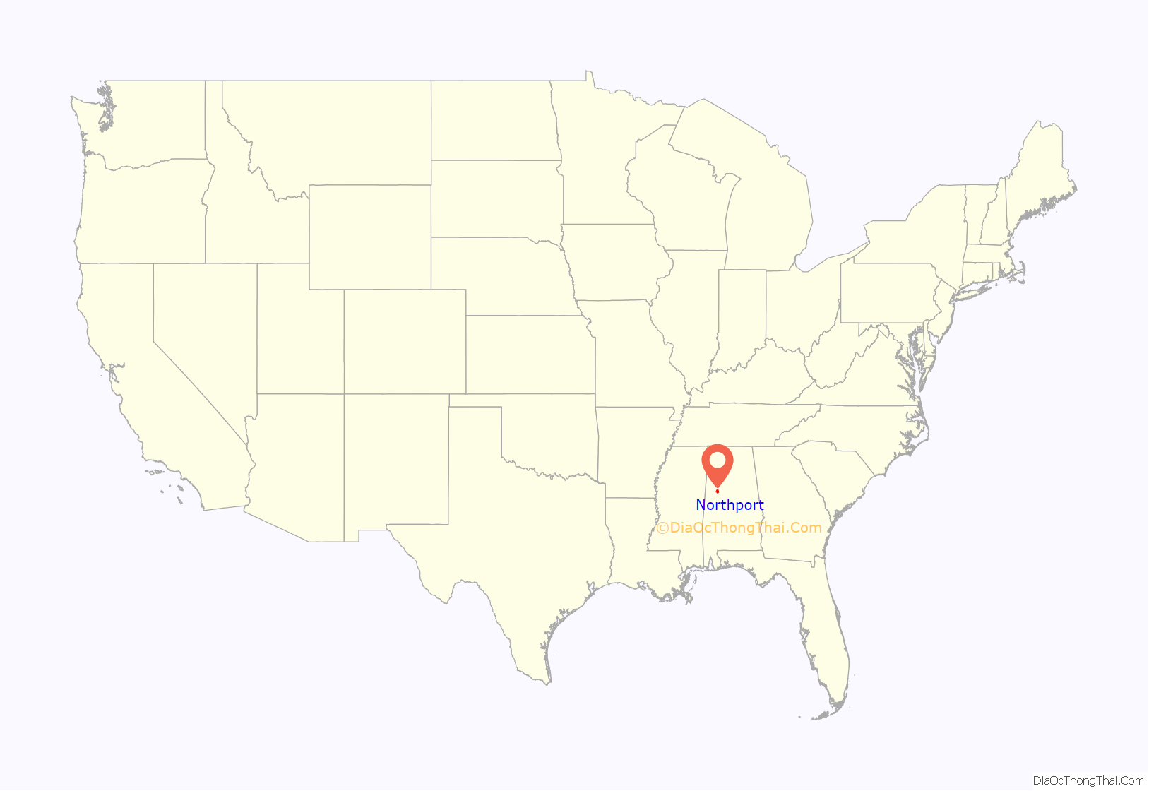
Northport location map. Where is Northport city?
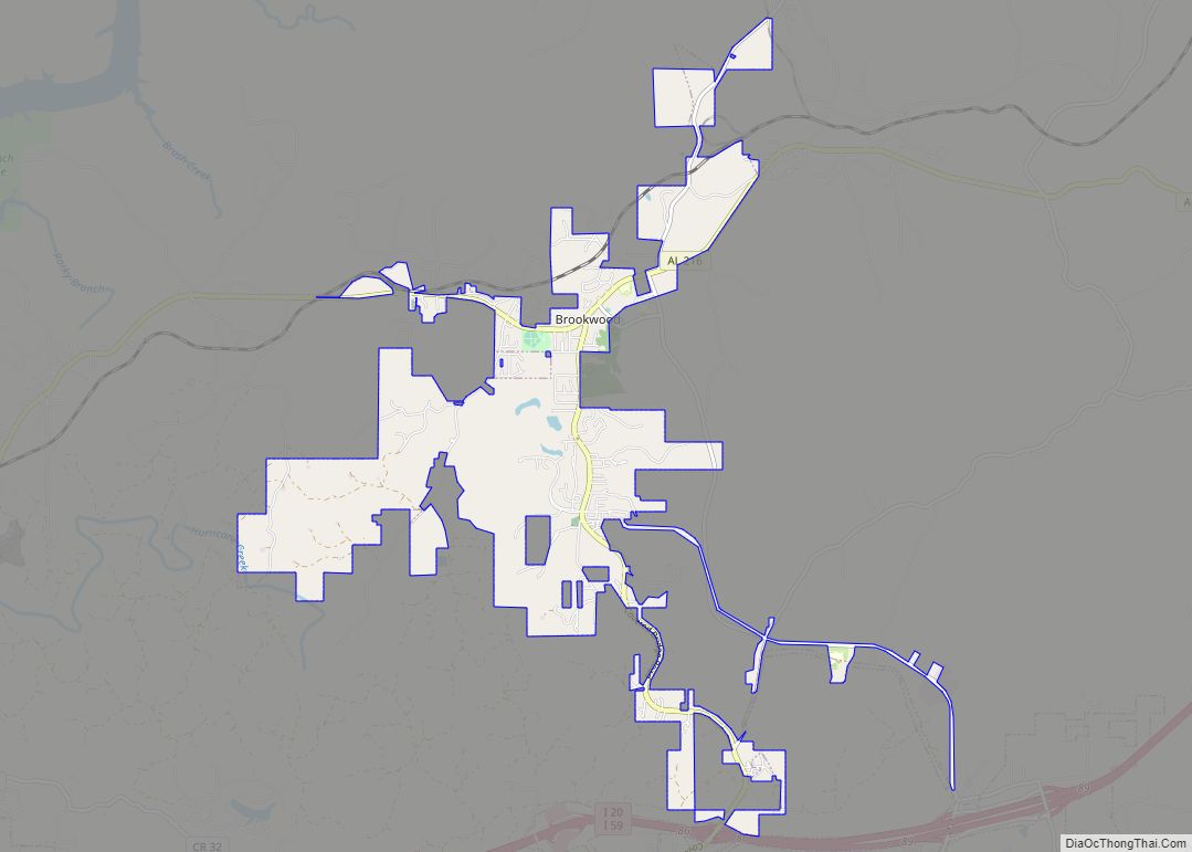
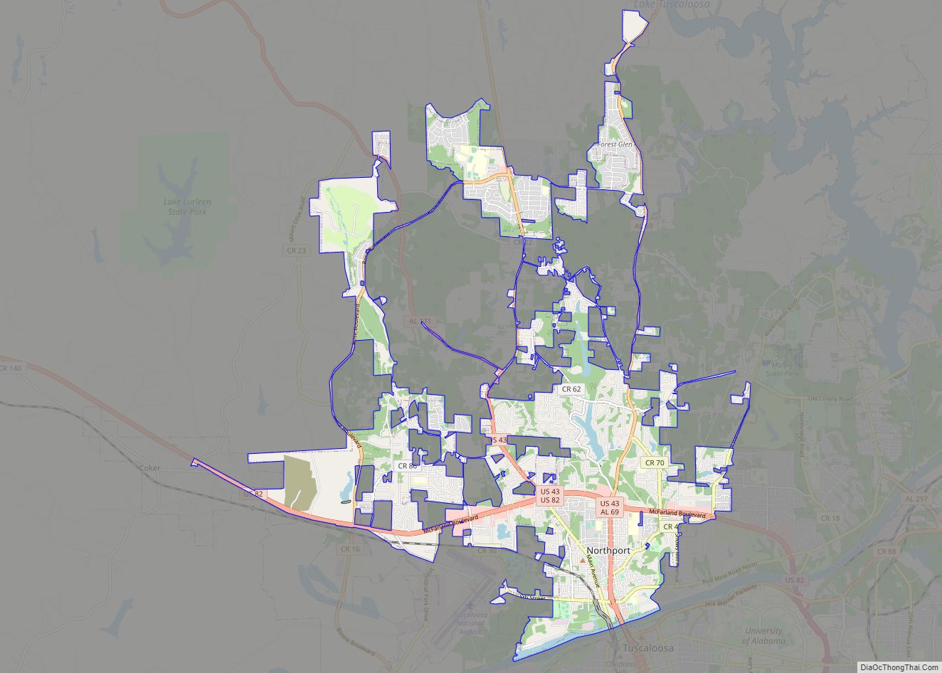
Northport Road Map
Northport city Satellite Map
Geography
As Northport is adjacent to the larger city of Tuscaloosa, many residents work in Tuscaloosa or other parts of Tuscaloosa County. Although the two cities share a land boundary, much of their boundary (and historically all of the boundary) is the Black Warrior River. The cities of Tuscaloosa and Northport grew at the historical head of navigation at the fall line between the Appalachian Highlands (specifically, the Cumberland Plateau) and the Gulf Coastal Plain, with Northport on the north bank of the river.
According to the U.S. Census Bureau, the city has a total area of 14.9 square miles (39 km), of which 14.6 square miles (38 km) is land and 0.2 square miles (0.52 km) (1.48%) is water.
See also
Map of Alabama State and its subdivision:- Autauga
- Baldwin
- Barbour
- Bibb
- Blount
- Bullock
- Butler
- Calhoun
- Chambers
- Cherokee
- Chilton
- Choctaw
- Clarke
- Clay
- Cleburne
- Coffee
- Colbert
- Conecuh
- Coosa
- Covington
- Crenshaw
- Cullman
- Dale
- Dallas
- De Kalb
- Elmore
- Escambia
- Etowah
- Fayette
- Franklin
- Geneva
- Greene
- Hale
- Henry
- Houston
- Jackson
- Jefferson
- Lamar
- Lauderdale
- Lawrence
- Lee
- Limestone
- Lowndes
- Macon
- Madison
- Marengo
- Marion
- Marshall
- Mobile
- Monroe
- Montgomery
- Morgan
- Perry
- Pickens
- Pike
- Randolph
- Russell
- Saint Clair
- Shelby
- Sumter
- Talladega
- Tallapoosa
- Tuscaloosa
- Walker
- Washington
- Wilcox
- Winston
- Alabama
- Alaska
- Arizona
- Arkansas
- California
- Colorado
- Connecticut
- Delaware
- District of Columbia
- Florida
- Georgia
- Hawaii
- Idaho
- Illinois
- Indiana
- Iowa
- Kansas
- Kentucky
- Louisiana
- Maine
- Maryland
- Massachusetts
- Michigan
- Minnesota
- Mississippi
- Missouri
- Montana
- Nebraska
- Nevada
- New Hampshire
- New Jersey
- New Mexico
- New York
- North Carolina
- North Dakota
- Ohio
- Oklahoma
- Oregon
- Pennsylvania
- Rhode Island
- South Carolina
- South Dakota
- Tennessee
- Texas
- Utah
- Vermont
- Virginia
- Washington
- West Virginia
- Wisconsin
- Wyoming
