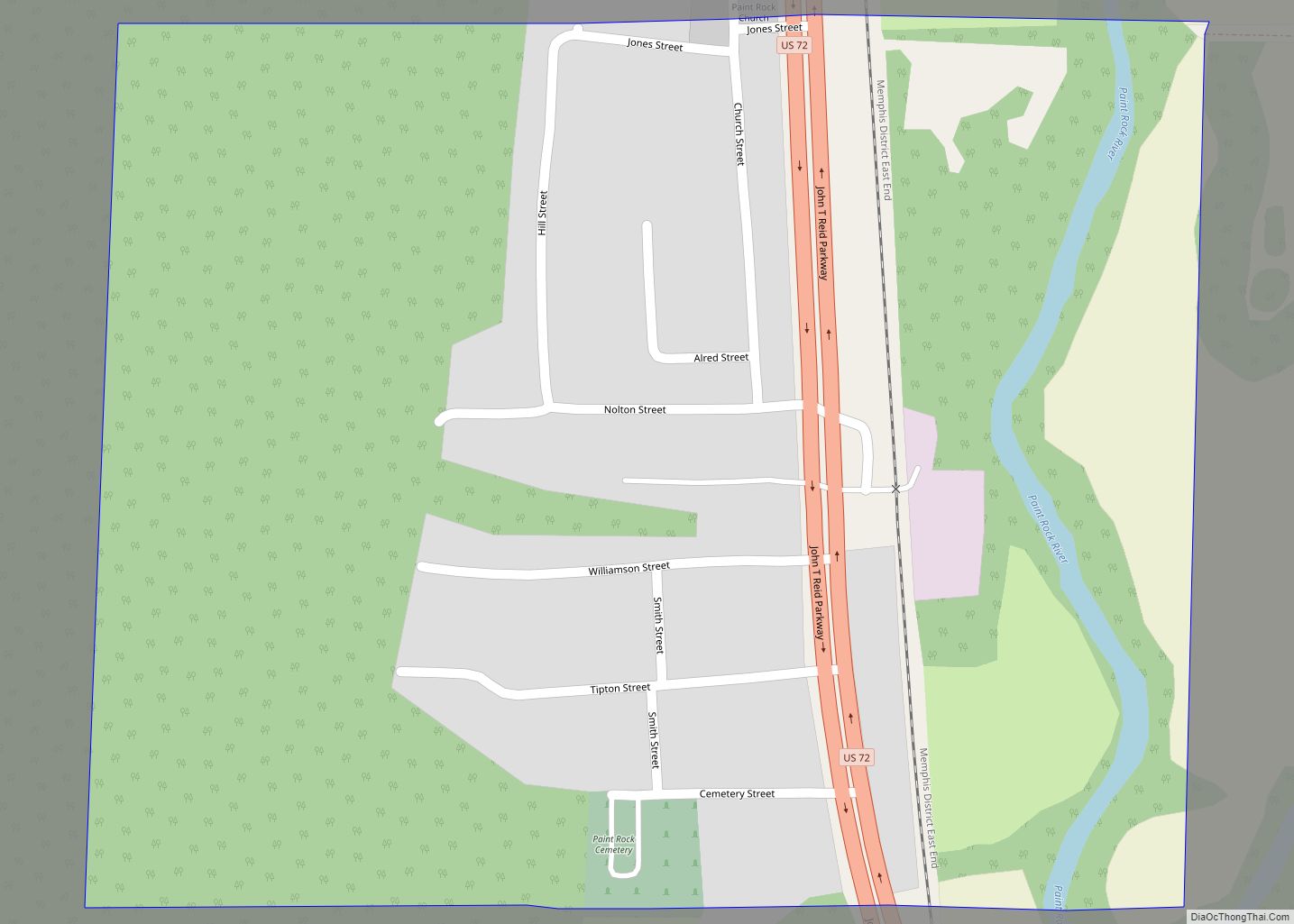
Paint Rock is a town in Jackson County, Alabama, United States, along the Paint Rock River, and is included in the Huntsville-Decatur Combined Statistical Area. It was incorporated in July 1894.
As of the 2010 census, the population of the town was 210, up from 185 in 2000. This was the first time in 100 years it increased in population. Out of 13 incorporated communities in Jackson County, it is the least populated. Its peak population was in 1910 when it had 534 people and was the 4th largest town in the county.
Paint Rock is the location where the Scottsboro Boys were arrested.
| Name: | Paint Rock town |
|---|---|
| LSAD Code: | 43 |
| LSAD Description: | town (suffix) |
| State: | Alabama |
| County: | Jackson County |
| Elevation: | 610 ft (186 m) |
| Total Area: | 0.44 sq mi (1.15 km²) |
| Land Area: | 0.43 sq mi (1.12 km²) |
| Water Area: | 0.01 sq mi (0.02 km²) |
| Total Population: | 182 |
| Population Density: | 420.32/sq mi (162.12/km²) |
| ZIP code: | 35764 |
| Area code: | 256 |
| FIPS code: | 0157696 |
| GNISfeature ID: | 0154485 |
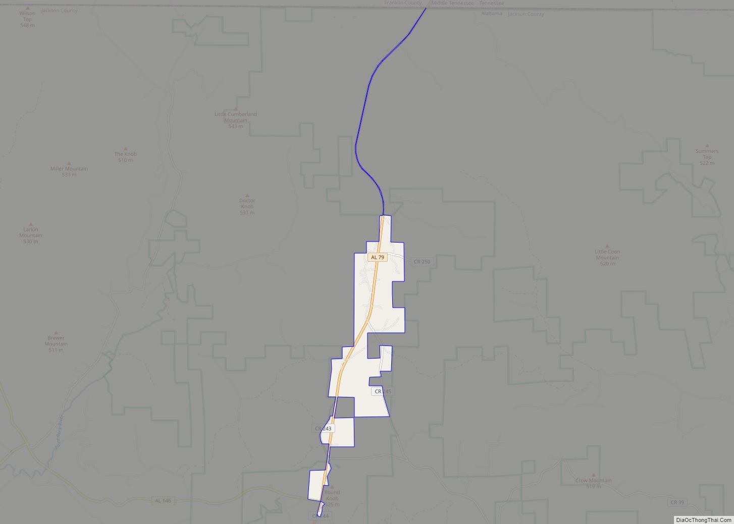
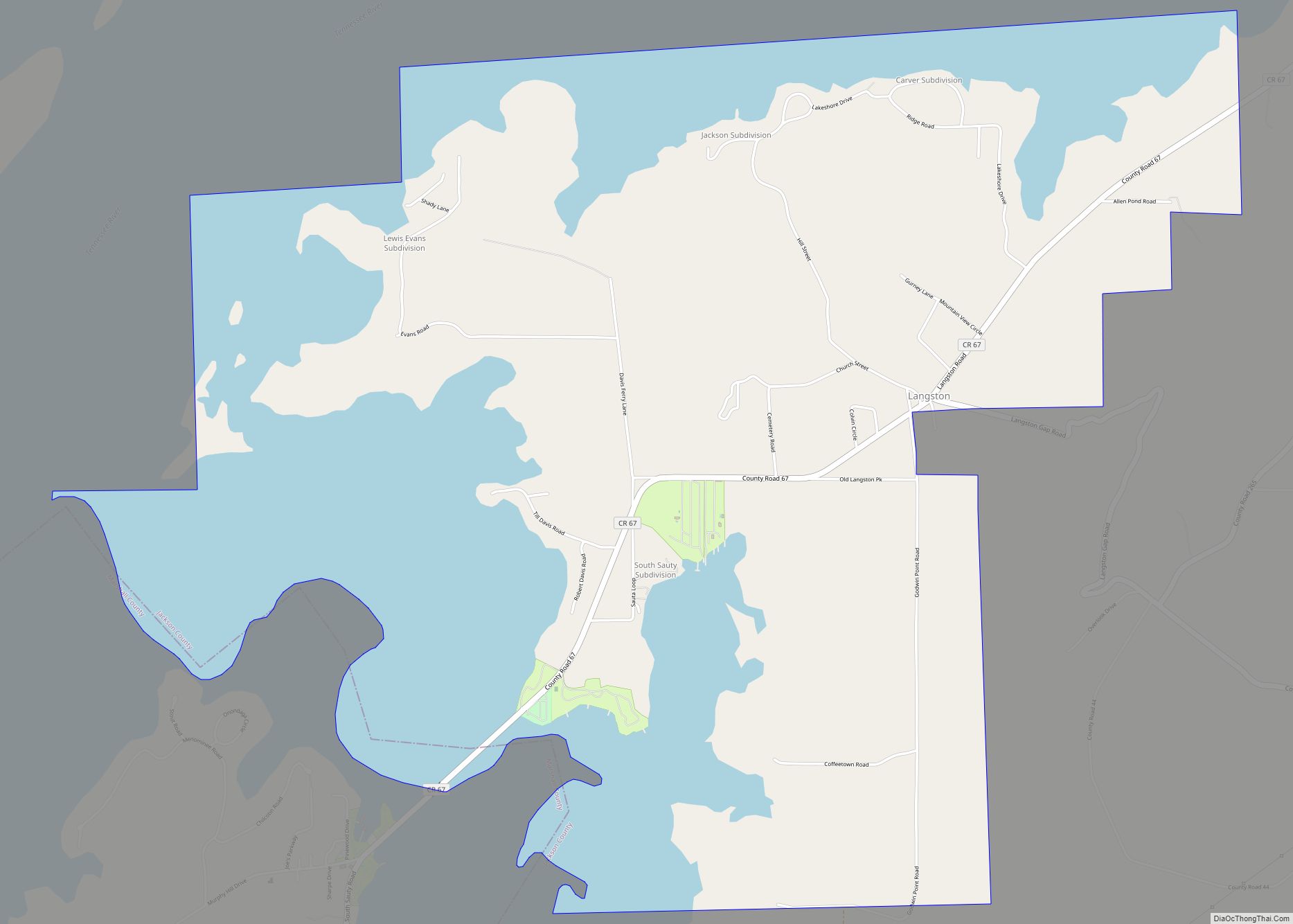
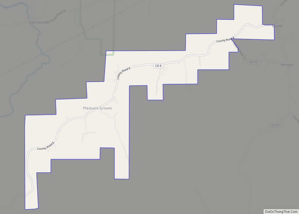
Online Interactive Map
Click on ![]() to view map in "full screen" mode.
to view map in "full screen" mode.
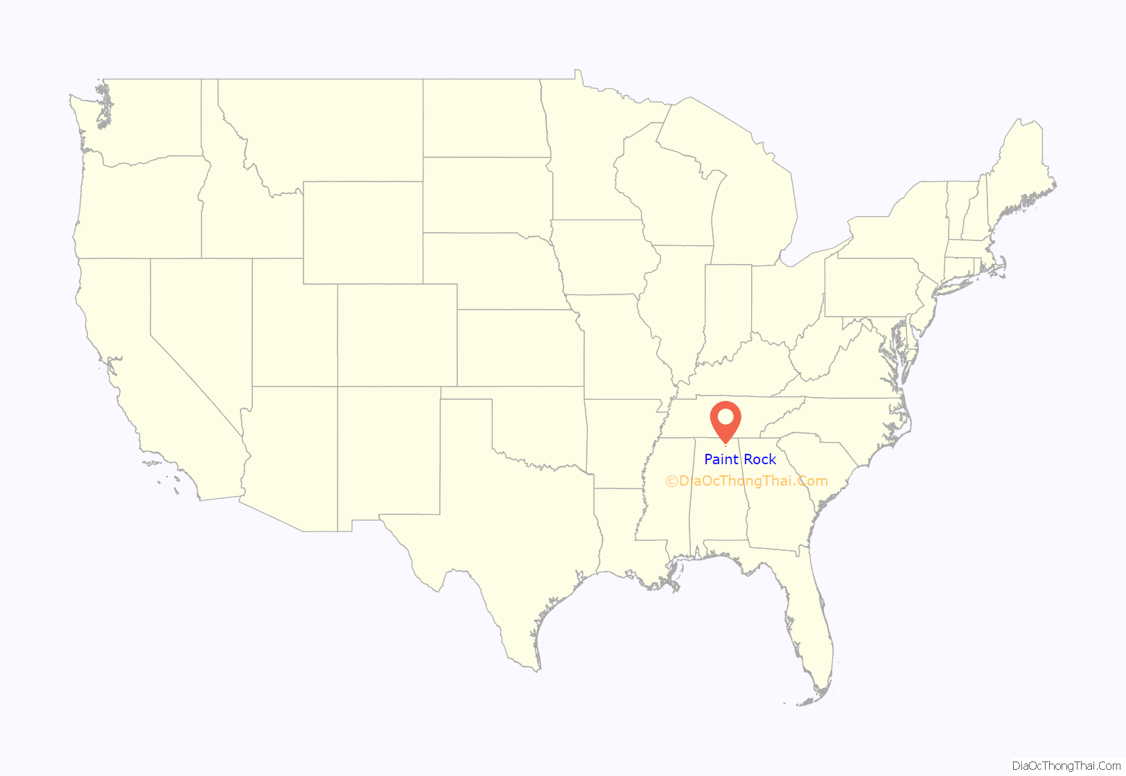
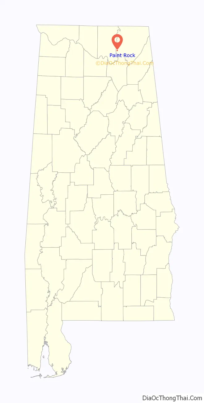
Paint Rock location map. Where is Paint Rock town?
History
Paint Rock was settled in the 1820s, and was initially known as “Camden.” A post office was established in 1836, and a railroad depot was constructed in 1856. The name was changed from Camden to “Paint Rock” in 1876.
Ray Albright (1934-2017), Tennessee state legislator and businessman, was born in Paint Rock.
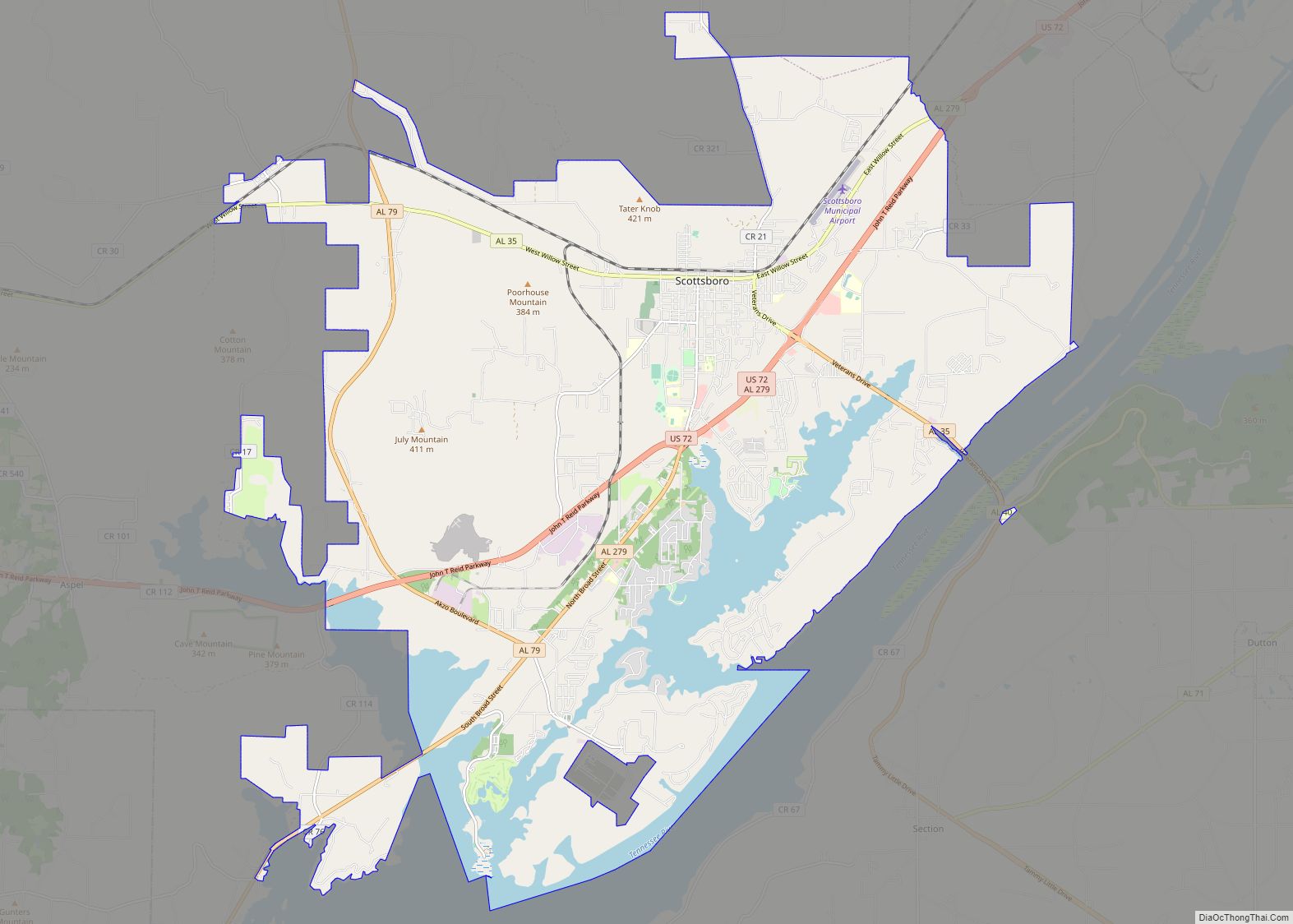
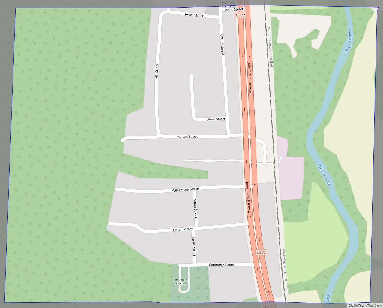
Paint Rock Road Map
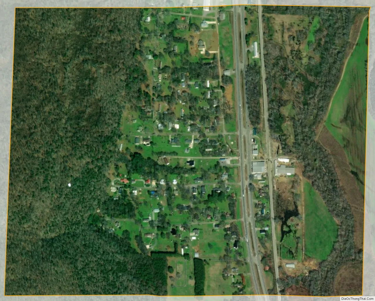
Paint Rock city Satellite Map
Geography
Paint Rock is located at 34°39′37″N 86°19′41″W / 34.66028°N 86.32806°W / 34.66028; -86.32806 (34.660172, -86.328018). The town is situated along the Paint Rock River in a relatively narrow valley between Keel Mountain to the west and the Cumberland Plateau to the east. Gurley lies to the northwest, Woodville lies to the southeast, and Owens Cross Roads lies across Keel Mountain to the southwest. The Fern Cave National Wildlife Refuge is located along the base of the Cumberland Plateau just east of Paint Rock. U.S. Route 72 passes through Paint Rock, connecting the town with Scottsboro to the east and Huntsville to the west.
According to the U.S. Census Bureau, the town has a total area of 0.4 square miles (1.0 km), all land.
See also
Map of Alabama State and its subdivision:- Autauga
- Baldwin
- Barbour
- Bibb
- Blount
- Bullock
- Butler
- Calhoun
- Chambers
- Cherokee
- Chilton
- Choctaw
- Clarke
- Clay
- Cleburne
- Coffee
- Colbert
- Conecuh
- Coosa
- Covington
- Crenshaw
- Cullman
- Dale
- Dallas
- De Kalb
- Elmore
- Escambia
- Etowah
- Fayette
- Franklin
- Geneva
- Greene
- Hale
- Henry
- Houston
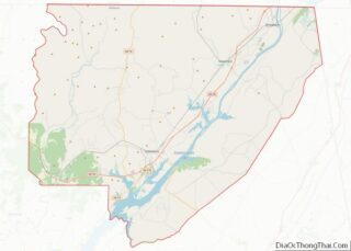
- Jackson
- Jefferson
- Lamar
- Lauderdale
- Lawrence
- Lee
- Limestone
- Lowndes
- Macon
- Madison
- Marengo
- Marion
- Marshall
- Mobile
- Monroe
- Montgomery
- Morgan
- Perry
- Pickens
- Pike
- Randolph
- Russell
- Saint Clair
- Shelby
- Sumter
- Talladega
- Tallapoosa
- Tuscaloosa
- Walker
- Washington
- Wilcox
- Winston
- Alabama
- Alaska
- Arizona
- Arkansas
- California
- Colorado
- Connecticut
- Delaware
- District of Columbia
- Florida
- Georgia
- Hawaii
- Idaho
- Illinois
- Indiana
- Iowa
- Kansas
- Kentucky
- Louisiana
- Maine
- Maryland
- Massachusetts
- Michigan
- Minnesota
- Mississippi
- Missouri
- Montana
- Nebraska
- Nevada
- New Hampshire
- New Jersey
- New Mexico
- New York
- North Carolina
- North Dakota
- Ohio
- Oklahoma
- Oregon
- Pennsylvania
- Rhode Island
- South Carolina
- South Dakota
- Tennessee
- Texas
- Utah
- Vermont
- Virginia
- Washington
- West Virginia
- Wisconsin
- Wyoming