Pine Apple is a town in Wilcox County, Alabama, United States. It incorporated in 1872. Per the 2020 census, the population was 143. It has two places on the National Register of Historic Places, the Hawthorne House and the Pine Apple Historic District.
| Name: | Pine Apple town |
|---|---|
| LSAD Code: | 43 |
| LSAD Description: | town (suffix) |
| State: | Alabama |
| County: | Wilcox County |
| Elevation: | 302 ft (92 m) |
| Total Area: | 3.10 sq mi (8.03 km²) |
| Land Area: | 3.10 sq mi (8.03 km²) |
| Water Area: | 0.00 sq mi (0.00 km²) |
| Total Population: | 143 |
| Population Density: | 46.13/sq mi (17.81/km²) |
| ZIP code: | 36768 |
| Area code: | 251 |
| FIPS code: | 0159880 |
| GNISfeature ID: | 0152909 |
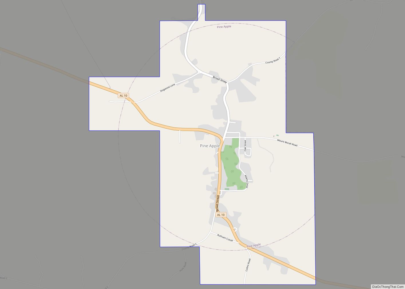
Online Interactive Map
Click on ![]() to view map in "full screen" mode.
to view map in "full screen" mode.
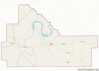
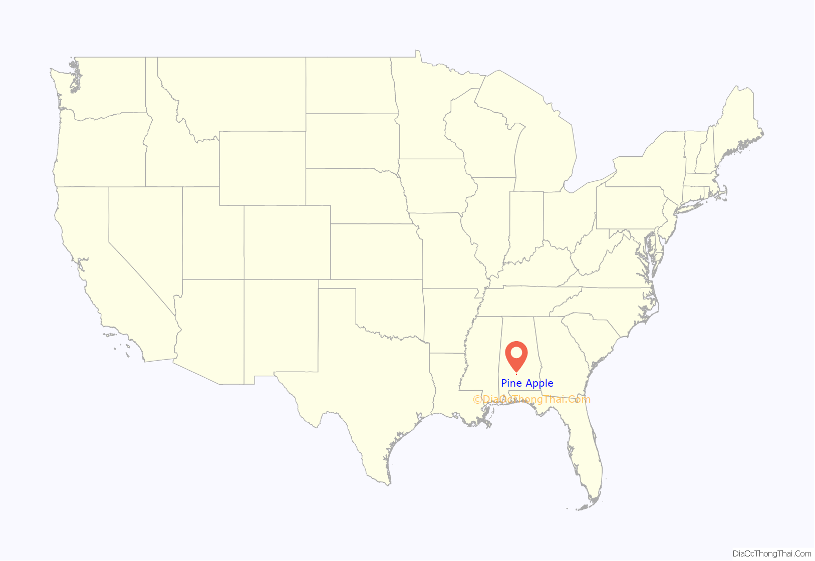
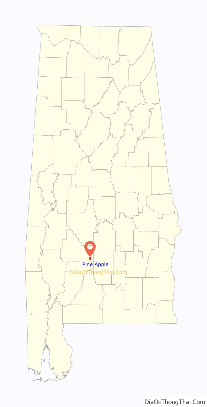
Pine Apple location map. Where is Pine Apple town?
History
Pine Apple was originally called Friendship, and under the latter name was laid out in 1825. The present name was given in 1852 on account of there being pine and apple groves near the town site.
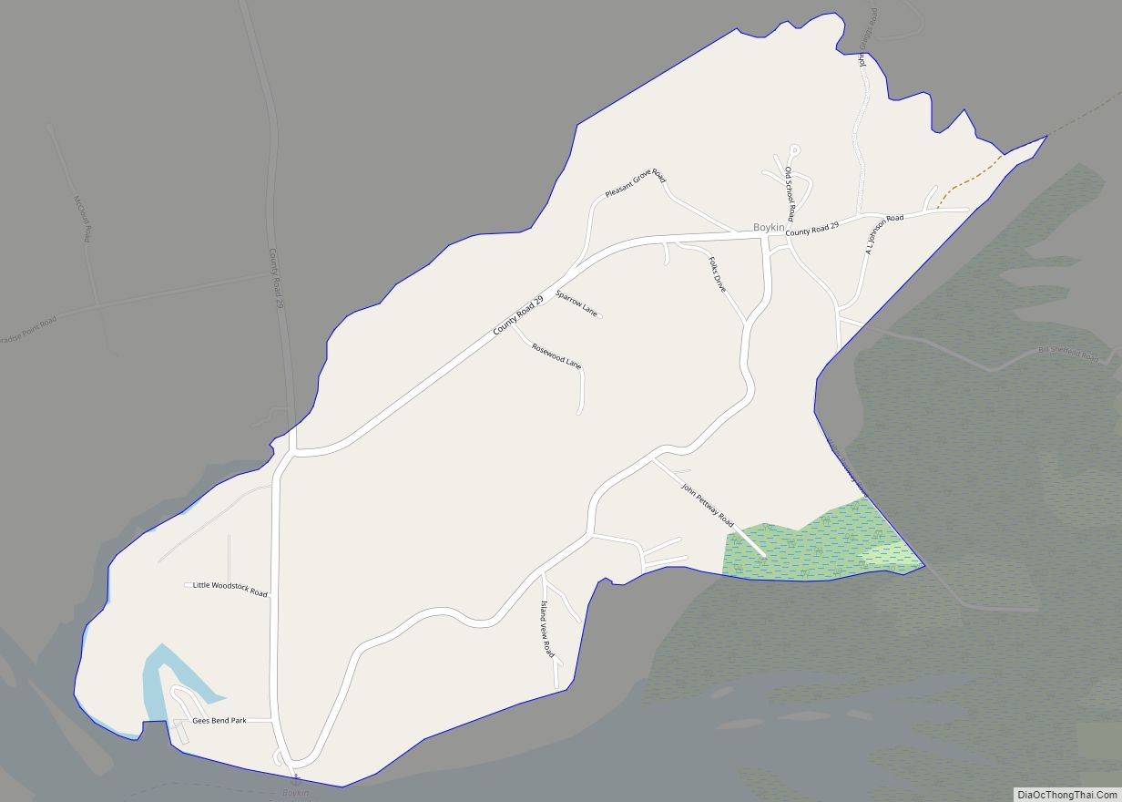
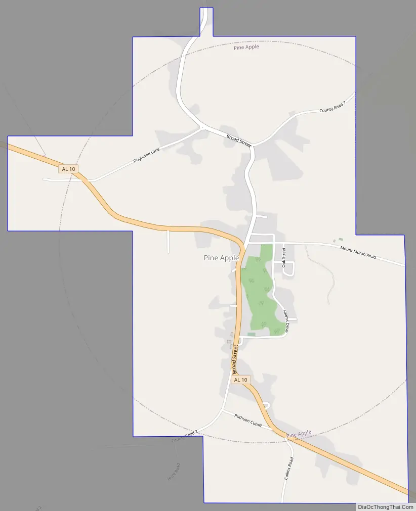
Pine Apple Road Map
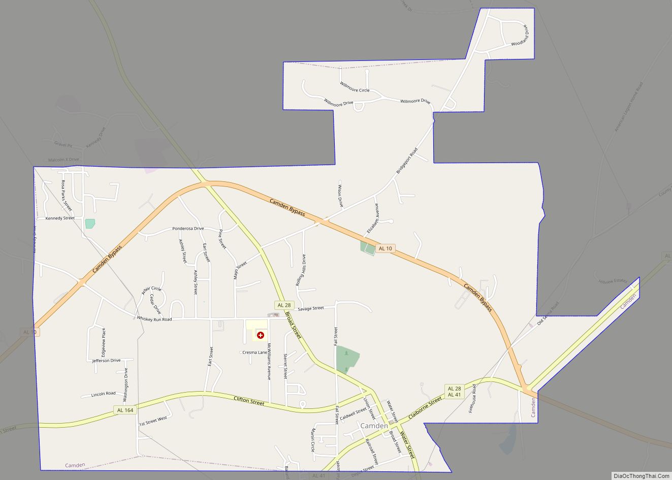
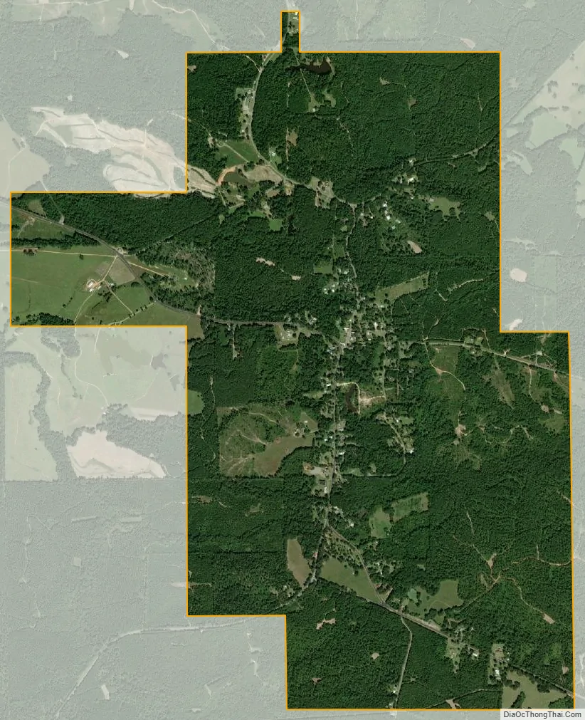
Pine Apple city Satellite Map
Geography
Pine Apple is located at 31°52′4″N 86°59′15″W / 31.86778°N 86.98750°W / 31.86778; -86.98750 (31.867882, -86.987624).
According to the U.S. Census Bureau, the town has a total area of 3.1 square miles (8.0 km), all land.
See also
Map of Alabama State and its subdivision:- Autauga
- Baldwin
- Barbour
- Bibb
- Blount
- Bullock
- Butler
- Calhoun
- Chambers
- Cherokee
- Chilton
- Choctaw
- Clarke
- Clay
- Cleburne
- Coffee
- Colbert
- Conecuh
- Coosa
- Covington
- Crenshaw
- Cullman
- Dale
- Dallas
- De Kalb
- Elmore
- Escambia
- Etowah
- Fayette
- Franklin
- Geneva
- Greene
- Hale
- Henry
- Houston
- Jackson
- Jefferson
- Lamar
- Lauderdale
- Lawrence
- Lee
- Limestone
- Lowndes
- Macon
- Madison
- Marengo
- Marion
- Marshall
- Mobile
- Monroe
- Montgomery
- Morgan
- Perry
- Pickens
- Pike
- Randolph
- Russell
- Saint Clair
- Shelby
- Sumter
- Talladega
- Tallapoosa
- Tuscaloosa
- Walker
- Washington
- Wilcox
- Winston
- Alabama
- Alaska
- Arizona
- Arkansas
- California
- Colorado
- Connecticut
- Delaware
- District of Columbia
- Florida
- Georgia
- Hawaii
- Idaho
- Illinois
- Indiana
- Iowa
- Kansas
- Kentucky
- Louisiana
- Maine
- Maryland
- Massachusetts
- Michigan
- Minnesota
- Mississippi
- Missouri
- Montana
- Nebraska
- Nevada
- New Hampshire
- New Jersey
- New Mexico
- New York
- North Carolina
- North Dakota
- Ohio
- Oklahoma
- Oregon
- Pennsylvania
- Rhode Island
- South Carolina
- South Dakota
- Tennessee
- Texas
- Utah
- Vermont
- Virginia
- Washington
- West Virginia
- Wisconsin
- Wyoming