Satsuma is a city in Mobile County, Alabama, United States. At the 2020 census, the population was 6,749, up from 6,168 at the 2010 census. Known prior to 1915 as “Fig Tree Island”, the city was named after the satsuma orange, which was successfully cultivated and grown in Alabama starting in 1878, a gift from Emperor Meiji of Japan. Satsuma is a part of the Mobile metropolitan area.
| Name: | Satsuma city |
|---|---|
| LSAD Code: | 25 |
| LSAD Description: | city (suffix) |
| State: | Alabama |
| County: | Mobile County |
| Elevation: | 13 ft (4 m) |
| Total Area: | 7.40 sq mi (19.16 km²) |
| Land Area: | 7.35 sq mi (19.03 km²) |
| Water Area: | 0.05 sq mi (0.13 km²) |
| Total Population: | 6,749 |
| Population Density: | 918.48/sq mi (354.62/km²) |
| ZIP code: | 36572 |
| Area code: | 251 |
| FIPS code: | 0168352 |
| GNISfeature ID: | 0126426 |
| Website: | www.cityofsatsuma.com |
Online Interactive Map
Click on ![]() to view map in "full screen" mode.
to view map in "full screen" mode.
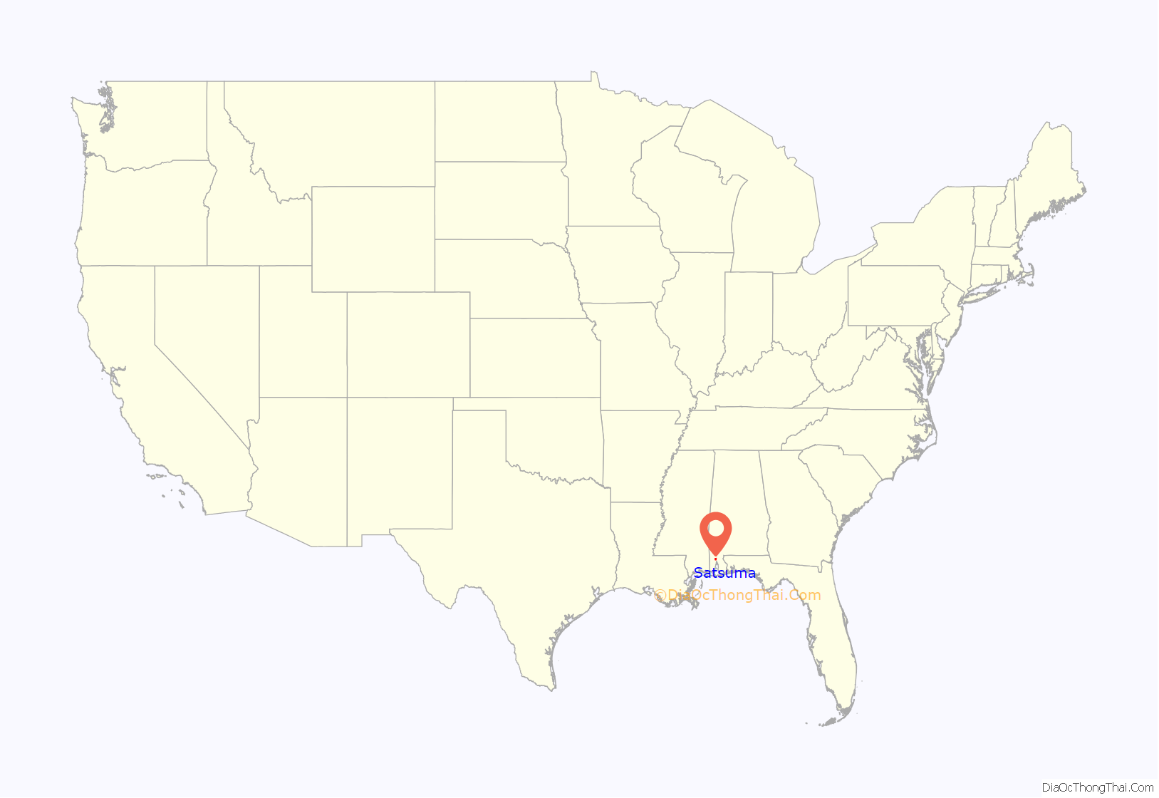
Satsuma location map. Where is Satsuma city?
History
The area was inhabited for thousands of years by differing cultures of indigenous peoples.
- 1878 – Farmers introduced Mandarin Satsuma oranges to Alabama from Japan for cultivation.
- 1900 – Satsuma area known as Fig Tree Island
- 1910 – Pace Orange Orchard had about 100 acres (0.40 km) of pecans and satsuma trees on the area.
- 1915 – Town named “Satsuma”
- 1918 – Norman E. McConaghy hired as manager of the Satsuma Orange & Pecan Groves Company
- 1922 – Packing house built; still stands above Mac’s Landing
- 1912-1924 – Satsuma trees damaged by cold weather and citrus canker
- 1959 – Plans for a town charter submitted to the County of Mobile and the State of Alabama were approved. April 6, 1959, was the first municipal election.
- 2011 – Satsuma breaks away from the Mobile County school system and starts working on its own curriculum.
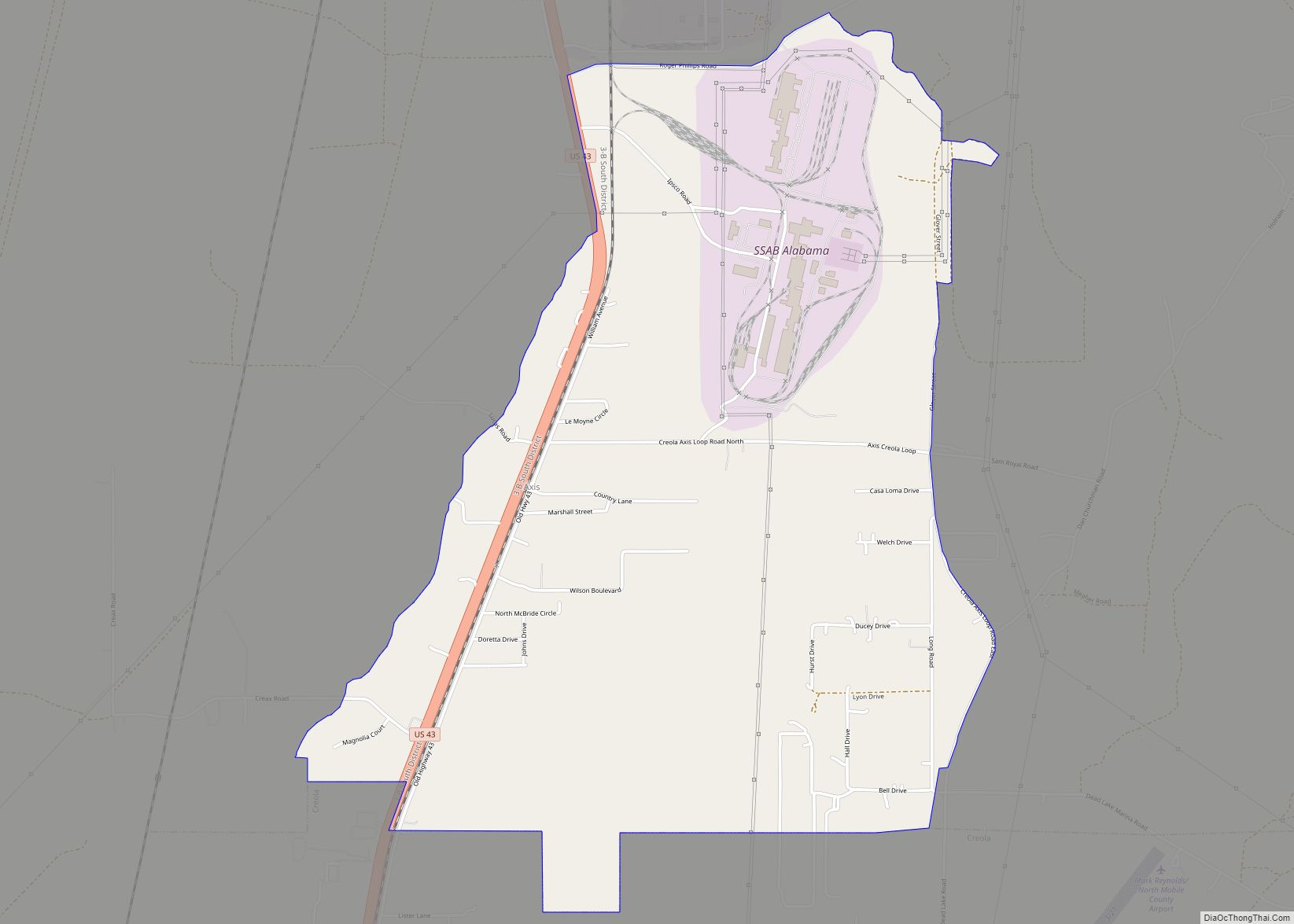
Satsuma Road Map
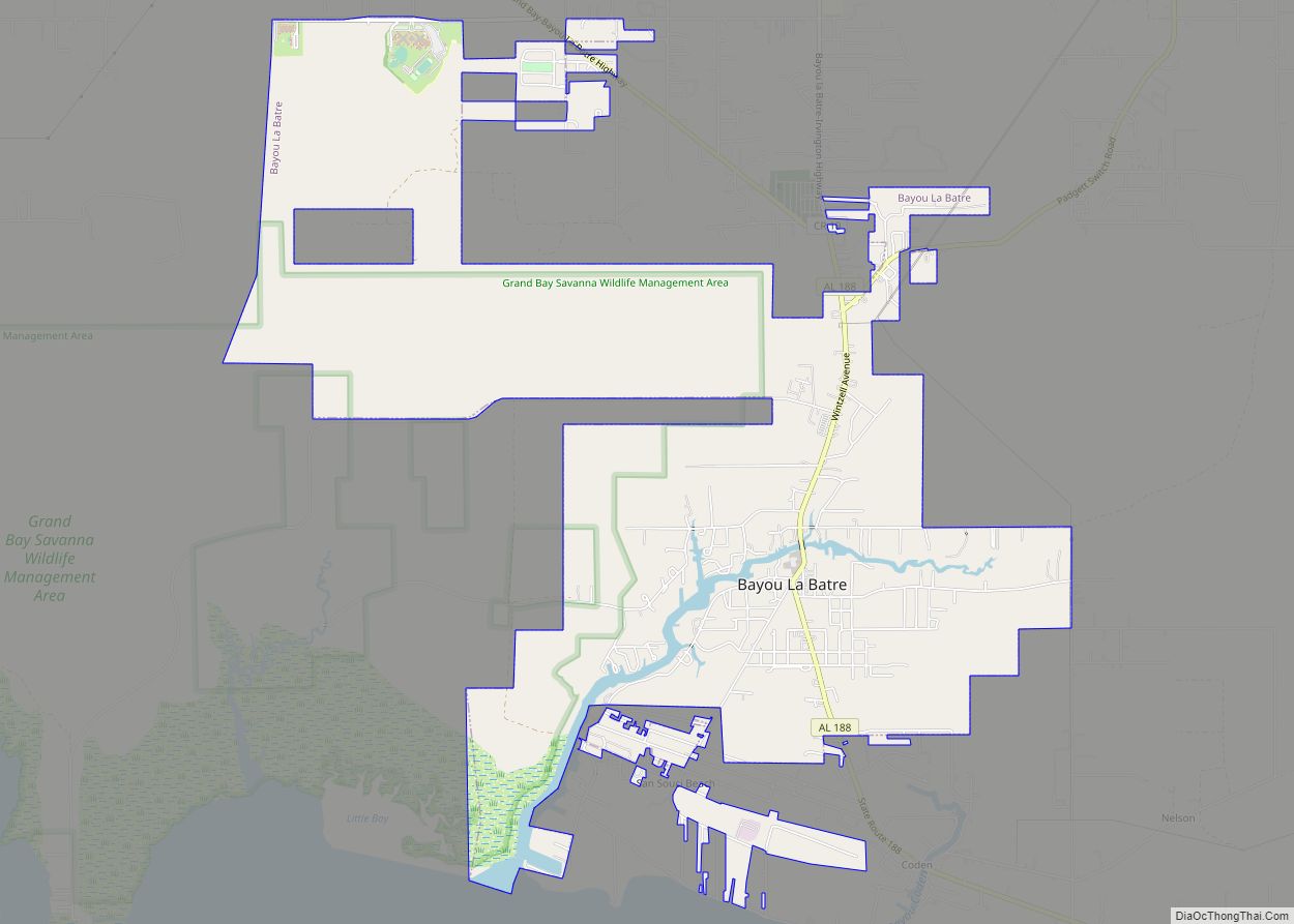
Satsuma city Satellite Map
Geography
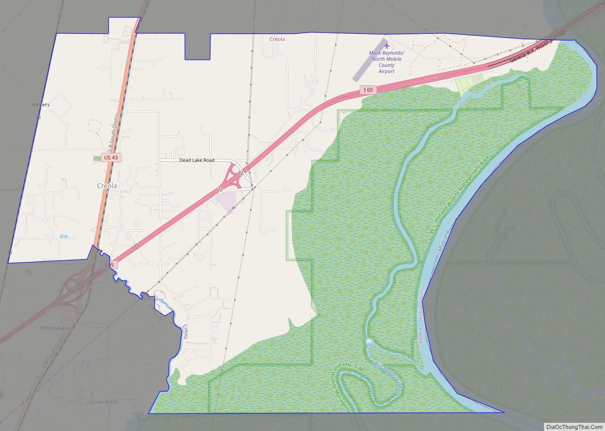
Satsuma is in northeastern Mobile County; it is bordered to the southwest by Saraland, to the northeast by Creola, and to the southeast by an undeveloped extension of the city of Mobile. U.S. Route 43 and Interstate 65 are the main highways through Saraland, intersecting at the northern edge of the city. Downtown Mobile is 13 miles (21 km) to the south.
According to the U.S. Census Bureau, Satsuma has a total area of 7.4 square miles (19 km), of which 0.05 square miles (0.13 km), or 0.68%, are water. The city is bordered to the east by Gunnison Creek, a tidal tributary of Bayou Sara, which leads to the Mobile River.
See also
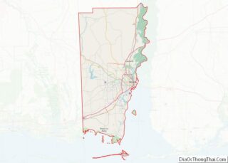
Map of Alabama State and its subdivision:- Autauga
- Baldwin
- Barbour
- Bibb
- Blount
- Bullock
- Butler
- Calhoun
- Chambers
- Cherokee
- Chilton
- Choctaw
- Clarke
- Clay
- Cleburne
- Coffee
- Colbert
- Conecuh
- Coosa
- Covington
- Crenshaw
- Cullman
- Dale
- Dallas
- De Kalb
- Elmore
- Escambia
- Etowah
- Fayette
- Franklin
- Geneva
- Greene
- Hale
- Henry
- Houston
- Jackson
- Jefferson
- Lamar
- Lauderdale
- Lawrence
- Lee
- Limestone
- Lowndes
- Macon
- Madison
- Marengo
- Marion
- Marshall
- Mobile
- Monroe
- Montgomery
- Morgan
- Perry
- Pickens
- Pike
- Randolph
- Russell
- Saint Clair
- Shelby
- Sumter
- Talladega
- Tallapoosa
- Tuscaloosa
- Walker
- Washington
- Wilcox
- Winston
- Alabama
- Alaska
- Arizona
- Arkansas
- California
- Colorado
- Connecticut
- Delaware
- District of Columbia
- Florida
- Georgia
- Hawaii
- Idaho
- Illinois
- Indiana
- Iowa
- Kansas
- Kentucky
- Louisiana
- Maine
- Maryland
- Massachusetts
- Michigan
- Minnesota
- Mississippi
- Missouri
- Montana
- Nebraska
- Nevada
- New Hampshire
- New Jersey
- New Mexico
- New York
- North Carolina
- North Dakota
- Ohio
- Oklahoma
- Oregon
- Pennsylvania
- Rhode Island
- South Carolina
- South Dakota
- Tennessee
- Texas
- Utah
- Vermont
- Virginia
- Washington
- West Virginia
- Wisconsin
- Wyoming
