Shorter is a town in Macon County, Alabama, United States. At the 2020 census the population was 385, down from 474 at the 2010 census. According to the 1990 U.S. Census records, it was incorporated in 1984.
| Name: | Shorter town |
|---|---|
| LSAD Code: | 43 |
| LSAD Description: | town (suffix) |
| State: | Alabama |
| County: | Macon County |
| Elevation: | 367 ft (112 m) |
| Total Area: | 4.57 sq mi (11.83 km²) |
| Land Area: | 4.54 sq mi (11.76 km²) |
| Water Area: | 0.03 sq mi (0.07 km²) |
| Total Population: | 385 |
| Population Density: | 84.8/sq mi (32.75/km²) |
| ZIP code: | 36075 |
| Area code: | 334 |
| FIPS code: | 0170128 |
| GNISfeature ID: | 0126817 |
| Website: | www.shorteralabama.com |
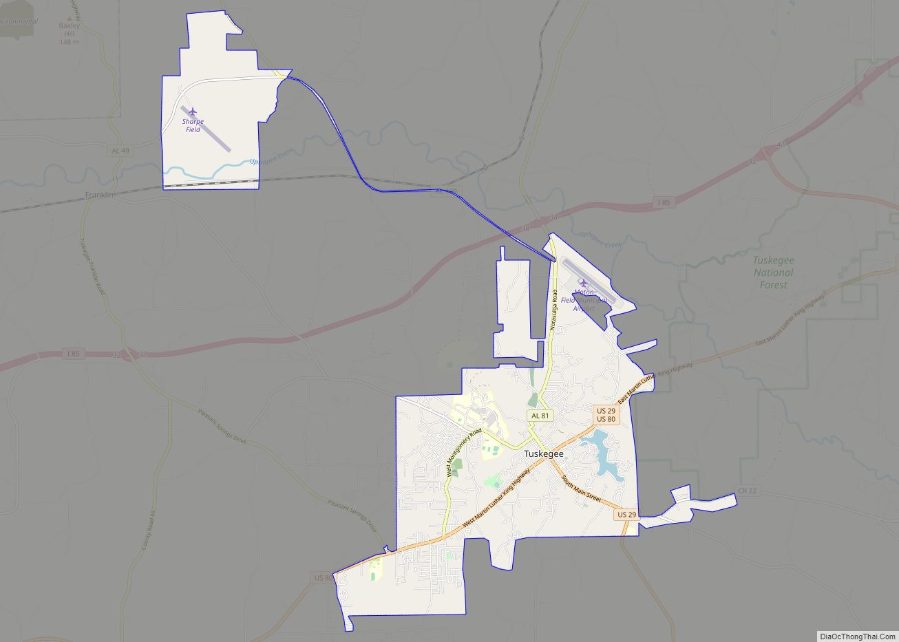
Online Interactive Map
Click on ![]() to view map in "full screen" mode.
to view map in "full screen" mode.
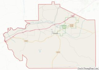
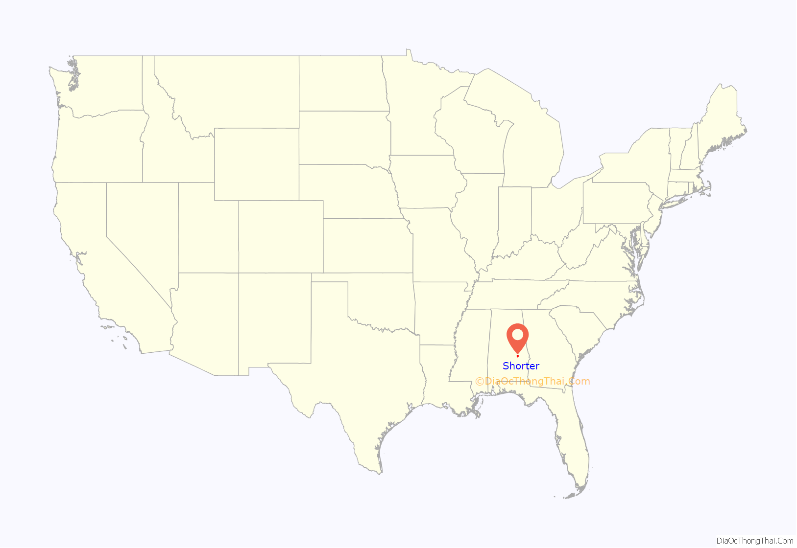
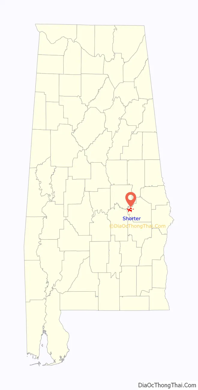
Shorter location map. Where is Shorter town?
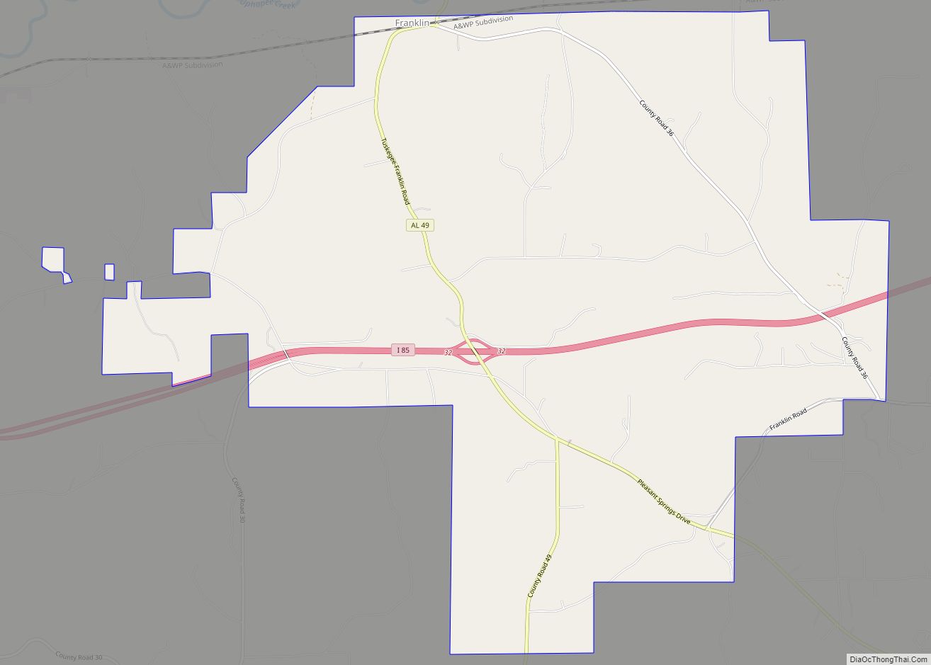
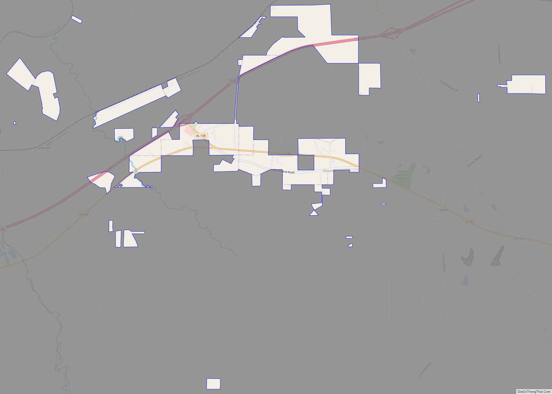
Shorter Road Map
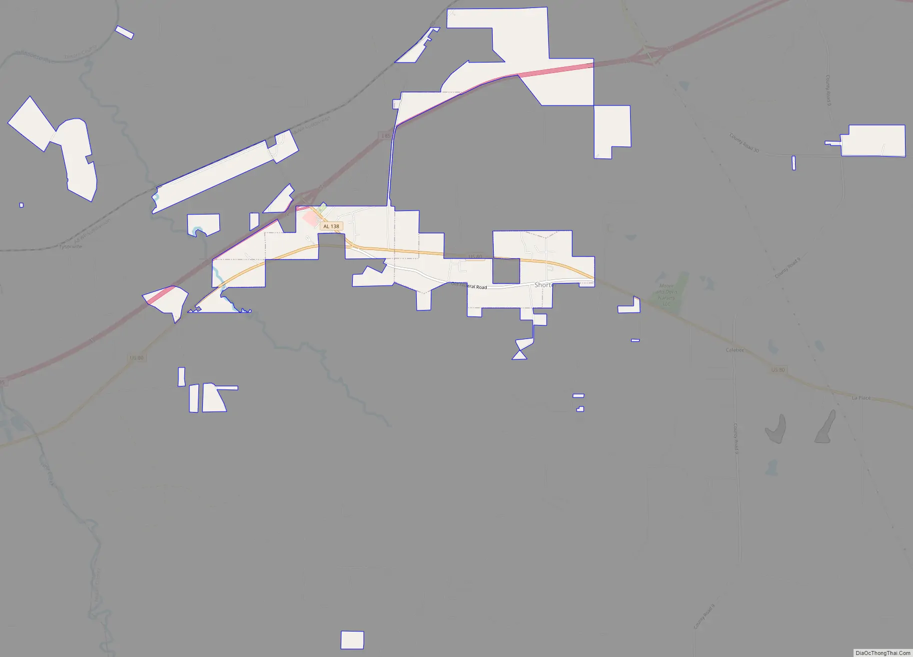
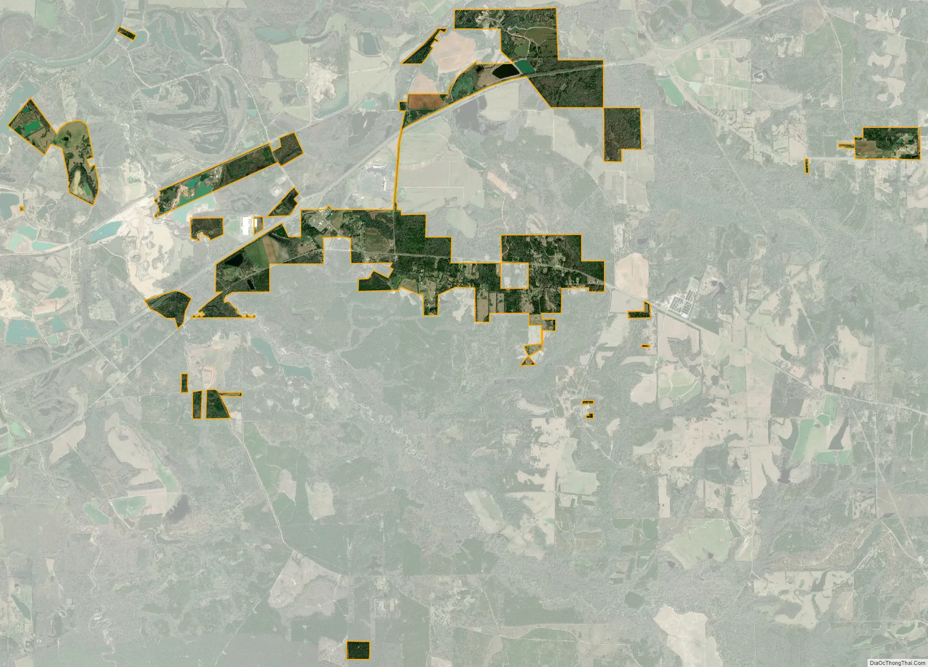
Shorter city Satellite Map
Geography
Shorter is located in western Macon County at 32°24′5″N 85°56′36″W / 32.40139°N 85.94333°W / 32.40139; -85.94333, along U.S. Route 80. It is 24 miles (39 km) east of Montgomery, the state capital, and 15 miles (24 km) west of Tuskegee.
According to the U.S. Census Bureau, Shorter has a total area of 4.6 square miles (11.8 km), of which 0.03 square miles (0.07 km), or 0.60%, are water. The center of town lies on a low ridge which drains south to Cubahatchee Creek and north to Calebee Creek, both of which are west-flowing tributaries of the Tallapoosa River.
See also
Map of Alabama State and its subdivision:- Autauga
- Baldwin
- Barbour
- Bibb
- Blount
- Bullock
- Butler
- Calhoun
- Chambers
- Cherokee
- Chilton
- Choctaw
- Clarke
- Clay
- Cleburne
- Coffee
- Colbert
- Conecuh
- Coosa
- Covington
- Crenshaw
- Cullman
- Dale
- Dallas
- De Kalb
- Elmore
- Escambia
- Etowah
- Fayette
- Franklin
- Geneva
- Greene
- Hale
- Henry
- Houston
- Jackson
- Jefferson
- Lamar
- Lauderdale
- Lawrence
- Lee
- Limestone
- Lowndes
- Macon
- Madison
- Marengo
- Marion
- Marshall
- Mobile
- Monroe
- Montgomery
- Morgan
- Perry
- Pickens
- Pike
- Randolph
- Russell
- Saint Clair
- Shelby
- Sumter
- Talladega
- Tallapoosa
- Tuscaloosa
- Walker
- Washington
- Wilcox
- Winston
- Alabama
- Alaska
- Arizona
- Arkansas
- California
- Colorado
- Connecticut
- Delaware
- District of Columbia
- Florida
- Georgia
- Hawaii
- Idaho
- Illinois
- Indiana
- Iowa
- Kansas
- Kentucky
- Louisiana
- Maine
- Maryland
- Massachusetts
- Michigan
- Minnesota
- Mississippi
- Missouri
- Montana
- Nebraska
- Nevada
- New Hampshire
- New Jersey
- New Mexico
- New York
- North Carolina
- North Dakota
- Ohio
- Oklahoma
- Oregon
- Pennsylvania
- Rhode Island
- South Carolina
- South Dakota
- Tennessee
- Texas
- Utah
- Vermont
- Virginia
- Washington
- West Virginia
- Wisconsin
- Wyoming