Woodville is a town in Jackson County, Alabama, United States. It was officially established by an act of the Alabama State Legislature on December 13, 1819, one day before Alabama became a state. It was later incorporated on May 12, 1890, but lost its charter in 1897. It reincorporated in 1912. As of the 2010 census, the population of the town is 746, down from 761 in 2000.
| Name: | Woodville town |
|---|---|
| LSAD Code: | 43 |
| LSAD Description: | town (suffix) |
| State: | Alabama |
| County: | Jackson County |
| Elevation: | 620 ft (189 m) |
| Total Area: | 6.66 sq mi (17.25 km²) |
| Land Area: | 6.62 sq mi (17.15 km²) |
| Water Area: | 0.04 sq mi (0.10 km²) |
| Total Population: | 746 |
| Population Density: | 112.65/sq mi (43.49/km²) |
| ZIP code: | 35776 |
| Area code: | 256 |
| FIPS code: | 0183664 |
| GNISfeature ID: | 0129219 |
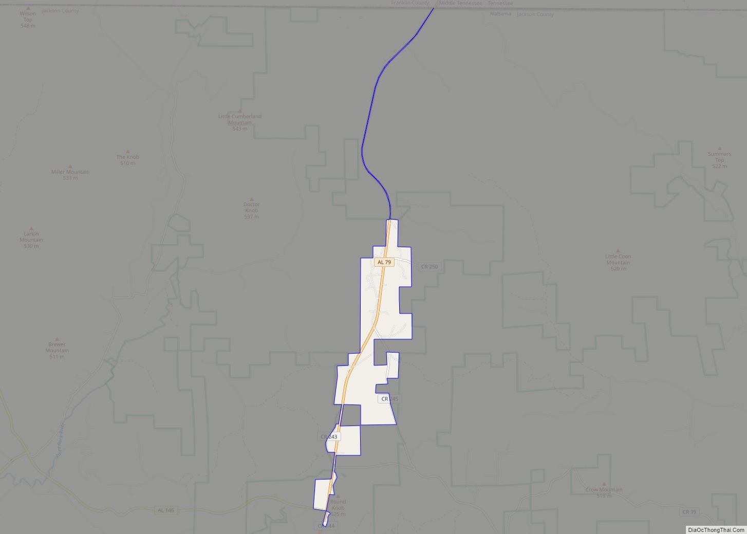
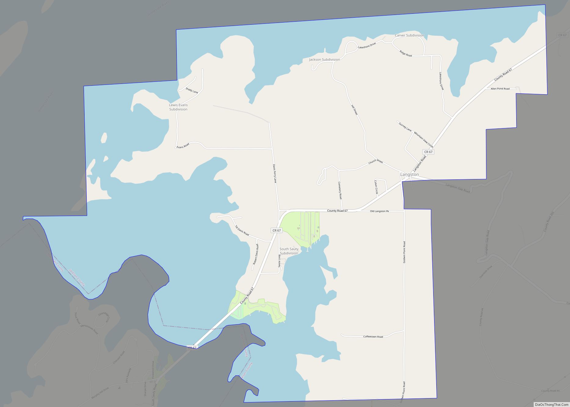
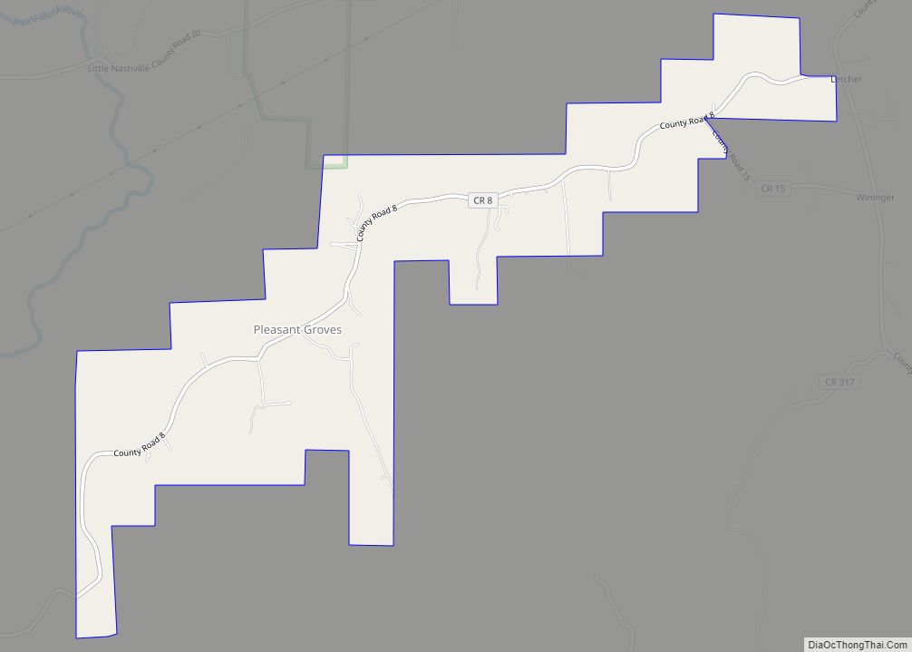
Online Interactive Map
Click on ![]() to view map in "full screen" mode.
to view map in "full screen" mode.
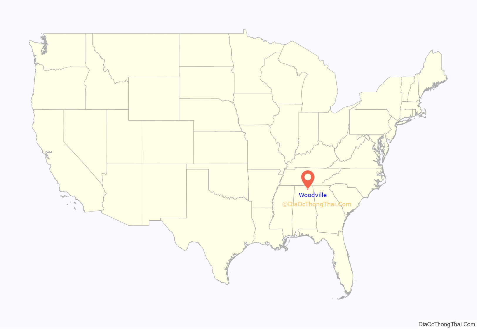
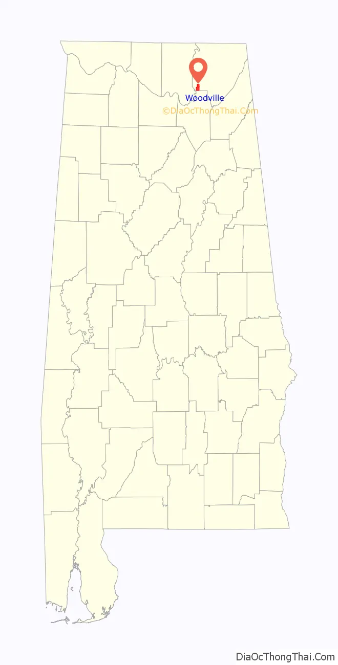
Woodville location map. Where is Woodville town?
History
Woodville was settled about 1815 by Henry Derrick and is the oldest town in Jackson County. It was named for early residents Richard and Annie Wood. Woodville became the seat of Decatur County, Alabama in December 1821, but was attached to Jackson County when Decatur County was abolished the following year. The surrounding area was the site of considerable guerrilla warfare and small actions during the American Civil War, including the Skirmish at Paint Rock Bridge.
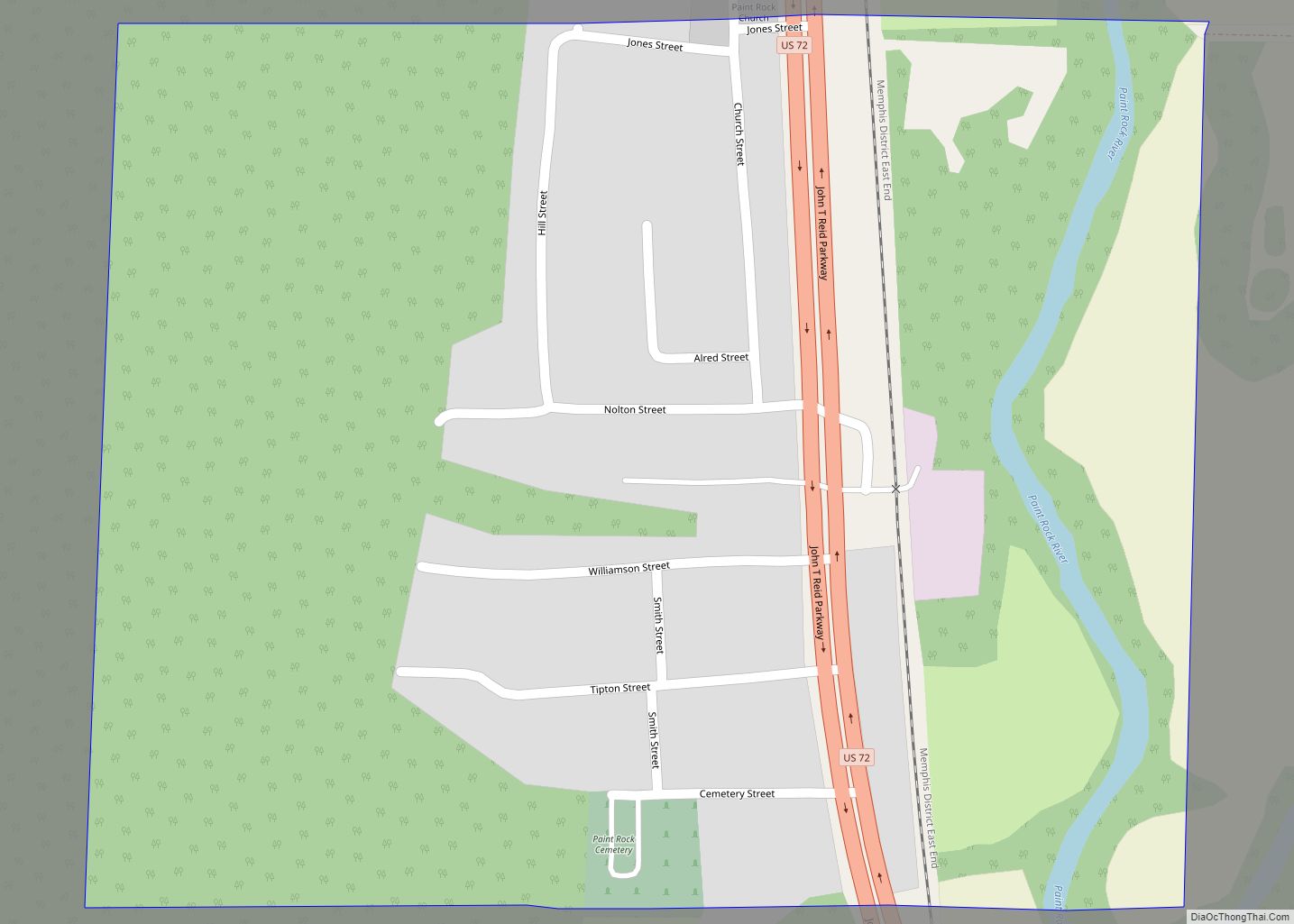
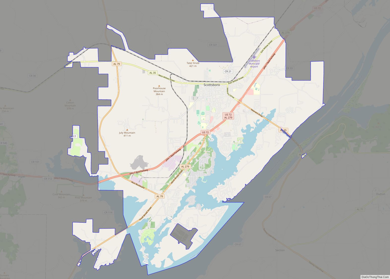
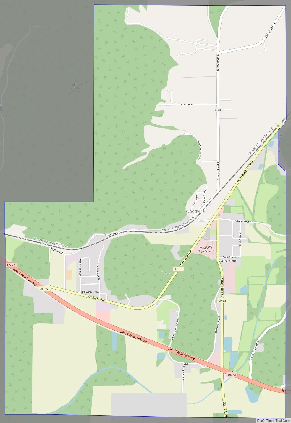
Woodville Road Map
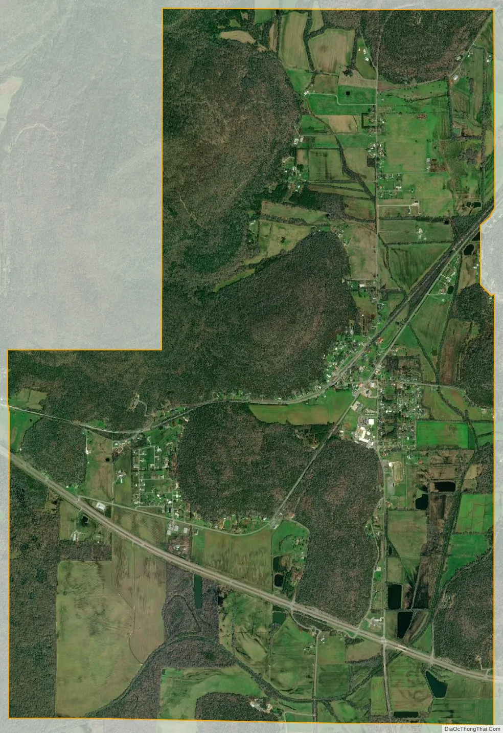
Woodville city Satellite Map
Geography
Woodville is located at 34°37′36″N 86°16′29″W / 34.62667°N 86.27472°W / 34.62667; -86.27472 (34.626775, -86.274832). The town is situated along State Route 35, with an older section of town lying a few blocks west of SR 35 along County Road 8, facing the railroad tracks. U.S. Route 72, which intersects SR 35 in the southern part of Woodville, connects the town with Scottsboro to the east and Huntsville to the west. The Cumberland Plateau rises just north of Woodville, and the Paint Rock River passes just to the west. The Fern Cave National Wildlife Refuge lies to the northwest.
According to the U.S. Census Bureau, the town has a total area of 6.7 square miles (17 km), all land.
See also
Map of Alabama State and its subdivision:- Autauga
- Baldwin
- Barbour
- Bibb
- Blount
- Bullock
- Butler
- Calhoun
- Chambers
- Cherokee
- Chilton
- Choctaw
- Clarke
- Clay
- Cleburne
- Coffee
- Colbert
- Conecuh
- Coosa
- Covington
- Crenshaw
- Cullman
- Dale
- Dallas
- De Kalb
- Elmore
- Escambia
- Etowah
- Fayette
- Franklin
- Geneva
- Greene
- Hale
- Henry
- Houston
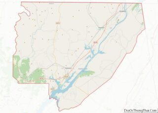
- Jackson
- Jefferson
- Lamar
- Lauderdale
- Lawrence
- Lee
- Limestone
- Lowndes
- Macon
- Madison
- Marengo
- Marion
- Marshall
- Mobile
- Monroe
- Montgomery
- Morgan
- Perry
- Pickens
- Pike
- Randolph
- Russell
- Saint Clair
- Shelby
- Sumter
- Talladega
- Tallapoosa
- Tuscaloosa
- Walker
- Washington
- Wilcox
- Winston
- Alabama
- Alaska
- Arizona
- Arkansas
- California
- Colorado
- Connecticut
- Delaware
- District of Columbia
- Florida
- Georgia
- Hawaii
- Idaho
- Illinois
- Indiana
- Iowa
- Kansas
- Kentucky
- Louisiana
- Maine
- Maryland
- Massachusetts
- Michigan
- Minnesota
- Mississippi
- Missouri
- Montana
- Nebraska
- Nevada
- New Hampshire
- New Jersey
- New Mexico
- New York
- North Carolina
- North Dakota
- Ohio
- Oklahoma
- Oregon
- Pennsylvania
- Rhode Island
- South Carolina
- South Dakota
- Tennessee
- Texas
- Utah
- Vermont
- Virginia
- Washington
- West Virginia
- Wisconsin
- Wyoming