York is a city in Sumter County, Alabama, United States. Founded around 1838 after the merging of two communities, Old Anvil and New York Station, the latter a station on a stagecoach line. The rail came through in the 1850s and later, the “New” was dropped from York Station in 1861. With the discovery that another community in Alabama bore that name, the “Station” was dropped and York was formally incorporated on April 6, 1881. At the 2010 census the population was 2,538, down from 2,854 in 2000. From 1920 to 1980, it was the largest town in the county. Since 1990, it has been the second largest city behind the county seat of Livingston.
| Name: | York city |
|---|---|
| LSAD Code: | 25 |
| LSAD Description: | city (suffix) |
| State: | Alabama |
| County: | Sumter County |
| Elevation: | 190 ft (60 m) |
| Total Area: | 6.88 sq mi (17.83 km²) |
| Land Area: | 6.87 sq mi (17.78 km²) |
| Water Area: | 0.02 sq mi (0.05 km²) |
| Total Population: | 2,414 |
| Population Density: | 351.64/sq mi (135.77/km²) |
| ZIP code: | 36925 |
| Area code: | 205, 659 |
| FIPS code: | 0184096 |
| GNISfeature ID: | 0129302 |
| Website: | www.cityyork.com |
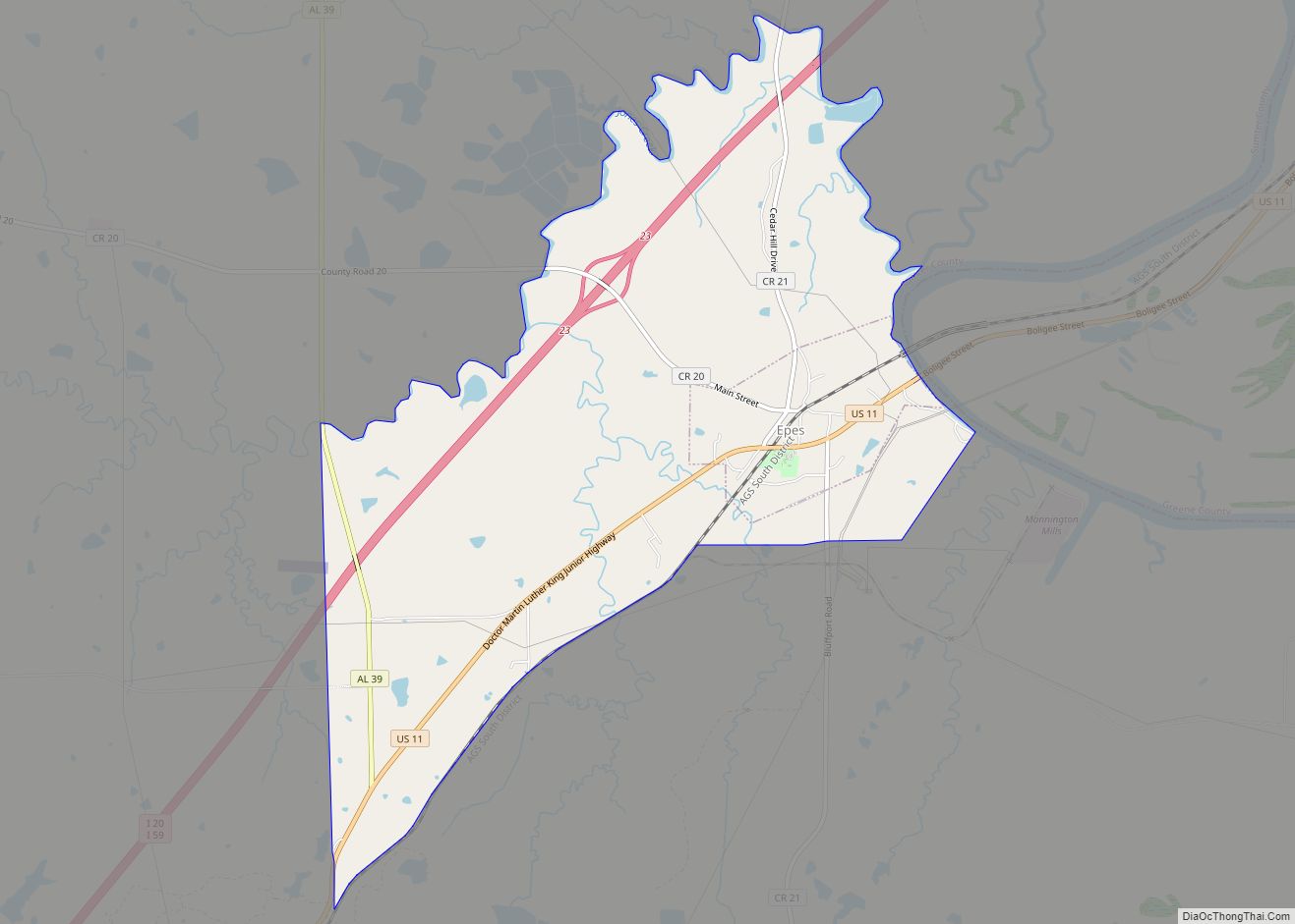
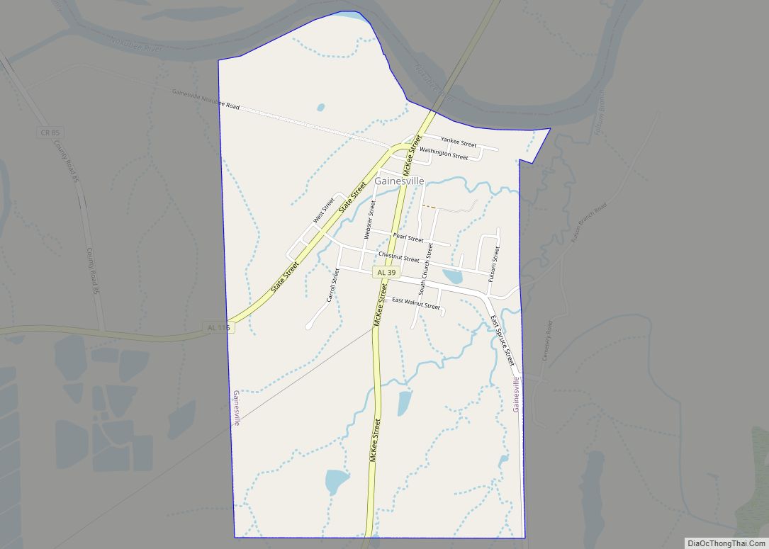
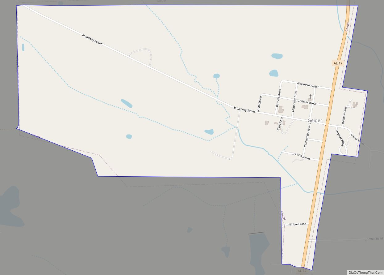
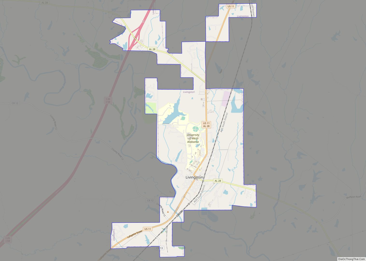
Online Interactive Map
Click on ![]() to view map in "full screen" mode.
to view map in "full screen" mode.
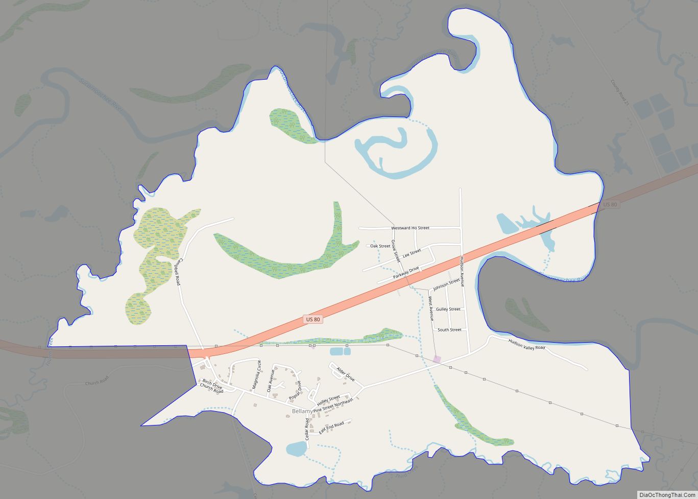
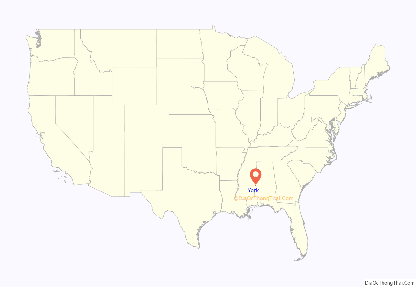
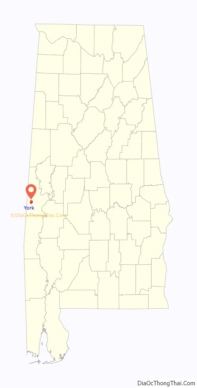
York location map. Where is York city?
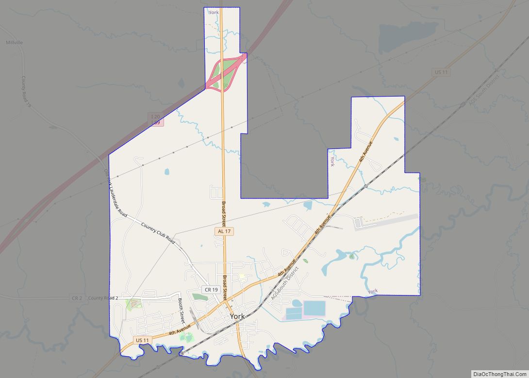
York Road Map

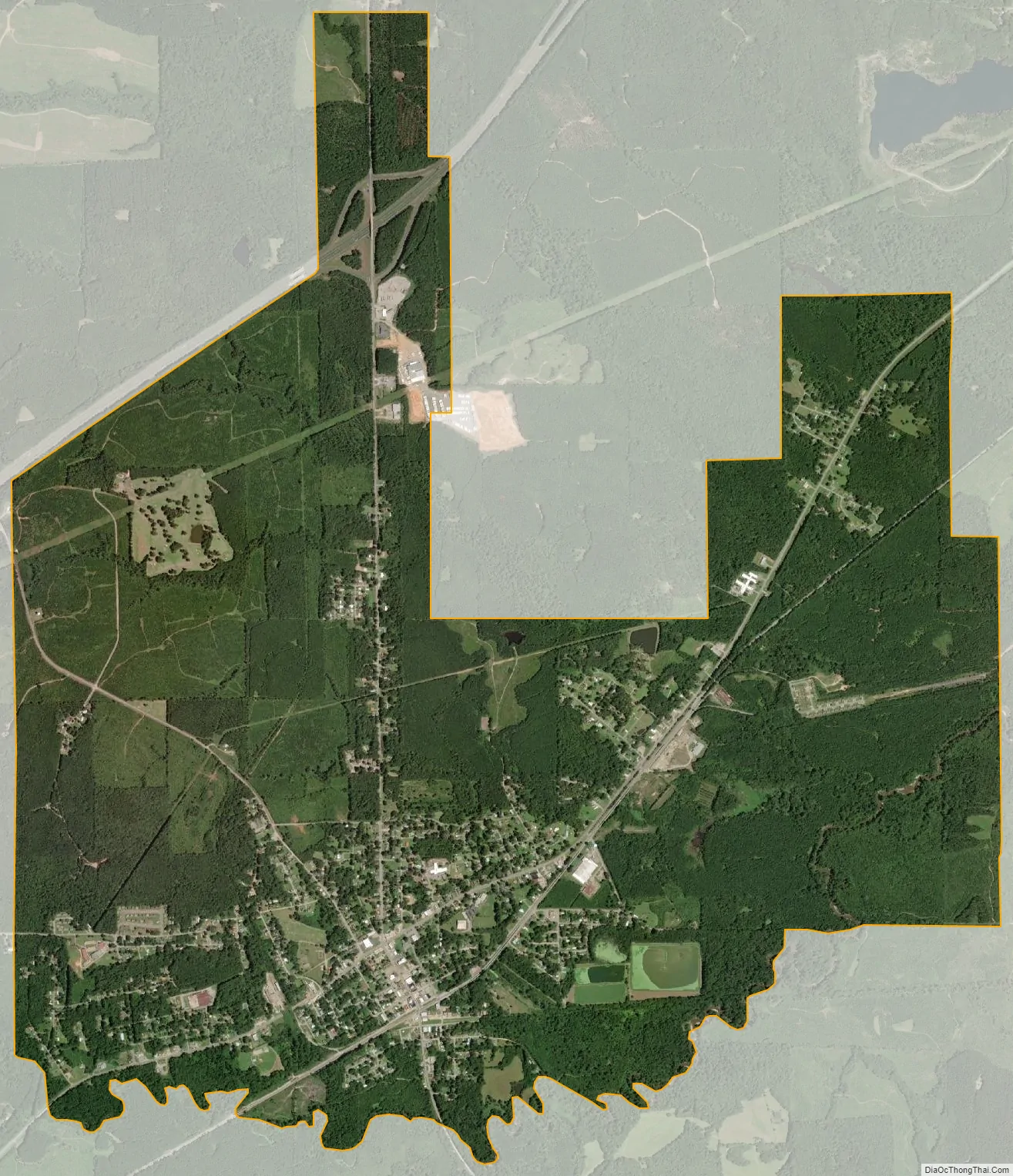
York city Satellite Map
Geography
York is located at 32°29′36″N 88°17′52″W / 32.493221°N 88.297845°W / 32.493221; -88.297845.
According to the U.S. Census Bureau, the city has a total area of 7.1 square miles (18 km), of which 7.1 square miles (18 km) is land and 0.04 square miles (0.10 km) (0.28%) is water.
See also
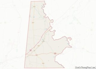
Map of Alabama State and its subdivision:- Autauga
- Baldwin
- Barbour
- Bibb
- Blount
- Bullock
- Butler
- Calhoun
- Chambers
- Cherokee
- Chilton
- Choctaw
- Clarke
- Clay
- Cleburne
- Coffee
- Colbert
- Conecuh
- Coosa
- Covington
- Crenshaw
- Cullman
- Dale
- Dallas
- De Kalb
- Elmore
- Escambia
- Etowah
- Fayette
- Franklin
- Geneva
- Greene
- Hale
- Henry
- Houston
- Jackson
- Jefferson
- Lamar
- Lauderdale
- Lawrence
- Lee
- Limestone
- Lowndes
- Macon
- Madison
- Marengo
- Marion
- Marshall
- Mobile
- Monroe
- Montgomery
- Morgan
- Perry
- Pickens
- Pike
- Randolph
- Russell
- Saint Clair
- Shelby
- Sumter
- Talladega
- Tallapoosa
- Tuscaloosa
- Walker
- Washington
- Wilcox
- Winston
- Alabama
- Alaska
- Arizona
- Arkansas
- California
- Colorado
- Connecticut
- Delaware
- District of Columbia
- Florida
- Georgia
- Hawaii
- Idaho
- Illinois
- Indiana
- Iowa
- Kansas
- Kentucky
- Louisiana
- Maine
- Maryland
- Massachusetts
- Michigan
- Minnesota
- Mississippi
- Missouri
- Montana
- Nebraska
- Nevada
- New Hampshire
- New Jersey
- New Mexico
- New York
- North Carolina
- North Dakota
- Ohio
- Oklahoma
- Oregon
- Pennsylvania
- Rhode Island
- South Carolina
- South Dakota
- Tennessee
- Texas
- Utah
- Vermont
- Virginia
- Washington
- West Virginia
- Wisconsin
- Wyoming