Bethel Heights was a city in Benton County, Arkansas, United States. Always a small, sparsely populated community, the region coalesced around a school named Bethel in the late 19th century but did not incorporate until 1967 to avoid annexation by larger neighboring communities. The town offered police and fire protection and wastewater service to residents, but sent students to Springdale Public Schools and purchased water from Springdale Water Utilities. By the 21st century, Northwest Arkansas was gaining population rapidly, and Bethel Heights reincorporated as a city and grew from a population of 714 in 2000 to 2,372 at the 2010 census. Growth put pressure on the city’s subsurface discharge wastewater treatment system, and following a series of wastewater treatment plant violations, voters dissolved the city and completely annexed into Springdale in August 2020.
| Name: | Bethel Heights city |
|---|---|
| LSAD Code: | 25 |
| LSAD Description: | city (suffix) |
| State: | Arkansas |
| County: | Benton County |
| Elevation: | 1,348 ft (411 m) |
| Total Area: | 2.22 sq mi (5.76 km²) |
| Land Area: | 2.21 sq mi (5.74 km²) |
| Water Area: | 0.01 sq mi (0.03 km²) |
| Total Population: | 2,372 |
| Population Density: | 1,251.02/sq mi (482.94/km²) |
| ZIP code: | 72764 |
| Area code: | 479 |
| FIPS code: | 0505740 |
| GNISfeature ID: | 0076320 |
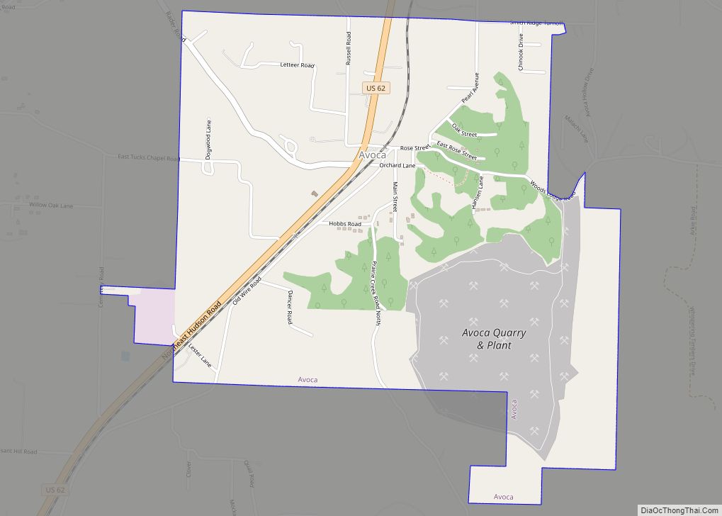
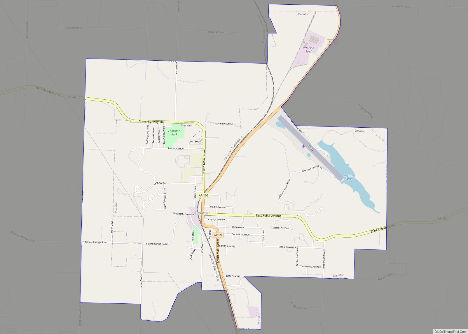
Online Interactive Map
Click on ![]() to view map in "full screen" mode.
to view map in "full screen" mode.
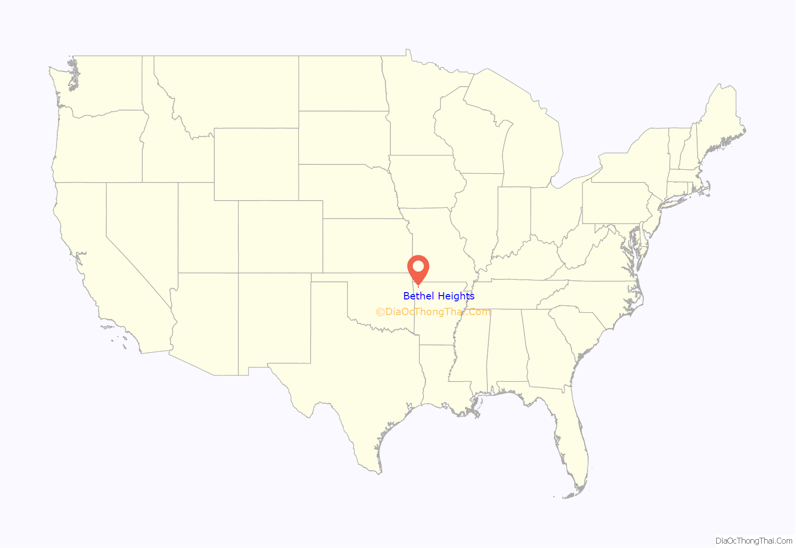
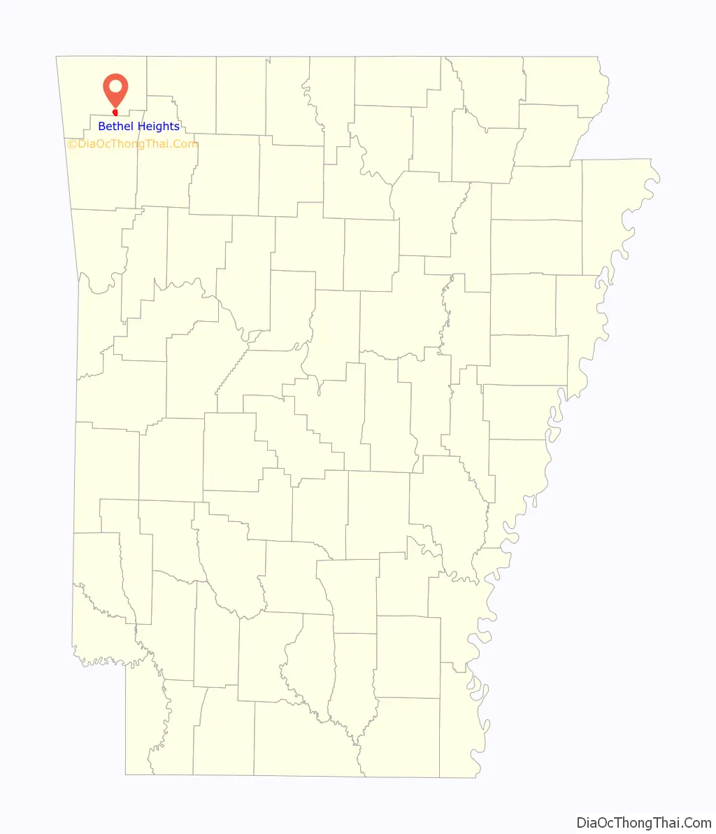
Bethel Heights location map. Where is Bethel Heights city?
History
Present-day Benton County was hunted by the Osage prior to, and after, the Louisiana Purchase. Following the Treaty of Fort Clark and establishment of Lovely County, white settlement in the area began. Settlers around Bethel Heights started claiming land in 1856.
As the communities of Lowell and Springdale expanded toward the Bethel area, residents incorporated as a town in 1967 to prevent annexation.
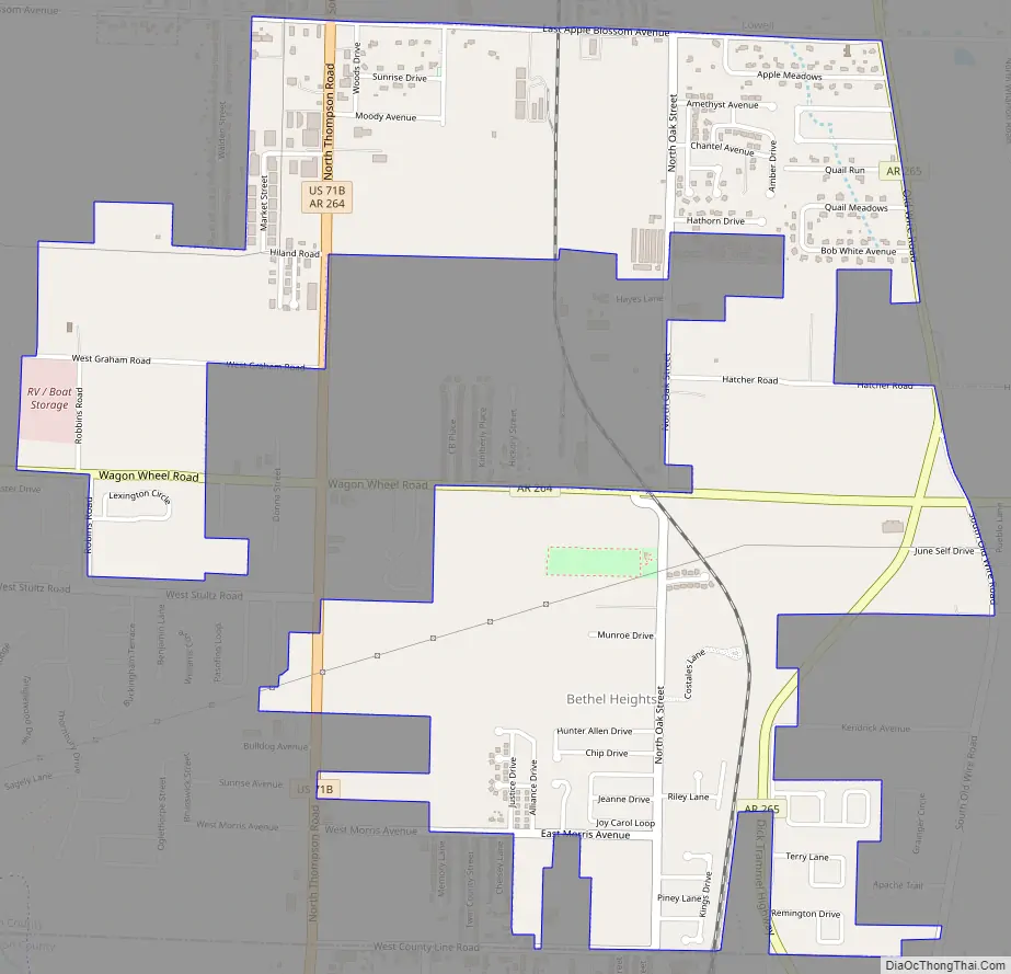
Bethel Heights Road Map
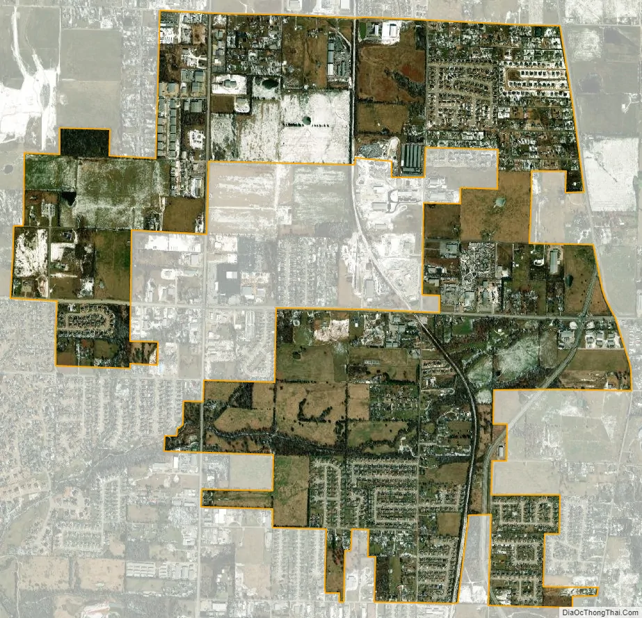
Bethel Heights city Satellite Map
Geography
Bethel Heights was located in southern Benton County at 36°13′22″N 94°7′40″W / 36.22278°N 94.12778°W / 36.22278; -94.12778 (36.222843, -94.127671). It was bordered by Springdale to the east, south, and west, and by Lowell to the north. U.S. Route 71 Business (US 71B, Thompson Street) ran north-south along the western side of the city, and Highway 264 ran east-west through the center of the city.
According to the United States Census Bureau, the city had a total area of 2.4 square miles (6.2 km), of which 0.015 square miles (0.04 km), or 0.69%, is water.
Region
The Northwest Arkansas region consists of three Arkansas counties: Benton, Madison, and Washington. The area had a population of 347,045 at the 2000 census which had increased to 463,204 by the 2010 Census (an increase of 33.47 percent). The region does not consist of the usual principal-city-with-suburbs morphology. The principal cities retain individual identities, but have grown together along Interstate 49 (I-49). For more than the last decade, Northwest Arkansas has been one of the fastest-growing regions in the United States.
See also
Map of Arkansas State and its subdivision:- Arkansas
- Ashley
- Baxter
- Benton
- Boone
- Bradley
- Calhoun
- Carroll
- Chicot
- Clark
- Clay
- Cleburne
- Cleveland
- Columbia
- Conway
- Craighead
- Crawford
- Crittenden
- Cross
- Dallas
- Desha
- Drew
- Faulkner
- Franklin
- Fulton
- Garland
- Grant
- Greene
- Hempstead
- Hot Spring
- Howard
- Independence
- Izard
- Jackson
- Jefferson
- Johnson
- Lafayette
- Lawrence
- Lee
- Lincoln
- Little River
- Logan
- Lonoke
- Madison
- Marion
- Miller
- Mississippi
- Monroe
- Montgomery
- Nevada
- Newton
- Ouachita
- Perry
- Phillips
- Pike
- Poinsett
- Polk
- Pope
- Prairie
- Pulaski
- Randolph
- Saint Francis
- Saline
- Scott
- Searcy
- Sebastian
- Sevier
- Sharp
- Stone
- Union
- Van Buren
- Washington
- White
- Woodruff
- Yell
- Alabama
- Alaska
- Arizona
- Arkansas
- California
- Colorado
- Connecticut
- Delaware
- District of Columbia
- Florida
- Georgia
- Hawaii
- Idaho
- Illinois
- Indiana
- Iowa
- Kansas
- Kentucky
- Louisiana
- Maine
- Maryland
- Massachusetts
- Michigan
- Minnesota
- Mississippi
- Missouri
- Montana
- Nebraska
- Nevada
- New Hampshire
- New Jersey
- New Mexico
- New York
- North Carolina
- North Dakota
- Ohio
- Oklahoma
- Oregon
- Pennsylvania
- Rhode Island
- South Carolina
- South Dakota
- Tennessee
- Texas
- Utah
- Vermont
- Virginia
- Washington
- West Virginia
- Wisconsin
- Wyoming