Cedarville is a city in Crawford County, Arkansas, United States. It is part of the Fort Smith, Arkansas–Oklahoma Metropolitan Statistical Area. The population was 1,410 at the 2020 census.
| Name: | Cedarville city |
|---|---|
| LSAD Code: | 25 |
| LSAD Description: | city (suffix) |
| State: | Arkansas |
| County: | Crawford County |
| Elevation: | 860 ft (260 m) |
| Total Area: | 8.89 sq mi (23.01 km²) |
| Land Area: | 8.89 sq mi (23.01 km²) |
| Water Area: | 0.00 sq mi (0.00 km²) |
| Total Population: | 1,424 |
| Population Density: | 160.25/sq mi (61.88/km²) |
| ZIP code: | 72932 |
| Area code: | 479 |
| FIPS code: | 0512520 |
| GNISfeature ID: | 2404016 |
Online Interactive Map
Click on ![]() to view map in "full screen" mode.
to view map in "full screen" mode.
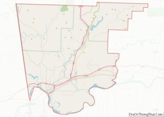
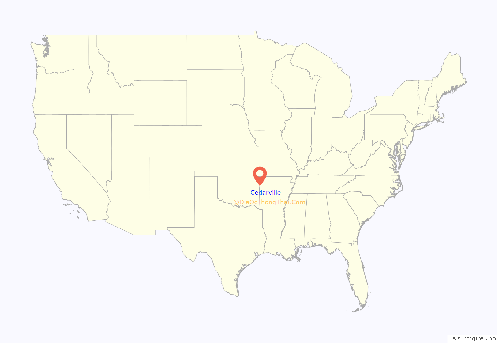
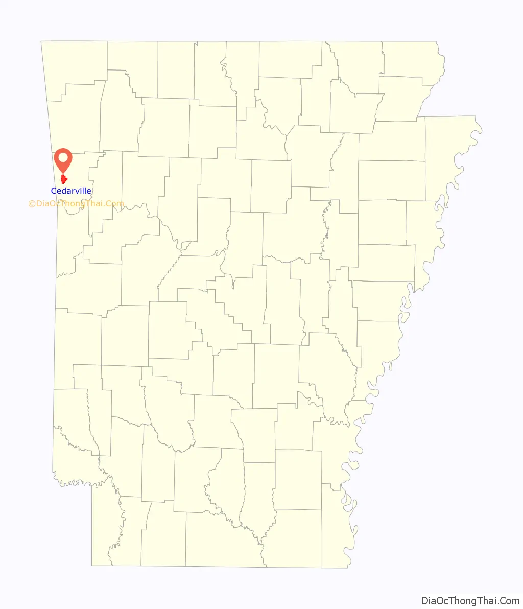
Cedarville location map. Where is Cedarville city?
History
Cedarville was platted in 1879. A post office has been in operation at Cedarville since 1872.
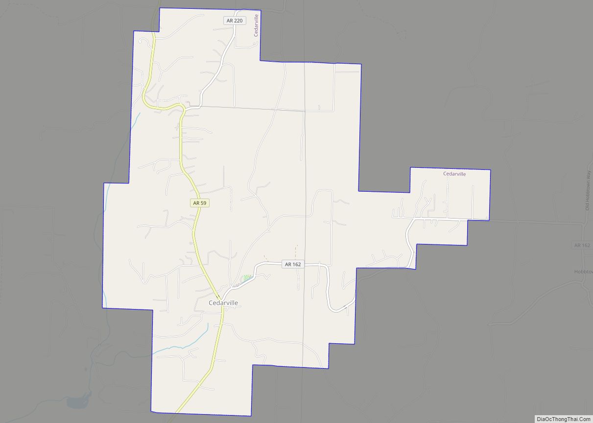
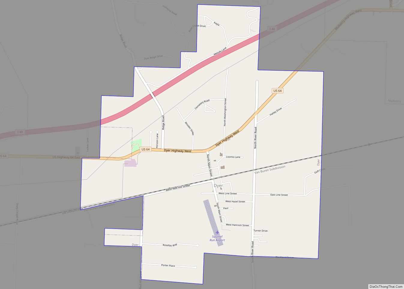
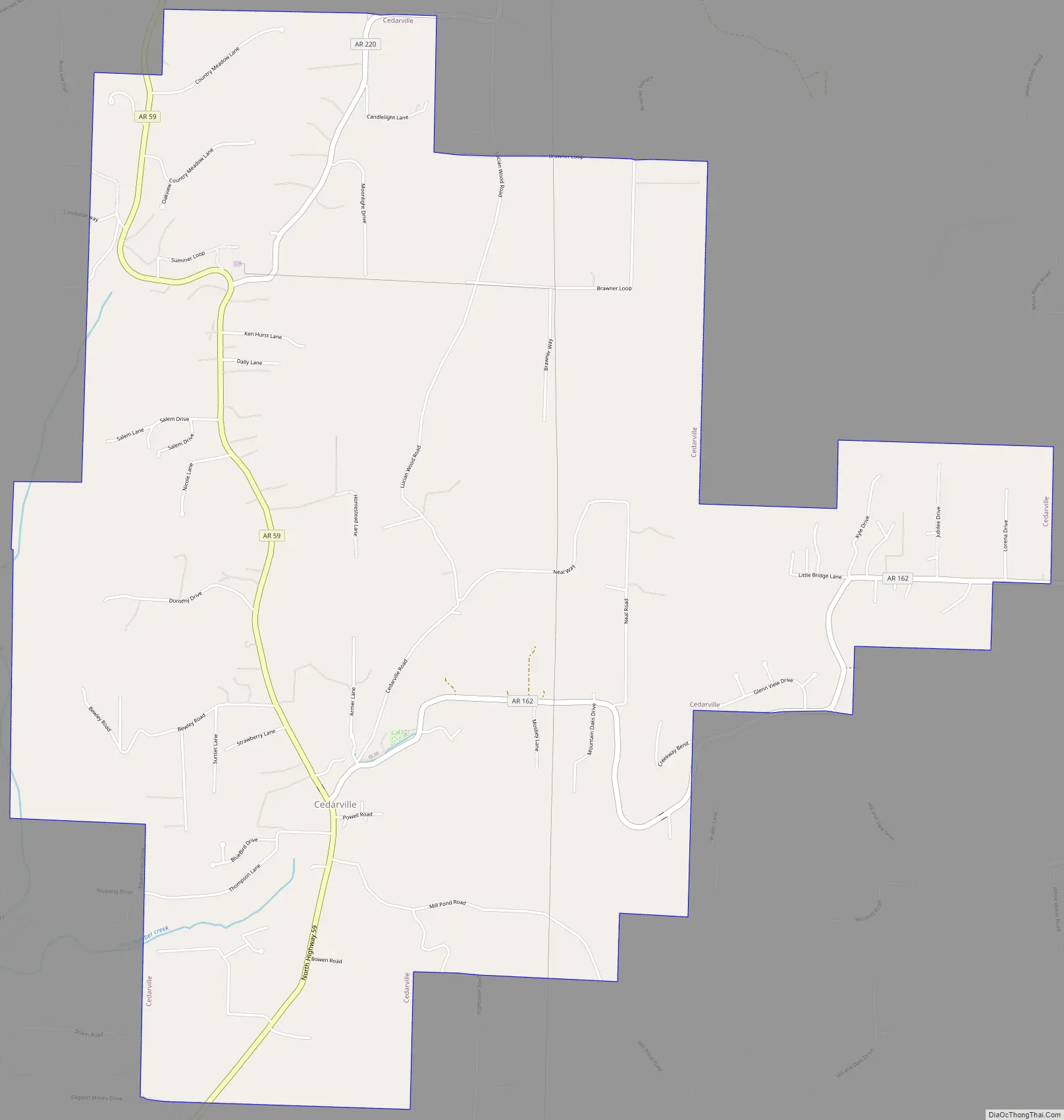
Cedarville Road Map
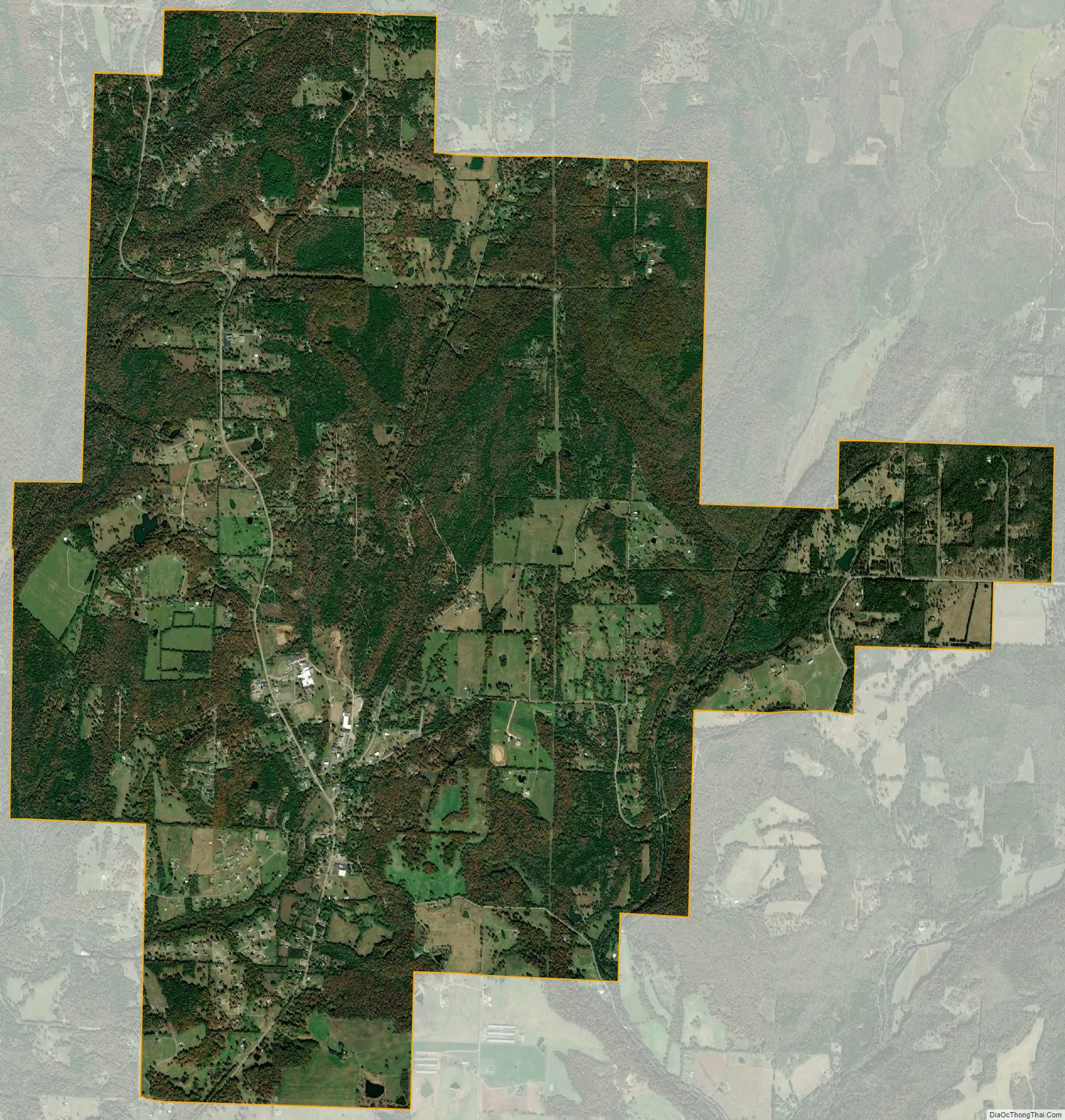
Cedarville city Satellite Map
Geography
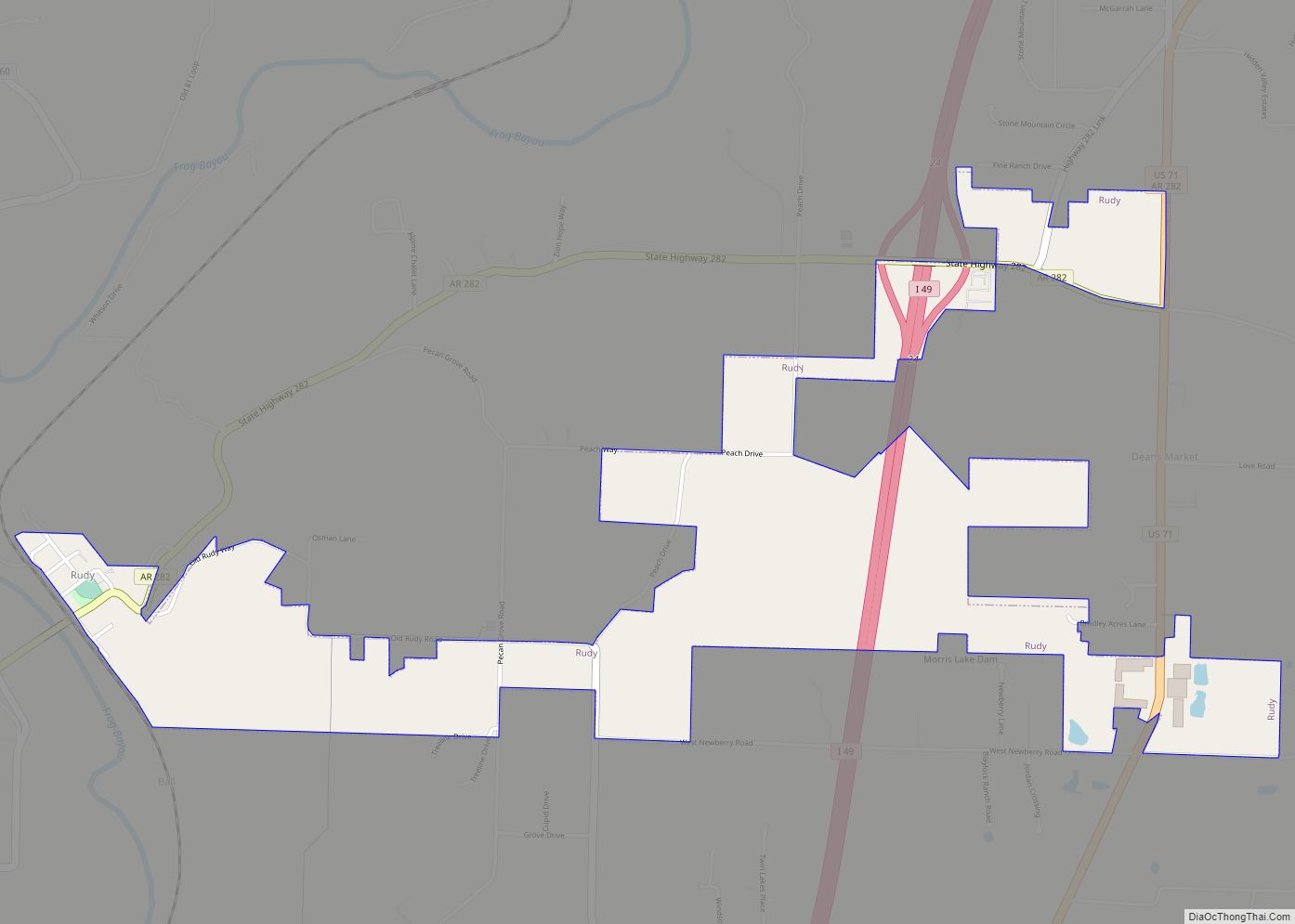
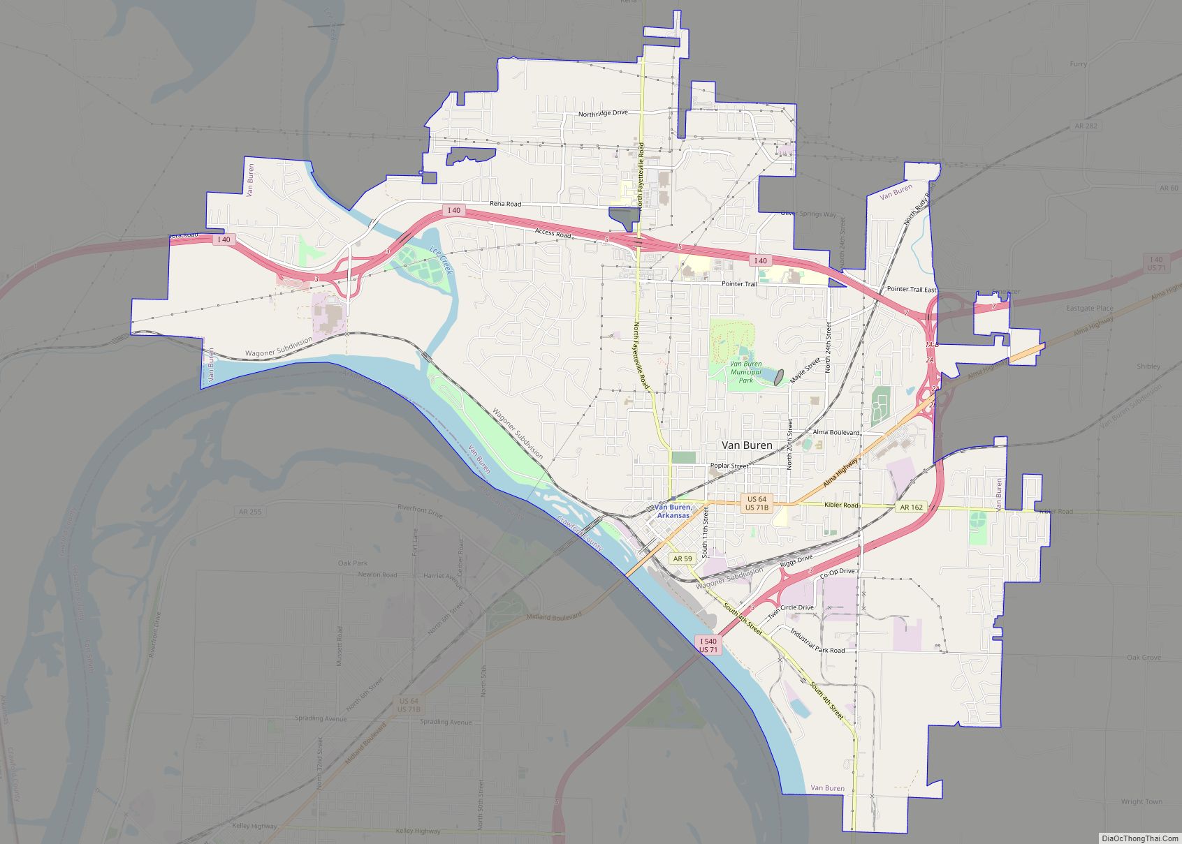
Cedarville is located in western Crawford County on the southern edge of Ozark National Forest. Arkansas Highway 59 runs through the city, leading north 36 miles (58 km) towards Lincoln and south 10 miles (16 km) to Van Buren, the Crawford County seat.
According to the United States Census Bureau, Cedarville has a total area of 9.0 square miles (23.3 km), all land.
See also
Map of Arkansas State and its subdivision:- Arkansas
- Ashley
- Baxter
- Benton
- Boone
- Bradley
- Calhoun
- Carroll
- Chicot
- Clark
- Clay
- Cleburne
- Cleveland
- Columbia
- Conway
- Craighead
- Crawford
- Crittenden
- Cross
- Dallas
- Desha
- Drew
- Faulkner
- Franklin
- Fulton
- Garland
- Grant
- Greene
- Hempstead
- Hot Spring
- Howard
- Independence
- Izard
- Jackson
- Jefferson
- Johnson
- Lafayette
- Lawrence
- Lee
- Lincoln
- Little River
- Logan
- Lonoke
- Madison
- Marion
- Miller
- Mississippi
- Monroe
- Montgomery
- Nevada
- Newton
- Ouachita
- Perry
- Phillips
- Pike
- Poinsett
- Polk
- Pope
- Prairie
- Pulaski
- Randolph
- Saint Francis
- Saline
- Scott
- Searcy
- Sebastian
- Sevier
- Sharp
- Stone
- Union
- Van Buren
- Washington
- White
- Woodruff
- Yell
- Alabama
- Alaska
- Arizona
- Arkansas
- California
- Colorado
- Connecticut
- Delaware
- District of Columbia
- Florida
- Georgia
- Hawaii
- Idaho
- Illinois
- Indiana
- Iowa
- Kansas
- Kentucky
- Louisiana
- Maine
- Maryland
- Massachusetts
- Michigan
- Minnesota
- Mississippi
- Missouri
- Montana
- Nebraska
- Nevada
- New Hampshire
- New Jersey
- New Mexico
- New York
- North Carolina
- North Dakota
- Ohio
- Oklahoma
- Oregon
- Pennsylvania
- Rhode Island
- South Carolina
- South Dakota
- Tennessee
- Texas
- Utah
- Vermont
- Virginia
- Washington
- West Virginia
- Wisconsin
- Wyoming