Corinth is a town in Yell County, Arkansas, United States. The population was 65 at the 2000 census. It is part of the Russellville Micropolitan Statistical Area.
| Name: | Corinth town |
|---|---|
| LSAD Code: | 43 |
| LSAD Description: | town (suffix) |
| State: | Arkansas |
| County: | Yell County |
| Elevation: | 351 ft (107 m) |
| Total Area: | 3.15 sq mi (8.16 km²) |
| Land Area: | 3.09 sq mi (8.00 km²) |
| Water Area: | 0.06 sq mi (0.15 km²) |
| Total Population: | 45 |
| Population Density: | 14.56/sq mi (5.62/km²) |
| ZIP code: | 72824 |
| Area code: | 479 |
| FIPS code: | 0515310 |
| GNISfeature ID: | 0071230 |
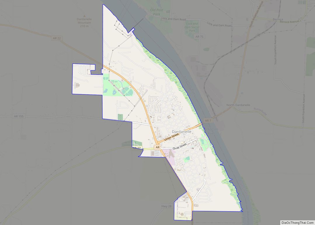
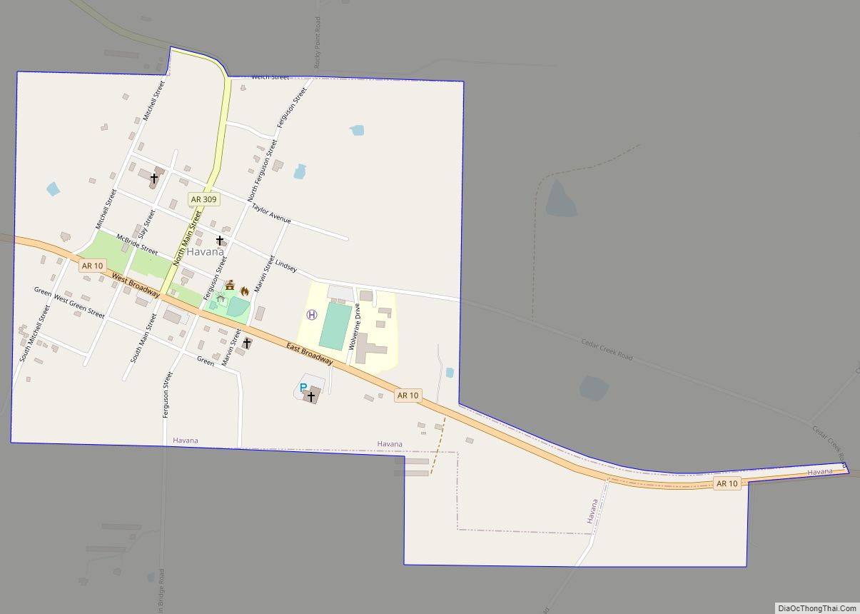
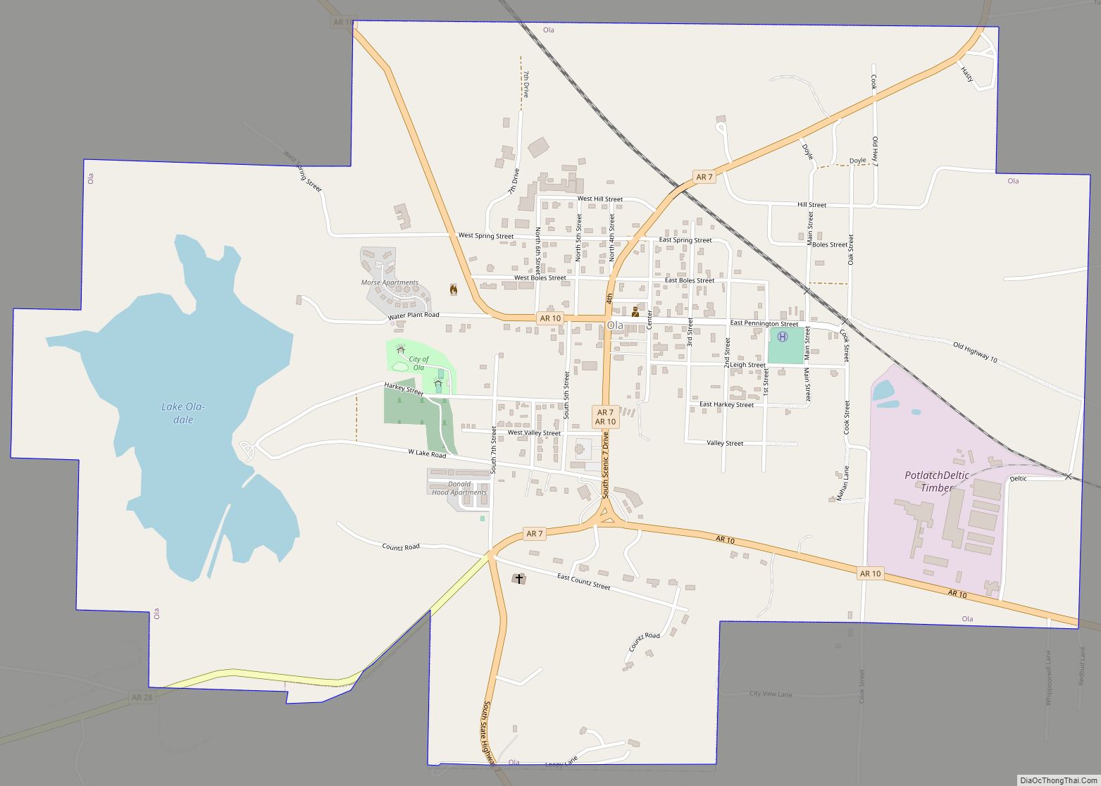
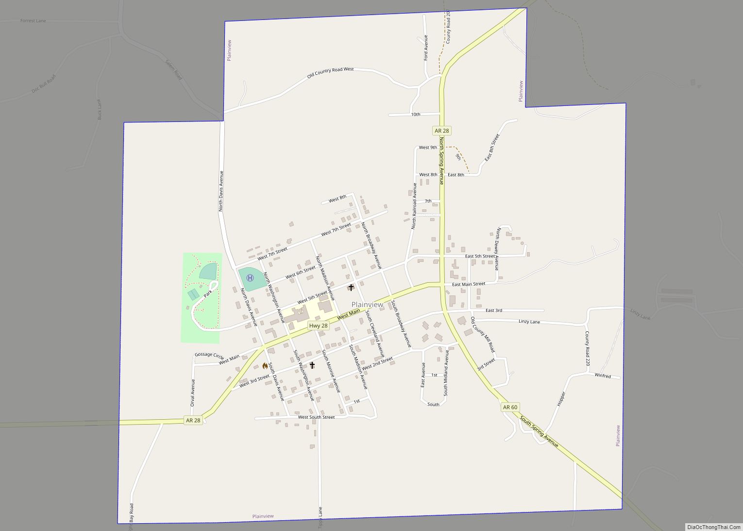
Online Interactive Map
Click on ![]() to view map in "full screen" mode.
to view map in "full screen" mode.
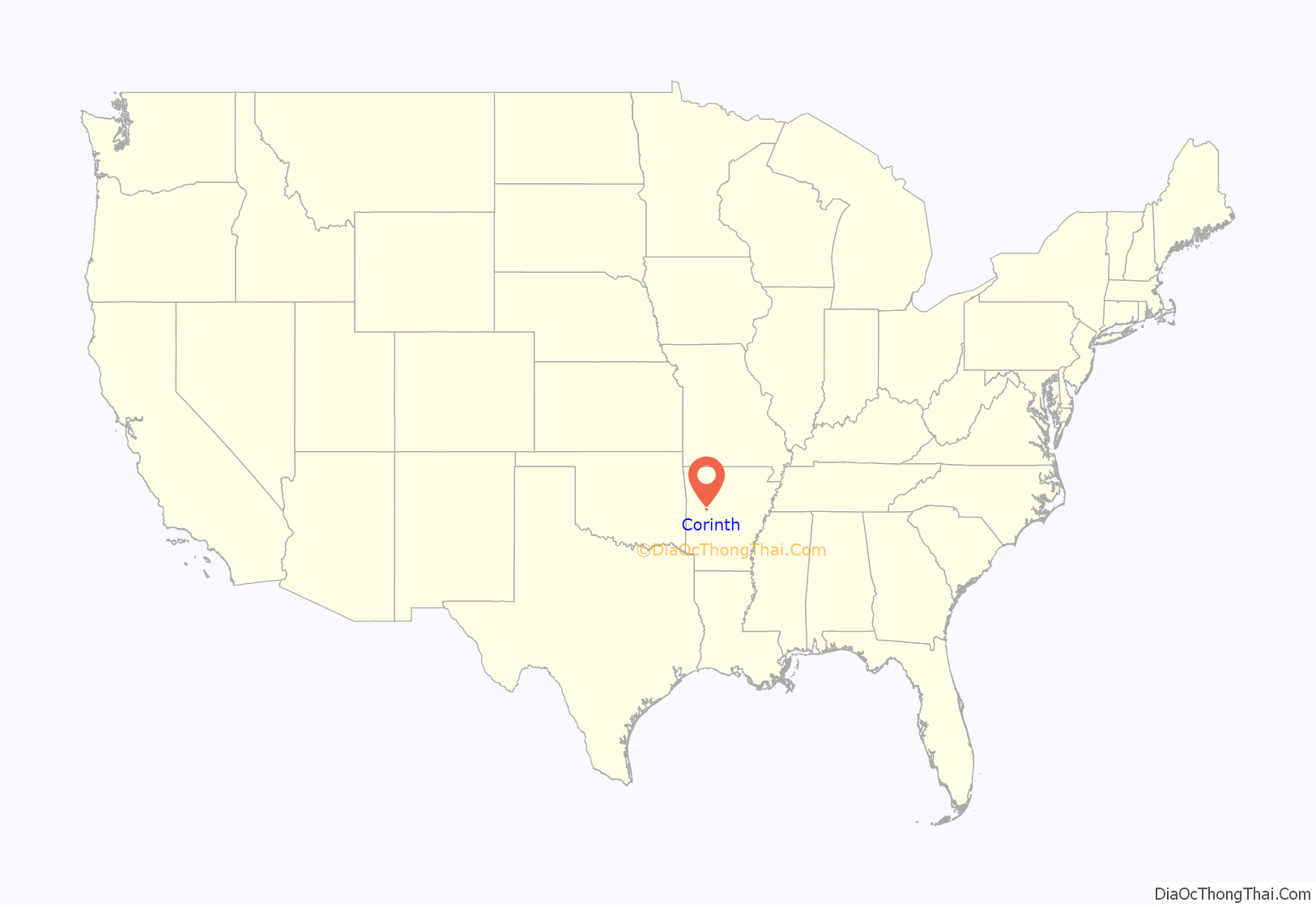
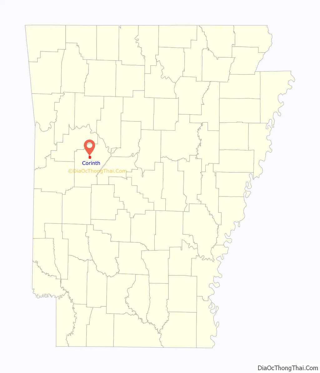
Corinth location map. Where is Corinth town?
History
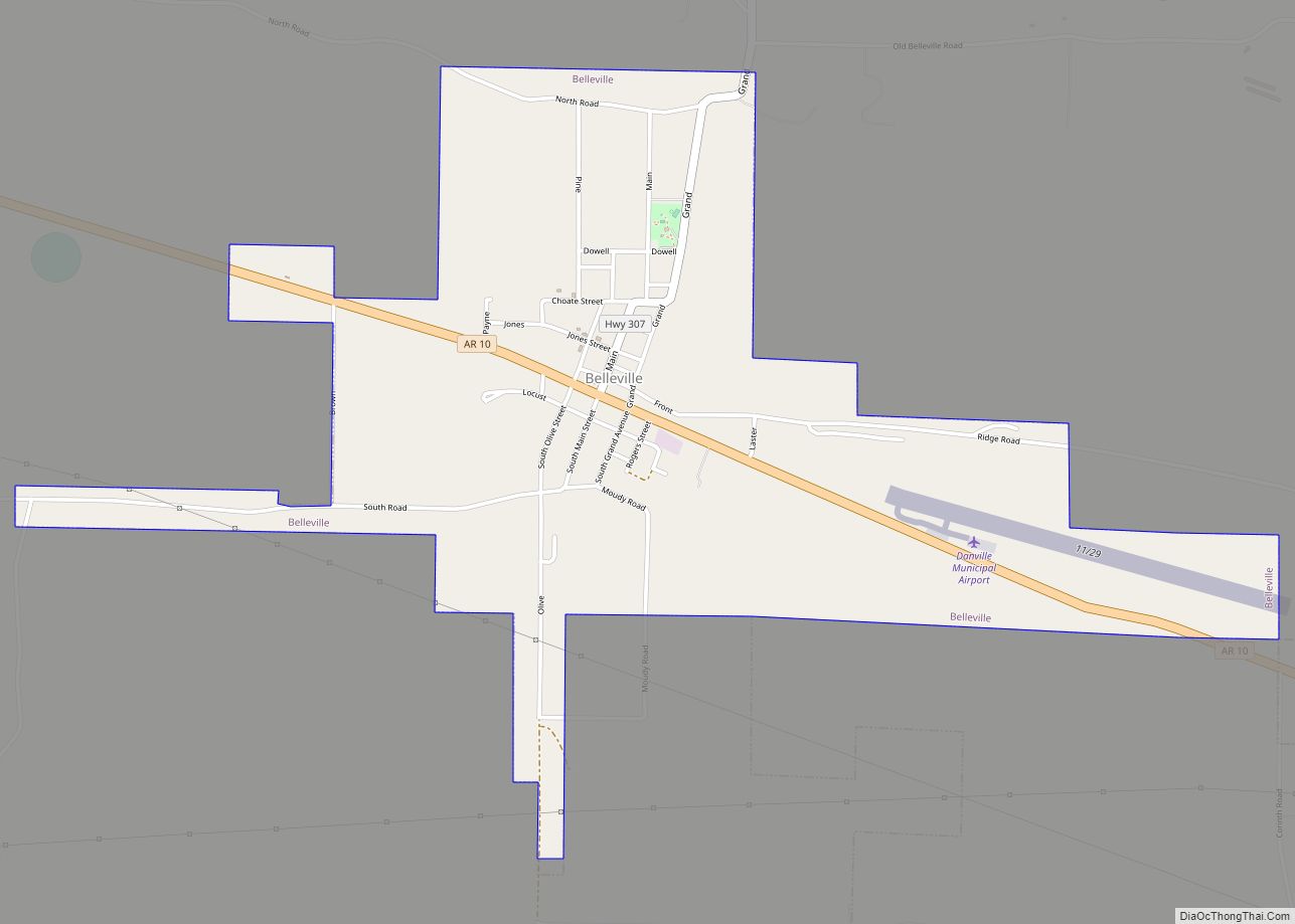
According to a few residences, who have lived in the community since incorporation, a group of landowners got together in thoughts of incorporating, back when the city of Belleville was a bustling town (due to the railroad that went through the town at the time). The city was wanting to acquire portions of the land that is now Corinth. The landowners, who did not want to be taxed city tax, filed to incorporate their land into what is now known as Corinth Arkansas.
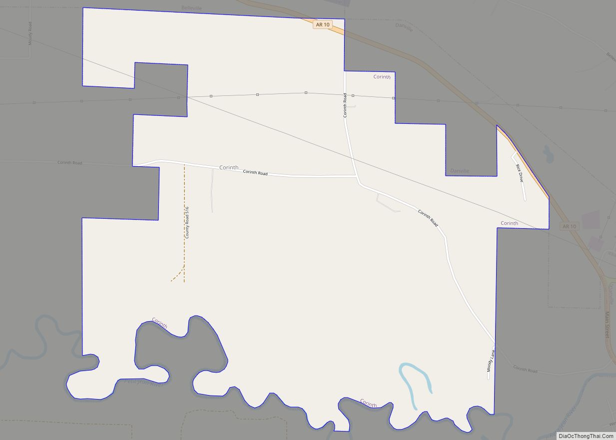
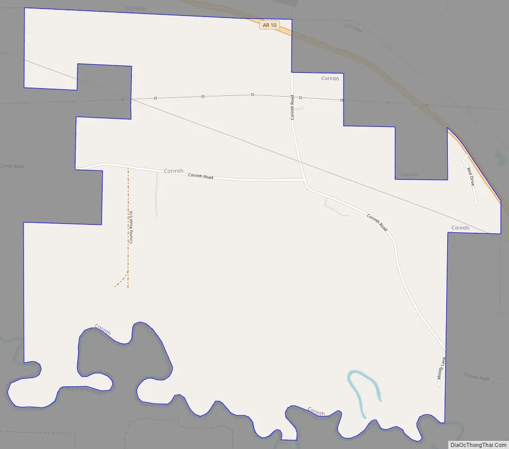
Corinth Road Map
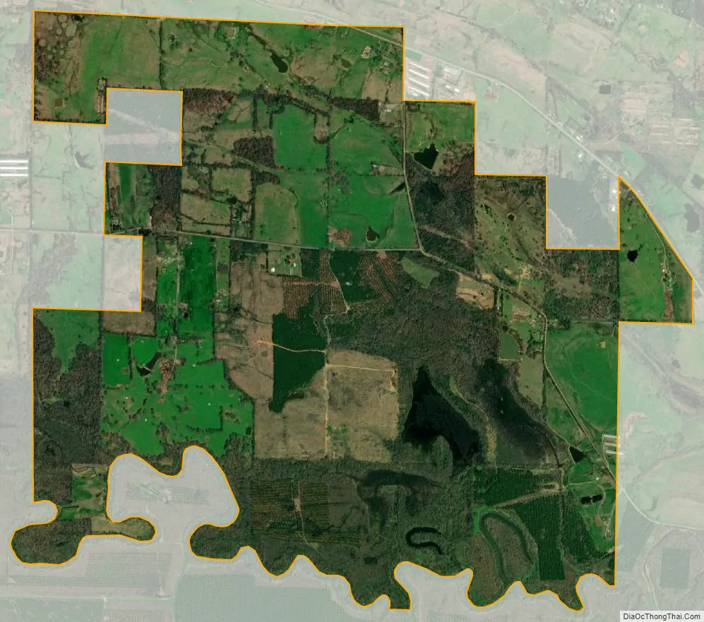
Corinth city Satellite Map
Geography
Corinth is located at 35°3′28″N 93°25′54″W / 35.05778°N 93.43167°W / 35.05778; -93.43167 (35.057769, -93.431629).
According to the United States Census Bureau, the town has a total area of 8.4 km (3.2 mi), of which 8.1 km (3.1 mi) is land and 0.3 km (0.1 mi) (4.00%) is water.
See also
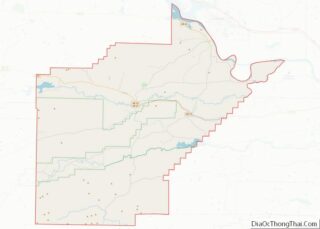
Map of Arkansas State and its subdivision:- Arkansas
- Ashley
- Baxter
- Benton
- Boone
- Bradley
- Calhoun
- Carroll
- Chicot
- Clark
- Clay
- Cleburne
- Cleveland
- Columbia
- Conway
- Craighead
- Crawford
- Crittenden
- Cross
- Dallas
- Desha
- Drew
- Faulkner
- Franklin
- Fulton
- Garland
- Grant
- Greene
- Hempstead
- Hot Spring
- Howard
- Independence
- Izard
- Jackson
- Jefferson
- Johnson
- Lafayette
- Lawrence
- Lee
- Lincoln
- Little River
- Logan
- Lonoke
- Madison
- Marion
- Miller
- Mississippi
- Monroe
- Montgomery
- Nevada
- Newton
- Ouachita
- Perry
- Phillips
- Pike
- Poinsett
- Polk
- Pope
- Prairie
- Pulaski
- Randolph
- Saint Francis
- Saline
- Scott
- Searcy
- Sebastian
- Sevier
- Sharp
- Stone
- Union
- Van Buren
- Washington
- White
- Woodruff
- Yell
- Alabama
- Alaska
- Arizona
- Arkansas
- California
- Colorado
- Connecticut
- Delaware
- District of Columbia
- Florida
- Georgia
- Hawaii
- Idaho
- Illinois
- Indiana
- Iowa
- Kansas
- Kentucky
- Louisiana
- Maine
- Maryland
- Massachusetts
- Michigan
- Minnesota
- Mississippi
- Missouri
- Montana
- Nebraska
- Nevada
- New Hampshire
- New Jersey
- New Mexico
- New York
- North Carolina
- North Dakota
- Ohio
- Oklahoma
- Oregon
- Pennsylvania
- Rhode Island
- South Carolina
- South Dakota
- Tennessee
- Texas
- Utah
- Vermont
- Virginia
- Washington
- West Virginia
- Wisconsin
- Wyoming