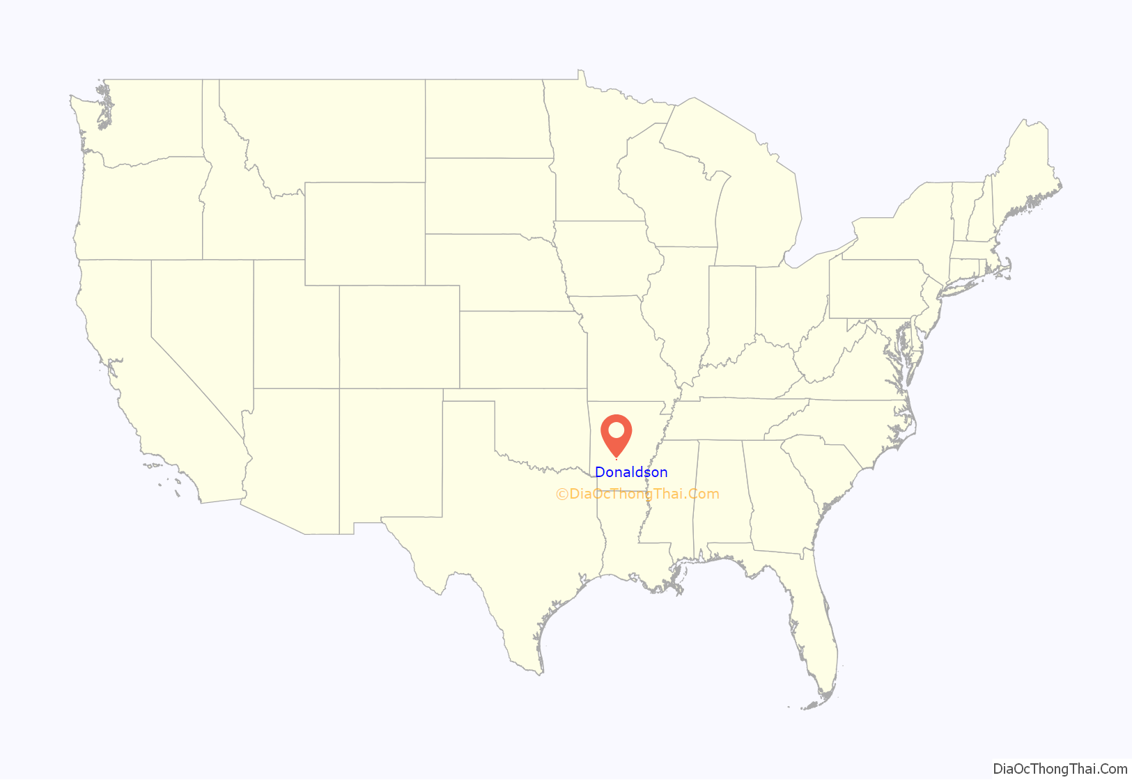
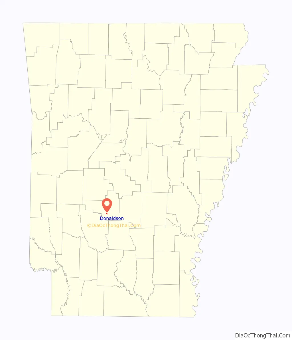
Donaldson is a town in Hot Spring County, Arkansas, United States. The population was 301 at the 2010 census.
| Name: | Donaldson town |
|---|---|
| LSAD Code: | 43 |
| LSAD Description: | town (suffix) |
| State: | Arkansas |
| County: | Hot Spring County |
| Elevation: | 230 ft (70 m) |
| Total Area: | 0.59 sq mi (1.53 km²) |
| Land Area: | 0.59 sq mi (1.53 km²) |
| Water Area: | 0.00 sq mi (0.00 km²) |
| Total Population: | 275 |
| Population Density: | 465.31/sq mi (179.74/km²) |
| ZIP code: | 71941 |
| Area code: | 501 |
| FIPS code: | 0519450 |
| GNISfeature ID: | 0057673 |
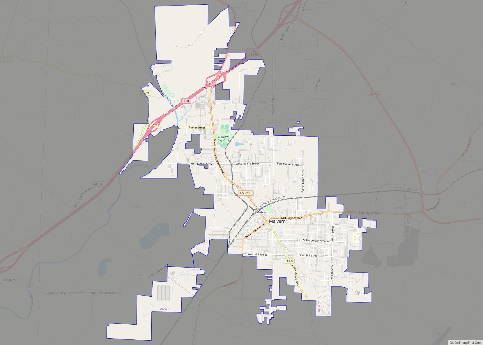
Online Interactive Map
Click on ![]() to view map in "full screen" mode.
to view map in "full screen" mode.
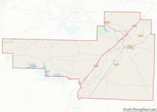
Donaldson location map. Where is Donaldson town?
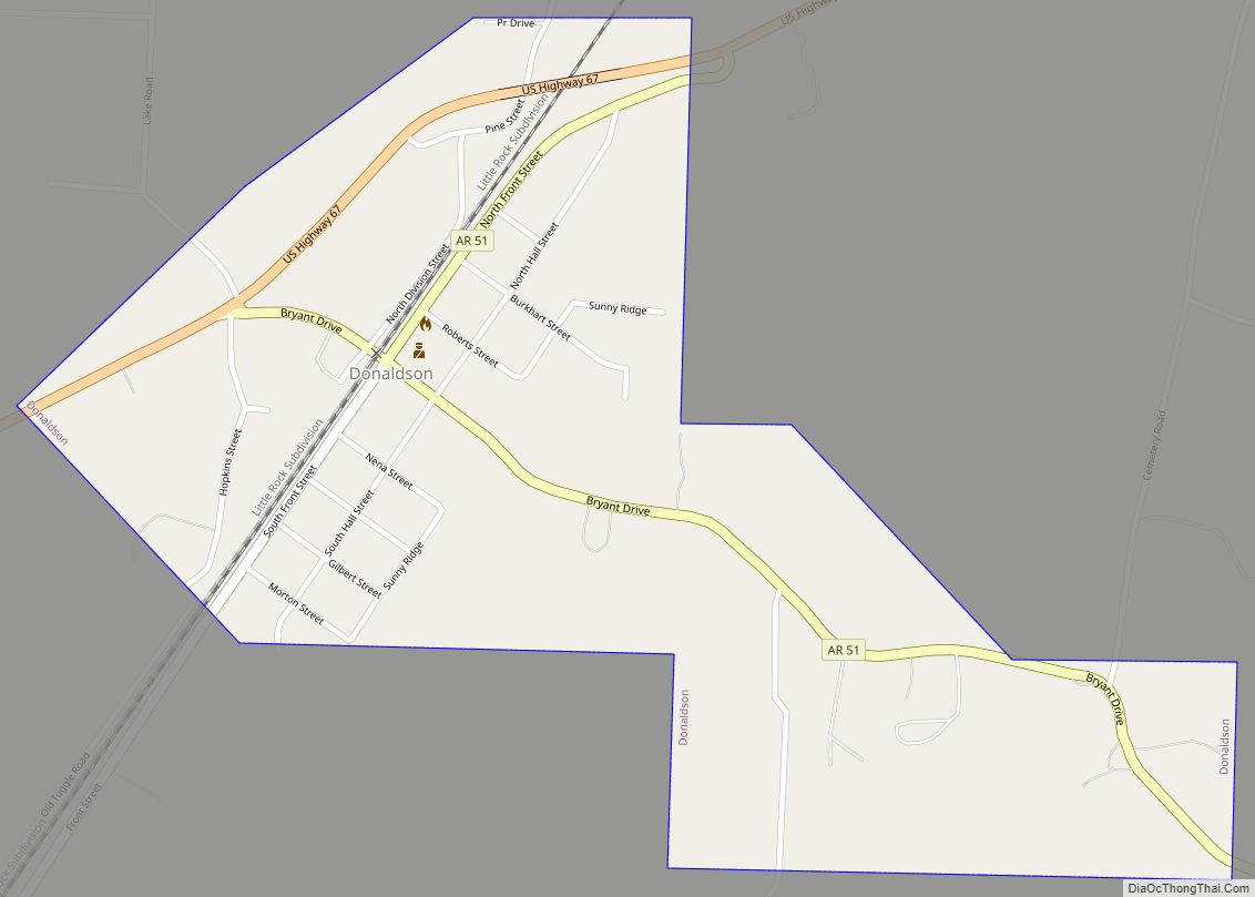
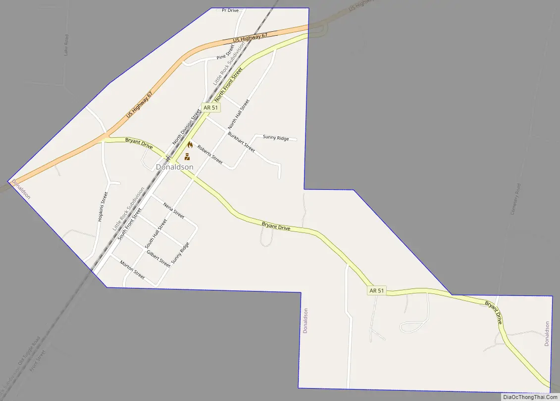
Donaldson Road Map
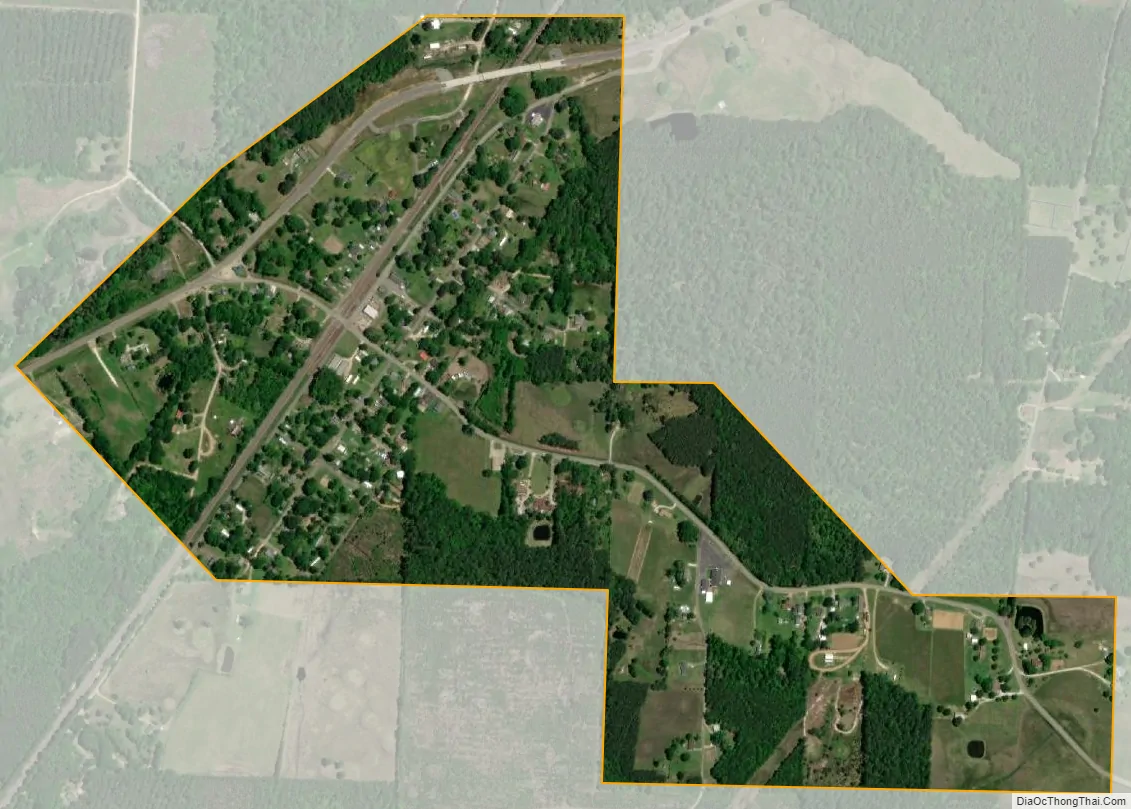
Donaldson city Satellite Map
Geography
Donaldson is located in southern Hot Spring County at 34°14′14″N 92°55′16″W / 34.23722°N 92.92111°W / 34.23722; -92.92111 (34.237169, -92.921177), in the valley of the Ouachita River, which passes 2 miles (3 km) west of the town. U.S. Route 67 runs through the northern side of the community, leading northeast 11 miles (18 km) to Malvern, the county seat, and southwest 14 miles (23 km) to Arkadelphia. Arkansas Highway 51 has its northern terminus in Donaldson and leads 17 miles (27 km) to Arkadelphia by a more southerly route.
According to the United States Census Bureau, Donaldson has a total area of 0.66 square miles (1.7 km), all land.
See also
Map of Arkansas State and its subdivision:- Arkansas
- Ashley
- Baxter
- Benton
- Boone
- Bradley
- Calhoun
- Carroll
- Chicot
- Clark
- Clay
- Cleburne
- Cleveland
- Columbia
- Conway
- Craighead
- Crawford
- Crittenden
- Cross
- Dallas
- Desha
- Drew
- Faulkner
- Franklin
- Fulton
- Garland
- Grant
- Greene
- Hempstead
- Hot Spring
- Howard
- Independence
- Izard
- Jackson
- Jefferson
- Johnson
- Lafayette
- Lawrence
- Lee
- Lincoln
- Little River
- Logan
- Lonoke
- Madison
- Marion
- Miller
- Mississippi
- Monroe
- Montgomery
- Nevada
- Newton
- Ouachita
- Perry
- Phillips
- Pike
- Poinsett
- Polk
- Pope
- Prairie
- Pulaski
- Randolph
- Saint Francis
- Saline
- Scott
- Searcy
- Sebastian
- Sevier
- Sharp
- Stone
- Union
- Van Buren
- Washington
- White
- Woodruff
- Yell
- Alabama
- Alaska
- Arizona
- Arkansas
- California
- Colorado
- Connecticut
- Delaware
- District of Columbia
- Florida
- Georgia
- Hawaii
- Idaho
- Illinois
- Indiana
- Iowa
- Kansas
- Kentucky
- Louisiana
- Maine
- Maryland
- Massachusetts
- Michigan
- Minnesota
- Mississippi
- Missouri
- Montana
- Nebraska
- Nevada
- New Hampshire
- New Jersey
- New Mexico
- New York
- North Carolina
- North Dakota
- Ohio
- Oklahoma
- Oregon
- Pennsylvania
- Rhode Island
- South Carolina
- South Dakota
- Tennessee
- Texas
- Utah
- Vermont
- Virginia
- Washington
- West Virginia
- Wisconsin
- Wyoming