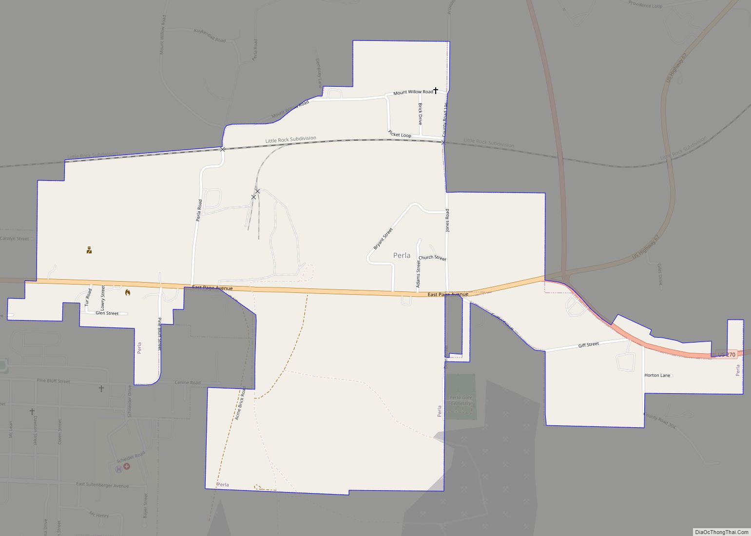
Perla is a town in Hot Spring County, Arkansas, United States. The population was 241 at the 2010 census, up from 115 at the 2000 census. The city’s water association filed for Chapter 9 Bankruptcy in the Western District of Arkansas Bankruptcy Court on May 26, 2019.
| Name: | Perla town |
|---|---|
| LSAD Code: | 43 |
| LSAD Description: | town (suffix) |
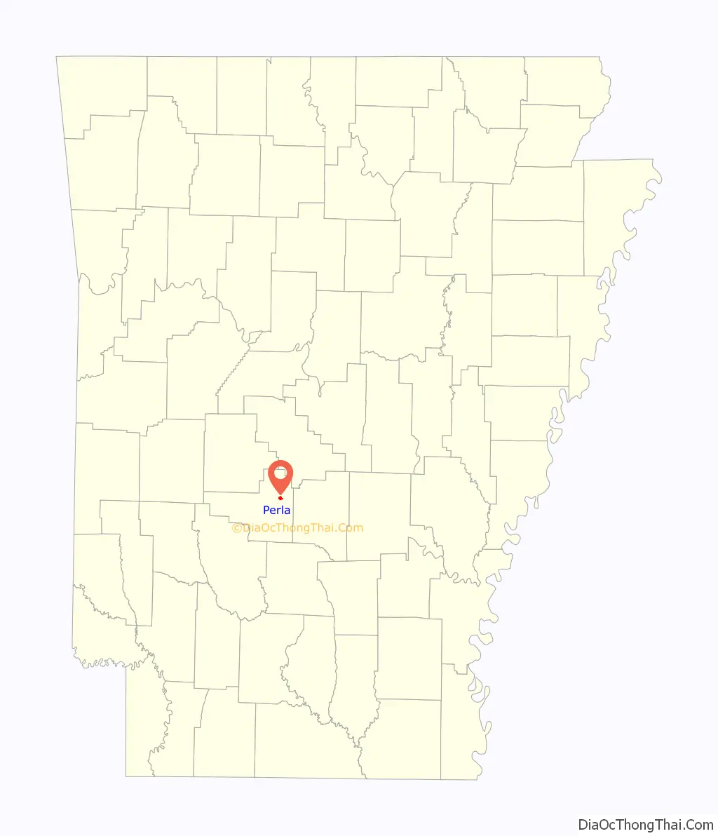
| State: | Arkansas |
| County: | Hot Spring County |
| Elevation: | 335 ft (102 m) |
| Total Area: | 0.96 sq mi (2.49 km²) |
| Land Area: | 0.96 sq mi (2.49 km²) |
| Water Area: | 0.00 sq mi (0.00 km²) |
| Total Population: | 257 |
| Population Density: | 266.87/sq mi (103.08/km²) |
| ZIP code: | 72104 |
| Area code: | 501 |
| FIPS code: | 0554620 |
| GNISfeature ID: | 0053285 |
Online Interactive Map
Click on ![]() to view map in "full screen" mode.
to view map in "full screen" mode.
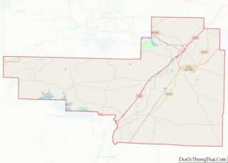
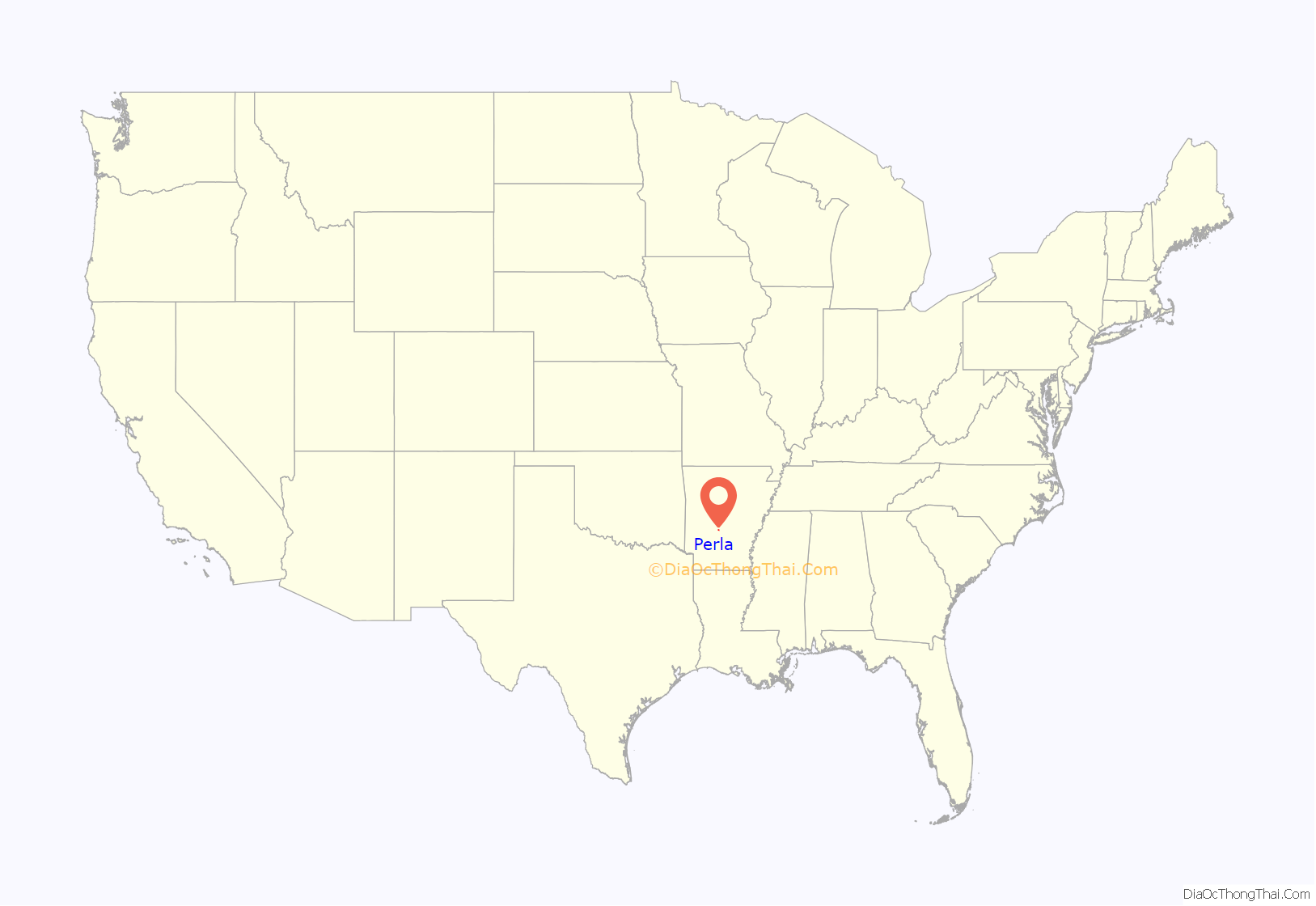
Perla location map. Where is Perla town?
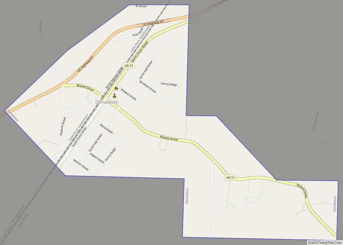
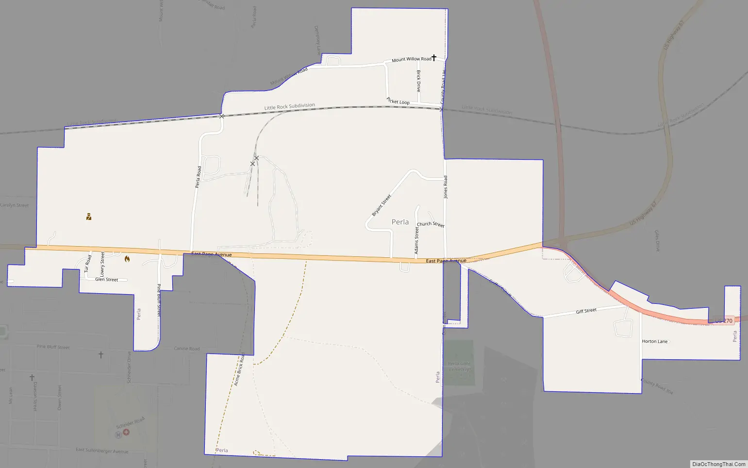
Perla Road Map
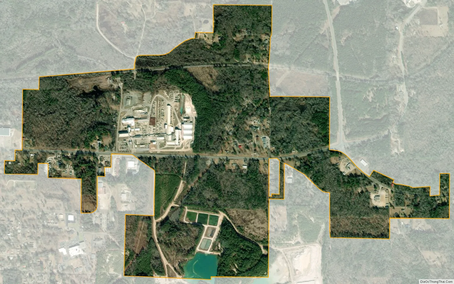
Perla city Satellite Map
Geography
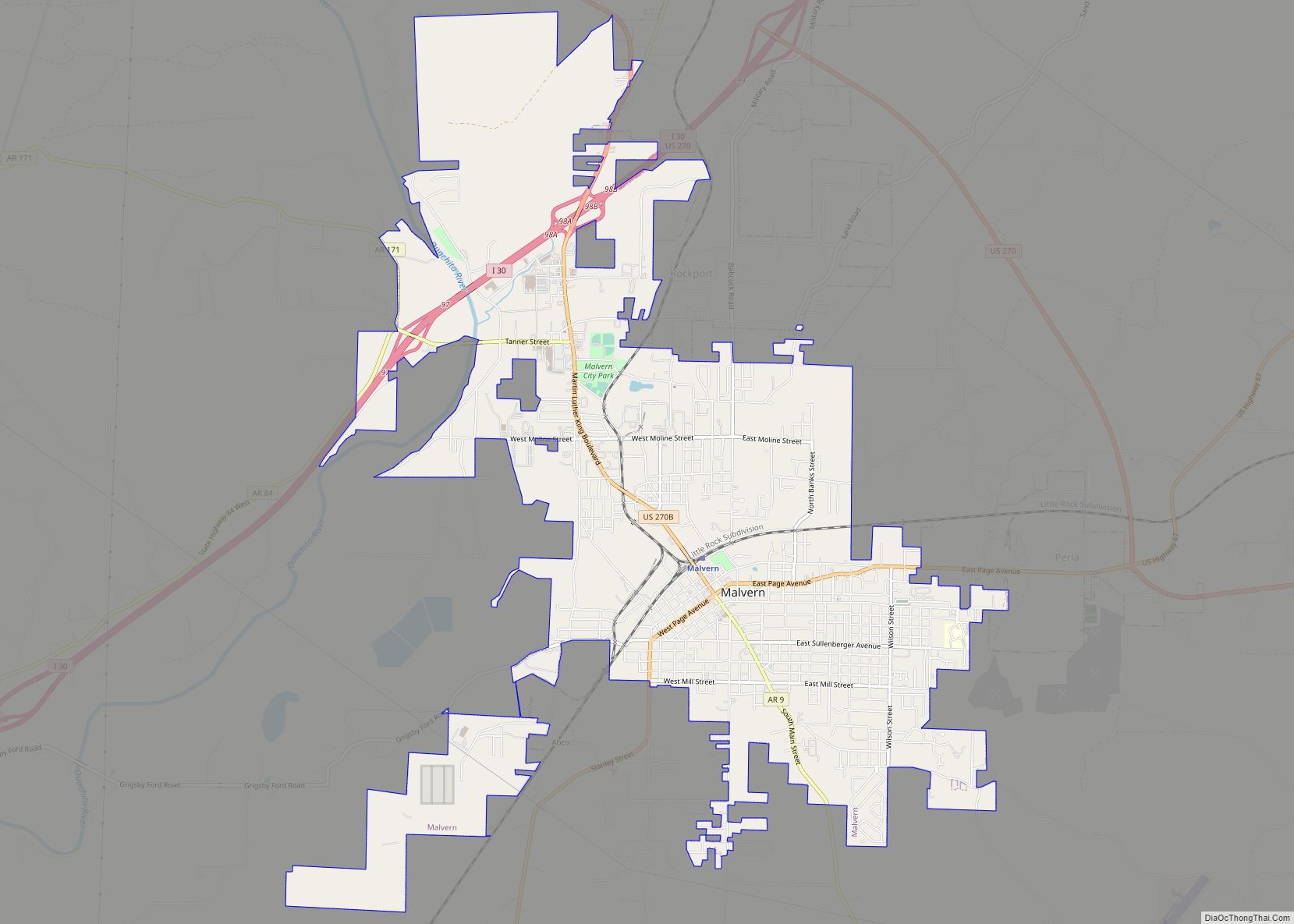
Perla is located in northeastern Hot Spring County at 34°21′52″N 92°46′44″W / 34.36444°N 92.77889°W / 34.36444; -92.77889 (34.364535, -92.778771). It is bordered to the west by the city of Malvern, the Hot Spring County seat. U.S. Route 67 runs through the center of Perla, leading west into Malvern and northeast 20 miles (32 km) to Benton. U.S. Route 270 passes through the eastern end of Perla, leading east 22 miles (35 km) to Sheridan and northwest 4 miles (6 km) to Interstate 30.
According to the United States Census Bureau, Perla has a total area of 0.93 square miles (2.4 km), all land.
See also
Map of Arkansas State and its subdivision:- Arkansas
- Ashley
- Baxter
- Benton
- Boone
- Bradley
- Calhoun
- Carroll
- Chicot
- Clark
- Clay
- Cleburne
- Cleveland
- Columbia
- Conway
- Craighead
- Crawford
- Crittenden
- Cross
- Dallas
- Desha
- Drew
- Faulkner
- Franklin
- Fulton
- Garland
- Grant
- Greene
- Hempstead
- Hot Spring
- Howard
- Independence
- Izard
- Jackson
- Jefferson
- Johnson
- Lafayette
- Lawrence
- Lee
- Lincoln
- Little River
- Logan
- Lonoke
- Madison
- Marion
- Miller
- Mississippi
- Monroe
- Montgomery
- Nevada
- Newton
- Ouachita
- Perry
- Phillips
- Pike
- Poinsett
- Polk
- Pope
- Prairie
- Pulaski
- Randolph
- Saint Francis
- Saline
- Scott
- Searcy
- Sebastian
- Sevier
- Sharp
- Stone
- Union
- Van Buren
- Washington
- White
- Woodruff
- Yell
- Alabama
- Alaska
- Arizona
- Arkansas
- California
- Colorado
- Connecticut
- Delaware
- District of Columbia
- Florida
- Georgia
- Hawaii
- Idaho
- Illinois
- Indiana
- Iowa
- Kansas
- Kentucky
- Louisiana
- Maine
- Maryland
- Massachusetts
- Michigan
- Minnesota
- Mississippi
- Missouri
- Montana
- Nebraska
- Nevada
- New Hampshire
- New Jersey
- New Mexico
- New York
- North Carolina
- North Dakota
- Ohio
- Oklahoma
- Oregon
- Pennsylvania
- Rhode Island
- South Carolina
- South Dakota
- Tennessee
- Texas
- Utah
- Vermont
- Virginia
- Washington
- West Virginia
- Wisconsin
- Wyoming