Malvern is a city in and the county seat of Hot Spring County, Arkansas, United States. Founded as a railroad stop at the eastern edge of the Ouachita Mountains, the community’s history and economy have been tied to available agricultural and mineral resources. The production of bricks from locally available clay has earned the city the nickname, “The Brick Capital of the World”. The city had a population of 10,318 at the time of the 2010 census, and in 2019 the estimated population was 10,931.
| Name: | Malvern city |
|---|---|
| LSAD Code: | 25 |
| LSAD Description: | city (suffix) |
| State: | Arkansas |
| County: | Hot Spring County |
| Incorporated: | July 22, 1876 |
| Elevation: | 315 ft (96 m) |
| Total Area: | 9.92 sq mi (25.69 km²) |
| Land Area: | 9.86 sq mi (25.55 km²) |
| Water Area: | 0.06 sq mi (0.14 km²) |
| Total Population: | 10,867 |
| Population Density: | 1,101.68/sq mi (425.38/km²) |
| ZIP code: | 72104 |
| Area code: | 501 |
| FIPS code: | 0543610 |
| GNISfeature ID: | 0077584 |
| Website: | malvernar.gov |
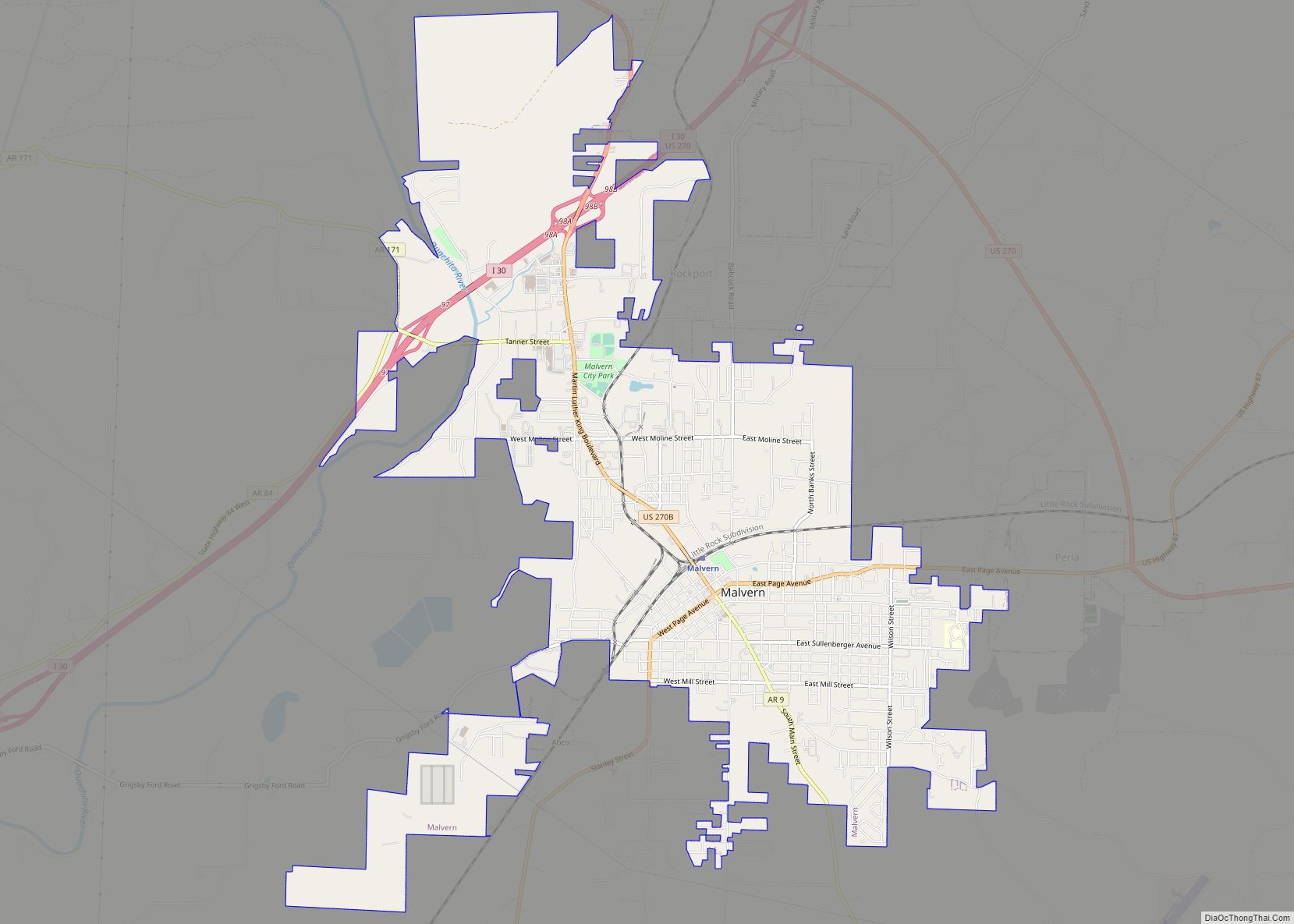
Online Interactive Map
Click on ![]() to view map in "full screen" mode.
to view map in "full screen" mode.
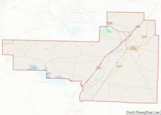
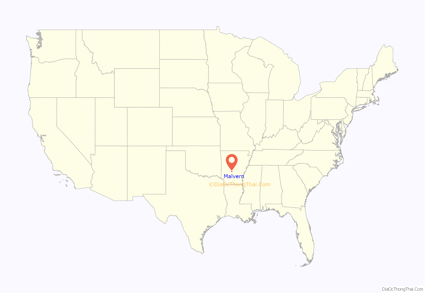
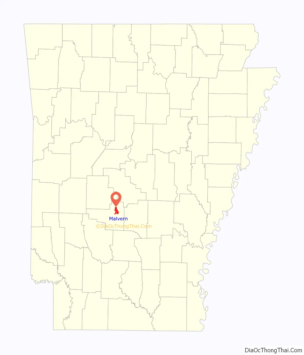
Malvern location map. Where is Malvern city?
History
Named after Malvern Hill, Virginia, Malvern was founded in 1870 by the Cairo and Fulton Railroad as a city site 21 miles (34 km) southeast of Hot Springs. On October 15, 1878, Malvern officially became the county seat of Hot Spring County. The original inhabitants of the county were Native Americans, trappers, hunters, and farmers.
The Hot Springs Railroad, often referred to as the Diamond Jo line, was established as a narrow-gauge railroad by Chicago businessman Joseph Reynolds in 1874. Reynolds began building the Hot Springs Railroad, which extends northwest from Malvern Junction, a station on the Cairo & Fulton, to Hot Springs, after he had endured unsatisfactory stagecoach rides to the latter city. Because Malvern was the closest railroad station to Hot Springs, it became an important junction point for passengers transferring from rail to stagecoach to complete their journey to the spas in Hot Springs. This was the only railroad into Hot Springs for 15 years. The opening of the Little Rock & Hot Springs Western Railroad in April 1900 provided a more direct access to Hot Springs from Little Rock and the north, and both the Choctaw, Oklahoma & Gulf and the Iron Mountain took advantage of this route, effectively cutting the volume of interchange traffic into Malvern. By 1902 passenger train shuttle service through Malvern had essentially ended.
The Malvern Police Department lost Carson Smith, the deputy, and three officers in the line of duty, all shot to death during the 1930s. They were Clyde Davis, Leslie Lee Potts, and Hiram Potts. Davis and Leslie Lee Potts were both shot during a domestic dispute on April 21, 1933, a shootout in which they killed the suspect. Hiram Potts, who was related to Leslie Lee Potts, was shot and killed during his March 4, 1935, attempt to arrest two men who were boarding a train illegally.
During World War II, hundreds of Malvernites moved to the Los Angeles area to take advantage of work in the shipyards—apparently spurred by a couple of residents who found work there and wrote home boasting of 88-cent/hour jobs, which was a decent wage for the time.
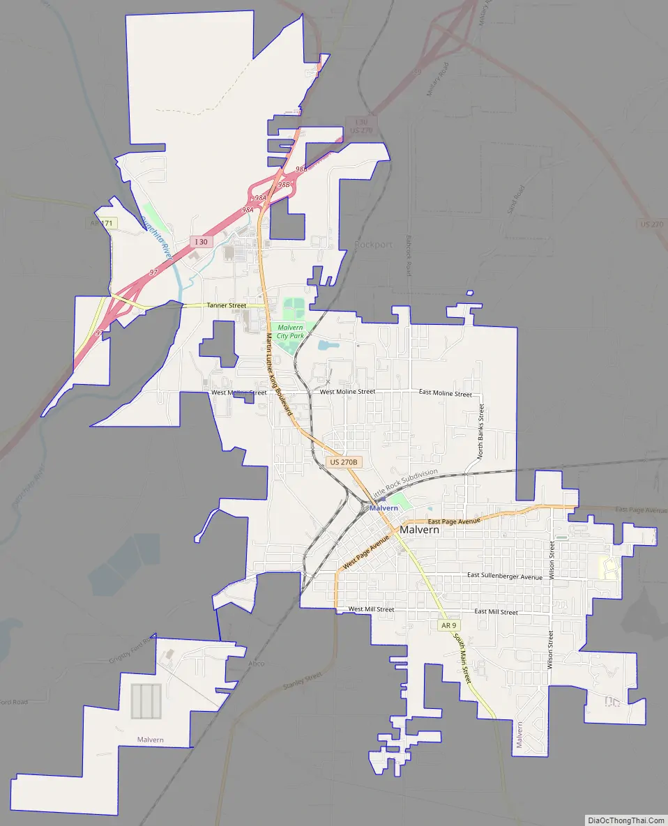
Malvern Road Map
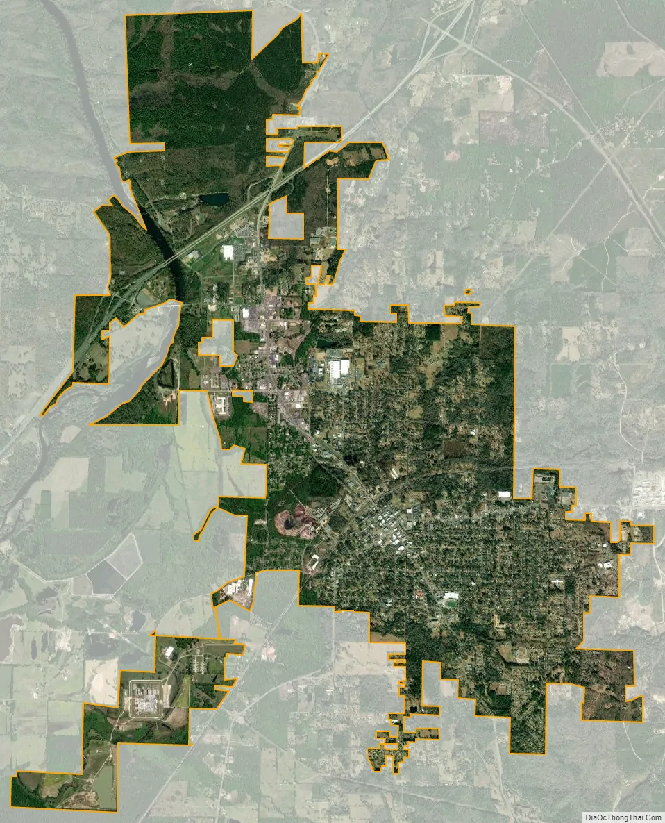
Malvern city Satellite Map
Geography
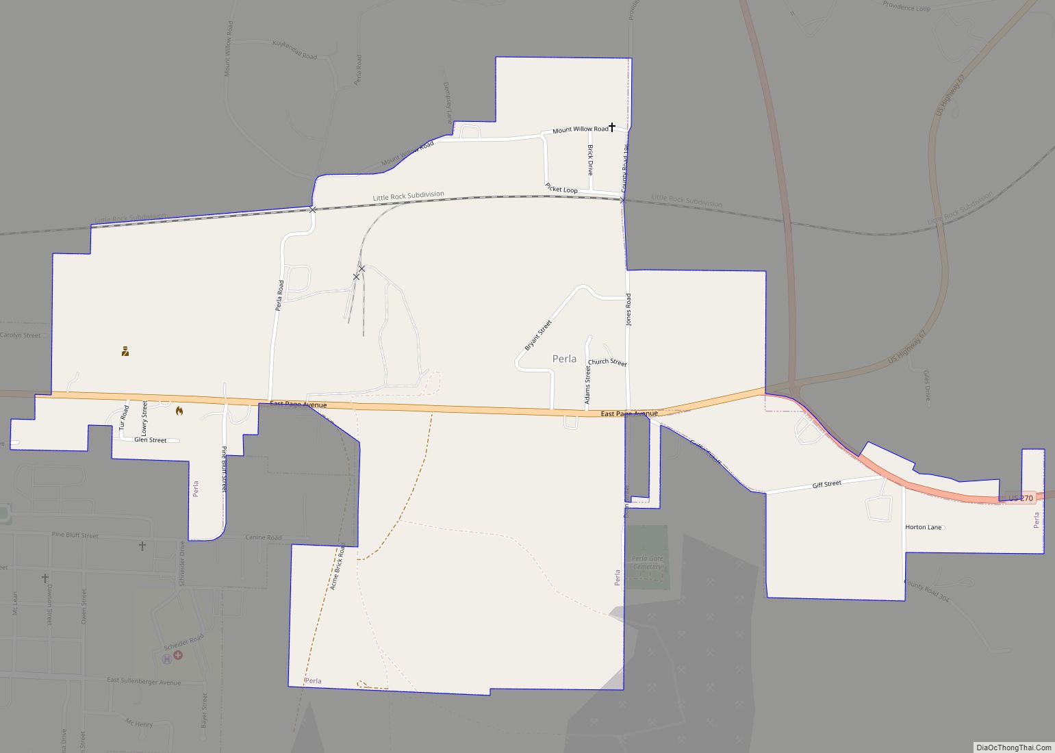
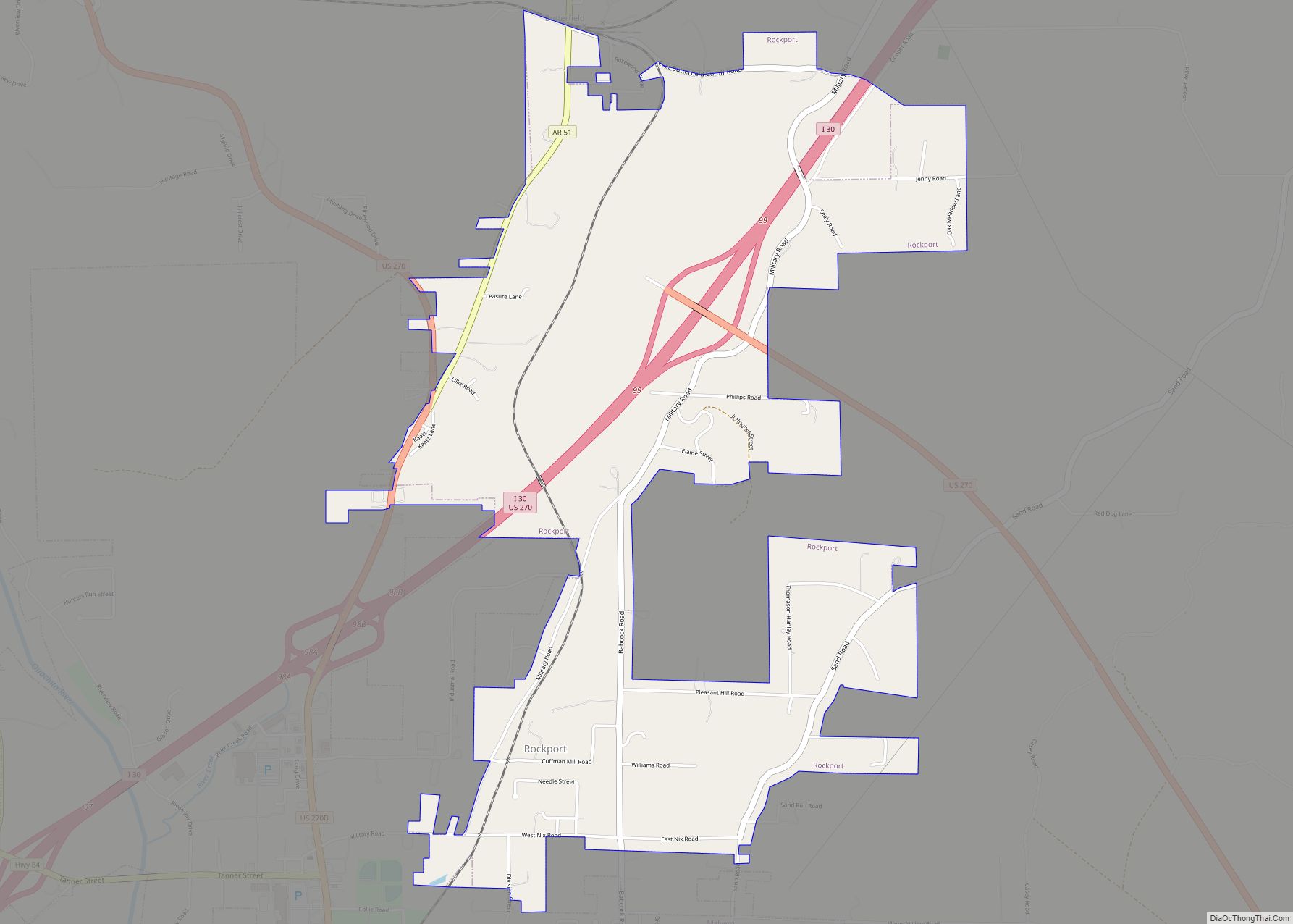
Malvern is in northeastern Hot Spring County, southeast of the Ouachita River where it exits the Ouachita Mountains. It is bordered to the north by Rockport and to the east by Perla.
Interstate 30 passes through the northwest part of Malvern, with access from Exits 97, 98, and 99. I-30 leads northeast 44 miles (71 km) to Little Rock, the state capital, and southwest 100 miles (160 km) to Texarkana. U.S. Route 67 (Page Avenue) runs through the center of Malvern, leading northeast 22 miles (35 km) to Benton and southwest 25 miles (40 km) to Arkadelphia. U.S. Route 270 passes northeast of Malvern on a bypass, leading east 24 miles (39 km) to Sheridan and northwest 20 miles (32 km) to Hot Springs. Arkansas Highway 9 (Main Street) leads south from the center of Malvern 64 miles (103 km) to Camden.
According to the United States Census Bureau, Malvern has a total area of 8.7 square miles (22.6 km), of which 8.6 square miles (22.4 km) are land and 0.1 square miles (0.2 km), or 0.79%, are water.
Climate
The climate in this area is characterized by hot, humid summers and generally mild to cool winters. According to the Köppen Climate Classification system, Malvern has a humid subtropical climate, abbreviated “Cfa” on climate maps.
See also
Map of Arkansas State and its subdivision:- Arkansas
- Ashley
- Baxter
- Benton
- Boone
- Bradley
- Calhoun
- Carroll
- Chicot
- Clark
- Clay
- Cleburne
- Cleveland
- Columbia
- Conway
- Craighead
- Crawford
- Crittenden
- Cross
- Dallas
- Desha
- Drew
- Faulkner
- Franklin
- Fulton
- Garland
- Grant
- Greene
- Hempstead
- Hot Spring
- Howard
- Independence
- Izard
- Jackson
- Jefferson
- Johnson
- Lafayette
- Lawrence
- Lee
- Lincoln
- Little River
- Logan
- Lonoke
- Madison
- Marion
- Miller
- Mississippi
- Monroe
- Montgomery
- Nevada
- Newton
- Ouachita
- Perry
- Phillips
- Pike
- Poinsett
- Polk
- Pope
- Prairie
- Pulaski
- Randolph
- Saint Francis
- Saline
- Scott
- Searcy
- Sebastian
- Sevier
- Sharp
- Stone
- Union
- Van Buren
- Washington
- White
- Woodruff
- Yell
- Alabama
- Alaska
- Arizona
- Arkansas
- California
- Colorado
- Connecticut
- Delaware
- District of Columbia
- Florida
- Georgia
- Hawaii
- Idaho
- Illinois
- Indiana
- Iowa
- Kansas
- Kentucky
- Louisiana
- Maine
- Maryland
- Massachusetts
- Michigan
- Minnesota
- Mississippi
- Missouri
- Montana
- Nebraska
- Nevada
- New Hampshire
- New Jersey
- New Mexico
- New York
- North Carolina
- North Dakota
- Ohio
- Oklahoma
- Oregon
- Pennsylvania
- Rhode Island
- South Carolina
- South Dakota
- Tennessee
- Texas
- Utah
- Vermont
- Virginia
- Washington
- West Virginia
- Wisconsin
- Wyoming