Elm Springs is a city in Benton and Washington Counties, Arkansas, United States. Located immediately west of Springdale in the Northwest Arkansas metropolitan statistical area, Elm Springs has been gaining population in recent years, including a 47% increase in population between the 2000 and 2010 censuses.
| Name: | Elm Springs city |
|---|---|
| LSAD Code: | 25 |
| LSAD Description: | city (suffix) |
| State: | Arkansas |
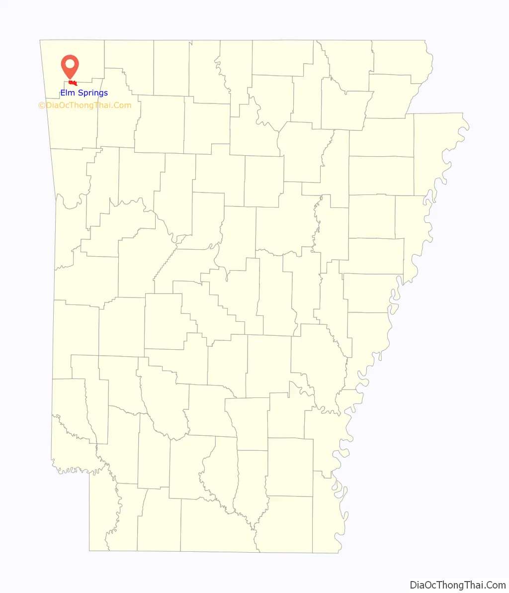
| County: | Benton County, Washington County |
| Founded: | 1832 |
| Incorporated: | May 23, 1917 |
| Elevation: | 1,158 ft (353 m) |
| Total Area: | 5.99 sq mi (15.50 km²) |
| Land Area: | 5.95 sq mi (15.41 km²) |
| Water Area: | 0.04 sq mi (0.09 km²) |
| Total Population: | 2,361 |
| Population Density: | 396.67/sq mi (153.17/km²) |
| ZIP code: | 72728 |
| Area code: | 479 |
| FIPS code: | 0521430 |
| GNISfeature ID: | 2403561 |
| Website: | www.elmsprings.net |
Online Interactive Map
Click on ![]() to view map in "full screen" mode.
to view map in "full screen" mode.
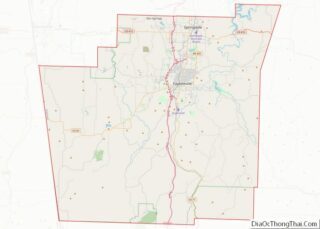
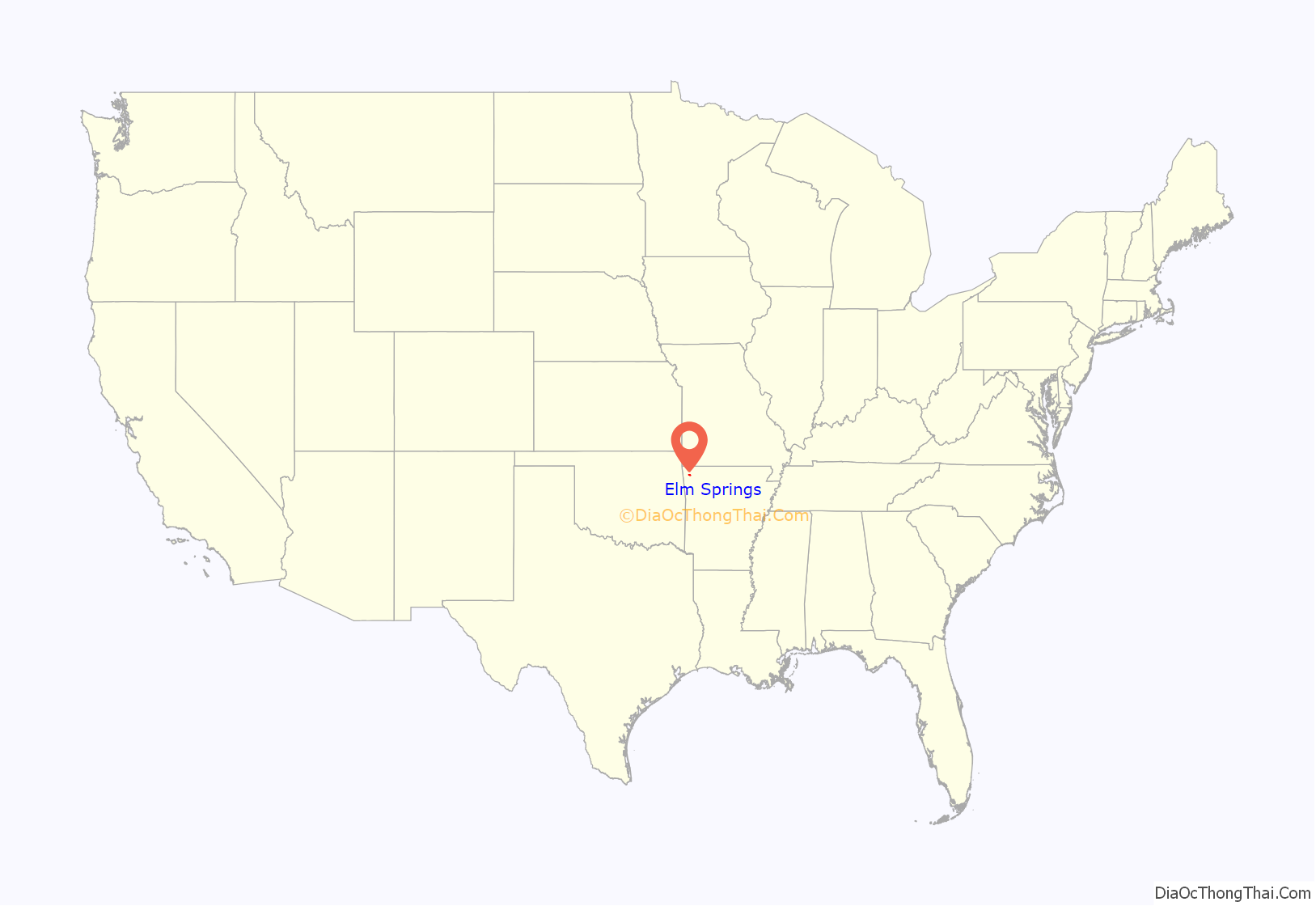
Elm Springs location map. Where is Elm Springs city?
History
The first permanent settlement at Elm Springs was made in the 1840s. The town took its name from a large spring near the original town site.
Civil War
Elm Springs served as a gathering point for newly recruited confederate soldiers in 1861 prior to the Battle of Pea Ridge. By 1862, Elm Spring was a mustering site for confederate units from Arkansas and Missouri. Two minor skirmishes were fought in Elm Springs on April 26, and July 30, 1863.
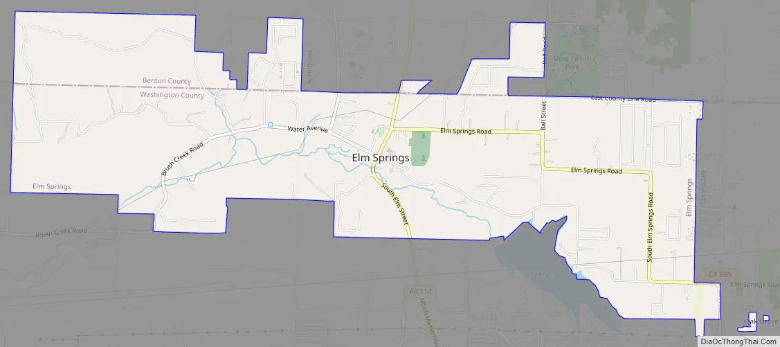
Elm Springs Road Map
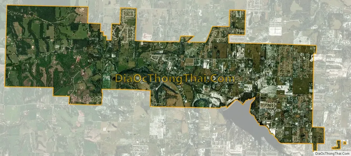
Elm Springs city Satellite Map
Geography
Elm Springs is located between the Boston Mountains and the Springfield Plateau within the Ozark Mountains. Initially a community surrounding a spring-fed mill, the community flourished even after the mill’s destruction during the Civil War.
According to the United States Census Bureau, the city has a total area of 5.79 sq mi (15.0 km).
See also
Map of Arkansas State and its subdivision:- Arkansas
- Ashley
- Baxter
- Benton
- Boone
- Bradley
- Calhoun
- Carroll
- Chicot
- Clark
- Clay
- Cleburne
- Cleveland
- Columbia
- Conway
- Craighead
- Crawford
- Crittenden
- Cross
- Dallas
- Desha
- Drew
- Faulkner
- Franklin
- Fulton
- Garland
- Grant
- Greene
- Hempstead
- Hot Spring
- Howard
- Independence
- Izard
- Jackson
- Jefferson
- Johnson
- Lafayette
- Lawrence
- Lee
- Lincoln
- Little River
- Logan
- Lonoke
- Madison
- Marion
- Miller
- Mississippi
- Monroe
- Montgomery
- Nevada
- Newton
- Ouachita
- Perry
- Phillips
- Pike
- Poinsett
- Polk
- Pope
- Prairie
- Pulaski
- Randolph
- Saint Francis
- Saline
- Scott
- Searcy
- Sebastian
- Sevier
- Sharp
- Stone
- Union
- Van Buren
- Washington
- White
- Woodruff
- Yell
- Alabama
- Alaska
- Arizona
- Arkansas
- California
- Colorado
- Connecticut
- Delaware
- District of Columbia
- Florida
- Georgia
- Hawaii
- Idaho
- Illinois
- Indiana
- Iowa
- Kansas
- Kentucky
- Louisiana
- Maine
- Maryland
- Massachusetts
- Michigan
- Minnesota
- Mississippi
- Missouri
- Montana
- Nebraska
- Nevada
- New Hampshire
- New Jersey
- New Mexico
- New York
- North Carolina
- North Dakota
- Ohio
- Oklahoma
- Oregon
- Pennsylvania
- Rhode Island
- South Carolina
- South Dakota
- Tennessee
- Texas
- Utah
- Vermont
- Virginia
- Washington
- West Virginia
- Wisconsin
- Wyoming