Garfield is a town in Benton County, Arkansas, United States. The population was 593 at the 2020 census. It is part of the Northwest Arkansas region.
| Name: | Garfield town |
|---|---|
| LSAD Code: | 43 |
| LSAD Description: | town (suffix) |
| State: | Arkansas |
| County: | Benton County |
| Elevation: | 1,490 ft (450 m) |
| Total Area: | 3.09 sq mi (8.01 km²) |
| Land Area: | 3.09 sq mi (8.01 km²) |
| Water Area: | 0.00 sq mi (0.00 km²) |
| Total Population: | 593 |
| Population Density: | 191.85/sq mi (74.08/km²) |
| ZIP code: | 72732 |
| Area code: | 479 |
| FIPS code: | 0525750 |
| GNISfeature ID: | 2406542 |
| Website: | www.garfieldarkansas.org |
Online Interactive Map
Click on ![]() to view map in "full screen" mode.
to view map in "full screen" mode.
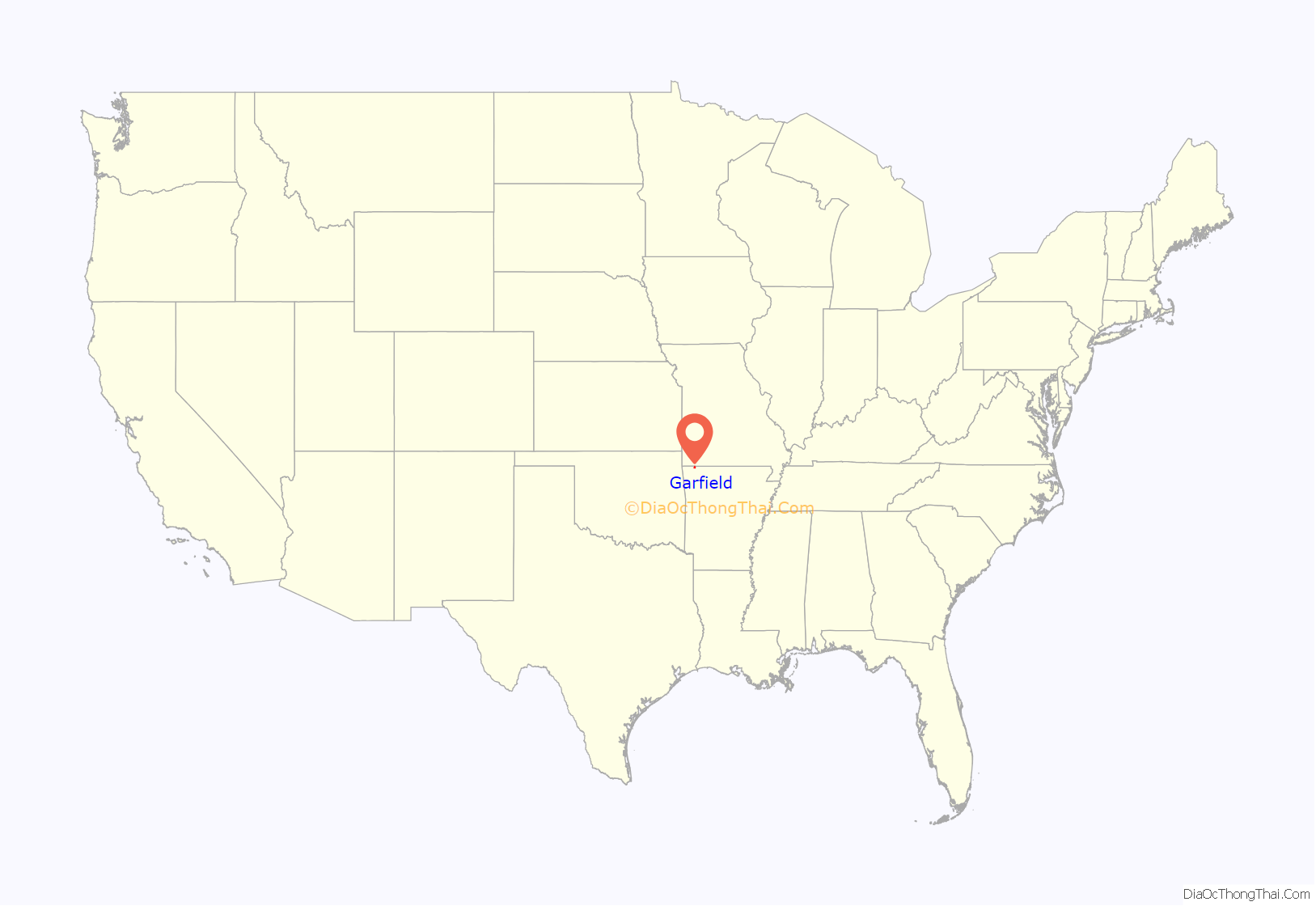
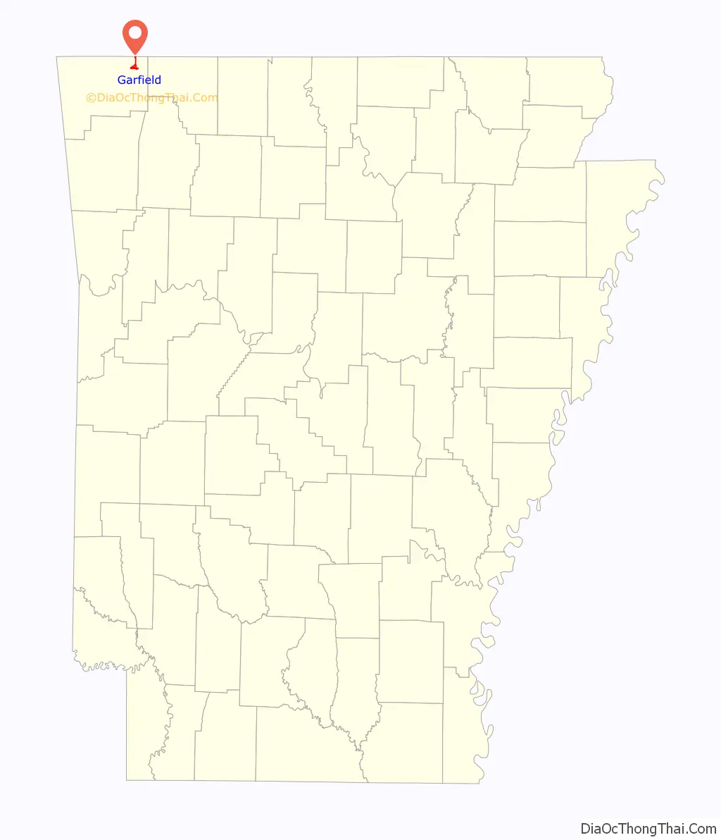
Garfield location map. Where is Garfield town?
History
Garfield was platted in 1883. A post office has been in operation at Garfield since 1887.
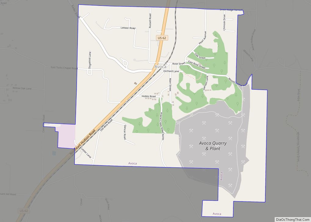
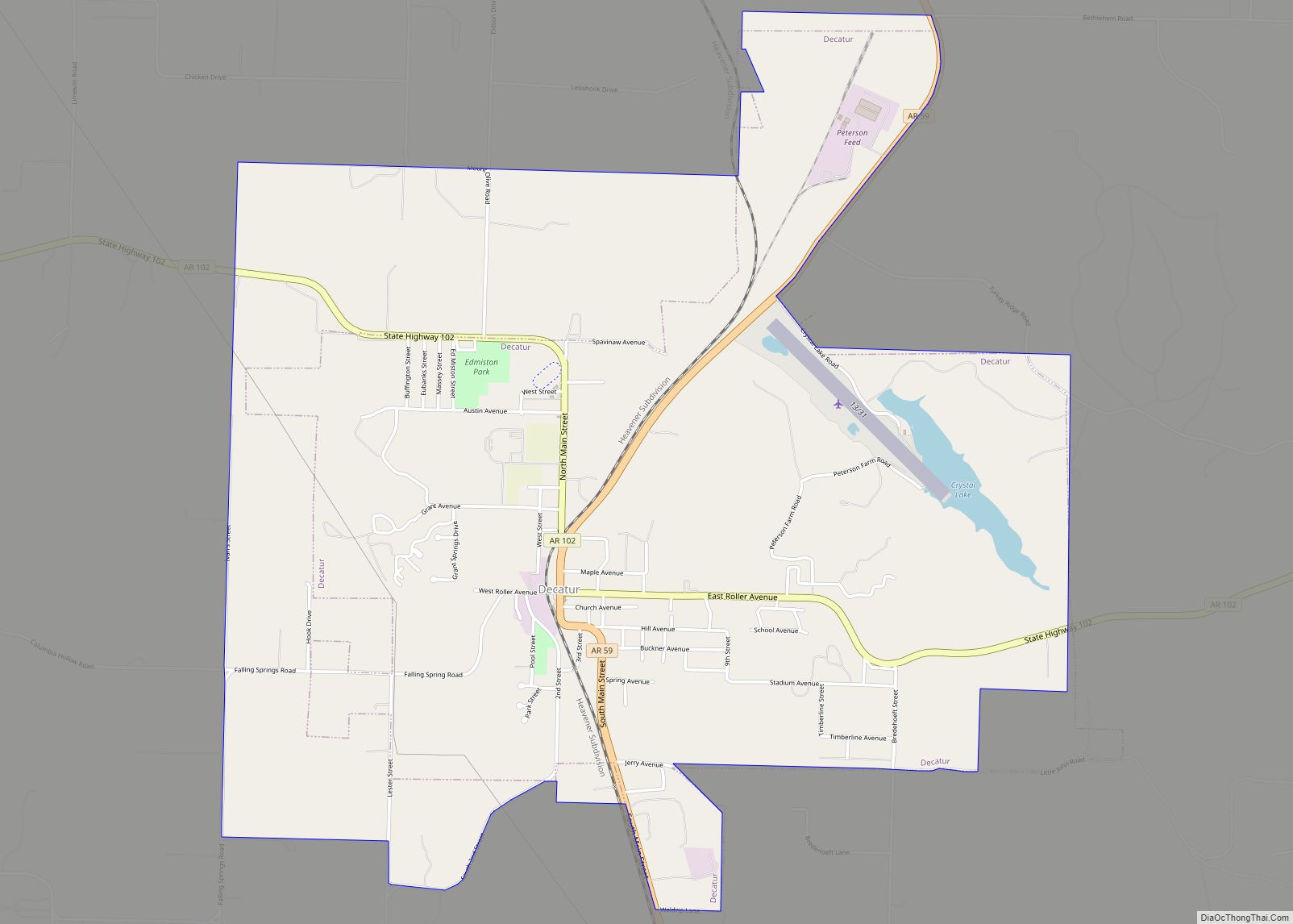
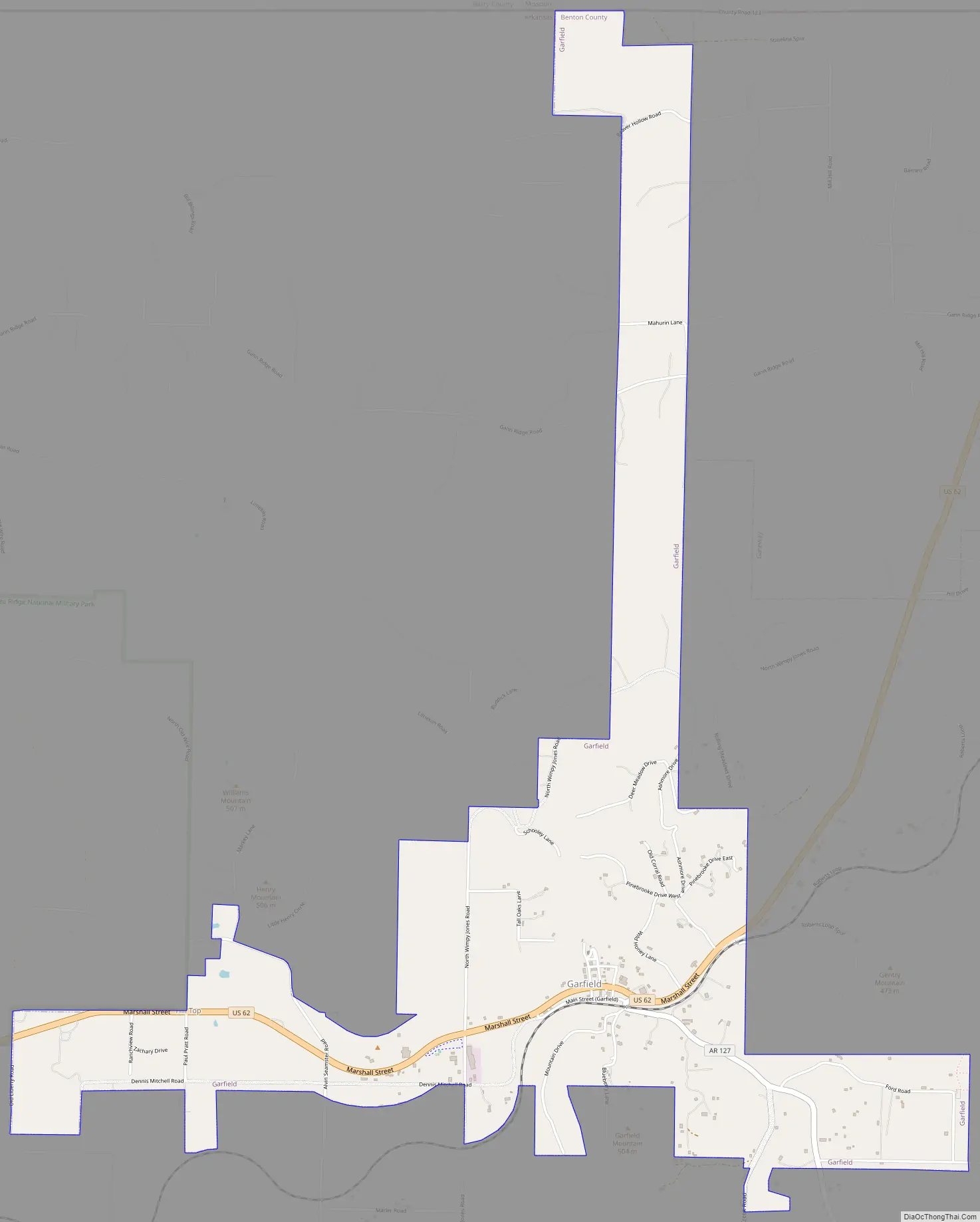
Garfield Road Map
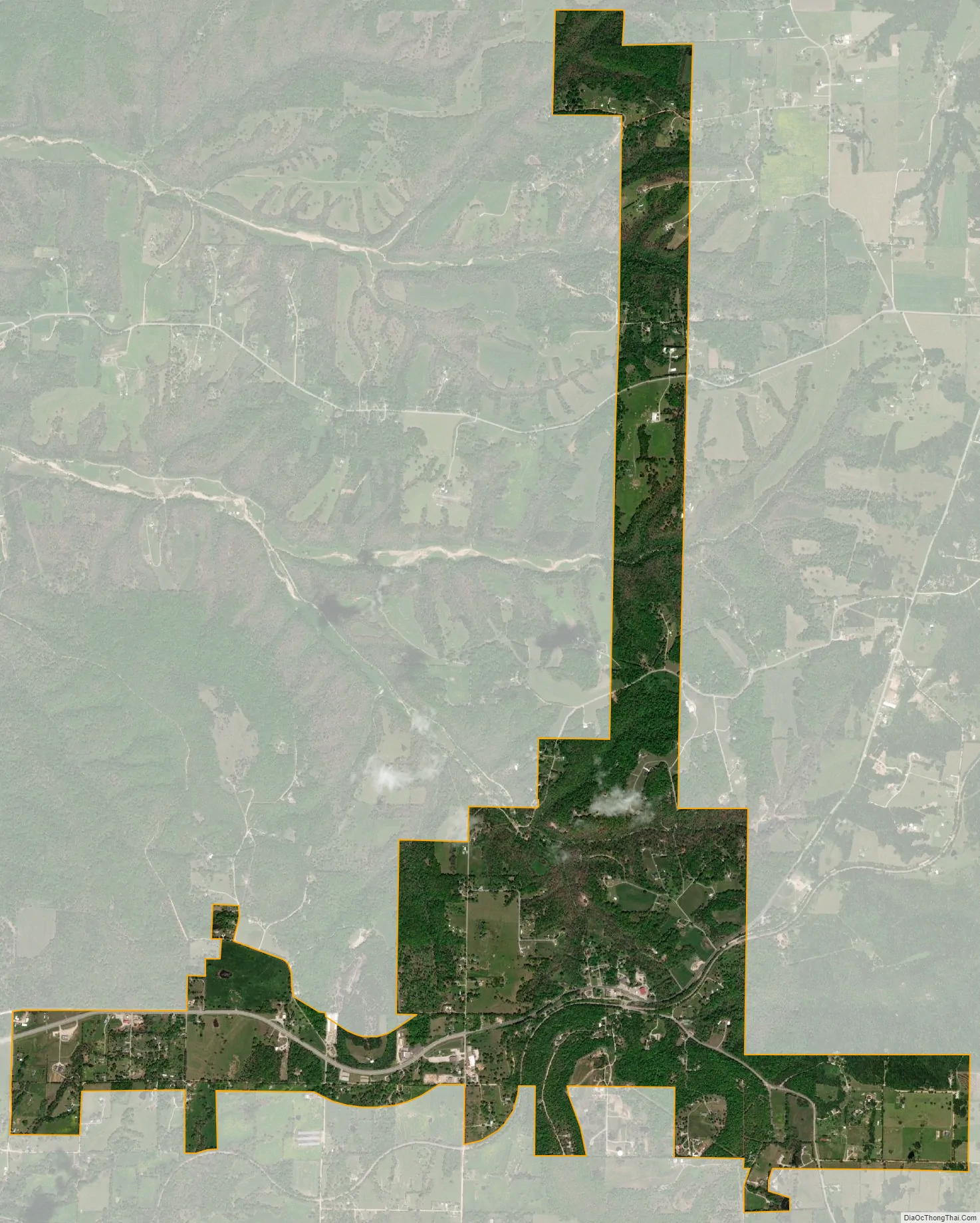
Garfield city Satellite Map
Geography
Garfield is located in northeast Benton County at 36°27′1″N 93°58′25″W / 36.45028°N 93.97361°W / 36.45028; -93.97361 (36.450152, -93.973519). U.S. Route 62 passes through the town, leading northeast to Gateway near the Missouri border and southwest to Rogers.
According to the United States Census Bureau, the town has a total area of 3.0 square miles (7.7 km), all land.
See also
Map of Arkansas State and its subdivision:- Arkansas
- Ashley
- Baxter
- Benton
- Boone
- Bradley
- Calhoun
- Carroll
- Chicot
- Clark
- Clay
- Cleburne
- Cleveland
- Columbia
- Conway
- Craighead
- Crawford
- Crittenden
- Cross
- Dallas
- Desha
- Drew
- Faulkner
- Franklin
- Fulton
- Garland
- Grant
- Greene
- Hempstead
- Hot Spring
- Howard
- Independence
- Izard
- Jackson
- Jefferson
- Johnson
- Lafayette
- Lawrence
- Lee
- Lincoln
- Little River
- Logan
- Lonoke
- Madison
- Marion
- Miller
- Mississippi
- Monroe
- Montgomery
- Nevada
- Newton
- Ouachita
- Perry
- Phillips
- Pike
- Poinsett
- Polk
- Pope
- Prairie
- Pulaski
- Randolph
- Saint Francis
- Saline
- Scott
- Searcy
- Sebastian
- Sevier
- Sharp
- Stone
- Union
- Van Buren
- Washington
- White
- Woodruff
- Yell
- Alabama
- Alaska
- Arizona
- Arkansas
- California
- Colorado
- Connecticut
- Delaware
- District of Columbia
- Florida
- Georgia
- Hawaii
- Idaho
- Illinois
- Indiana
- Iowa
- Kansas
- Kentucky
- Louisiana
- Maine
- Maryland
- Massachusetts
- Michigan
- Minnesota
- Mississippi
- Missouri
- Montana
- Nebraska
- Nevada
- New Hampshire
- New Jersey
- New Mexico
- New York
- North Carolina
- North Dakota
- Ohio
- Oklahoma
- Oregon
- Pennsylvania
- Rhode Island
- South Carolina
- South Dakota
- Tennessee
- Texas
- Utah
- Vermont
- Virginia
- Washington
- West Virginia
- Wisconsin
- Wyoming