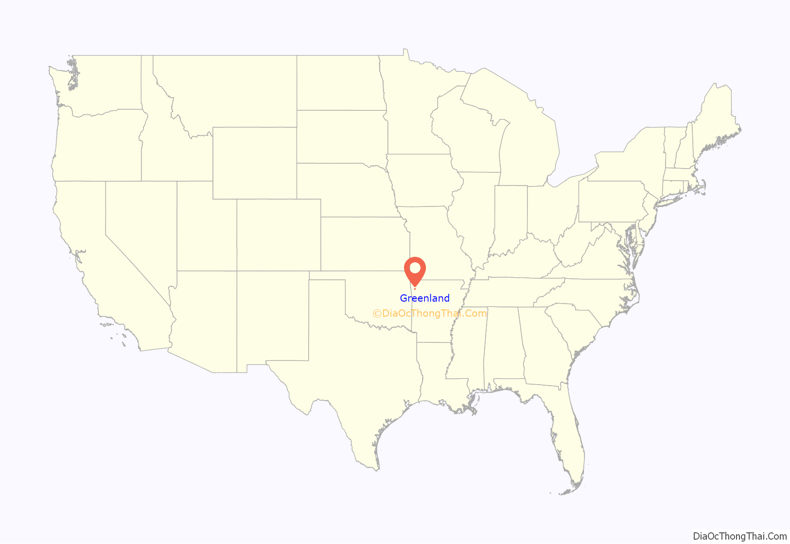
Greenland is a city in Washington County, Arkansas, United States. The population is 1,213 as of the 2020 census. The community is located in the Boston Mountains, within the Ozark Mountains.
| Name: | Greenland city |
|---|---|
| LSAD Code: | 25 |
| LSAD Description: | city (suffix) |
| State: | Arkansas |
| County: | Washington County |
| Elevation: | 1,293 ft (394 m) |
| Land Area: | 4.01 sq mi (10.39 km²) |
| Water Area: | 0.03 sq mi (0.09 km²) |
| Population Density: | 302.27/sq mi (116.69/km²) |
| ZIP code: | 72737 |
| Area code: | 479 |
| FIPS code: | 0528660 |
| GNISfeature ID: | 2403742 |
| Website: | www.greenland-ar.com |
Online Interactive Map
Click on ![]() to view map in "full screen" mode.
to view map in "full screen" mode.
Greenland location map. Where is Greenland city?
History
Early settlers found prosperity by growing fruit, including apples and a variety of berries, and raising chickens. The completion of the St. Louis–San Francisco Railway through the mountains in 1882 further grew the local economy, leading Greenland to incorporate in 1910. Located immediately south of Fayetteville in the Northwest Arkansas metropolitan statistical area, Greenland has been experiencing a population boom in recent years, as indicated by a 39% growth in population between the 2000 and 2010 censuses.
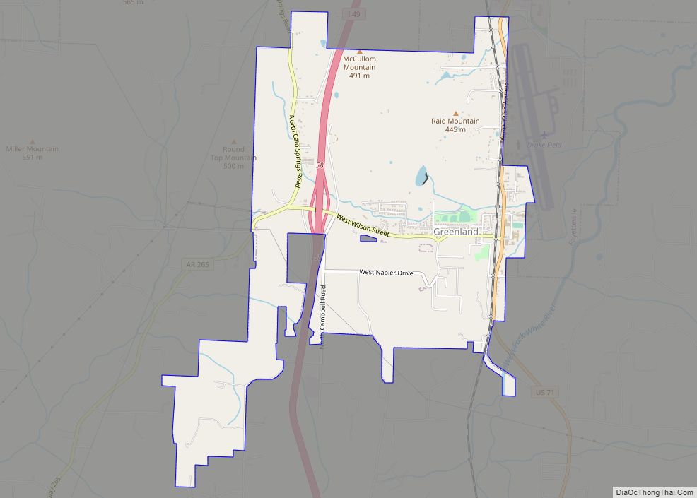
Greenland Road Map
Greenland city Satellite Map
Geography
According to the United States Census Bureau, the city has a total area of 2.7 square miles (7.0 km), of which 2.7 square miles (7.0 km) is land and 0.37% is water.
Climate
The climate in this area is characterized by hot, extremely humid summers and generally cool to very cold winters depending on elevation. According to the Köppen Climate Classification system, Greenland has a humid subtropical climate, abbreviated “Cfa” on climate maps.
See also
Map of Arkansas State and its subdivision:- Arkansas
- Ashley
- Baxter
- Benton
- Boone
- Bradley
- Calhoun
- Carroll
- Chicot
- Clark
- Clay
- Cleburne
- Cleveland
- Columbia
- Conway
- Craighead
- Crawford
- Crittenden
- Cross
- Dallas
- Desha
- Drew
- Faulkner
- Franklin
- Fulton
- Garland
- Grant
- Greene
- Hempstead
- Hot Spring
- Howard
- Independence
- Izard
- Jackson
- Jefferson
- Johnson
- Lafayette
- Lawrence
- Lee
- Lincoln
- Little River
- Logan
- Lonoke
- Madison
- Marion
- Miller
- Mississippi
- Monroe
- Montgomery
- Nevada
- Newton
- Ouachita
- Perry
- Phillips
- Pike
- Poinsett
- Polk
- Pope
- Prairie
- Pulaski
- Randolph
- Saint Francis
- Saline
- Scott
- Searcy
- Sebastian
- Sevier
- Sharp
- Stone
- Union
- Van Buren
- Washington
- White
- Woodruff
- Yell
- Alabama
- Alaska
- Arizona
- Arkansas
- California
- Colorado
- Connecticut
- Delaware
- District of Columbia
- Florida
- Georgia
- Hawaii
- Idaho
- Illinois
- Indiana
- Iowa
- Kansas
- Kentucky
- Louisiana
- Maine
- Maryland
- Massachusetts
- Michigan
- Minnesota
- Mississippi
- Missouri
- Montana
- Nebraska
- Nevada
- New Hampshire
- New Jersey
- New Mexico
- New York
- North Carolina
- North Dakota
- Ohio
- Oklahoma
- Oregon
- Pennsylvania
- Rhode Island
- South Carolina
- South Dakota
- Tennessee
- Texas
- Utah
- Vermont
- Virginia
- Washington
- West Virginia
- Wisconsin
- Wyoming
