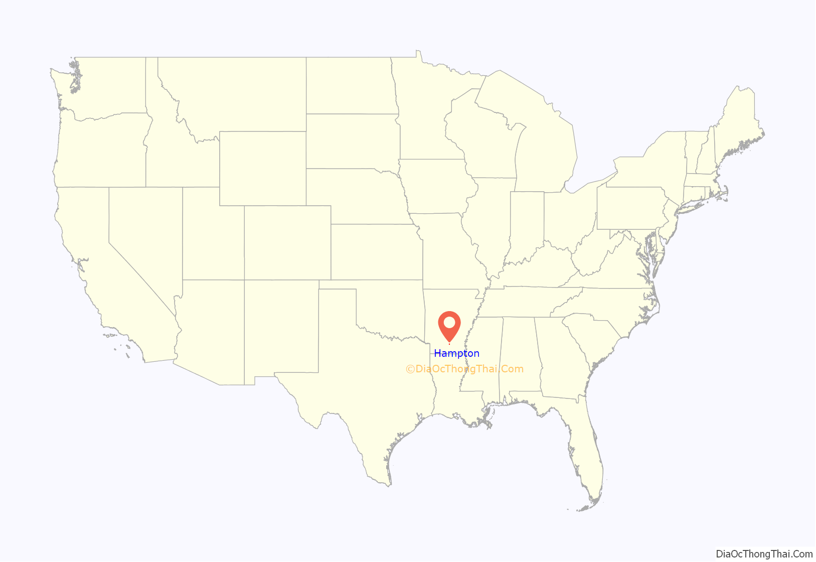
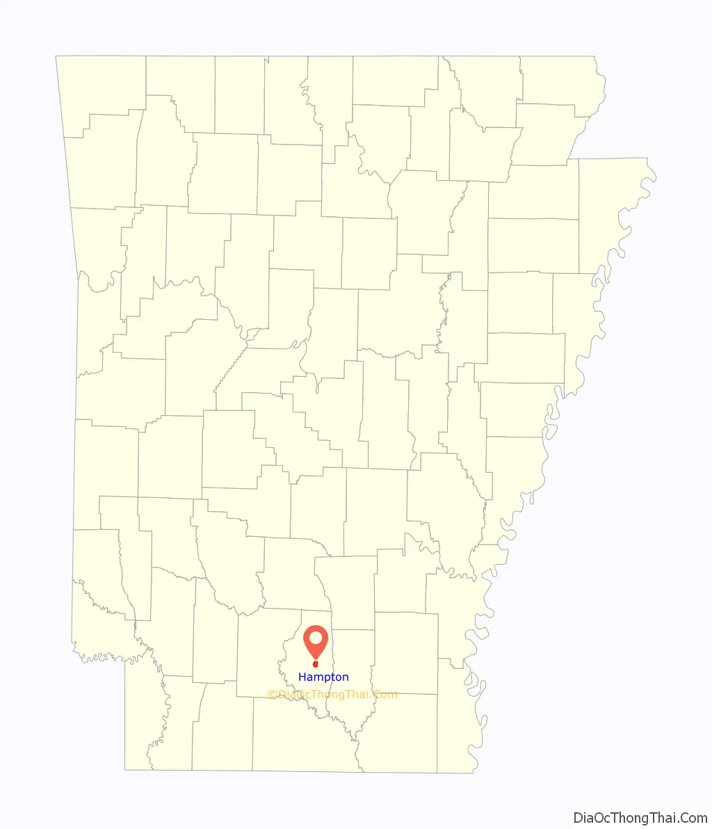
Hampton is a town in Calhoun County, Arkansas, United States. The population was 1,324 at the 2010 census. The town is the county seat of Calhoun County.
Hampton is part of the Camden Micropolitan Statistical Area.
| Name: | Hampton city |
|---|---|
| LSAD Code: | 25 |
| LSAD Description: | city (suffix) |
| State: | Arkansas |
| County: | Calhoun County |
| Elevation: | 200 ft (61 m) |
| Total Area: | 3.28 sq mi (8.49 km²) |
| Land Area: | 3.28 sq mi (8.49 km²) |
| Water Area: | 0.00 sq mi (0.00 km²) |
| Total Population: | 1,181 |
| Population Density: | 360.28/sq mi (139.12/km²) |
| ZIP code: | 71744 |
| Area code: | 870 |
| FIPS code: | 0529650 |
| GNISfeature ID: | 0049808 |
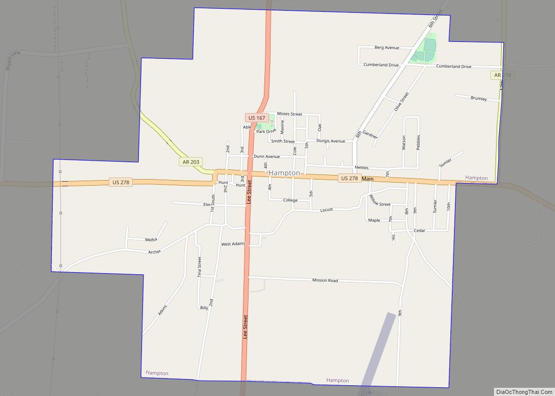
Online Interactive Map
Click on ![]() to view map in "full screen" mode.
to view map in "full screen" mode.
Hampton location map. Where is Hampton city?
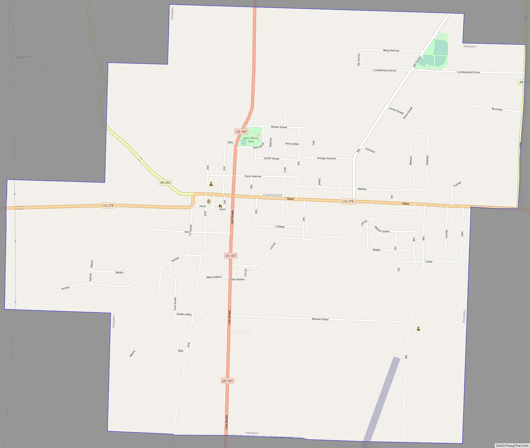
Hampton Road Map
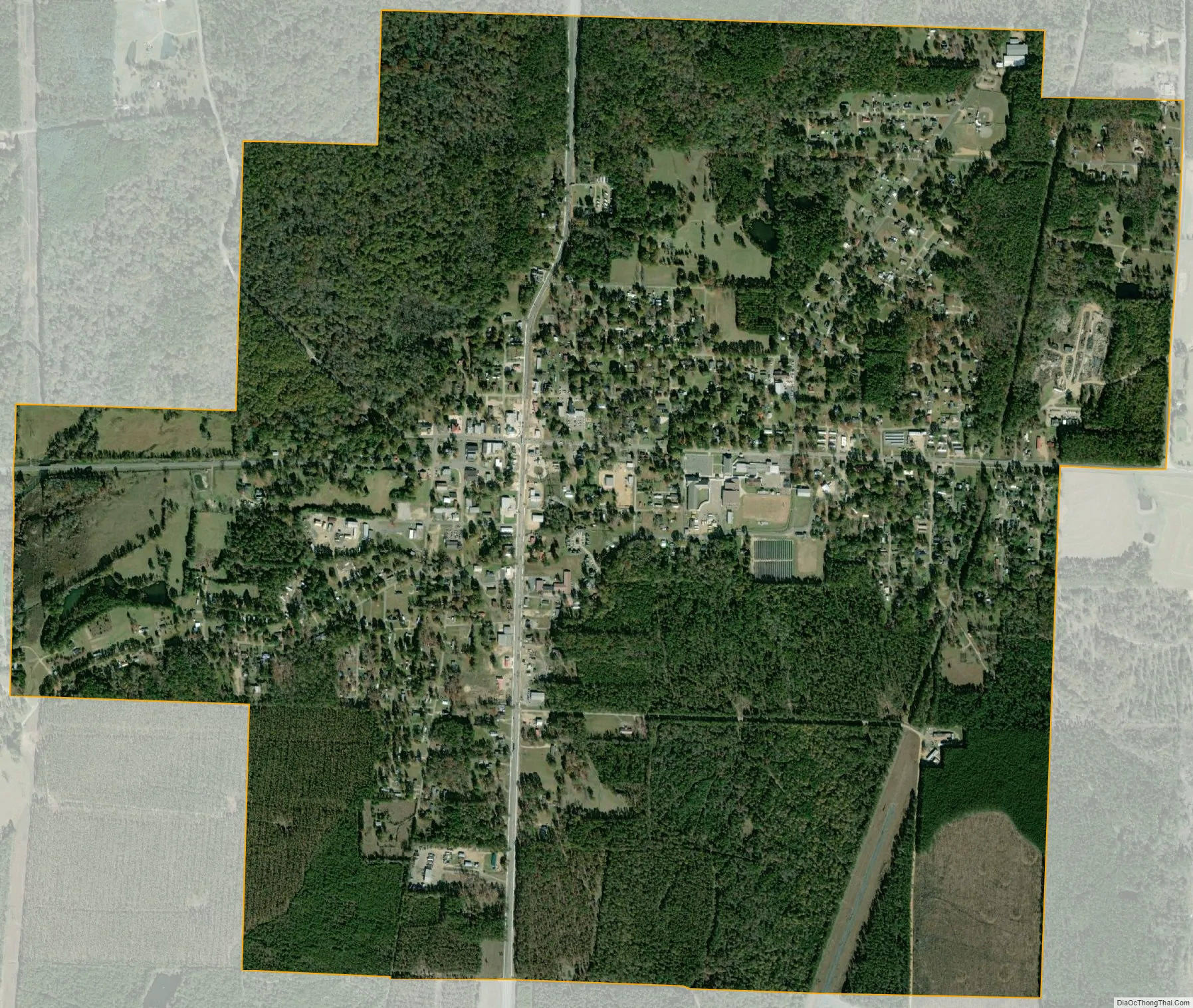
Hampton city Satellite Map
Geography
Hampton is located east of the center of Calhoun County at 33°32′13″N 92°27′56″W / 33.53694°N 92.46556°W / 33.53694; -92.46556 (33.536831, -92.465521). U.S. Routes 278 and 167 intersect in the town. US 278 leads west 23 miles (37 km) to Camden and east 26 miles (42 km) to Warren, while US 167 leads north 21 miles (34 km) to Fordyce and south 27 miles (43 km) to El Dorado.
According to the United States Census Bureau, the town has a total area of 3.0 square miles (7.8 km), all land.
See also
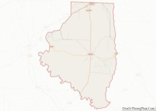
Map of Arkansas State and its subdivision:- Arkansas
- Ashley
- Baxter
- Benton
- Boone
- Bradley
- Calhoun
- Carroll
- Chicot
- Clark
- Clay
- Cleburne
- Cleveland
- Columbia
- Conway
- Craighead
- Crawford
- Crittenden
- Cross
- Dallas
- Desha
- Drew
- Faulkner
- Franklin
- Fulton
- Garland
- Grant
- Greene
- Hempstead
- Hot Spring
- Howard
- Independence
- Izard
- Jackson
- Jefferson
- Johnson
- Lafayette
- Lawrence
- Lee
- Lincoln
- Little River
- Logan
- Lonoke
- Madison
- Marion
- Miller
- Mississippi
- Monroe
- Montgomery
- Nevada
- Newton
- Ouachita
- Perry
- Phillips
- Pike
- Poinsett
- Polk
- Pope
- Prairie
- Pulaski
- Randolph
- Saint Francis
- Saline
- Scott
- Searcy
- Sebastian
- Sevier
- Sharp
- Stone
- Union
- Van Buren
- Washington
- White
- Woodruff
- Yell
- Alabama
- Alaska
- Arizona
- Arkansas
- California
- Colorado
- Connecticut
- Delaware
- District of Columbia
- Florida
- Georgia
- Hawaii
- Idaho
- Illinois
- Indiana
- Iowa
- Kansas
- Kentucky
- Louisiana
- Maine
- Maryland
- Massachusetts
- Michigan
- Minnesota
- Mississippi
- Missouri
- Montana
- Nebraska
- Nevada
- New Hampshire
- New Jersey
- New Mexico
- New York
- North Carolina
- North Dakota
- Ohio
- Oklahoma
- Oregon
- Pennsylvania
- Rhode Island
- South Carolina
- South Dakota
- Tennessee
- Texas
- Utah
- Vermont
- Virginia
- Washington
- West Virginia
- Wisconsin
- Wyoming