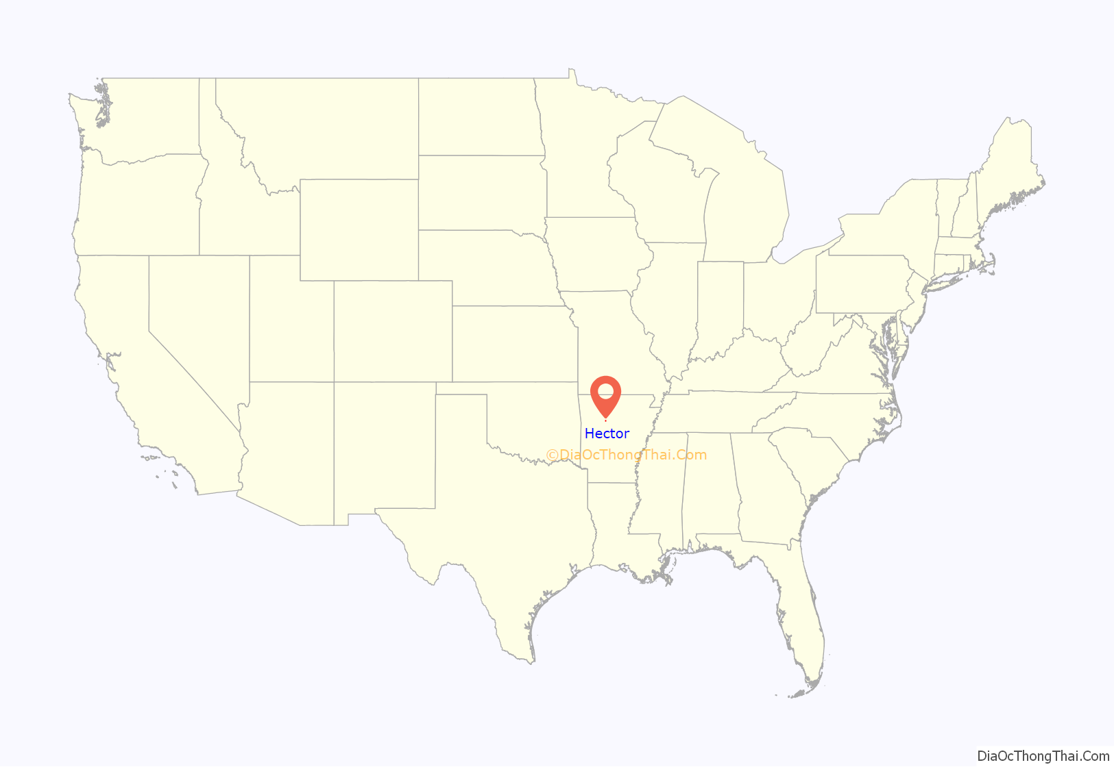
Hector is a town in Pope County, Arkansas, United States. The population was 450 at the 2010 census. It is part of the Russellville Micropolitan Statistical Area.
| Name: | Hector town |
|---|---|
| LSAD Code: | 43 |
| LSAD Description: | town (suffix) |
| State: | Arkansas |
| County: | Pope County |
| Elevation: | 722 ft (220 m) |
| Total Area: | 2.29 sq mi (5.93 km²) |
| Land Area: | 2.29 sq mi (5.92 km²) |
| Water Area: | 0.00 sq mi (0.01 km²) |
| Total Population: | 411 |
| Population Density: | 179.79/sq mi (69.43/km²) |
| ZIP code: | 72843 |
| Area code: | 479 |
| FIPS code: | 0531150 |
| GNISfeature ID: | 2405813 |
| Website: | www.hectorar.com |
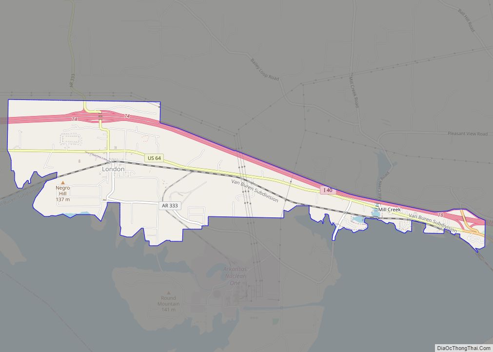
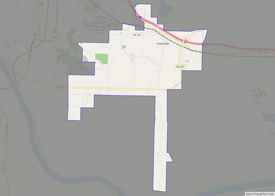
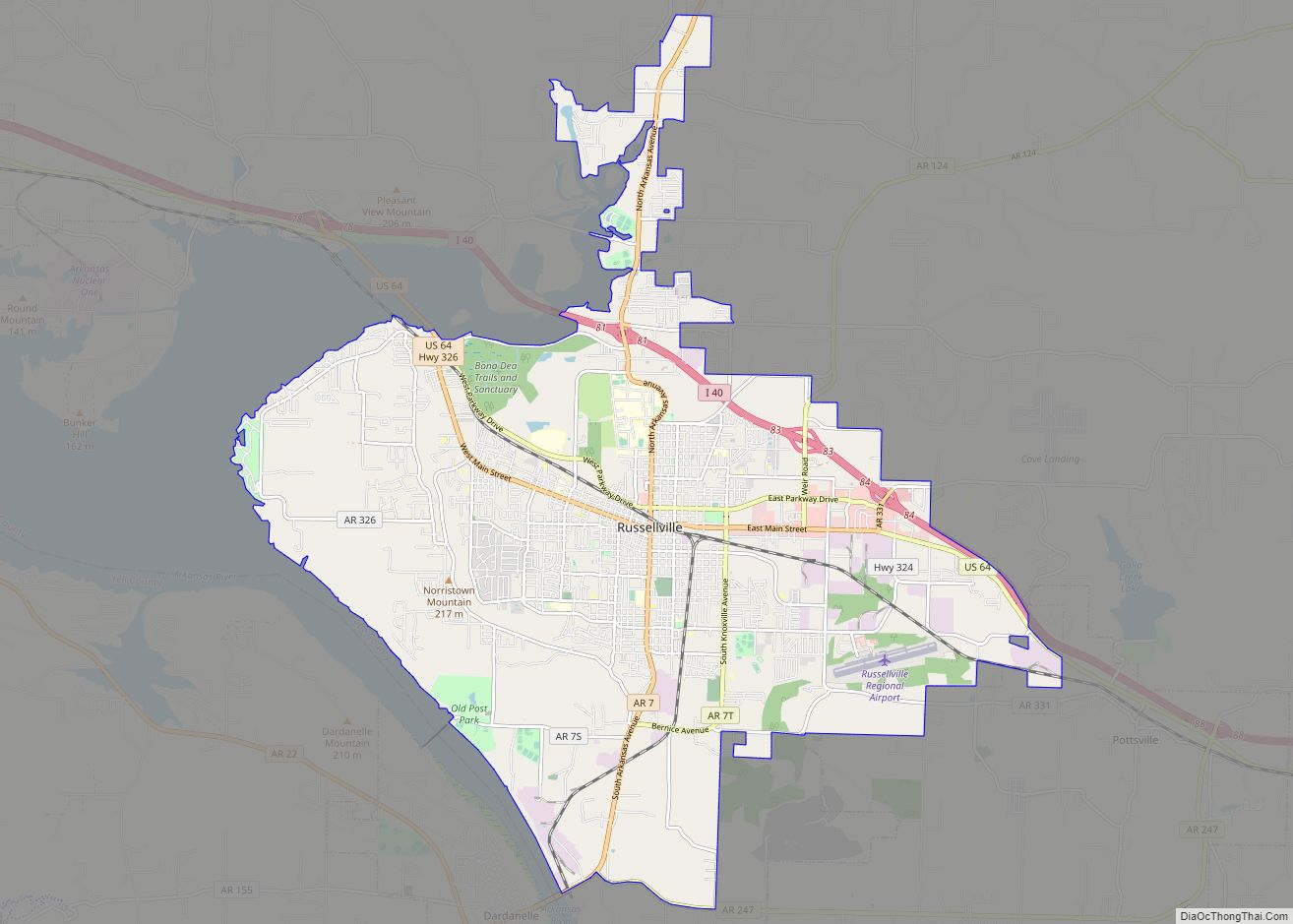
Online Interactive Map
Click on ![]() to view map in "full screen" mode.
to view map in "full screen" mode.
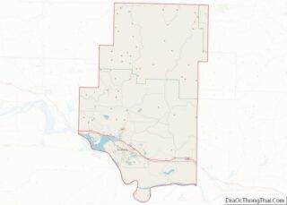
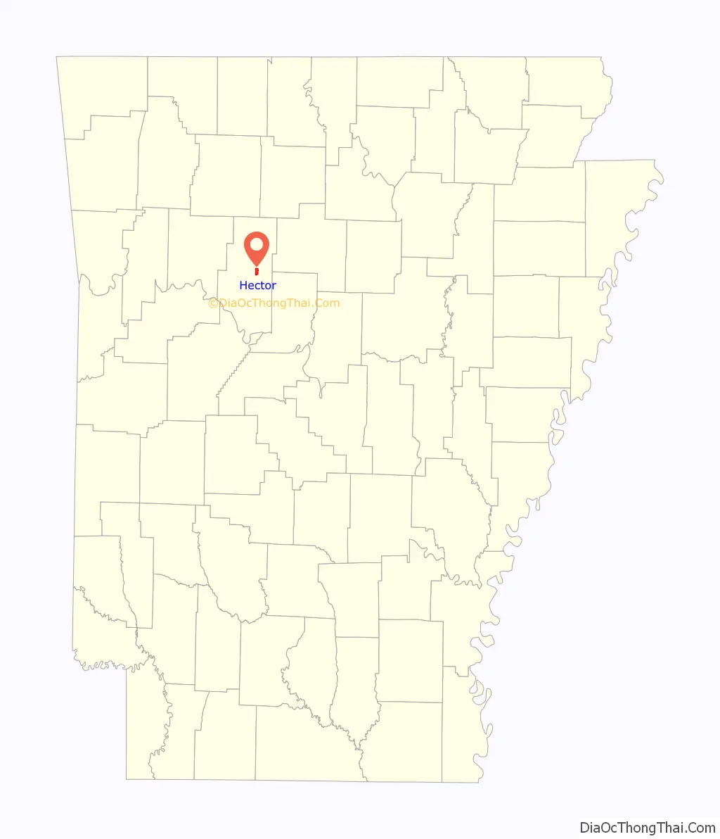
Hector location map. Where is Hector town?
History
The community was named for President Grover Cleveland’s dog by the President himself when postal officials grew frustrated with the residents’ indecision on whether to name the community Avondale or The Plain.
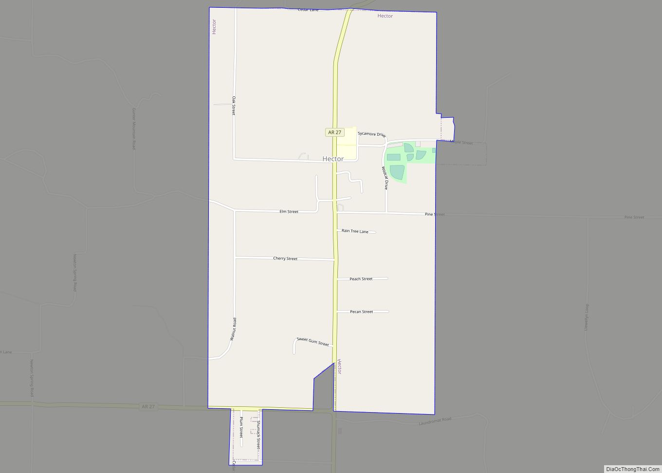
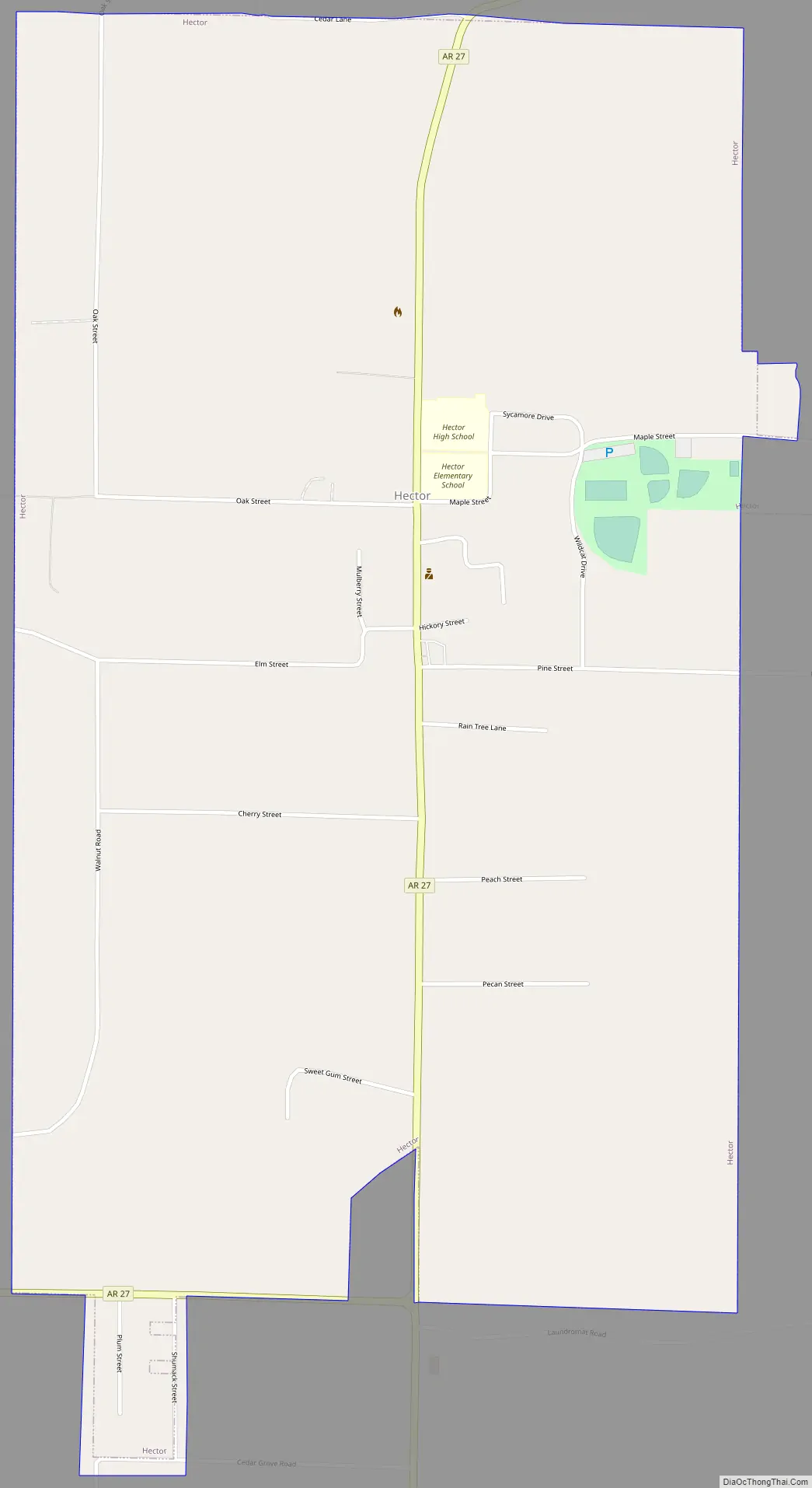
Hector Road Map
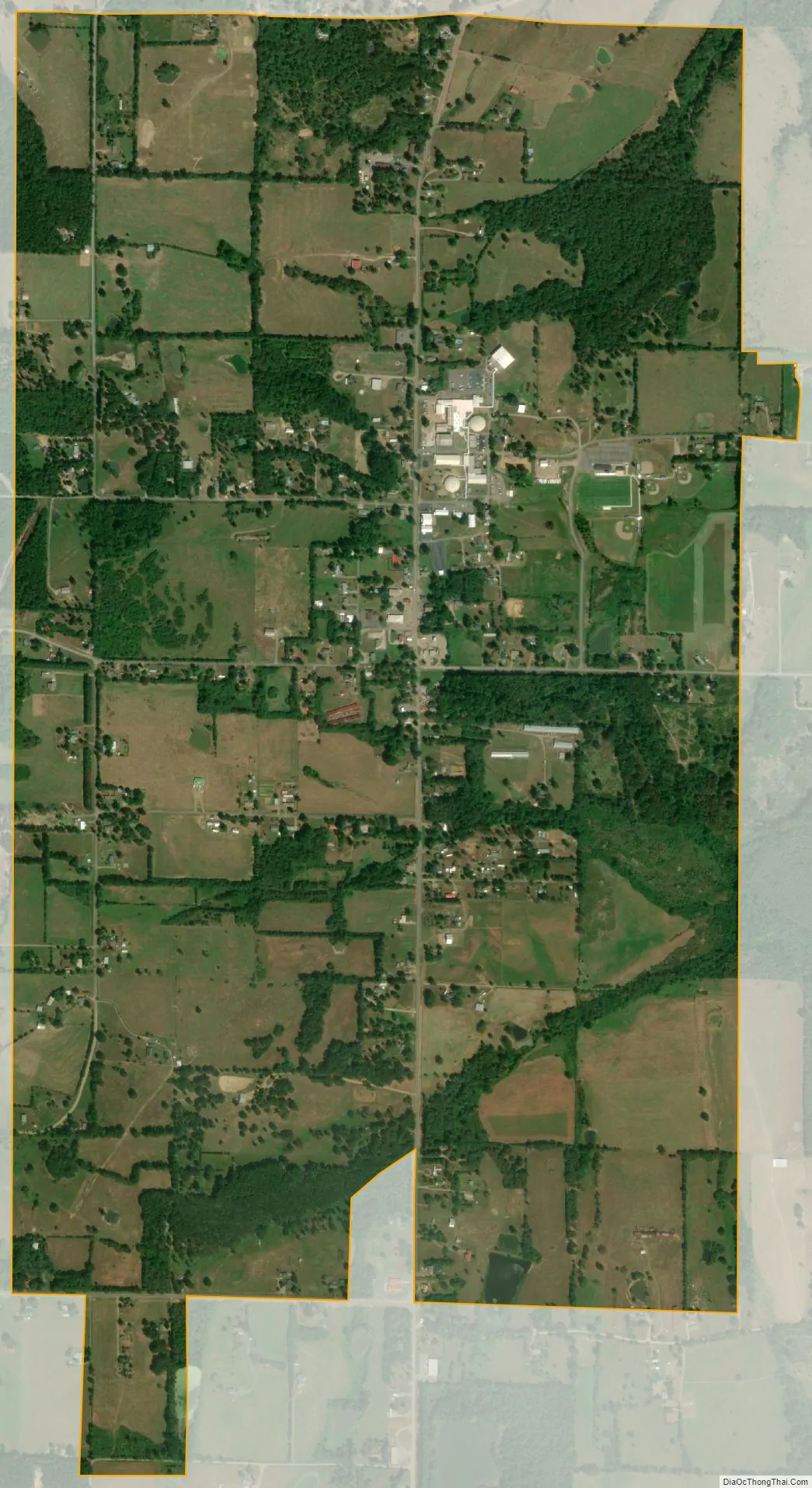
Hector city Satellite Map
Geography
According to the United States Census Bureau, the town has a total area of 6.0 km (2.3 sq mi), of which 6.0 km (2.3 sq mi) is land and 0.43% is water.
See also
Map of Arkansas State and its subdivision:- Arkansas
- Ashley
- Baxter
- Benton
- Boone
- Bradley
- Calhoun
- Carroll
- Chicot
- Clark
- Clay
- Cleburne
- Cleveland
- Columbia
- Conway
- Craighead
- Crawford
- Crittenden
- Cross
- Dallas
- Desha
- Drew
- Faulkner
- Franklin
- Fulton
- Garland
- Grant
- Greene
- Hempstead
- Hot Spring
- Howard
- Independence
- Izard
- Jackson
- Jefferson
- Johnson
- Lafayette
- Lawrence
- Lee
- Lincoln
- Little River
- Logan
- Lonoke
- Madison
- Marion
- Miller
- Mississippi
- Monroe
- Montgomery
- Nevada
- Newton
- Ouachita
- Perry
- Phillips
- Pike
- Poinsett
- Polk
- Pope
- Prairie
- Pulaski
- Randolph
- Saint Francis
- Saline
- Scott
- Searcy
- Sebastian
- Sevier
- Sharp
- Stone
- Union
- Van Buren
- Washington
- White
- Woodruff
- Yell
- Alabama
- Alaska
- Arizona
- Arkansas
- California
- Colorado
- Connecticut
- Delaware
- District of Columbia
- Florida
- Georgia
- Hawaii
- Idaho
- Illinois
- Indiana
- Iowa
- Kansas
- Kentucky
- Louisiana
- Maine
- Maryland
- Massachusetts
- Michigan
- Minnesota
- Mississippi
- Missouri
- Montana
- Nebraska
- Nevada
- New Hampshire
- New Jersey
- New Mexico
- New York
- North Carolina
- North Dakota
- Ohio
- Oklahoma
- Oregon
- Pennsylvania
- Rhode Island
- South Carolina
- South Dakota
- Tennessee
- Texas
- Utah
- Vermont
- Virginia
- Washington
- West Virginia
- Wisconsin
- Wyoming