Hot Springs Village is a census-designated place (CDP) in Garland and Saline counties in the U.S. state of Arkansas. As it is situated in two counties, it is also part of two metropolitan statistical areas. The portion in Garland County is within the Hot Springs Metropolitan Statistical Area, while the portion extending into Saline County is part of the Little Rock–North Little Rock–Conway Metropolitan Statistical Area. The population was 12,807 at the 2010 census. In land area, it is the largest gated community in the United States.
| Name: | Hot Springs Village CDP |
|---|---|
| LSAD Code: | 57 |
| LSAD Description: | CDP (suffix) |
| State: | Arkansas |
| County: | Garland County, Saline County |
| Elevation: | 784 ft (239 m) |
| Total Area: | 60.56 sq mi (156.84 km²) |
| Land Area: | 57.64 sq mi (149.28 km²) |
| Water Area: | 2.92 sq mi (7.56 km²) |
| Total Population: | 15,861 |
| Population Density: | 275.19/sq mi (106.25/km²) |
| ZIP code: | 71909, 71910 |
| Area code: | 501 |
| FIPS code: | 0533482 |
| GNISfeature ID: | 0072091 |
| Website: | www.hsvpoa.org |
Online Interactive Map
Click on ![]() to view map in "full screen" mode.
to view map in "full screen" mode.
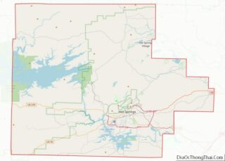
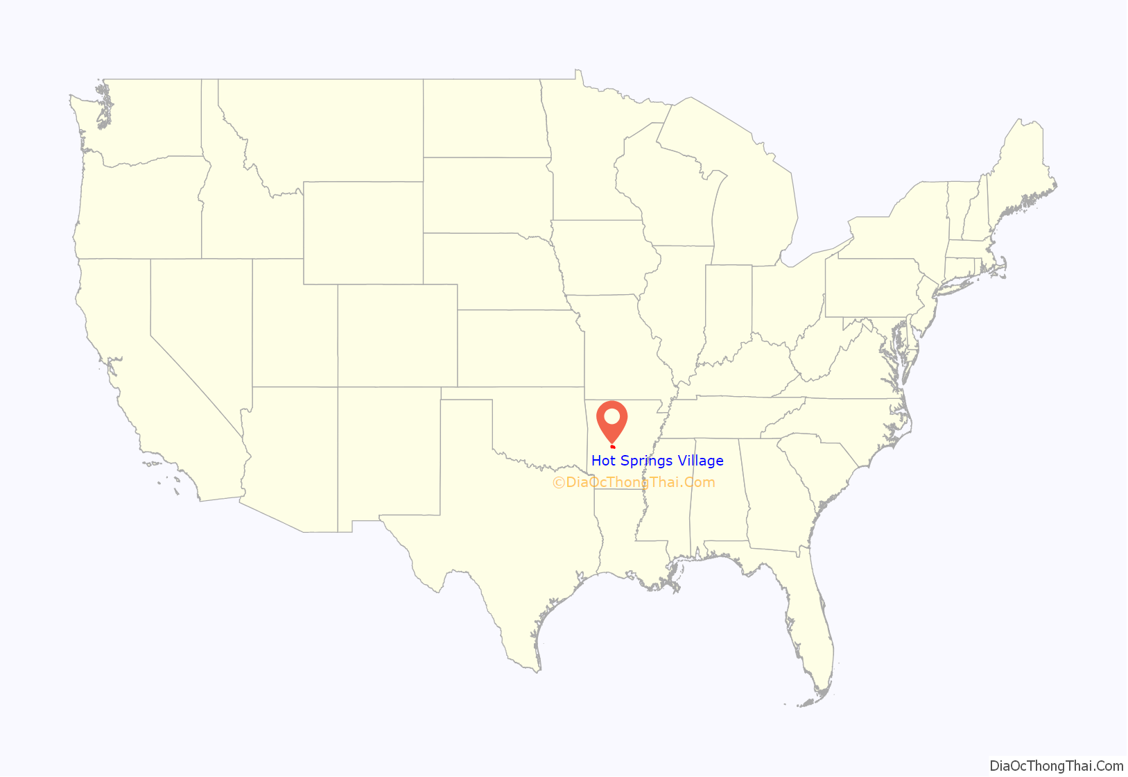
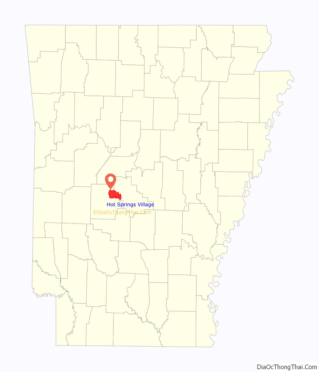
Hot Springs Village location map. Where is Hot Springs Village CDP?
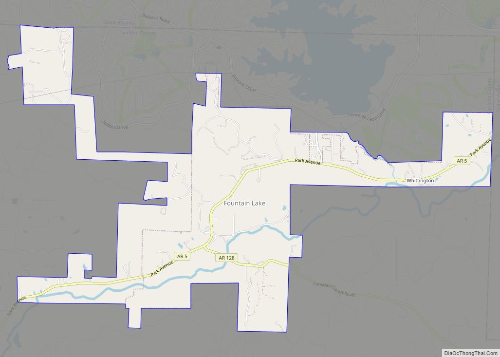
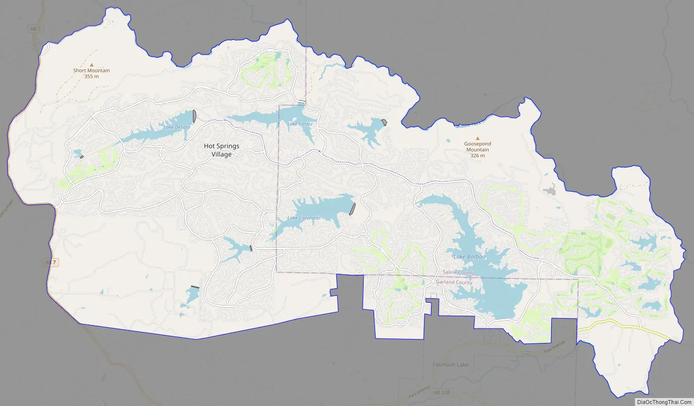
Hot Springs Village Road Map
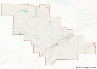
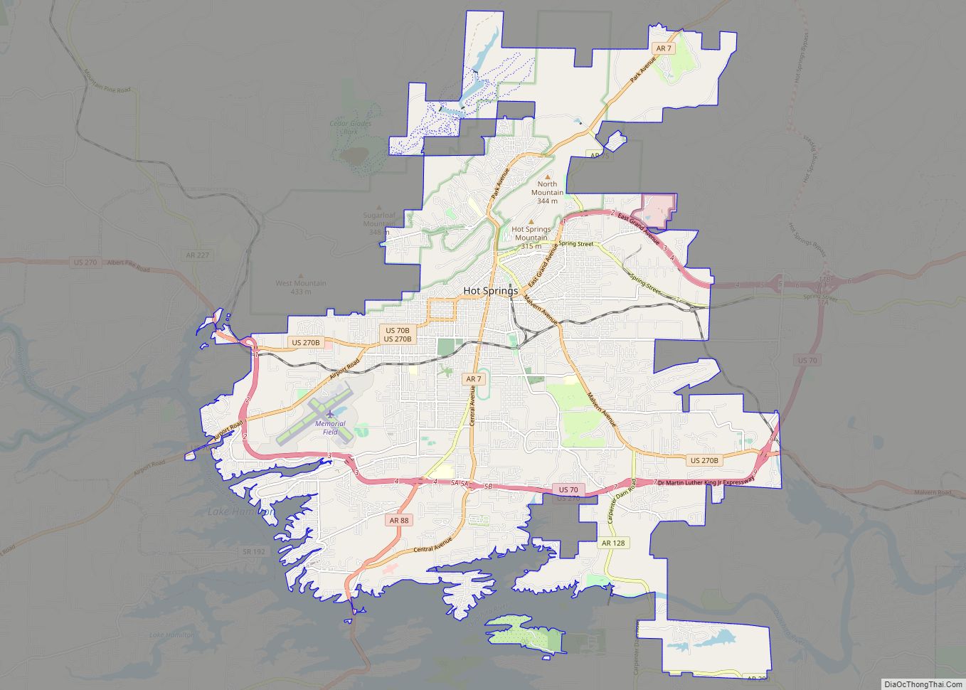
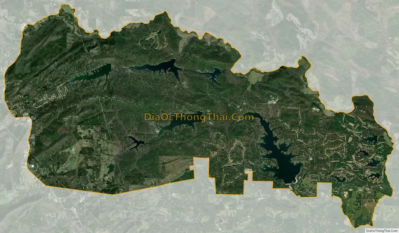
Hot Springs Village city Satellite Map
Geography
Hot Springs Village is located at 34°39′52″N 92°59′46″W / 34.66444°N 92.99611°W / 34.66444; -92.99611 (34.664504, -92.996192). According to the United States Census Bureau, the CDP has a total area of 55.7 square miles (144 km), of which 53.5 square miles (139 km) is land and 2.2 square miles (5.7 km) (3.92%) is water.
See also
Map of Arkansas State and its subdivision:- Arkansas
- Ashley
- Baxter
- Benton
- Boone
- Bradley
- Calhoun
- Carroll
- Chicot
- Clark
- Clay
- Cleburne
- Cleveland
- Columbia
- Conway
- Craighead
- Crawford
- Crittenden
- Cross
- Dallas
- Desha
- Drew
- Faulkner
- Franklin
- Fulton
- Garland
- Grant
- Greene
- Hempstead
- Hot Spring
- Howard
- Independence
- Izard
- Jackson
- Jefferson
- Johnson
- Lafayette
- Lawrence
- Lee
- Lincoln
- Little River
- Logan
- Lonoke
- Madison
- Marion
- Miller
- Mississippi
- Monroe
- Montgomery
- Nevada
- Newton
- Ouachita
- Perry
- Phillips
- Pike
- Poinsett
- Polk
- Pope
- Prairie
- Pulaski
- Randolph
- Saint Francis
- Saline
- Scott
- Searcy
- Sebastian
- Sevier
- Sharp
- Stone
- Union
- Van Buren
- Washington
- White
- Woodruff
- Yell
- Alabama
- Alaska
- Arizona
- Arkansas
- California
- Colorado
- Connecticut
- Delaware
- District of Columbia
- Florida
- Georgia
- Hawaii
- Idaho
- Illinois
- Indiana
- Iowa
- Kansas
- Kentucky
- Louisiana
- Maine
- Maryland
- Massachusetts
- Michigan
- Minnesota
- Mississippi
- Missouri
- Montana
- Nebraska
- Nevada
- New Hampshire
- New Jersey
- New Mexico
- New York
- North Carolina
- North Dakota
- Ohio
- Oklahoma
- Oregon
- Pennsylvania
- Rhode Island
- South Carolina
- South Dakota
- Tennessee
- Texas
- Utah
- Vermont
- Virginia
- Washington
- West Virginia
- Wisconsin
- Wyoming