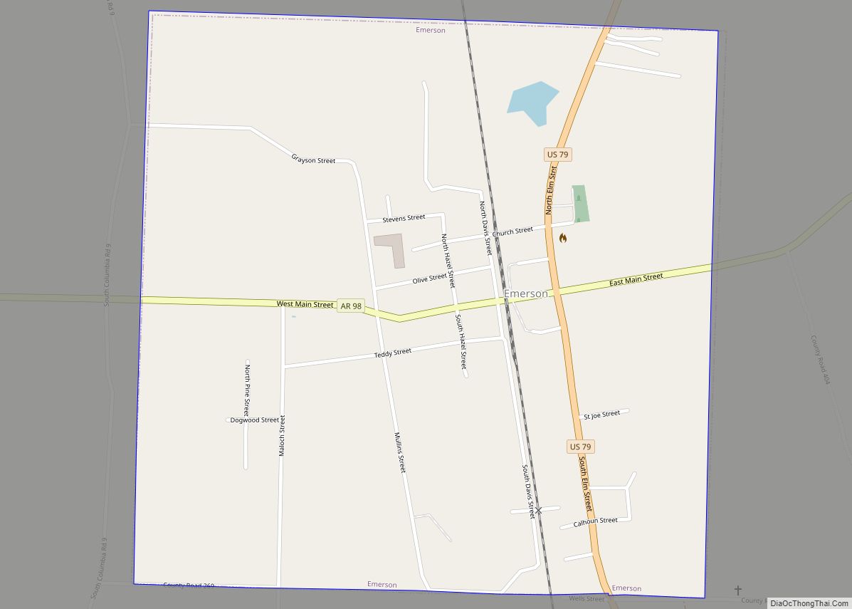
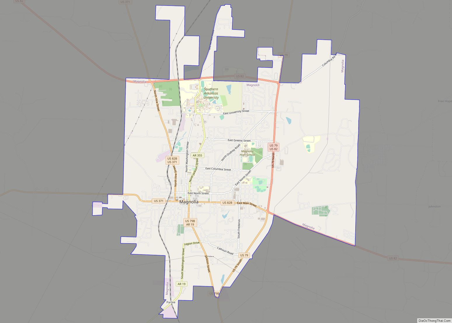
Magnolia is a city in Columbia County, Arkansas, United States. As of the 2010 census the population was 11,577. The city is the county seat of Columbia County.
Magnolia is home to the World’s Largest Charcoal Grill and the World Championship Steak Cookoff, part of the Magnolia Blossom Festival.
| Name: | Magnolia city |
|---|---|
| LSAD Code: | 25 |
| LSAD Description: | city (suffix) |
| State: | Arkansas |
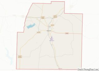
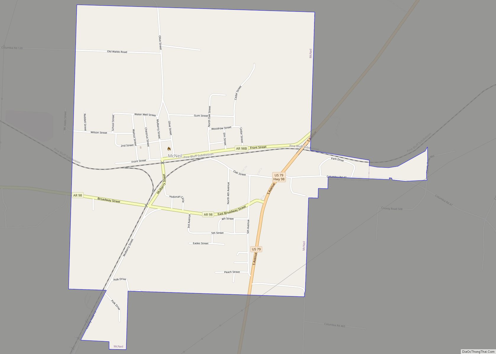
| County: | Columbia County |
| Elevation: | 338 ft (103 m) |
| Total Area: | 13.27 sq mi (34.37 km²) |
| Land Area: | 13.23 sq mi (34.27 km²) |
| Water Area: | 0.04 sq mi (0.10 km²) |
| Total Population: | 11,162 |
| Population Density: | 843.62/sq mi (325.73/km²) |
| ZIP code: | 71753-71754 |
| Area code: | 870 |
| FIPS code: | 0543460 |
| GNISfeature ID: | 0077578 |
| Website: | www.magnolia-ar.com |
Online Interactive Map
Click on ![]() to view map in "full screen" mode.
to view map in "full screen" mode.
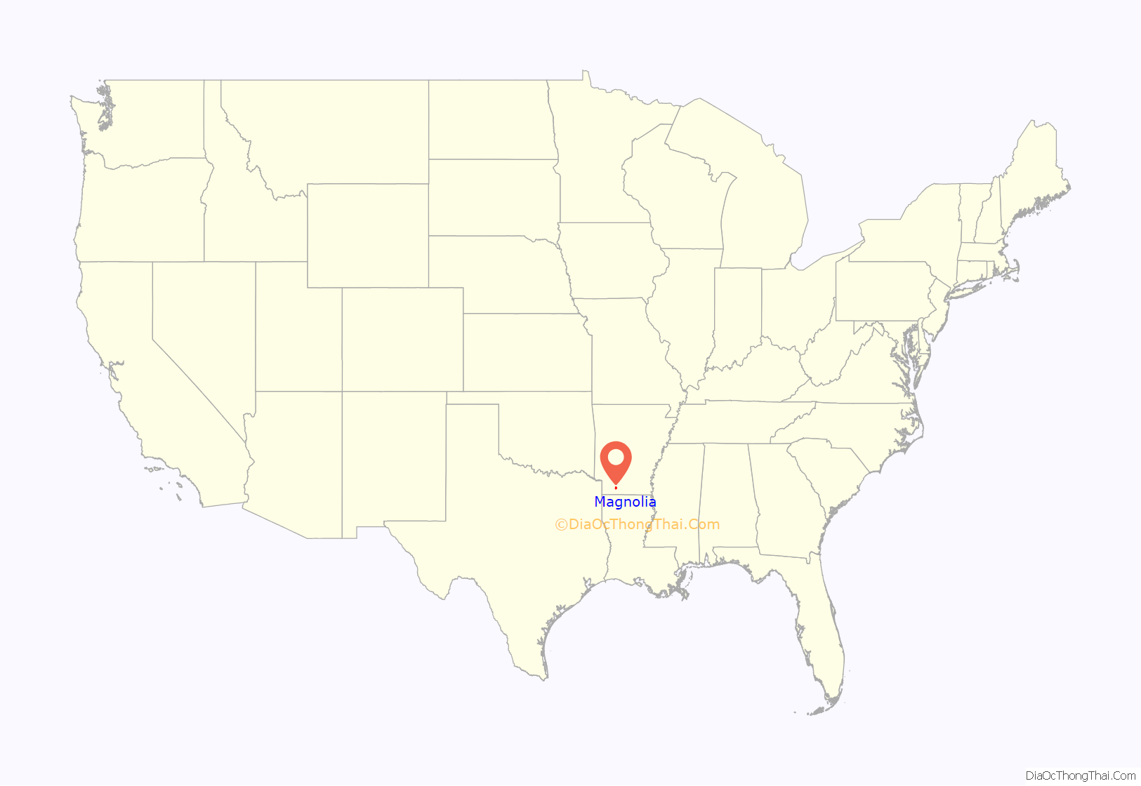
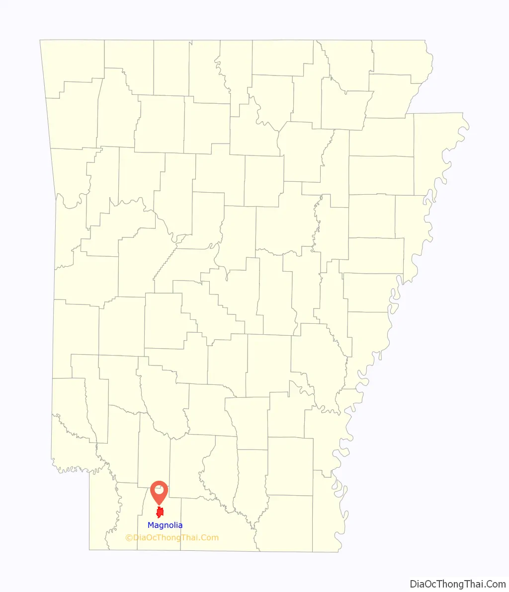
Magnolia location map. Where is Magnolia city?
History
The city was founded in 1853. At the time of its incorporation in 1858, the city had a population of about 1,950. African-American man, Jordan Jameson was lynched on November 11, 1919, in the town square of Magnolia. A large white mob seized Jameson after he allegedly shot the local sheriff. They tied him to a stake and burned him alive. The city grew slowly as an agricultural and regional cotton market until the discovery of oil just east of the city in March 1938, with the Barnett #1 drilled by the Kerr-Lynn Company. The Magnolia Oil Field was an important discovery for the city as well as for the nation, as it was the largest producing field (in volume) during the early years of World War II, helping to sustain the American war effort.
In March 2013, more than 5,000 barrels of oil leaked from a Lion Oil Trading & Transportation storage tank in Magnolia, with some flowing into a bayou.
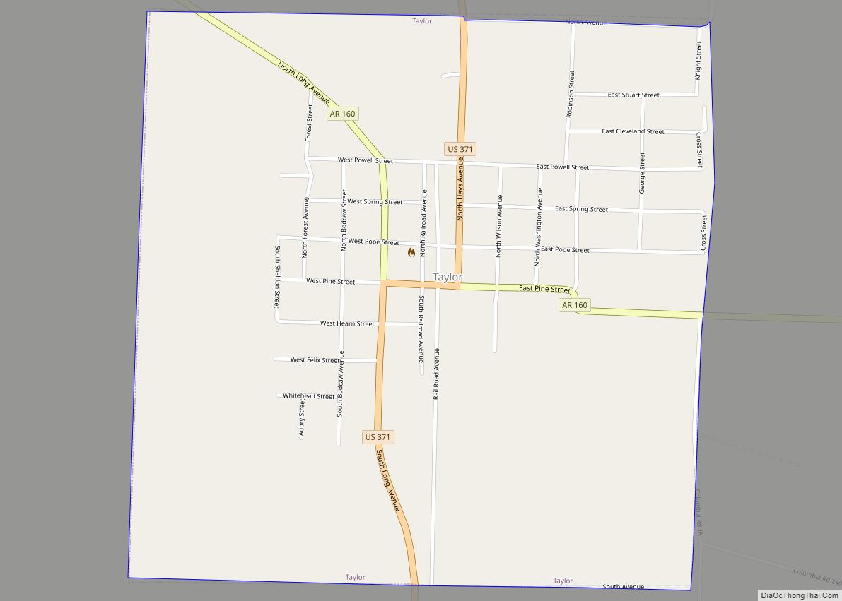
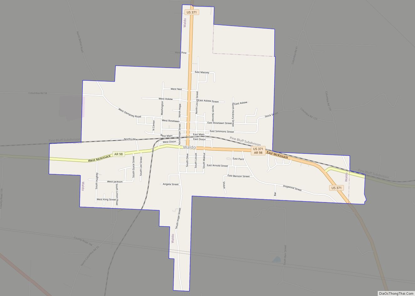
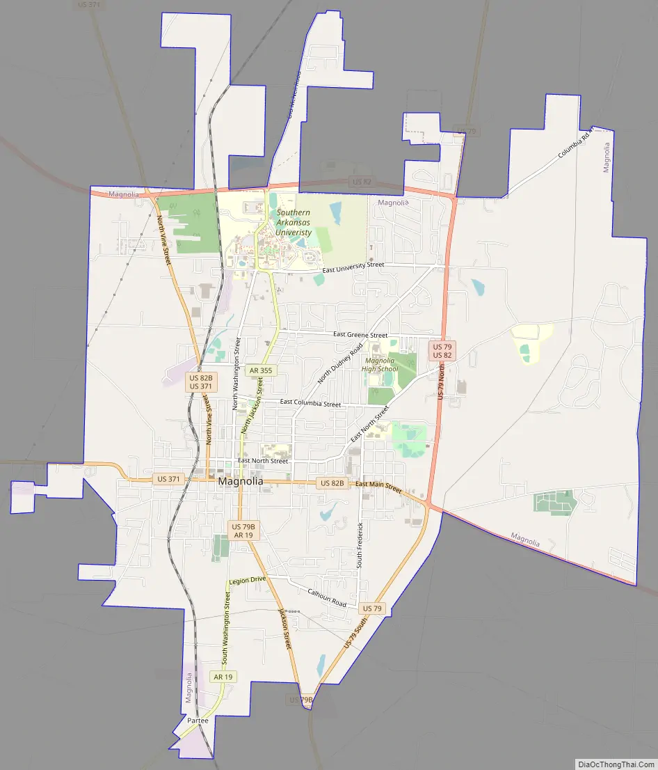
Magnolia Road Map
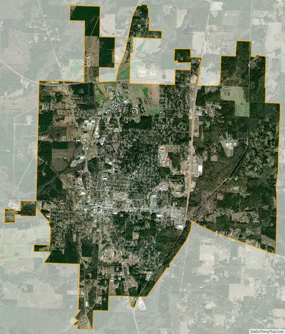
Magnolia city Satellite Map
Geography
Magnolia is located in southwest Arkansas, north of the center of Columbia County at 33°16′27″N 93°14′1″W / 33.27417°N 93.23361°W / 33.27417; -93.23361 (33.274052, -93.233477). The average altitude is 336 ft (102 m) above sea level according to NOAA. The surrounding region is a mix of dense forest, farm prairies, and low rolling hills.
According to the United States Census Bureau, the city has a total area of 13.3 square miles (34.4 km), of which 0.027 square miles (0.07 km), or 0.21%, is water.
Magnolia is located about 50 miles (80 km) east of Texarkana, about 135 miles (217 km) south of Little Rock, and about 75 miles (121 km) northeast of Shreveport, Louisiana.
Climate
The average temperature is 64 °F (18 °C), and the average annual rainfall is 50.3 inches (1,280 mm). The winters are mild but can dip into the teens at night and have highs in the 30s and even some 20s but average out around 50. The springs are warm and can be stormy with strong to severe storms and average highs in the mid 70s. Summers are often hot, humid and dry but with occasional isolated afternoon storms, highs in the mid to upper 90s and even 100s. In the fall the temps cool from the 90s and 100s to 80s and 70s. Early fall temps are usually in the 80s but can reach 90s and at times has reached 100. Late fall temps fall to 70s and 60s. It is not uncommon to see snow and ice during the winter. It has been known to snow a few times as late as April and as early as November in Magnolia.
See also
Map of Arkansas State and its subdivision:- Arkansas
- Ashley
- Baxter
- Benton
- Boone
- Bradley
- Calhoun
- Carroll
- Chicot
- Clark
- Clay
- Cleburne
- Cleveland
- Columbia
- Conway
- Craighead
- Crawford
- Crittenden
- Cross
- Dallas
- Desha
- Drew
- Faulkner
- Franklin
- Fulton
- Garland
- Grant
- Greene
- Hempstead
- Hot Spring
- Howard
- Independence
- Izard
- Jackson
- Jefferson
- Johnson
- Lafayette
- Lawrence
- Lee
- Lincoln
- Little River
- Logan
- Lonoke
- Madison
- Marion
- Miller
- Mississippi
- Monroe
- Montgomery
- Nevada
- Newton
- Ouachita
- Perry
- Phillips
- Pike
- Poinsett
- Polk
- Pope
- Prairie
- Pulaski
- Randolph
- Saint Francis
- Saline
- Scott
- Searcy
- Sebastian
- Sevier
- Sharp
- Stone
- Union
- Van Buren
- Washington
- White
- Woodruff
- Yell
- Alabama
- Alaska
- Arizona
- Arkansas
- California
- Colorado
- Connecticut
- Delaware
- District of Columbia
- Florida
- Georgia
- Hawaii
- Idaho
- Illinois
- Indiana
- Iowa
- Kansas
- Kentucky
- Louisiana
- Maine
- Maryland
- Massachusetts
- Michigan
- Minnesota
- Mississippi
- Missouri
- Montana
- Nebraska
- Nevada
- New Hampshire
- New Jersey
- New Mexico
- New York
- North Carolina
- North Dakota
- Ohio
- Oklahoma
- Oregon
- Pennsylvania
- Rhode Island
- South Carolina
- South Dakota
- Tennessee
- Texas
- Utah
- Vermont
- Virginia
- Washington
- West Virginia
- Wisconsin
- Wyoming