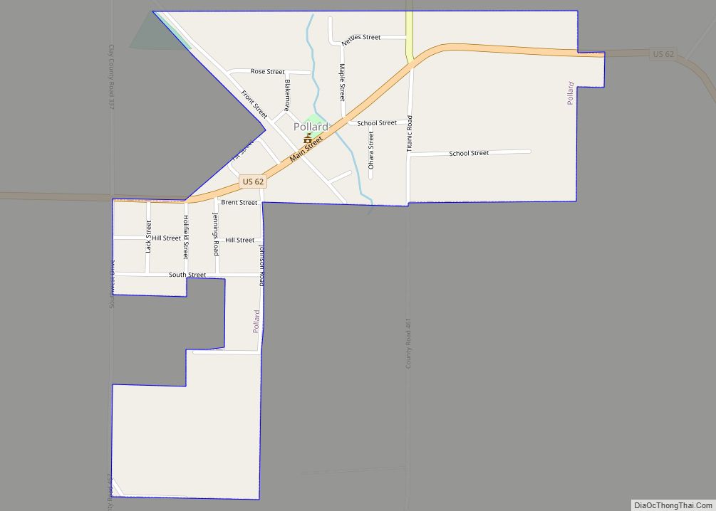
McDougal is a city in Clay County, Arkansas, United States. The population was 186 at the 2010 census.
| Name: | McDougal town |
|---|---|
| LSAD Code: | 43 |
| LSAD Description: | town (suffix) |
| State: | Arkansas |
| County: | Clay County |
| Elevation: | 302 ft (92 m) |
| Total Area: | 0.37 sq mi (0.96 km²) |
| Land Area: | 0.37 sq mi (0.96 km²) |
| Water Area: | 0.00 sq mi (0.00 km²) |
| Total Population: | 134 |
| Population Density: | 361.19/sq mi (139.32/km²) |
| ZIP code: | 72441 |
| Area code: | 870 |
| FIPS code: | 0542560 |
| GNISfeature ID: | 2406129 |
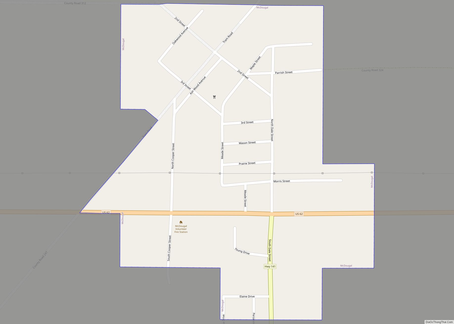
Online Interactive Map
Click on ![]() to view map in "full screen" mode.
to view map in "full screen" mode.
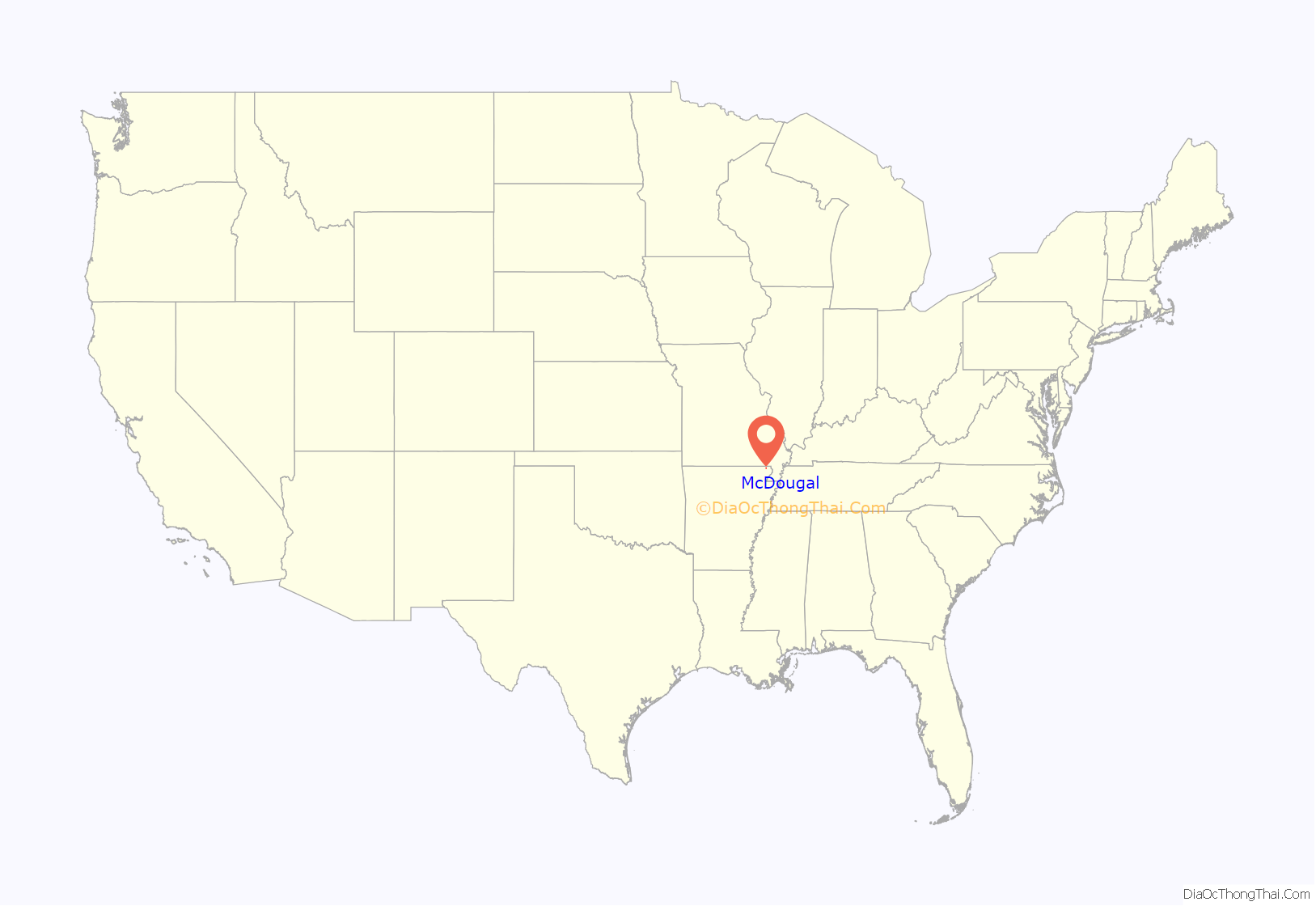
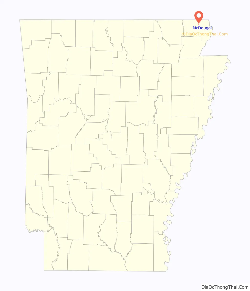
McDougal location map. Where is McDougal town?
History
McDougal was established in 1914 as a stop along a branch line of the Butler County Railroad connecting nearby Piggott with Poplar Bluff, Missouri, and serving the flourishing timber industry in the area. The city was probably named for a railroad worker. A depot and general store were constructed in 1914, and a post office opened in 1916. McDougal incorporated in 1954.
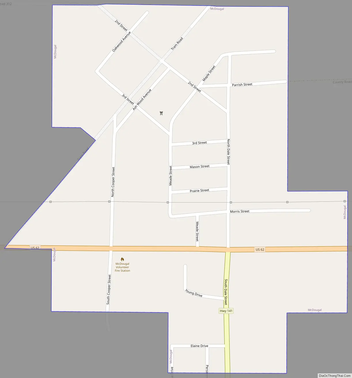
McDougal Road Map
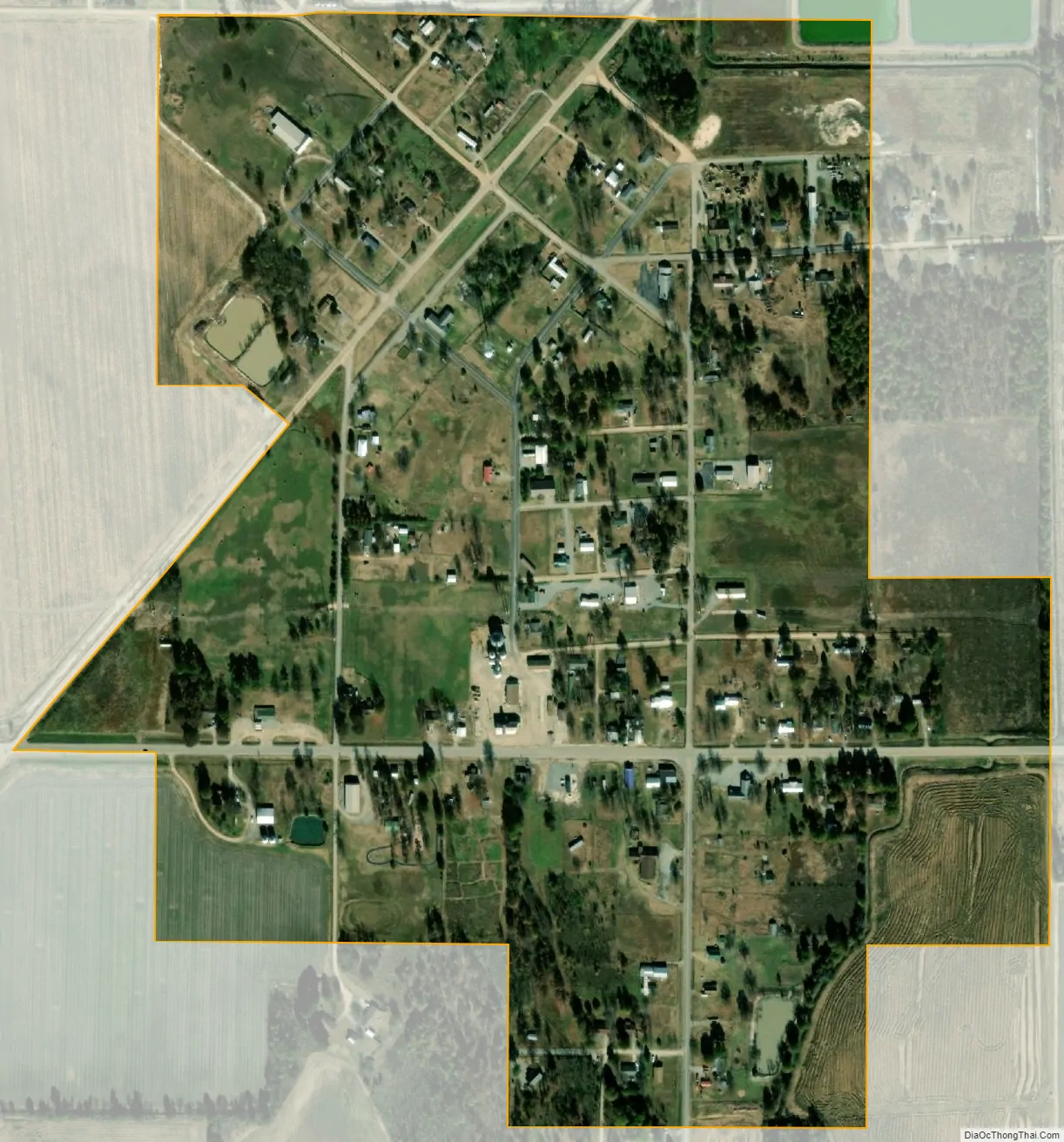
McDougal city Satellite Map
Geography
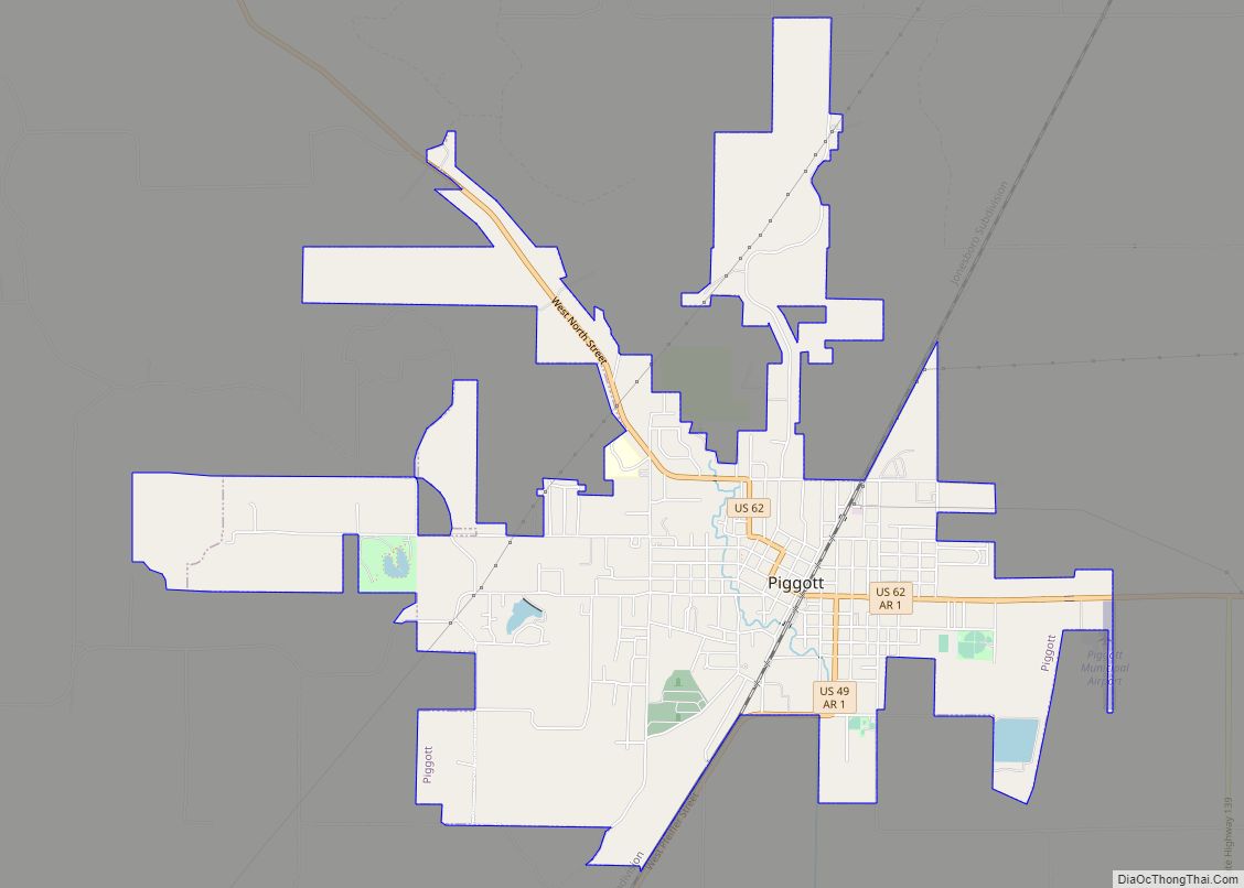
McDougal lies along U.S. Route 62 west of Piggott and east of Corning, and a few miles south of the Arkansas-Missouri state line.
According to the United States Census Bureau, the town has a total area of 1.0 km (0.4 mi), all land.
See also
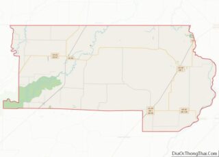
Map of Arkansas State and its subdivision:- Arkansas
- Ashley
- Baxter
- Benton
- Boone
- Bradley
- Calhoun
- Carroll
- Chicot
- Clark
- Clay
- Cleburne
- Cleveland
- Columbia
- Conway
- Craighead
- Crawford
- Crittenden
- Cross
- Dallas
- Desha
- Drew
- Faulkner
- Franklin
- Fulton
- Garland
- Grant
- Greene
- Hempstead
- Hot Spring
- Howard
- Independence
- Izard
- Jackson
- Jefferson
- Johnson
- Lafayette
- Lawrence
- Lee
- Lincoln
- Little River
- Logan
- Lonoke
- Madison
- Marion
- Miller
- Mississippi
- Monroe
- Montgomery
- Nevada
- Newton
- Ouachita
- Perry
- Phillips
- Pike
- Poinsett
- Polk
- Pope
- Prairie
- Pulaski
- Randolph
- Saint Francis
- Saline
- Scott
- Searcy
- Sebastian
- Sevier
- Sharp
- Stone
- Union
- Van Buren
- Washington
- White
- Woodruff
- Yell
- Alabama
- Alaska
- Arizona
- Arkansas
- California
- Colorado
- Connecticut
- Delaware
- District of Columbia
- Florida
- Georgia
- Hawaii
- Idaho
- Illinois
- Indiana
- Iowa
- Kansas
- Kentucky
- Louisiana
- Maine
- Maryland
- Massachusetts
- Michigan
- Minnesota
- Mississippi
- Missouri
- Montana
- Nebraska
- Nevada
- New Hampshire
- New Jersey
- New Mexico
- New York
- North Carolina
- North Dakota
- Ohio
- Oklahoma
- Oregon
- Pennsylvania
- Rhode Island
- South Carolina
- South Dakota
- Tennessee
- Texas
- Utah
- Vermont
- Virginia
- Washington
- West Virginia
- Wisconsin
- Wyoming