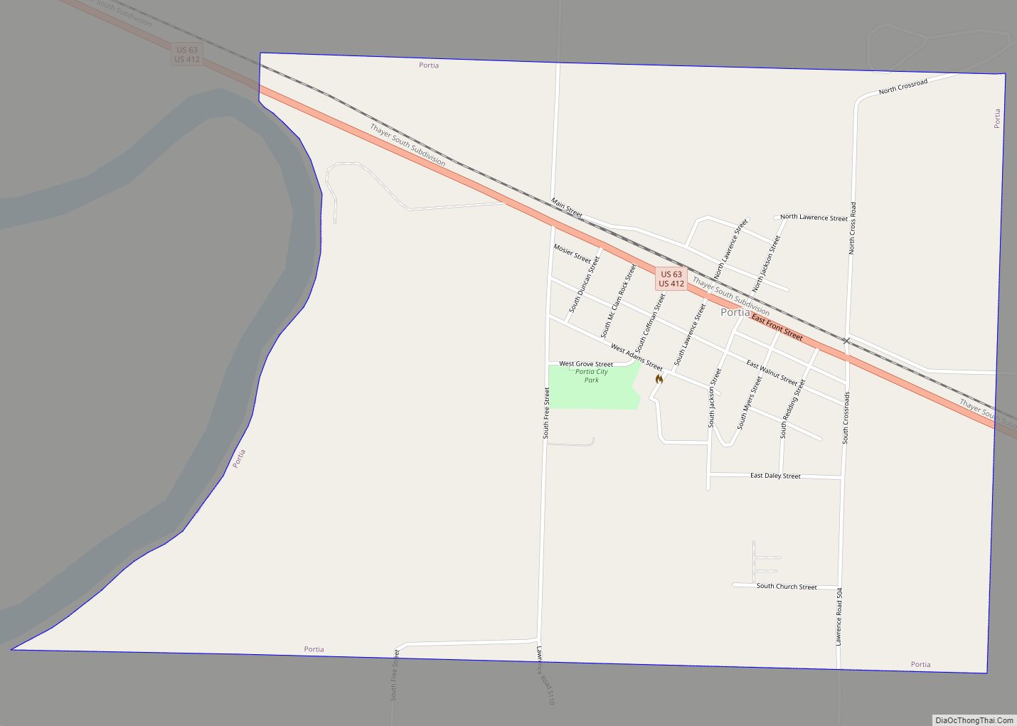
Portia is a town in Lawrence County, Arkansas, United States. The population was 437 at the 2010 census.
| Name: | Portia town |
|---|---|
| LSAD Code: | 43 |
| LSAD Description: | town (suffix) |
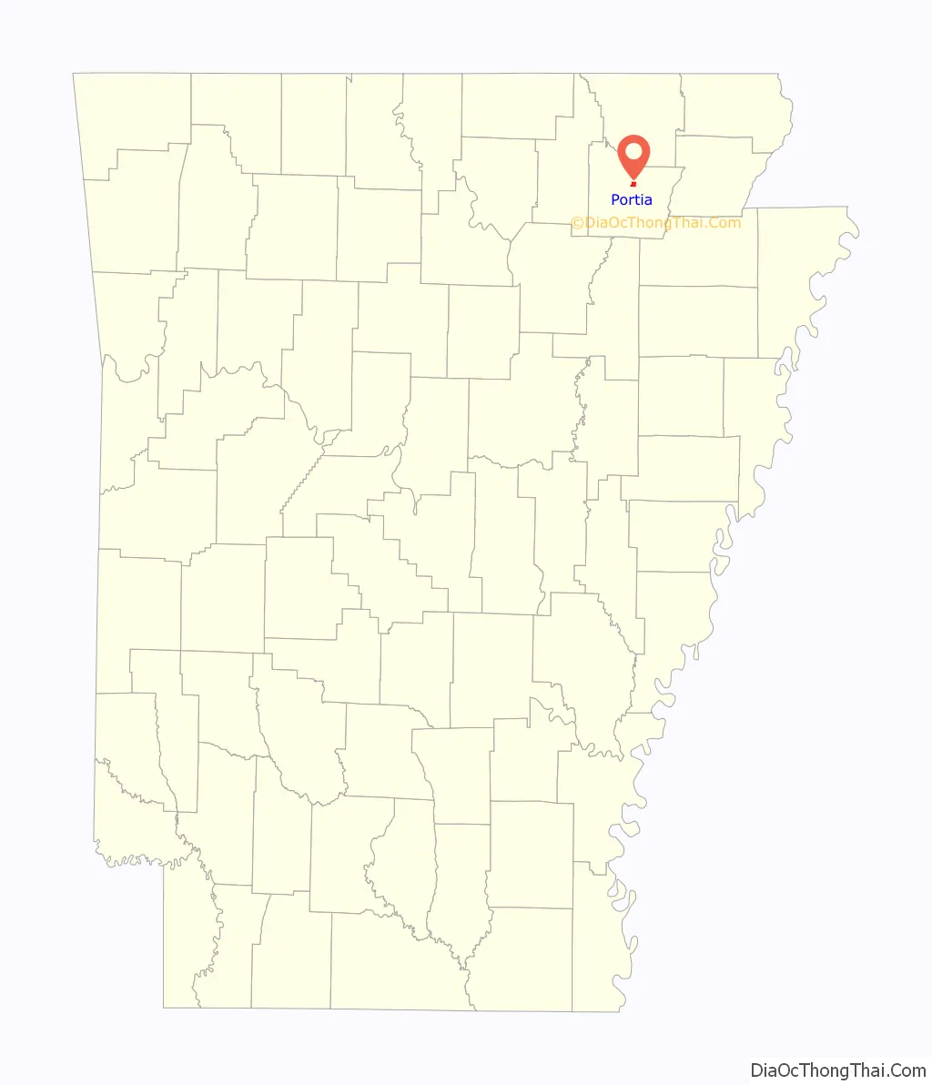
| State: | Arkansas |
| County: | Lawrence County |
| Elevation: | 262 ft (80 m) |
| Total Area: | 1.29 sq mi (3.35 km²) |
| Land Area: | 1.29 sq mi (3.35 km²) |
| Water Area: | 0.00 sq mi (0.00 km²) |
| Total Population: | 424 |
| Population Density: | 328.17/sq mi (126.67/km²) |
| ZIP code: | 72457 |
| Area code: | 870 |
| FIPS code: | 0556720 |
| GNISfeature ID: | 0053704 |
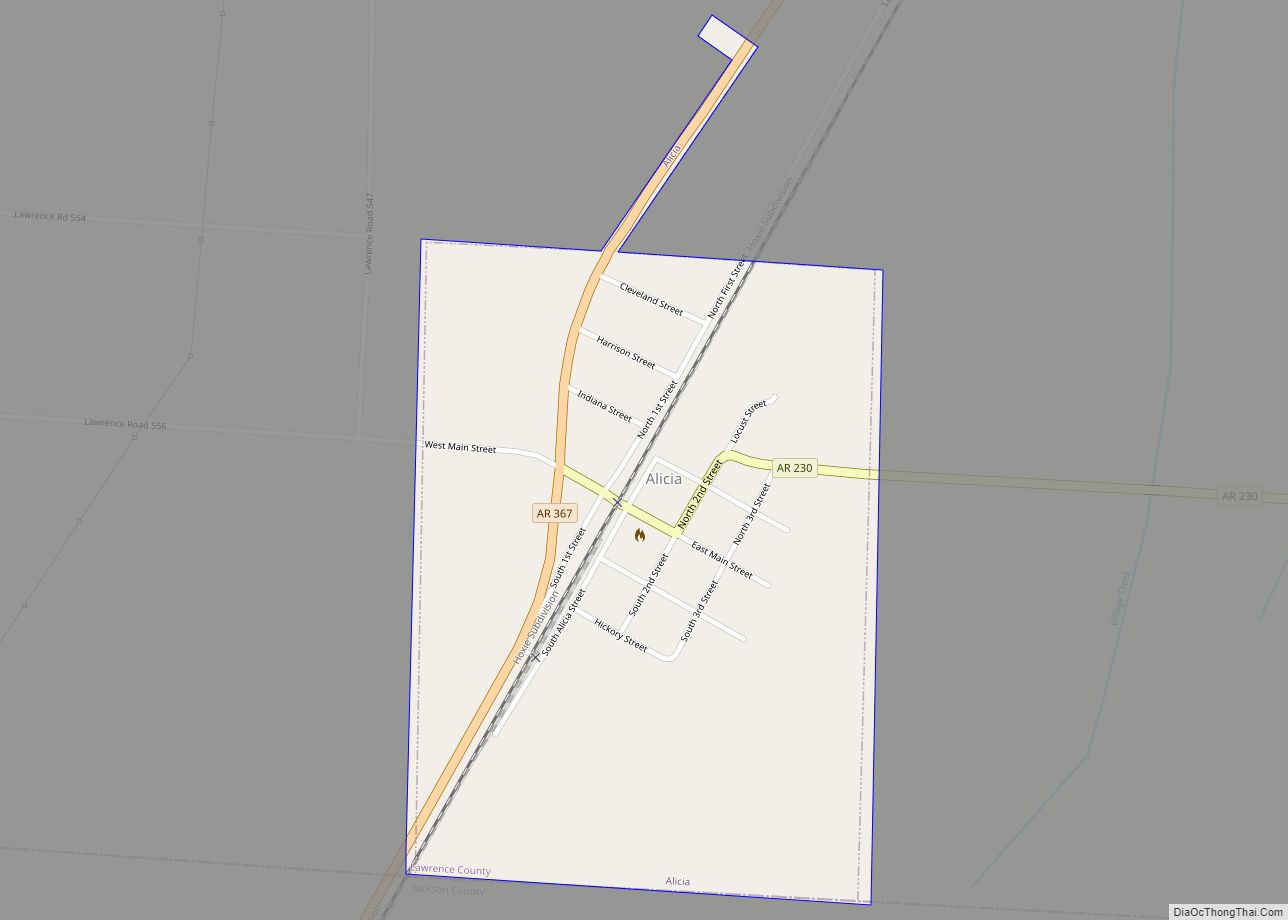
Online Interactive Map
Click on ![]() to view map in "full screen" mode.
to view map in "full screen" mode.
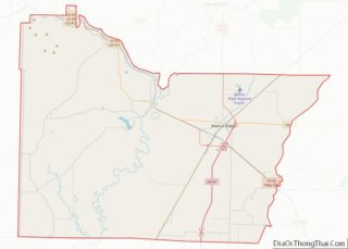
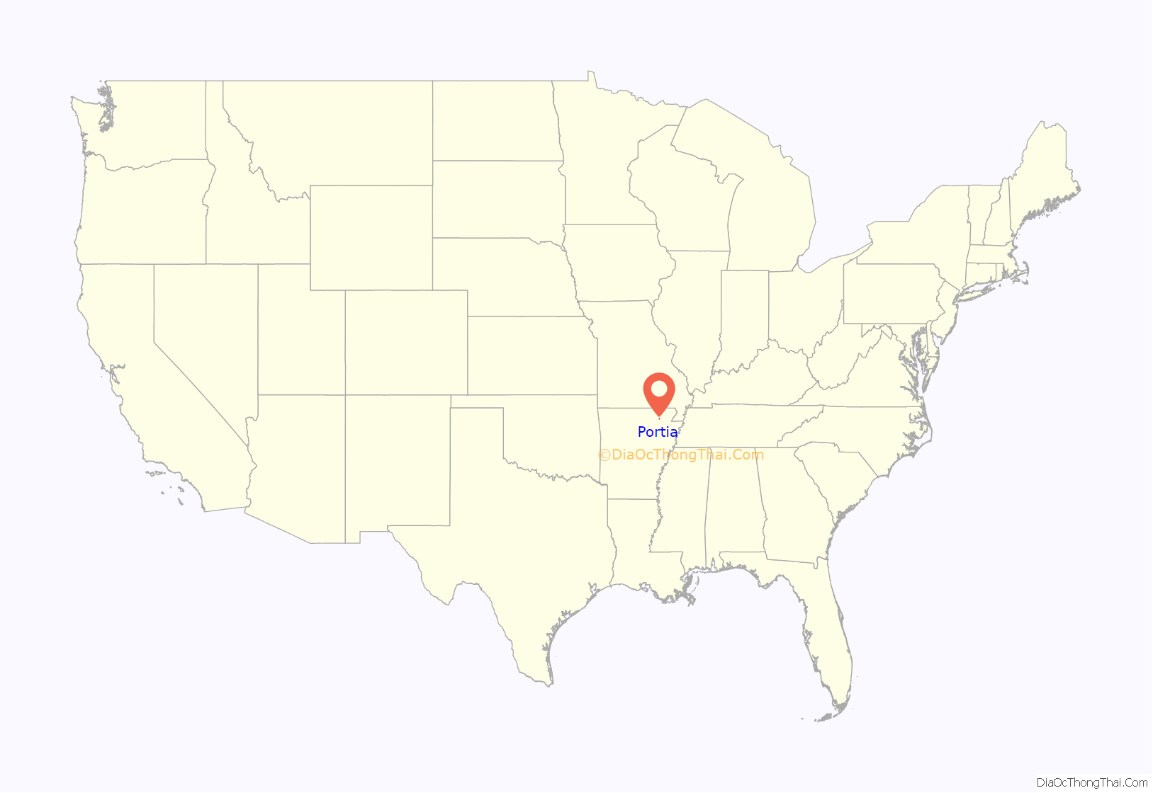
Portia location map. Where is Portia town?
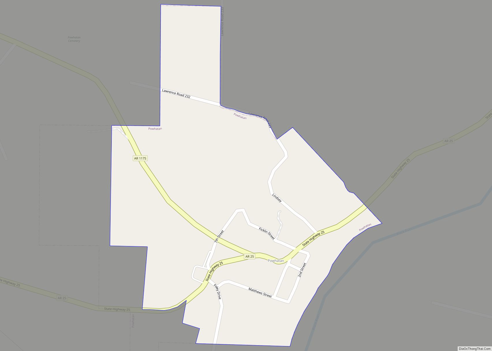
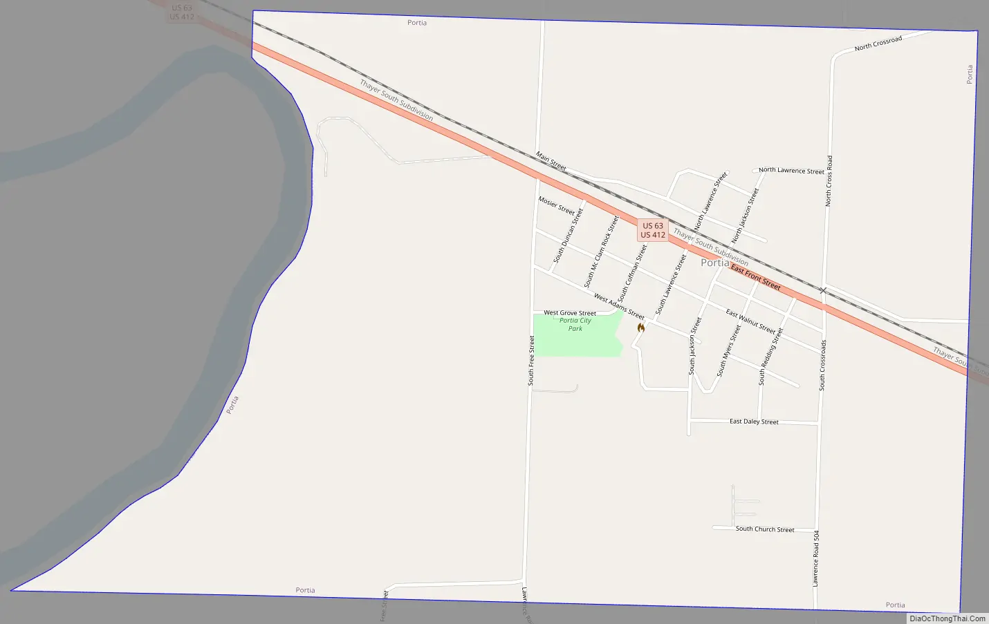
Portia Road Map
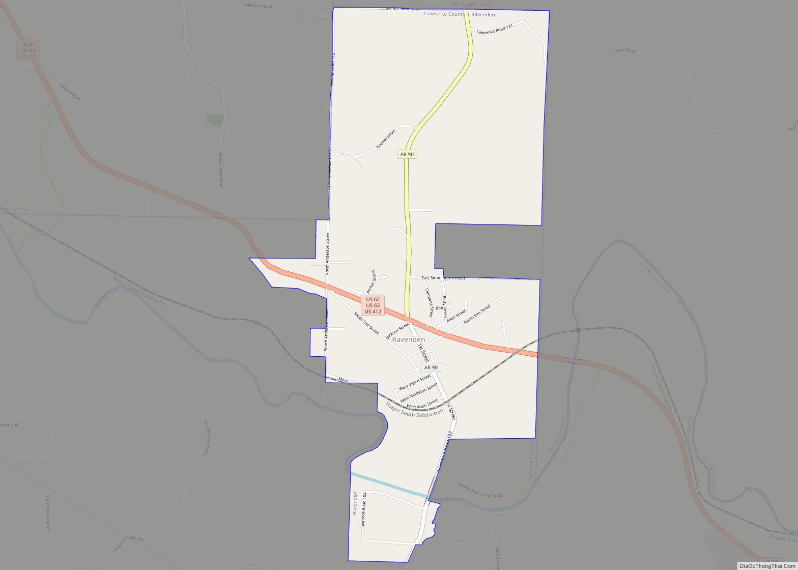
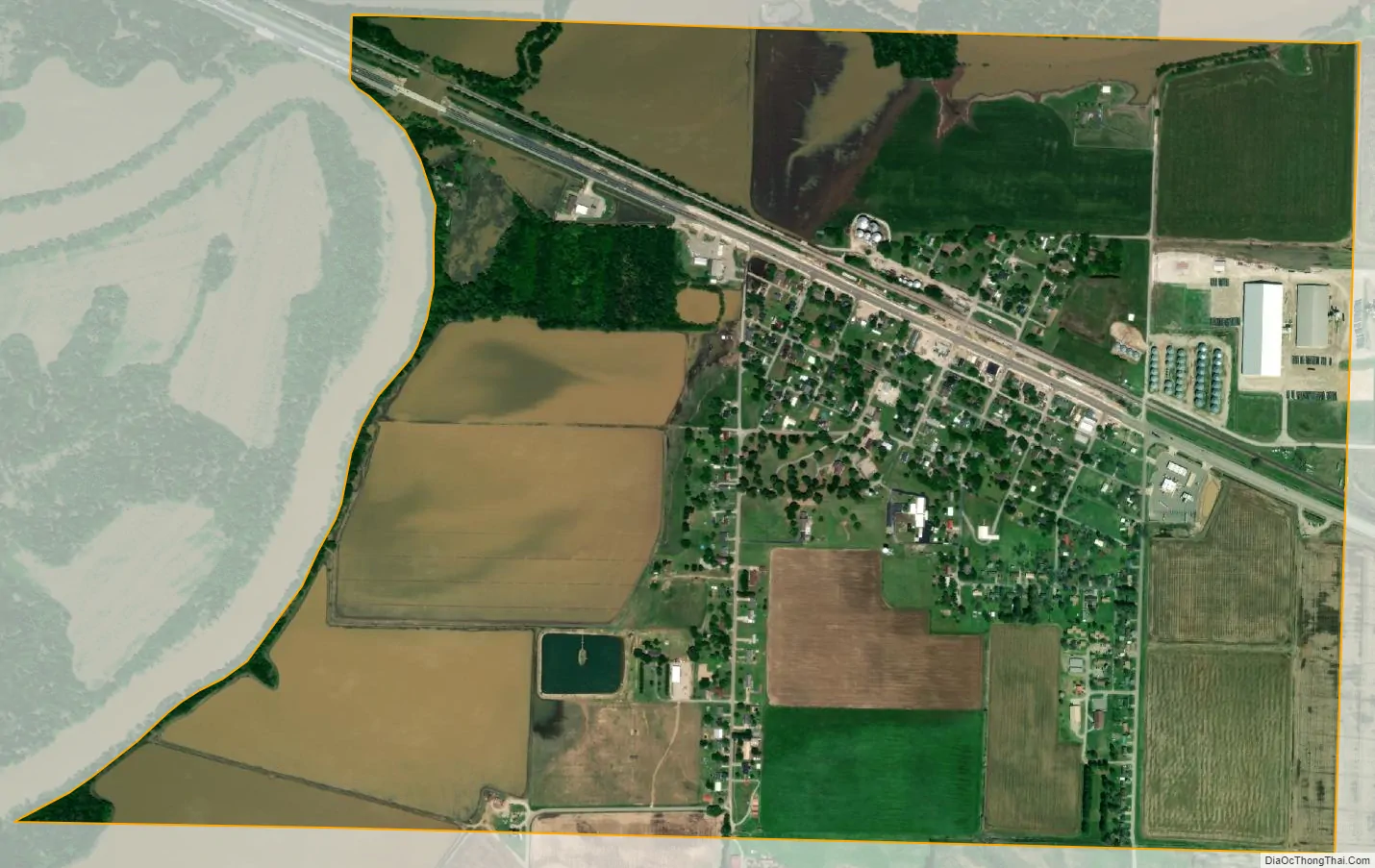
Portia city Satellite Map
Geography
Portia is located in north-central Lawrence County at 36°5′7″N 91°4′6″W / 36.08528°N 91.06833°W / 36.08528; -91.06833 (36.085273, -91.068430).
According to the United States Census Bureau, the town has a total area of 1.3 square miles (3.3 km), all land.
U.S. Routes 63 and 412 run concurrently through the center of town, leading northwest 2 miles (3 km) to Black Rock. To the southeast, US 412 leads 6.5 miles (10.5 km) to Walnut Ridge, the county seat, while US 63 leads 6 miles (10 km) to Hoxie.
See also
Map of Arkansas State and its subdivision:- Arkansas
- Ashley
- Baxter
- Benton
- Boone
- Bradley
- Calhoun
- Carroll
- Chicot
- Clark
- Clay
- Cleburne
- Cleveland
- Columbia
- Conway
- Craighead
- Crawford
- Crittenden
- Cross
- Dallas
- Desha
- Drew
- Faulkner
- Franklin
- Fulton
- Garland
- Grant
- Greene
- Hempstead
- Hot Spring
- Howard
- Independence
- Izard
- Jackson
- Jefferson
- Johnson
- Lafayette
- Lawrence
- Lee
- Lincoln
- Little River
- Logan
- Lonoke
- Madison
- Marion
- Miller
- Mississippi
- Monroe
- Montgomery
- Nevada
- Newton
- Ouachita
- Perry
- Phillips
- Pike
- Poinsett
- Polk
- Pope
- Prairie
- Pulaski
- Randolph
- Saint Francis
- Saline
- Scott
- Searcy
- Sebastian
- Sevier
- Sharp
- Stone
- Union
- Van Buren
- Washington
- White
- Woodruff
- Yell
- Alabama
- Alaska
- Arizona
- Arkansas
- California
- Colorado
- Connecticut
- Delaware
- District of Columbia
- Florida
- Georgia
- Hawaii
- Idaho
- Illinois
- Indiana
- Iowa
- Kansas
- Kentucky
- Louisiana
- Maine
- Maryland
- Massachusetts
- Michigan
- Minnesota
- Mississippi
- Missouri
- Montana
- Nebraska
- Nevada
- New Hampshire
- New Jersey
- New Mexico
- New York
- North Carolina
- North Dakota
- Ohio
- Oklahoma
- Oregon
- Pennsylvania
- Rhode Island
- South Carolina
- South Dakota
- Tennessee
- Texas
- Utah
- Vermont
- Virginia
- Washington
- West Virginia
- Wisconsin
- Wyoming