Prairie Grove is a city in Washington County, Arkansas, United States. The population was 7,045 at the 2020 Census. It is part of the Northwest Arkansas region, and home to Prairie Grove Battlefield State Park.
| Name: | Prairie Grove city |
|---|---|
| LSAD Code: | 25 |
| LSAD Description: | city (suffix) |
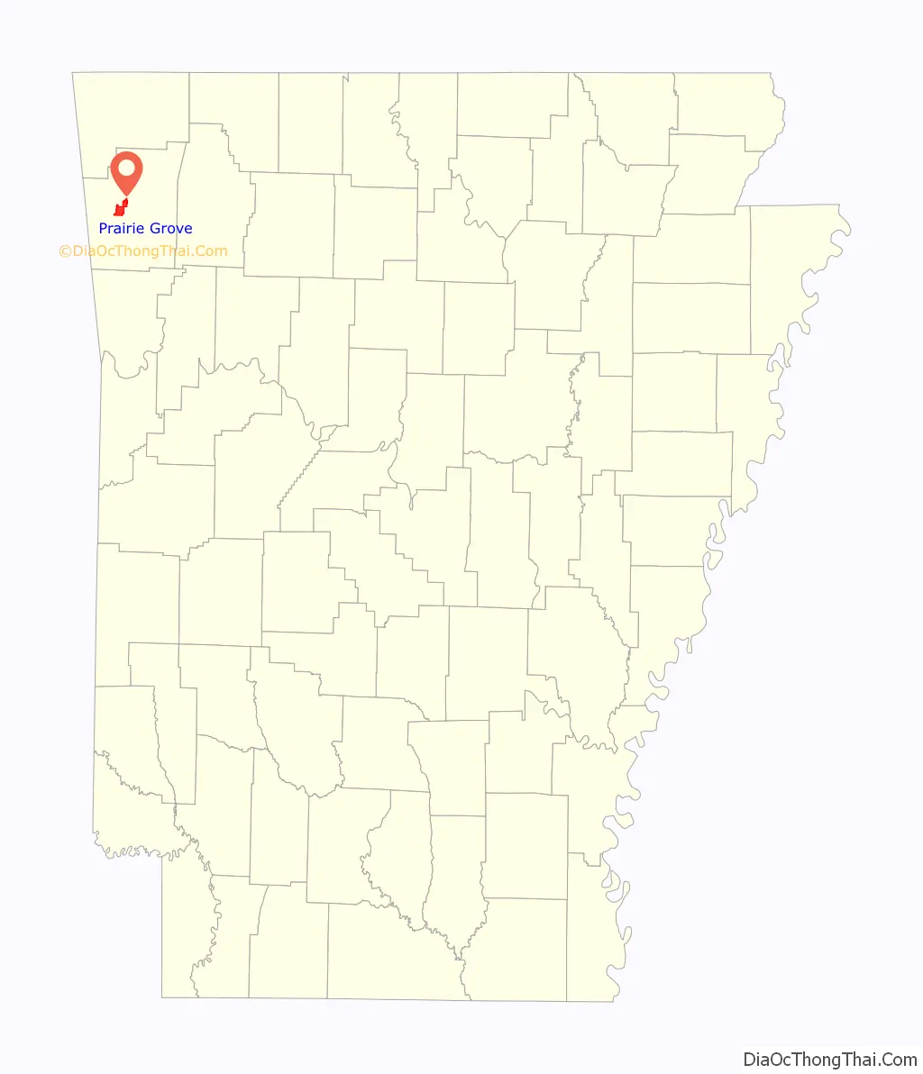
| State: | Arkansas |
| County: | Washington County |
| Incorporated: | July 9, 1888 (1888-07-09) |
| Elevation: | 1,184 ft (361 m) |
| Total Area: | 9.33 sq mi (24.16 km²) |
| Land Area: | 9.28 sq mi (24.04 km²) |
| Water Area: | 0.05 sq mi (0.12 km²) |
| Total Population: | 7,045 |
| Population Density: | 759.08/sq mi (293.08/km²) |
| ZIP code: | 72753 |
| Area code: | 479 |
| FIPS code: | 0557170 |
| GNISfeature ID: | 2404567 |
| Website: | http://www.prairiegrovearkansas.org/ |
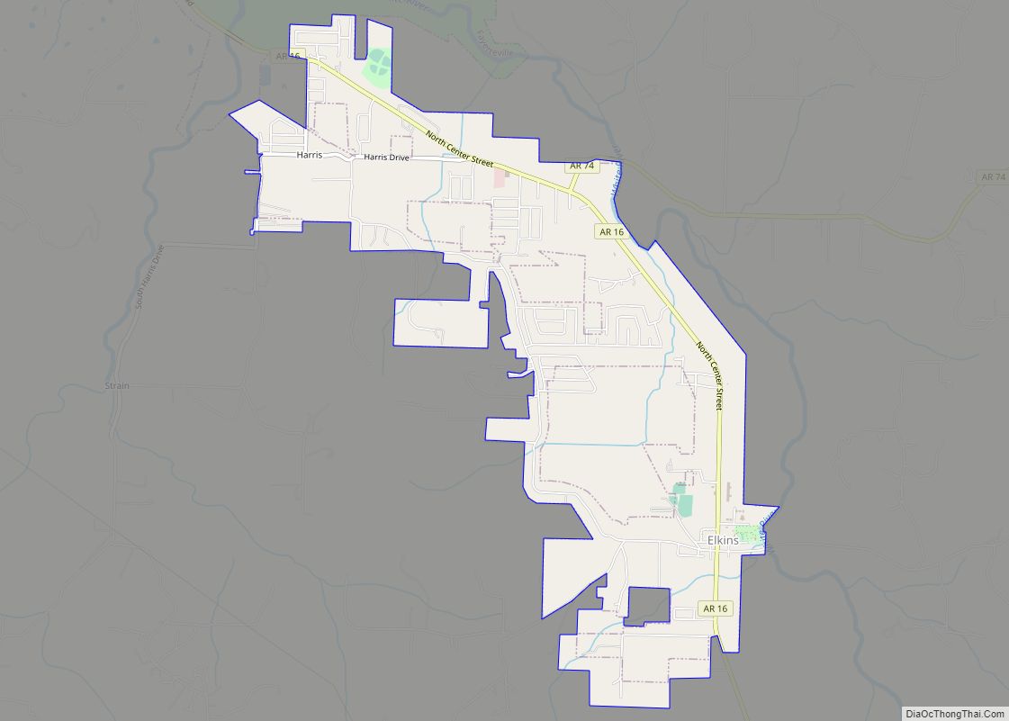
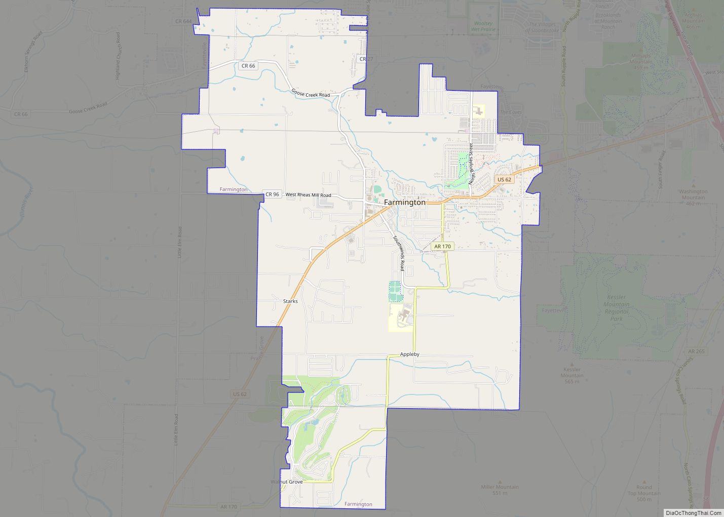
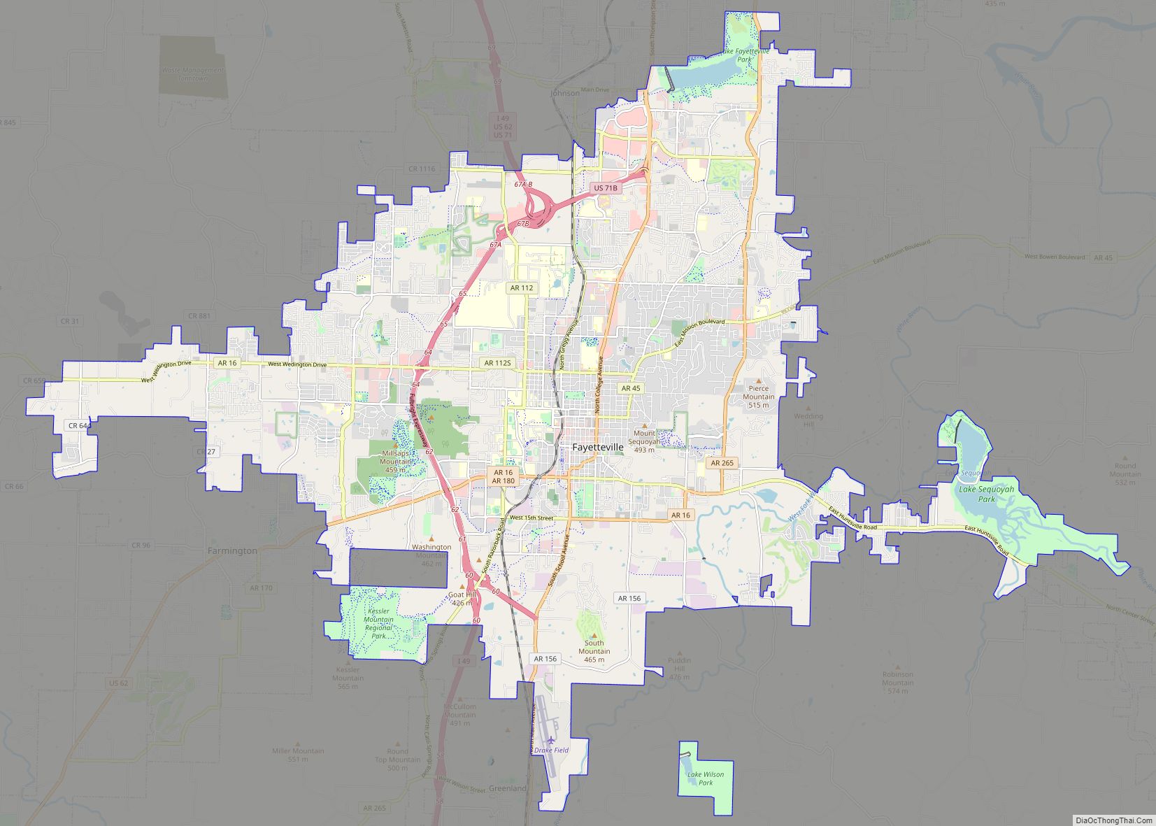
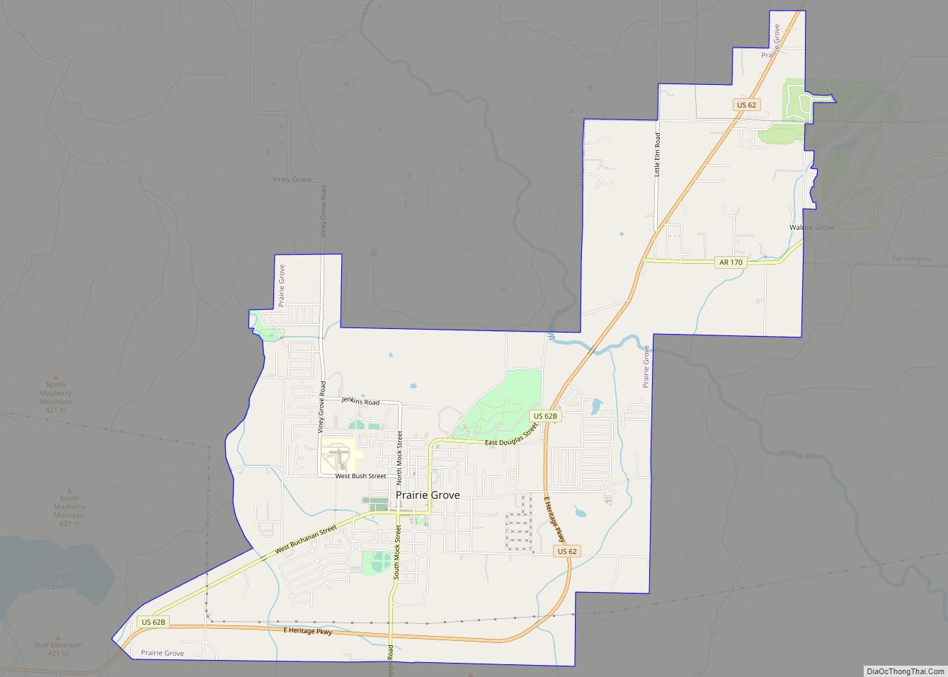
Online Interactive Map
Click on ![]() to view map in "full screen" mode.
to view map in "full screen" mode.
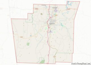
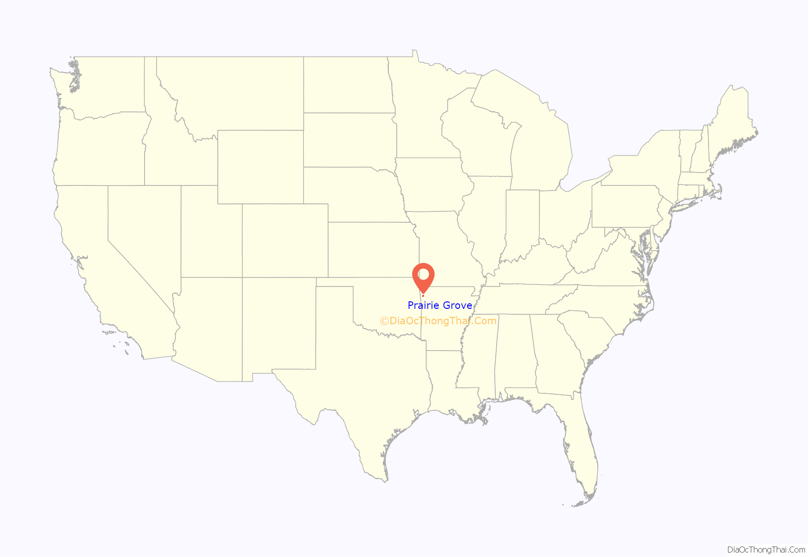
Prairie Grove location map. Where is Prairie Grove city?
History
Prairie Grove was the site of the Battle of Prairie Grove during the American Civil War. Confederate forces under General Thomas C. Hindman attempted to prevent the juncture of two Federal forces under Generals James G. Blunt and Francis J. Herron. The result of the battle was a tactical stalemate which assured permanent Union control of northwest Arkansas. The battlefield is now a State Military Park.
A post office has been in operation at Prairie Grove since 1867. Prairie Grove was platted in 1877. A 100-foot wind turbine near Prairie Grove was installed in the early 2000s.
The Natural Resources Defense Council released an issue paper stating between that 1997 and 2001, Prairie Grove was the center of a cluster of testicular cancer cases. No clear cause has been identified but the NRDC notes the town is near a closed nuclear reactor and a low-level radioactive landfill. Arsenic from industrialized chicken manure is another possible source. In 2004, residents sued one of the poultry farms and the poultry feed manufacturer for spreading contaminated manure throughout Prairie Grove. The lawsuit did not assign blame and the cause of the cancer cluster has never been definitively determined.
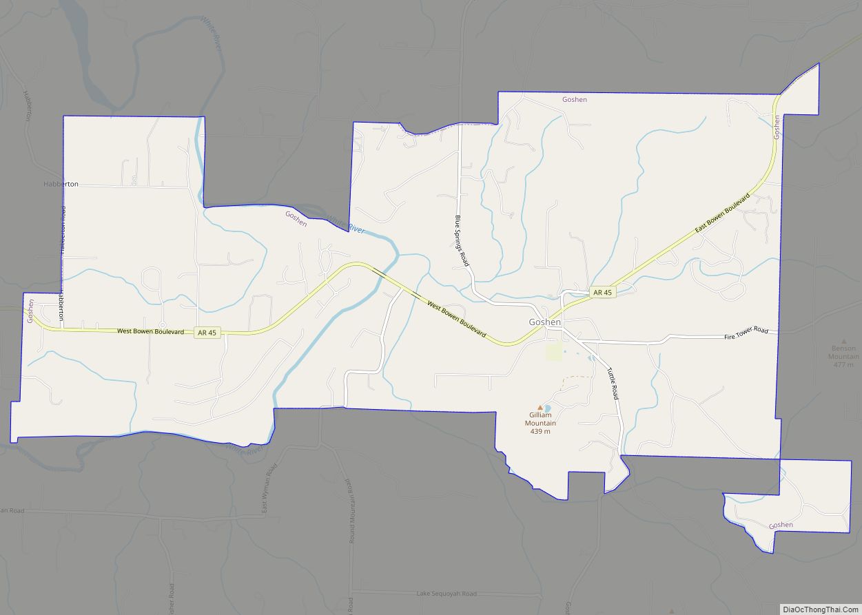
Prairie Grove Road Map
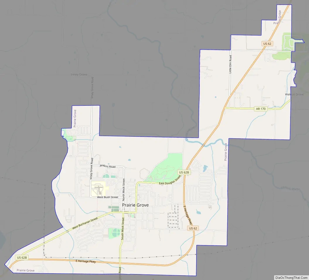
Prairie Grove city Satellite Map
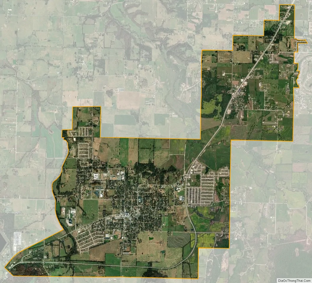
Geography
According to the United States Census Bureau, the city has a total area of 2.1 square miles (5.4 km), all land.
See also
Map of Arkansas State and its subdivision:- Arkansas
- Ashley
- Baxter
- Benton
- Boone
- Bradley
- Calhoun
- Carroll
- Chicot
- Clark
- Clay
- Cleburne
- Cleveland
- Columbia
- Conway
- Craighead
- Crawford
- Crittenden
- Cross
- Dallas
- Desha
- Drew
- Faulkner
- Franklin
- Fulton
- Garland
- Grant
- Greene
- Hempstead
- Hot Spring
- Howard
- Independence
- Izard
- Jackson
- Jefferson
- Johnson
- Lafayette
- Lawrence
- Lee
- Lincoln
- Little River
- Logan
- Lonoke
- Madison
- Marion
- Miller
- Mississippi
- Monroe
- Montgomery
- Nevada
- Newton
- Ouachita
- Perry
- Phillips
- Pike
- Poinsett
- Polk
- Pope
- Prairie
- Pulaski
- Randolph
- Saint Francis
- Saline
- Scott
- Searcy
- Sebastian
- Sevier
- Sharp
- Stone
- Union
- Van Buren
- Washington
- White
- Woodruff
- Yell
- Alabama
- Alaska
- Arizona
- Arkansas
- California
- Colorado
- Connecticut
- Delaware
- District of Columbia
- Florida
- Georgia
- Hawaii
- Idaho
- Illinois
- Indiana
- Iowa
- Kansas
- Kentucky
- Louisiana
- Maine
- Maryland
- Massachusetts
- Michigan
- Minnesota
- Mississippi
- Missouri
- Montana
- Nebraska
- Nevada
- New Hampshire
- New Jersey
- New Mexico
- New York
- North Carolina
- North Dakota
- Ohio
- Oklahoma
- Oregon
- Pennsylvania
- Rhode Island
- South Carolina
- South Dakota
- Tennessee
- Texas
- Utah
- Vermont
- Virginia
- Washington
- West Virginia
- Wisconsin
- Wyoming