Sedgwick is a town in Lawrence County, Arkansas, United States. The population was 152 at the 2010 census, up from 112 at the 2000 census.
| Name: | Sedgwick town |
|---|---|
| LSAD Code: | 43 |
| LSAD Description: | town (suffix) |
| State: | Arkansas |
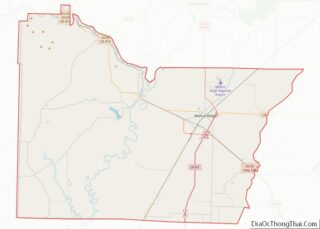
| County: | Lawrence County |
| Elevation: | 262 ft (80 m) |
| Total Area: | 0.52 sq mi (1.35 km²) |
| Land Area: | 0.52 sq mi (1.35 km²) |
| Water Area: | 0.00 sq mi (0.00 km²) |
| Total Population: | 163 |
| Population Density: | 314.07/sq mi (121.16/km²) |
| ZIP code: | 72465 |
| Area code: | 870 |
| FIPS code: | 0563110 |
| GNISfeature ID: | 0058595 |
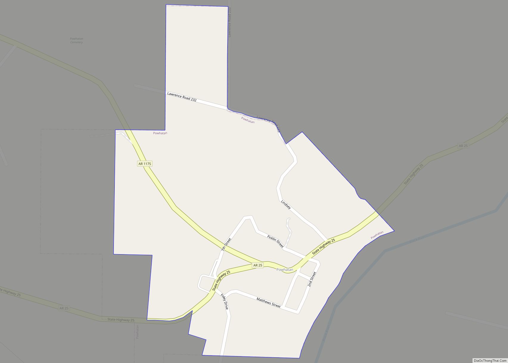
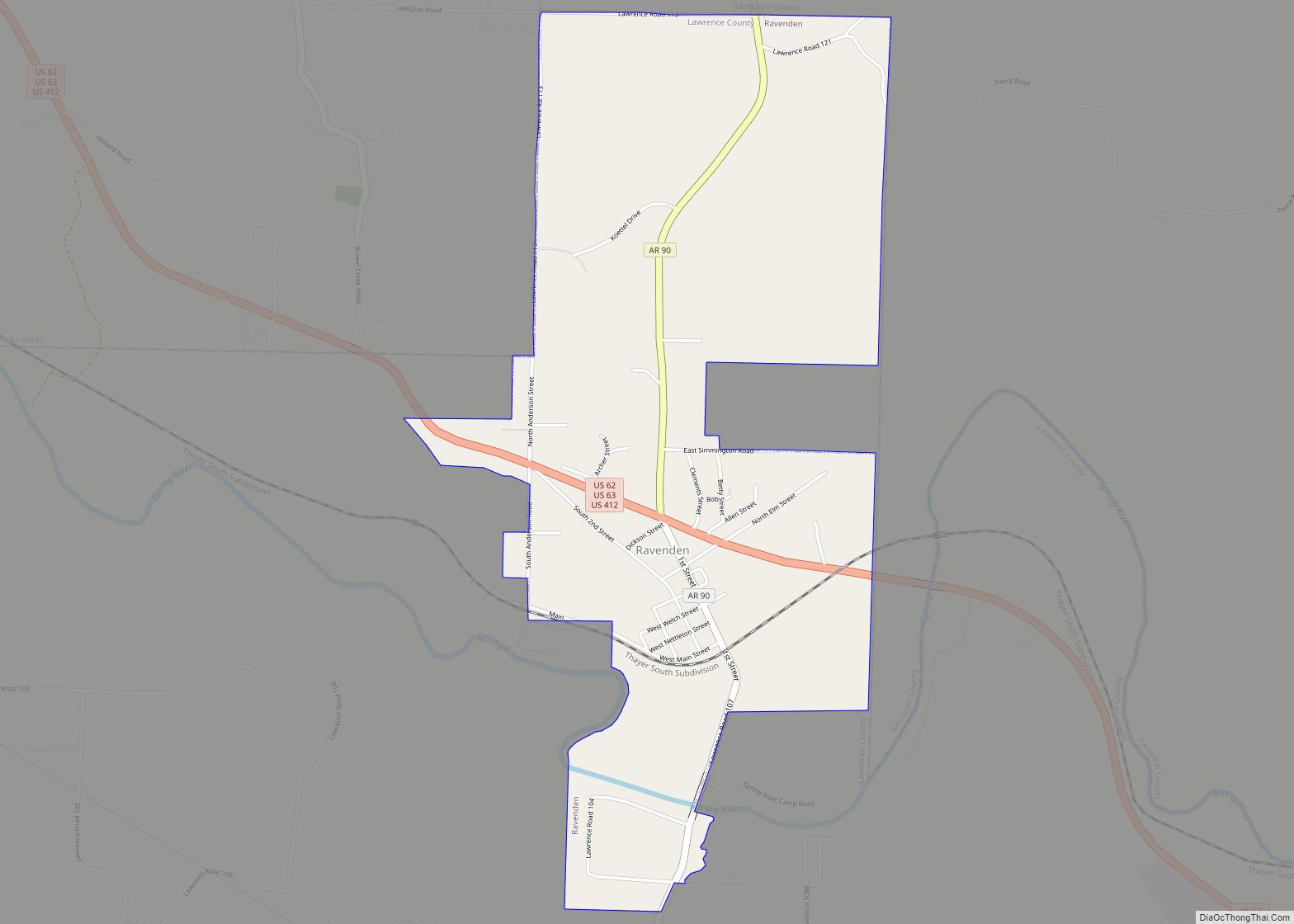
Online Interactive Map
Click on ![]() to view map in "full screen" mode.
to view map in "full screen" mode.
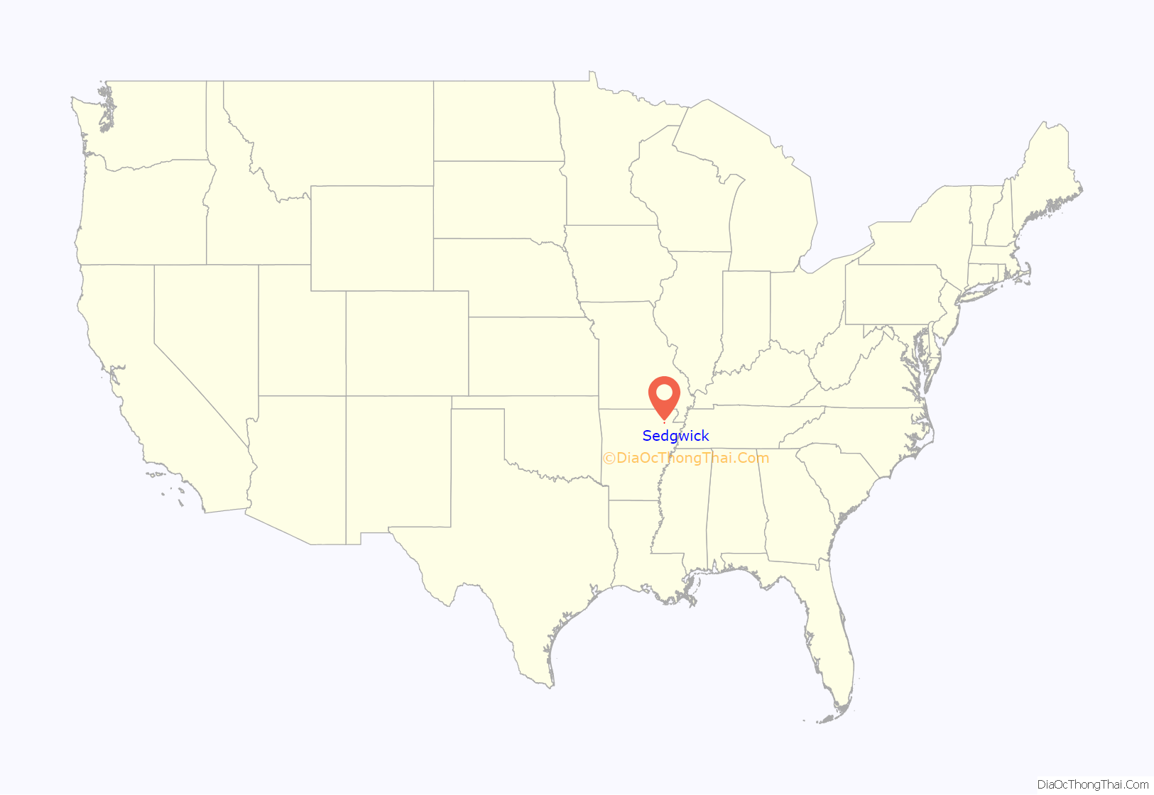
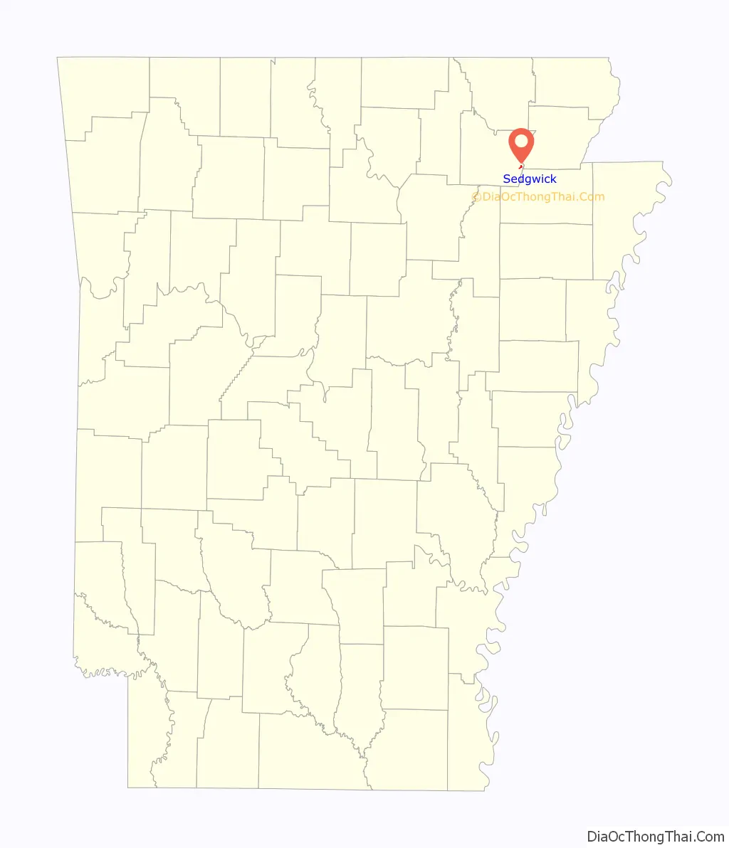
Sedgwick location map. Where is Sedgwick town?
History
About 1881 George Washington Sedgwick, president of the Sedgwick Tie Company, “established a sawmill on the Cache River in Lawrence County, Arkansas, and a small town was established named Sedgwick, Ark.”
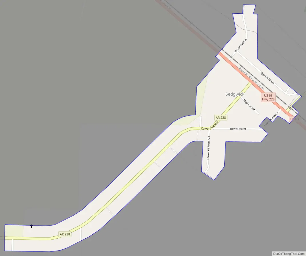
Sedgwick Road Map
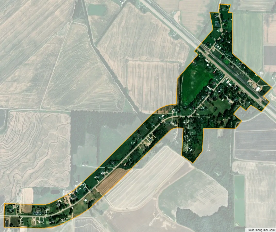
Sedgwick city Satellite Map
Geography
Sedgwick is in eastern Lawrence County, less than 1 mile (1.6 km) west of the Cache River, which forms the Lawrence County/Greene County line.
U.S. Route 63 passes through the town, leading northwest 10 miles (16 km) to Hoxie and southeast 14 miles (23 km) to Jonesboro. Arkansas Highway 228 leads northeast from Sedgwick 9 miles (14 km) to U.S. Route 412 at Light.
See also
Map of Arkansas State and its subdivision:- Arkansas
- Ashley
- Baxter
- Benton
- Boone
- Bradley
- Calhoun
- Carroll
- Chicot
- Clark
- Clay
- Cleburne
- Cleveland
- Columbia
- Conway
- Craighead
- Crawford
- Crittenden
- Cross
- Dallas
- Desha
- Drew
- Faulkner
- Franklin
- Fulton
- Garland
- Grant
- Greene
- Hempstead
- Hot Spring
- Howard
- Independence
- Izard
- Jackson
- Jefferson
- Johnson
- Lafayette
- Lawrence
- Lee
- Lincoln
- Little River
- Logan
- Lonoke
- Madison
- Marion
- Miller
- Mississippi
- Monroe
- Montgomery
- Nevada
- Newton
- Ouachita
- Perry
- Phillips
- Pike
- Poinsett
- Polk
- Pope
- Prairie
- Pulaski
- Randolph
- Saint Francis
- Saline
- Scott
- Searcy
- Sebastian
- Sevier
- Sharp
- Stone
- Union
- Van Buren
- Washington
- White
- Woodruff
- Yell
- Alabama
- Alaska
- Arizona
- Arkansas
- California
- Colorado
- Connecticut
- Delaware
- District of Columbia
- Florida
- Georgia
- Hawaii
- Idaho
- Illinois
- Indiana
- Iowa
- Kansas
- Kentucky
- Louisiana
- Maine
- Maryland
- Massachusetts
- Michigan
- Minnesota
- Mississippi
- Missouri
- Montana
- Nebraska
- Nevada
- New Hampshire
- New Jersey
- New Mexico
- New York
- North Carolina
- North Dakota
- Ohio
- Oklahoma
- Oregon
- Pennsylvania
- Rhode Island
- South Carolina
- South Dakota
- Tennessee
- Texas
- Utah
- Vermont
- Virginia
- Washington
- West Virginia
- Wisconsin
- Wyoming