West Fork is a city in Washington County, Arkansas, United States. The population is 2,331 at the 2020 census. It is part of the Northwest Arkansas region.
| Name: | West Fork city |
|---|---|
| LSAD Code: | 25 |
| LSAD Description: | city (suffix) |
| State: | Arkansas |
| County: | Washington County |
| Founded: | 1848 |
| Incorporated: | May 18, 1885 |
| Elevation: | 1,362 ft (415 m) |
| Total Area: | 3.73 sq mi (9.67 km²) |
| Land Area: | 3.67 sq mi (9.50 km²) |
| Water Area: | 0.07 sq mi (0.17 km²) |
| Total Population: | 2,331 |
| Population Density: | 635.84/sq mi (245.47/km²) |
| ZIP code: | 72774 |
| Area code: | 479 |
| FIPS code: | 0574360 |
| GNISfeature ID: | 2405707 |
| Website: | www.westforkar.com |
Online Interactive Map
Click on ![]() to view map in "full screen" mode.
to view map in "full screen" mode.
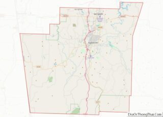
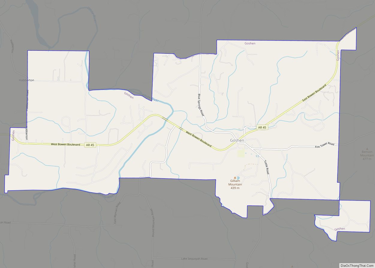
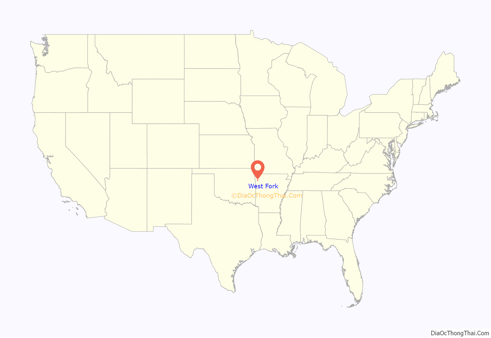
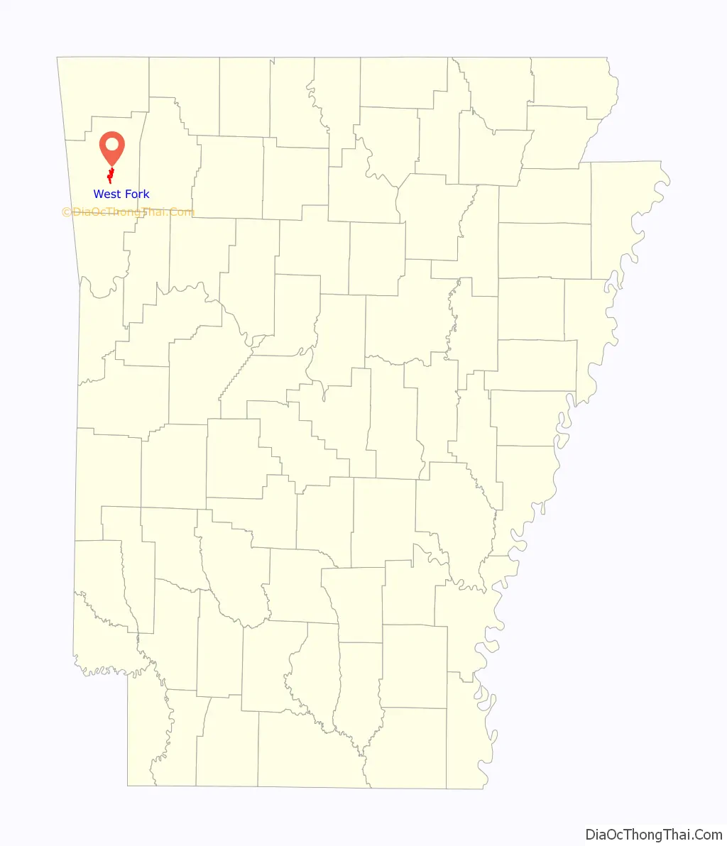
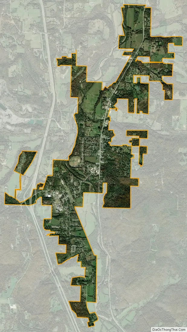
West Fork location map. Where is West Fork city?
History
West Fork was incorporated as a city in 1885.
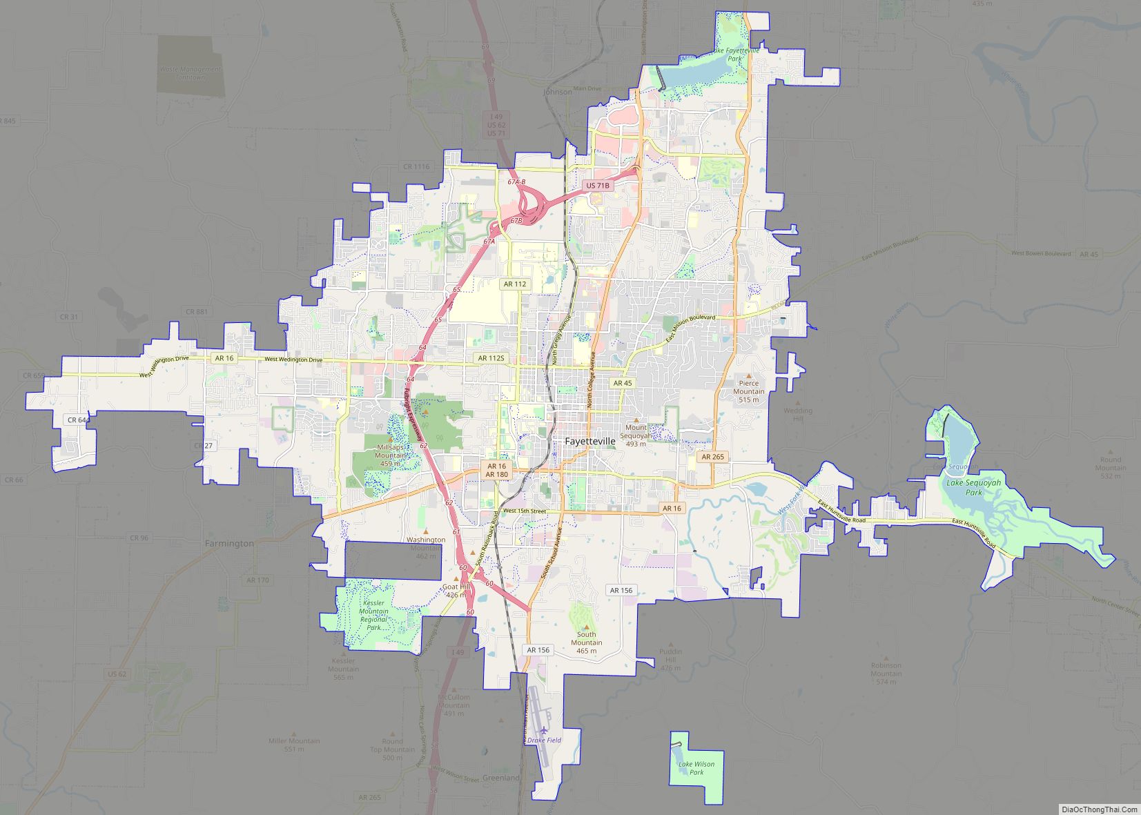
West Fork Road Map
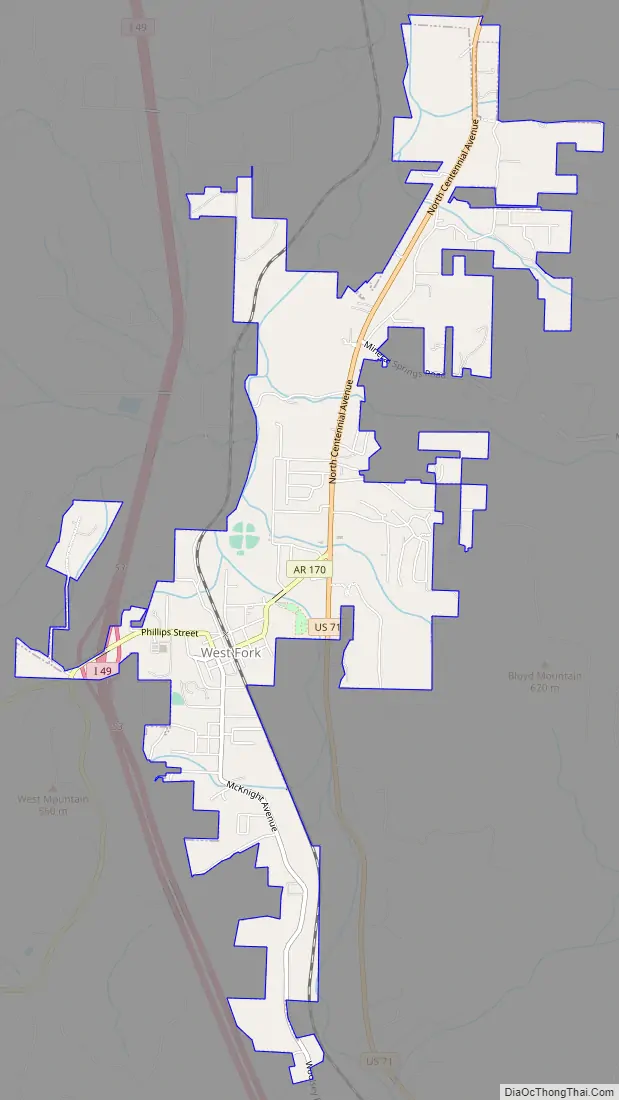
West Fork city Satellite Map
Geography
West Fork is located at 35°56′08″N 94°10′48″W / 35.93556°N 94.18000°W / 35.93556; -94.18000 (35.9356771, -94.1801038) at an elevation of 1,358 feet (414 m). According to the United States Census Bureau, the city has a total area of 3.3 square miles (8.5 km), all land.
See also
Map of Arkansas State and its subdivision:- Arkansas
- Ashley
- Baxter
- Benton
- Boone
- Bradley
- Calhoun
- Carroll
- Chicot
- Clark
- Clay
- Cleburne
- Cleveland
- Columbia
- Conway
- Craighead
- Crawford
- Crittenden
- Cross
- Dallas
- Desha
- Drew
- Faulkner
- Franklin
- Fulton
- Garland
- Grant
- Greene
- Hempstead
- Hot Spring
- Howard
- Independence
- Izard
- Jackson
- Jefferson
- Johnson
- Lafayette
- Lawrence
- Lee
- Lincoln
- Little River
- Logan
- Lonoke
- Madison
- Marion
- Miller
- Mississippi
- Monroe
- Montgomery
- Nevada
- Newton
- Ouachita
- Perry
- Phillips
- Pike
- Poinsett
- Polk
- Pope
- Prairie
- Pulaski
- Randolph
- Saint Francis
- Saline
- Scott
- Searcy
- Sebastian
- Sevier
- Sharp
- Stone
- Union
- Van Buren
- Washington
- White
- Woodruff
- Yell
- Alabama
- Alaska
- Arizona
- Arkansas
- California
- Colorado
- Connecticut
- Delaware
- District of Columbia
- Florida
- Georgia
- Hawaii
- Idaho
- Illinois
- Indiana
- Iowa
- Kansas
- Kentucky
- Louisiana
- Maine
- Maryland
- Massachusetts
- Michigan
- Minnesota
- Mississippi
- Missouri
- Montana
- Nebraska
- Nevada
- New Hampshire
- New Jersey
- New Mexico
- New York
- North Carolina
- North Dakota
- Ohio
- Oklahoma
- Oregon
- Pennsylvania
- Rhode Island
- South Carolina
- South Dakota
- Tennessee
- Texas
- Utah
- Vermont
- Virginia
- Washington
- West Virginia
- Wisconsin
- Wyoming