Winslow (formerly Summit Home) is a city in southern Washington County, Arkansas, United States. The population was 365 as of the 2020 census. It is part of the Northwest Arkansas region.
| Name: | Winslow city |
|---|---|
| LSAD Code: | 25 |
| LSAD Description: | city (suffix) |
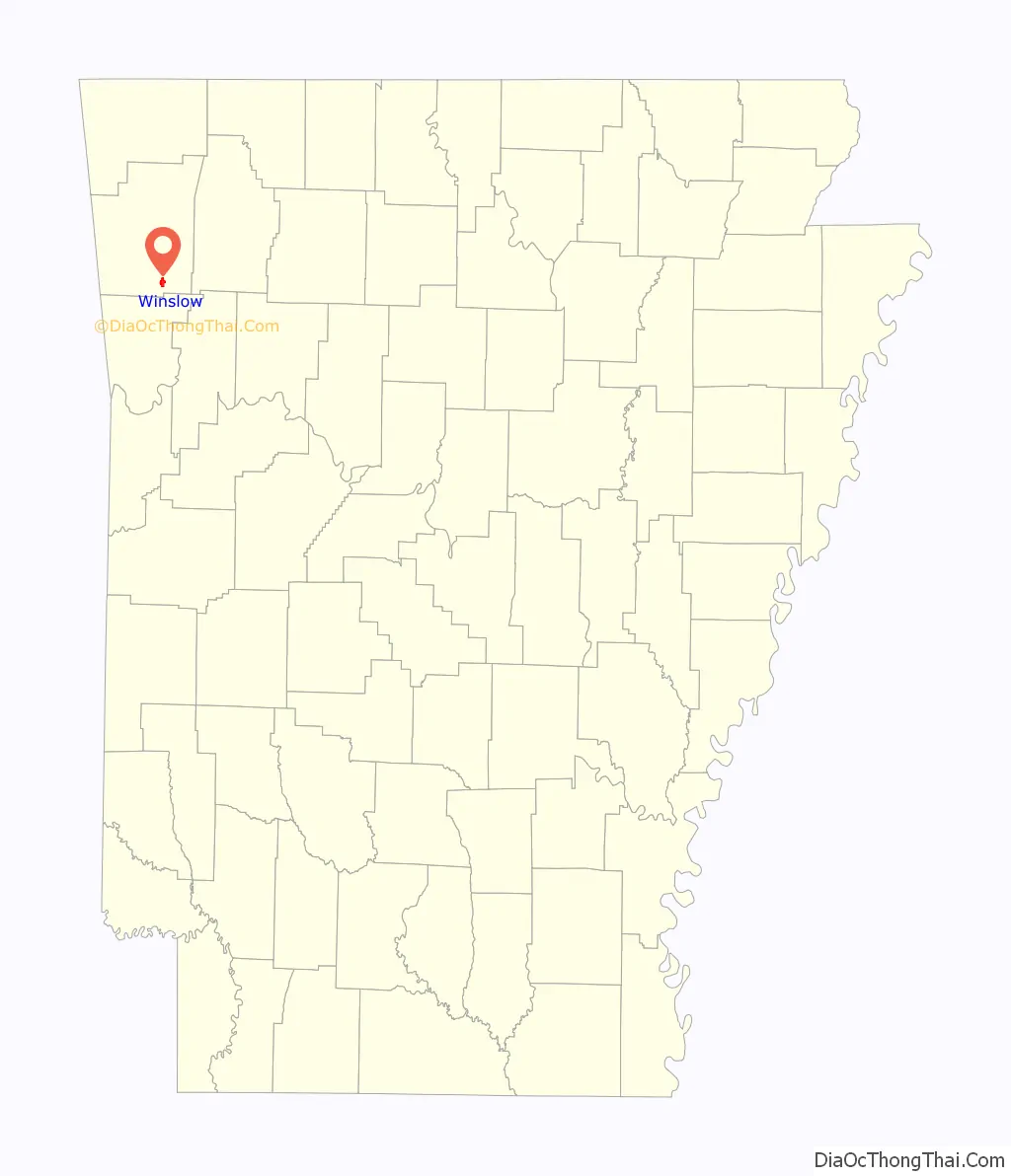
| State: | Arkansas |
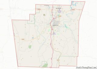
| County: | Washington County |
| Incorporated: | February 27, 1905 |
| Elevation: | 1,867 ft (569 m) |
| Total Area: | 1.83 sq mi (4.73 km²) |
| Land Area: | 1.82 sq mi (4.72 km²) |
| Water Area: | 0.00 sq mi (0.01 km²) |
| Total Population: | 365 |
| Population Density: | 200.33/sq mi (77.33/km²) |
| ZIP code: | 72959 |
| Area code: | 479 |
| FIPS code: | 0576190 |
| GNISfeature ID: | 2405770 |
| Website: | http://www.winslowar.com |
Online Interactive Map
Click on ![]() to view map in "full screen" mode.
to view map in "full screen" mode.
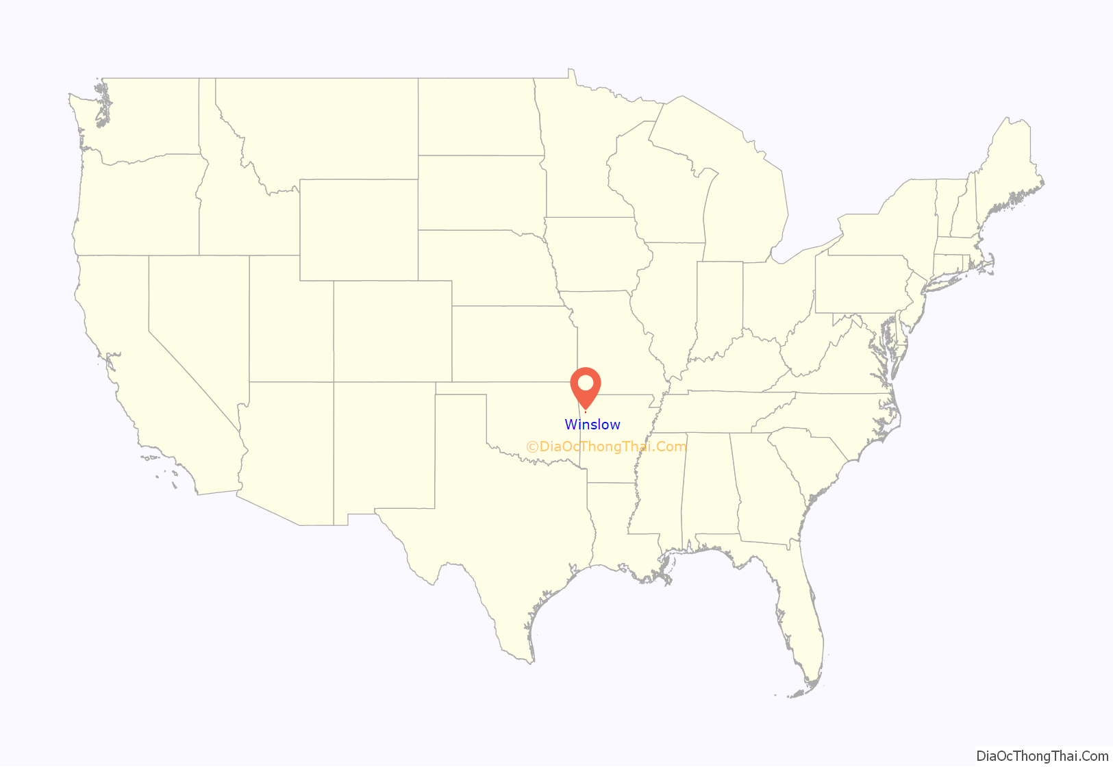
Winslow location map. Where is Winslow city?
History
A stagecoach stop for many years, the community now known as Winslow first received a post office on December 11, 1876, known as Summit Home. The town grew significantly upon completion of the Winslow Tunnel, which allowed the St. Louis – San Francisco Railway (Frisco) to run through the steep Boston Mountains of south Washington County. The town was renamed to Winslow on August 3, 1881 in honor of Edward F. Winslow, president of the Frisco Railroad. The town became a somewhat resort town for its picturesque peaks at the end of the 19th century, drawing many wealthy from the Fort Smith area to summer there. It was incorporated on February 17, 1905.
Winslow Road Map
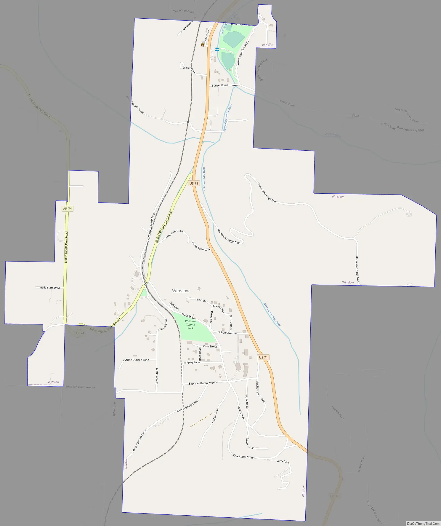
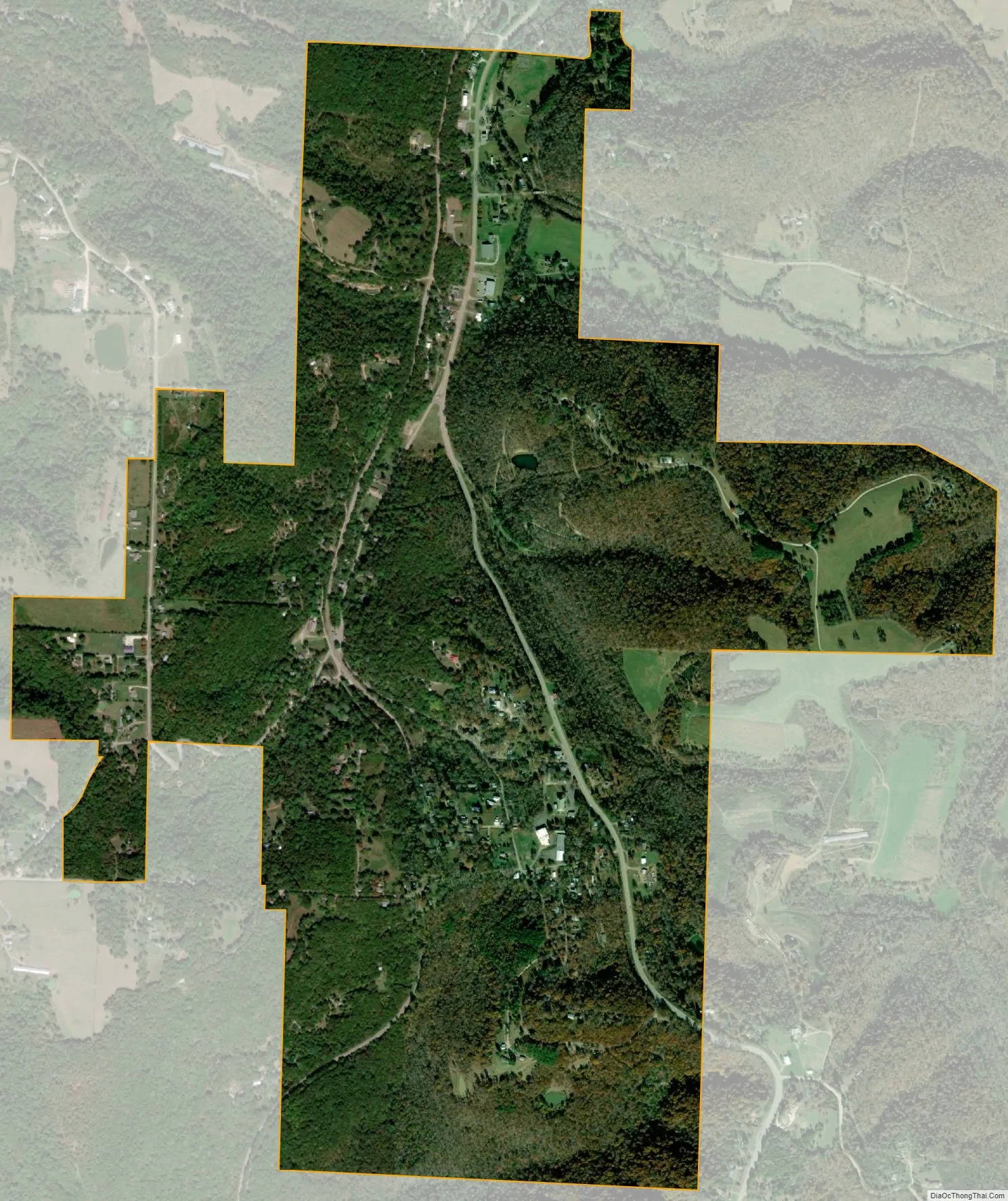
Winslow city Satellite Map
Geography
According to the United States Census Bureau, the city has a total area of 1.9 square miles (4.9 km), all land. Winslow is 12 miles (19 km) east of Devil’s Den State Park, along Arkansas Highway 74.
See also
Map of Arkansas State and its subdivision:- Arkansas
- Ashley
- Baxter
- Benton
- Boone
- Bradley
- Calhoun
- Carroll
- Chicot
- Clark
- Clay
- Cleburne
- Cleveland
- Columbia
- Conway
- Craighead
- Crawford
- Crittenden
- Cross
- Dallas
- Desha
- Drew
- Faulkner
- Franklin
- Fulton
- Garland
- Grant
- Greene
- Hempstead
- Hot Spring
- Howard
- Independence
- Izard
- Jackson
- Jefferson
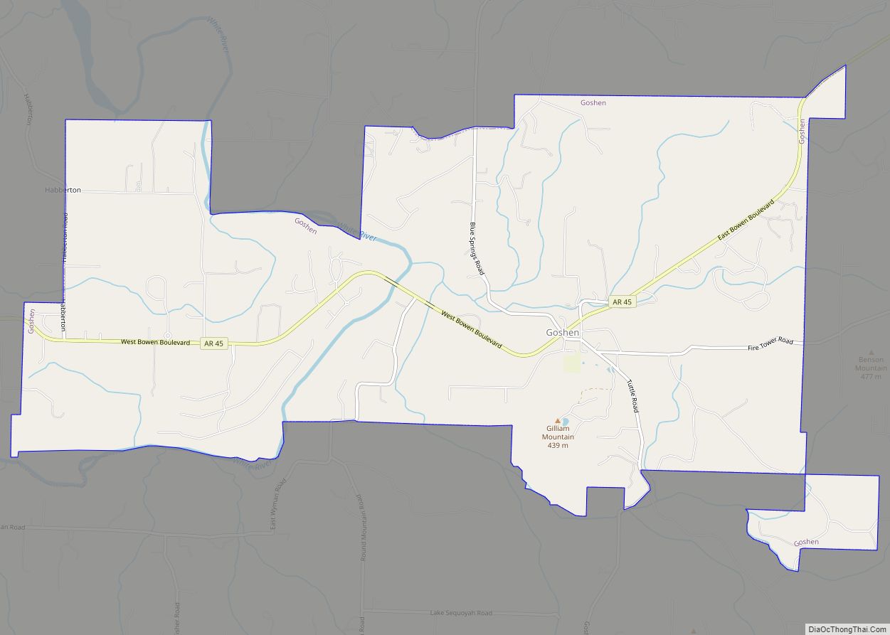
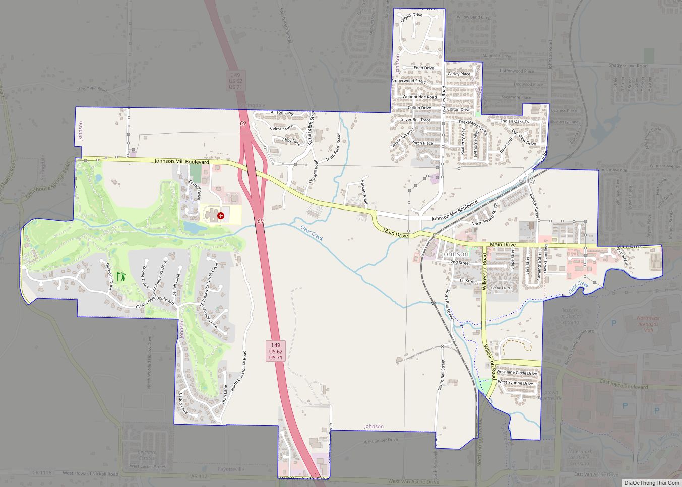
- Johnson
- Lafayette
- Lawrence
- Lee
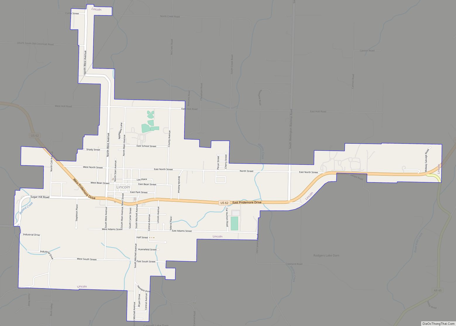
- Lincoln
- Little River
- Logan
- Lonoke
- Madison
- Marion
- Miller
- Mississippi
- Monroe
- Montgomery
- Nevada
- Newton
- Ouachita
- Perry
- Phillips
- Pike
- Poinsett
- Polk
- Pope
- Prairie
- Pulaski
- Randolph
- Saint Francis
- Saline
- Scott
- Searcy
- Sebastian
- Sevier
- Sharp
- Stone
- Union
- Van Buren
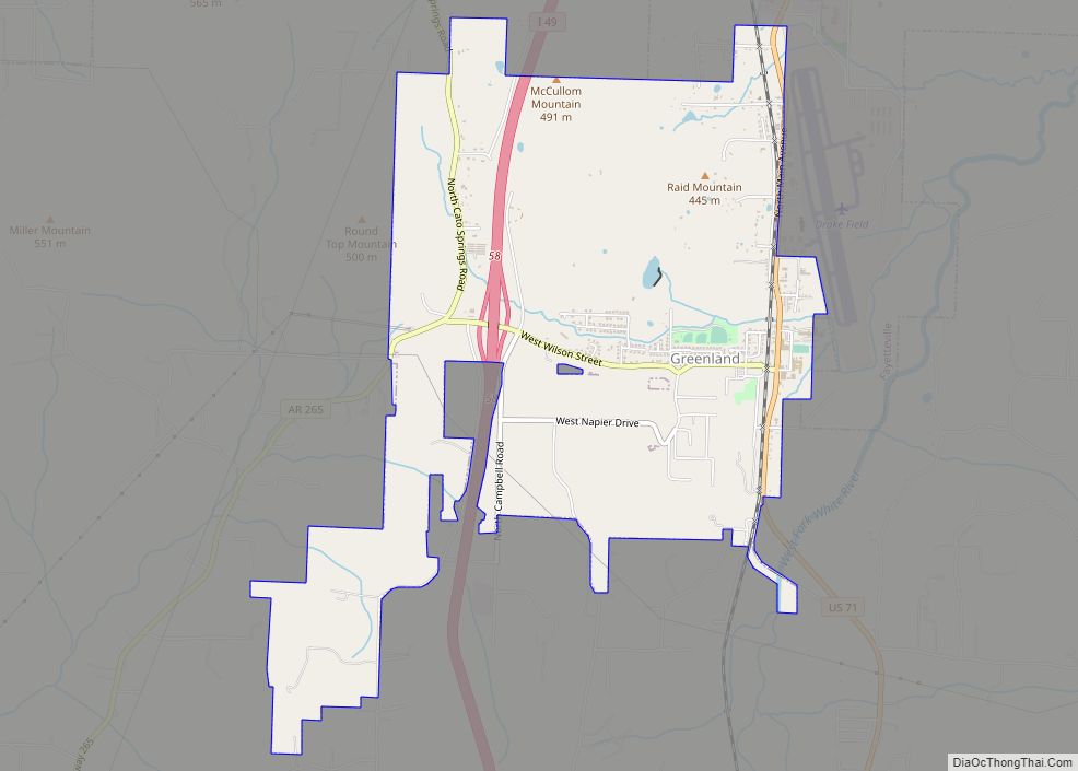
- Washington
- White
- Woodruff
- Yell
- Alabama
- Alaska
- Arizona
- Arkansas
- California
- Colorado
- Connecticut
- Delaware
- District of Columbia
- Florida
- Georgia
- Hawaii
- Idaho
- Illinois
- Indiana
- Iowa
- Kansas
- Kentucky
- Louisiana
- Maine
- Maryland
- Massachusetts
- Michigan
- Minnesota
- Mississippi
- Missouri
- Montana
- Nebraska
- Nevada
- New Hampshire
- New Jersey
- New Mexico
- New York
- North Carolina
- North Dakota
- Ohio
- Oklahoma
- Oregon
- Pennsylvania
- Rhode Island
- South Carolina
- South Dakota
- Tennessee
- Texas
- Utah
- Vermont
- Virginia
- Washington
- West Virginia
- Wisconsin
- Wyoming