Agua Dulce (pronunciation) (Spanish for “Sweet Water”) is a census-designated place in Los Angeles County, California, United States. It lies at an elevation of 2,526 feet (770 m), northeast of Santa Clarita. The community had a population of 3,342 at the 2010 census and covers a geographic area of about 23 square miles (59 km). Agua Dulce is on the Pacific Crest Trail. The ZIP code is 91390 (shared with Green Valley and far northern Santa Clarita), and the area code is 661.
| Name: | Agua Dulce CDP |
|---|---|
| LSAD Code: | 57 |
| LSAD Description: | CDP (suffix) |
| State: | California |
| County: | Los Angeles County |
| Elevation: | 2,526 ft (770 m) |
| Total Area: | 22.86 sq mi (59.20 km²) |
| Land Area: | 22.85 sq mi (59.18 km²) |
| Water Area: | 0.01 sq mi (0.01 km²) 0.02% |
| Total Population: | 3,451 |
| Population Density: | 151.03/sq mi (58.31/km²) |
| ZIP code: | 91390 |
| Area code: | 661 |
| FIPS code: | 0600450 |
Online Interactive Map
Click on ![]() to view map in "full screen" mode.
to view map in "full screen" mode.
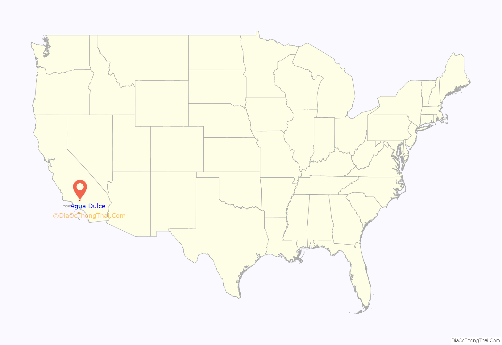
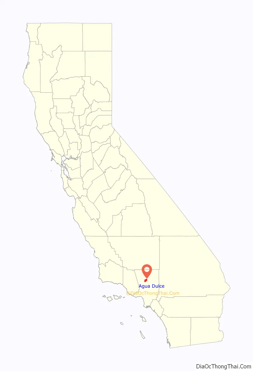
Agua Dulce location map. Where is Agua Dulce CDP?
History
On June 1, 2021, a shooting occurred at Los Angeles County Fire Department Station 81 in Agua Dulce. Firefighter Jonathan Tatone shot and killed a fellow firefighter and wounded a fire captain.
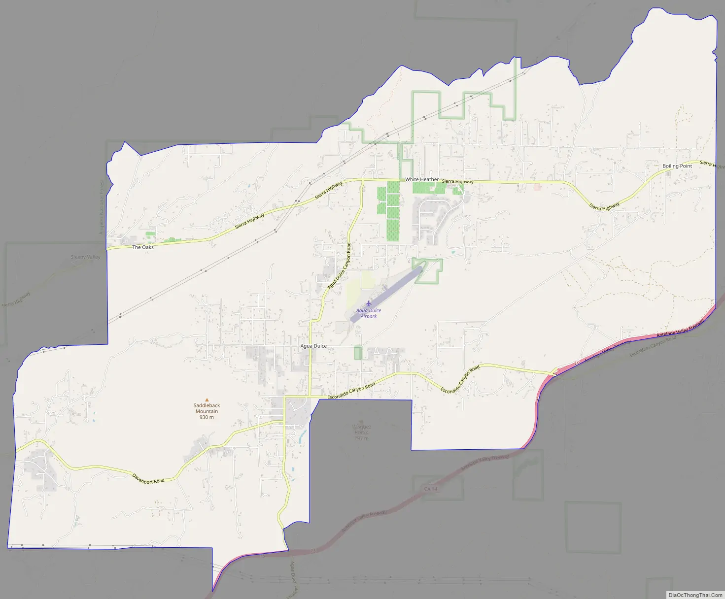
Agua Dulce Road Map
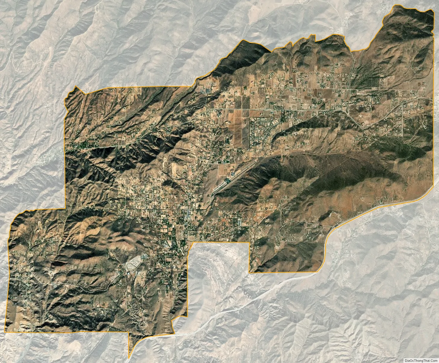
Agua Dulce city Satellite Map
Geography
Agua Dulce is located along California State Route 14, halfway between Santa Clarita and Palmdale, and 45 miles (72 km) north of Los Angeles, in the Sierra Pelona Valley region of Southern California. Vasquez Rocks is located in Agua Dulce. The Pacific Crest Trail, which runs from Mexico to Canada, goes through Agua Dulce.
See also
Map of California State and its subdivision:- Alameda
- Alpine
- Amador
- Butte
- Calaveras
- Colusa
- Contra Costa
- Del Norte
- El Dorado
- Fresno
- Glenn
- Humboldt
- Imperial
- Inyo
- Kern
- Kings
- Lake
- Lassen
- Los Angeles
- Madera
- Marin
- Mariposa
- Mendocino
- Merced
- Modoc
- Mono
- Monterey
- Napa
- Nevada
- Orange
- Placer
- Plumas
- Riverside
- Sacramento
- San Benito
- San Bernardino
- San Diego
- San Francisco
- San Joaquin
- San Luis Obispo
- San Mateo
- Santa Barbara
- Santa Clara
- Santa Cruz
- Shasta
- Sierra
- Siskiyou
- Solano
- Sonoma
- Stanislaus
- Sutter
- Tehama
- Trinity
- Tulare
- Tuolumne
- Ventura
- Yolo
- Yuba
- Alabama
- Alaska
- Arizona
- Arkansas
- California
- Colorado
- Connecticut
- Delaware
- District of Columbia
- Florida
- Georgia
- Hawaii
- Idaho
- Illinois
- Indiana
- Iowa
- Kansas
- Kentucky
- Louisiana
- Maine
- Maryland
- Massachusetts
- Michigan
- Minnesota
- Mississippi
- Missouri
- Montana
- Nebraska
- Nevada
- New Hampshire
- New Jersey
- New Mexico
- New York
- North Carolina
- North Dakota
- Ohio
- Oklahoma
- Oregon
- Pennsylvania
- Rhode Island
- South Carolina
- South Dakota
- Tennessee
- Texas
- Utah
- Vermont
- Virginia
- Washington
- West Virginia
- Wisconsin
- Wyoming


