Altadena (pronunciation) (“Alta”, Spanish for “Upper”, and “dena” from Pasadena) is an unincorporated area and census-designated place in the Verdugo Mountains region of Los Angeles County, California, approximately 14 miles (23 km) from the downtown Los Angeles Civic Center, and directly north of the city of Pasadena, California. The population was 42,777 at the 2010 census, up from 42,610 at the 2000 census.
| Name: | Altadena CDP |
|---|---|
| LSAD Code: | 57 |
| LSAD Description: | CDP (suffix) |
| State: | California |
| County: | Los Angeles County |
| Elevation: | 1,358 ft (414 m) |
| Total Area: | 8.48 sq mi (21.97 km²) |
| Land Area: | 8.46 sq mi (21.92 km²) |
| Water Area: | 0.02 sq mi (0.04 km²) 0.19% |
| Total Population: | 42,846 |
| Population Density: | 5,061.55/sq mi (1,954.26/km²) |
| Area code: | 626 |
| FIPS code: | 0601290 |
Online Interactive Map
Click on ![]() to view map in "full screen" mode.
to view map in "full screen" mode.
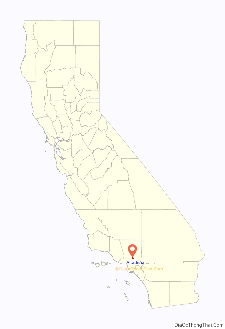
Altadena location map. Where is Altadena CDP?

History
In the mid-1860s, Benjamin S. Eaton first developed water sources from the Arroyo Seco and Eaton Canyon to irrigate his vineyard near the edge of Eaton Canyon. This made possible the development of Altadena, Pasadena, and South Pasadena. He did the construction for B. D. Wilson and Dr. John Griffin, who jointly owned the Mexican land grant of Rancho San Pascual, about 14,000 acres (5,700 ha), that would be the future sites of these three communities. They hoped to develop and sell this land in a real estate plan called the San Pasqual Plantation. Their efforts failed by 1870, despite Eaton’s irrigation ditch that drew water from the site of present-day Jet Propulsion Laboratory (JPL) in the Arroyo Seco, because the land was relatively inaccessible and few believed crops could thrive that close to the mountains.
Eaton tried to sell the land for the partners, and in late 1873 he helped broker a deal with Daniel Berry, who represented a group of investors from Indiana, to buy 4,000 acres (1,600 ha) of the rancho. This included the land of present-day Altadena, but they developed a 2,500 acres (1,000 ha) section further south as Pasadena. In 1881, the land that would later become Altadena was sold to John and Fred Woodbury, brothers who launched the subdivision of Altadena in 1887. The land remained primarily agricultural, though several eastern millionaires built mansions along Mariposa Street, and a small community developed through the 1890s and into the next century.
In 1880, Capt. Frederick Woodbury, and his brother, John Woodbury of Marshalltown, Iowa, purchased 937 acres (379 ha) known as the Woodbury Ranch. John Woodbury established the Pasadena Improvement Company in 1887, with a plot plan of residential development referred to as the Woodbury Subdivision. They contacted Byron O. Clark, who established a nursery in the foothills in 1875, and had since moved away. He called his nursery “Altadena Nursery”, a name he coined from the Spanish “alta” meaning “upper”, and “dena” from Pasadena. Woodbury asked if he could use the name “Altadena” for his subdivision and Clark agreed.
The newly sprouted community of Altadena immediately began to attract millionaires from the East. In 1887 Andrew McNally, the printing magnate from Chicago, and his friend, George Gill Green, had built mansions on what was to become Millionaire’s Row; Mariposa Street near Santa Rosa Avenue. Newspaper moguls William Armiger Scripps and William Kellogg built homes side by side just east of Fair Oaks Avenue. A bit farther east, Zane Grey bought a home from Arthur Herbert Woodward, and added a second-floor study. The famous Benziger Publishing Company built a mansion on the corner of Santa Rosa Avenue (Christmas Tree Lane) and Mariposa. Mariposa was taken from the Spanish name for a butterfly. The grandson of Andrew McNally, Wallace Neff, became a famous Southern California architect. He started his career in Altadena with the design and construction of St. Elizabeth of Hungary Catholic Church (parish est. 1918), which was dedicated in October 1926.
Redlining policies prevented African Americans from acquiring land or purchasing property in much of California. One of the areas exempt from these policies was Altadena Meadows, which thrived and became one of first middle-class African American neighborhoods in the area.
Over the years, Altadena has been subject to attempted annexation by Pasadena. Annexation was stopped in 1956 by community campaigns, though it has been resurrected several times since by Pasadena without success. Had the annexation succeeded, Pasadena would be the 108th largest city in the United States.
While Altadena long refused wholesale annexation by neighboring Pasadena, the larger community nibbled at its edges in several small annexations of neighborhoods through the 1940s. With early-1960s redevelopment in Pasadena, the routing of extensions of the 134 and 210 freeways, and lawsuits over the desegregation of Pasadena Unified School District, there was white flight and convulsive racial change in Altadena. In 1960, its black population was under four percent; over the next 15 years, half the White population left, and was replaced by people of color, many of whom settled on the west side of town after being displaced by Pasadena’s redevelopment and freeway projects.
In 1993, the Kinneloa Fire, begun accidentally on the slopes above Eaton Canyon, burned dozens of homes in Altadena and neighboring Kinneloa Mesa as part of a rash of late October wildfires driven by Santa Ana winds in Southern California. One man died of complications from smoke inhalation and dozens were injured.
In 2022, Altadena gained local coverage in Los Angeles as the place of the first land return to the Tongva since the arrival of Europeans in the Los Angeles Basin area, after a resident donated her 1 acre property to the Tongva Taraxat Paxaavxa Conservancy. It was described as marking the first time in nearly 200 years that the Tongva have had land in Los Angeles County.
Altadena gained national media coverage, as it was the location where a single lottery ticket was sold to Edwin Castro, which would win a world record $2.04 billion USD Powerball jackpot.
Altadena Road Map

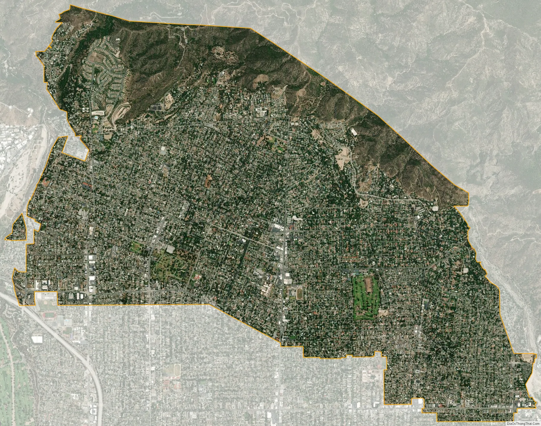
Altadena city Satellite Map
Geography
According to the United States Census Bureau, the CDP has a total area of 8.7 square miles (23 km), over 99% of it land.
Climate
Altadena experiences hot and dry summers that are followed by warm and windy falls and mild winters. According to the Köppen climate classification system, Altadena has a hot-summer Mediterranean climate, abbreviated Csa on climate maps.
The wettest calendar year was 1983, with 48.47 inches (1,231.1 mm), and the driest was 1947, with 5.37 inches (136.4 mm). The most rainfall in one month was 19.70 inches (500.4 mm), in February 1980. The most rainfall in 24 hours was 7.70 inches (195.6 mm), on March 2, 1938. Altadena averages 21.09 inches (535.7 mm) of rain a year, over 6 inches (150 mm) more than nearby Los Angeles due to the orographic effect created by the San Gabriel Mountains. Because of the slope on which the city is built, sewer lines in the city’s northern section have been known to overflow significantly.
See also
Map of California State and its subdivision:- Alameda
- Alpine
- Amador
- Butte
- Calaveras
- Colusa
- Contra Costa
- Del Norte
- El Dorado
- Fresno
- Glenn
- Humboldt
- Imperial
- Inyo
- Kern
- Kings
- Lake
- Lassen
- Los Angeles
- Madera
- Marin
- Mariposa
- Mendocino
- Merced
- Modoc
- Mono
- Monterey
- Napa
- Nevada
- Orange
- Placer
- Plumas
- Riverside
- Sacramento
- San Benito
- San Bernardino
- San Diego
- San Francisco
- San Joaquin
- San Luis Obispo
- San Mateo
- Santa Barbara
- Santa Clara
- Santa Cruz
- Shasta
- Sierra
- Siskiyou
- Solano
- Sonoma
- Stanislaus
- Sutter
- Tehama
- Trinity
- Tulare
- Tuolumne
- Ventura
- Yolo
- Yuba
- Alabama
- Alaska
- Arizona
- Arkansas
- California
- Colorado
- Connecticut
- Delaware
- District of Columbia
- Florida
- Georgia
- Hawaii
- Idaho
- Illinois
- Indiana
- Iowa
- Kansas
- Kentucky
- Louisiana
- Maine
- Maryland
- Massachusetts
- Michigan
- Minnesota
- Mississippi
- Missouri
- Montana
- Nebraska
- Nevada
- New Hampshire
- New Jersey
- New Mexico
- New York
- North Carolina
- North Dakota
- Ohio
- Oklahoma
- Oregon
- Pennsylvania
- Rhode Island
- South Carolina
- South Dakota
- Tennessee
- Texas
- Utah
- Vermont
- Virginia
- Washington
- West Virginia
- Wisconsin
- Wyoming


