Artesia (Spanish for “artesian aquifer”) is a city in southeast Los Angeles County, California. Artesia was incorporated on May 29, 1959, and is one of Los Angeles County’s Gateway Cities. The city has a 2010 census population of 16,522. Artesia is surrounded on the west, south, and east sides by Cerritos, with Norwalk to the north. Artesia is the home of the East West Ice Palace, an ice rink which is co-owned by Michelle Kwan. It was also the childhood home of former First Lady Pat Nixon, who lived there from 1914 to 1931, though the property on which she grew up is now part of neighboring Cerritos.
| Name: | Artesia city |
|---|---|
| LSAD Code: | 25 |
| LSAD Description: | city (suffix) |
| State: | California |
| County: | Los Angeles County |
| Incorporated: | May 29, 1959 |
| Elevation: | 52 ft (16 m) |
| Total Area: | 1.62 sq mi (4.20 km²) |
| Land Area: | 1.62 sq mi (4.20 km²) |
| Water Area: | 0.00 sq mi (0.00 km²) 0% |
| Total Population: | 16,395 |
| Population Density: | 10,120.37/sq mi (3,906.37/km²) |
| ZIP code: | 90701 |
| Area code: | 562 |
| FIPS code: | 0602896 |
| Website: | www.cityofartesia.us |
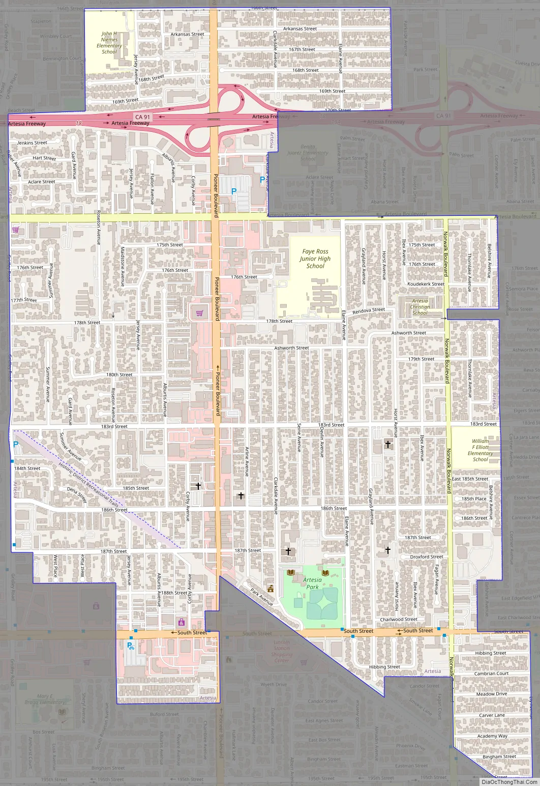
Online Interactive Map
Click on ![]() to view map in "full screen" mode.
to view map in "full screen" mode.
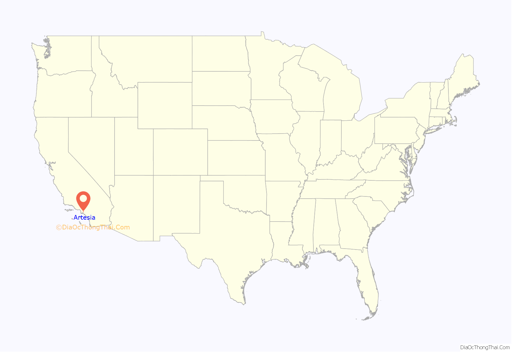
Artesia location map. Where is Artesia city?
History
The village of Artesia was established upon the completion of the Artesia School District on May 3, 1875. It was named for the many flowing artesian wells in the area, which made the village ideal for farming and agriculture.
In the 1920s and 1930s, Dutch and Portuguese farmers developed Artesia into one of the most important dairy districts in Southern California. After World War II, as with many other cities in the region, Artesia was pressured by developers to build residential tracts. The city of Dairy Valley was incorporated in 1956, and later became the city of Cerritos. As the demand for housing continued, dairymen moved their operations further east into Chino and north into the Central Valley. Artesia finally incorporated on May 29, 1959.
Before Artesia was incorporated, some rural areas, like Hawaiian Gardens, were considered part of Artesia for mapping and postage purposes.
In 1993, the Artesia Historical Society was formed, with the mission of preserving and protecting the archives and historic sites of the city. In 2002, the Historical Society salvaged and restored one of the last remaining Spanish-styled homes in the city into a historical civic museum open to the public.
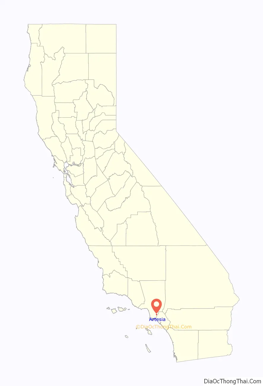
Artesia Road Map
Artesia city Satellite Map

Geography
Artesia is located at 33°52′2″N 118°4′50″W / 33.86722°N 118.08056°W / 33.86722; -118.08056 (33.867215, -118.080622).
According to the United States Census Bureau, the city has a total area of 1.6 square miles (4.1 km), all land.
See also
Map of California State and its subdivision:- Alameda
- Alpine
- Amador
- Butte
- Calaveras
- Colusa
- Contra Costa
- Del Norte
- El Dorado
- Fresno
- Glenn
- Humboldt
- Imperial
- Inyo
- Kern
- Kings
- Lake
- Lassen
- Los Angeles
- Madera
- Marin
- Mariposa
- Mendocino
- Merced
- Modoc
- Mono
- Monterey
- Napa
- Nevada
- Orange
- Placer
- Plumas
- Riverside
- Sacramento
- San Benito
- San Bernardino
- San Diego
- San Francisco
- San Joaquin
- San Luis Obispo
- San Mateo
- Santa Barbara
- Santa Clara
- Santa Cruz
- Shasta
- Sierra
- Siskiyou
- Solano
- Sonoma
- Stanislaus
- Sutter
- Tehama
- Trinity
- Tulare
- Tuolumne
- Ventura
- Yolo
- Yuba
- Alabama
- Alaska
- Arizona
- Arkansas
- California
- Colorado
- Connecticut
- Delaware
- District of Columbia
- Florida
- Georgia
- Hawaii
- Idaho
- Illinois
- Indiana
- Iowa
- Kansas
- Kentucky
- Louisiana
- Maine
- Maryland
- Massachusetts
- Michigan
- Minnesota
- Mississippi
- Missouri
- Montana
- Nebraska
- Nevada
- New Hampshire
- New Jersey
- New Mexico
- New York
- North Carolina
- North Dakota
- Ohio
- Oklahoma
- Oregon
- Pennsylvania
- Rhode Island
- South Carolina
- South Dakota
- Tennessee
- Texas
- Utah
- Vermont
- Virginia
- Washington
- West Virginia
- Wisconsin
- Wyoming


