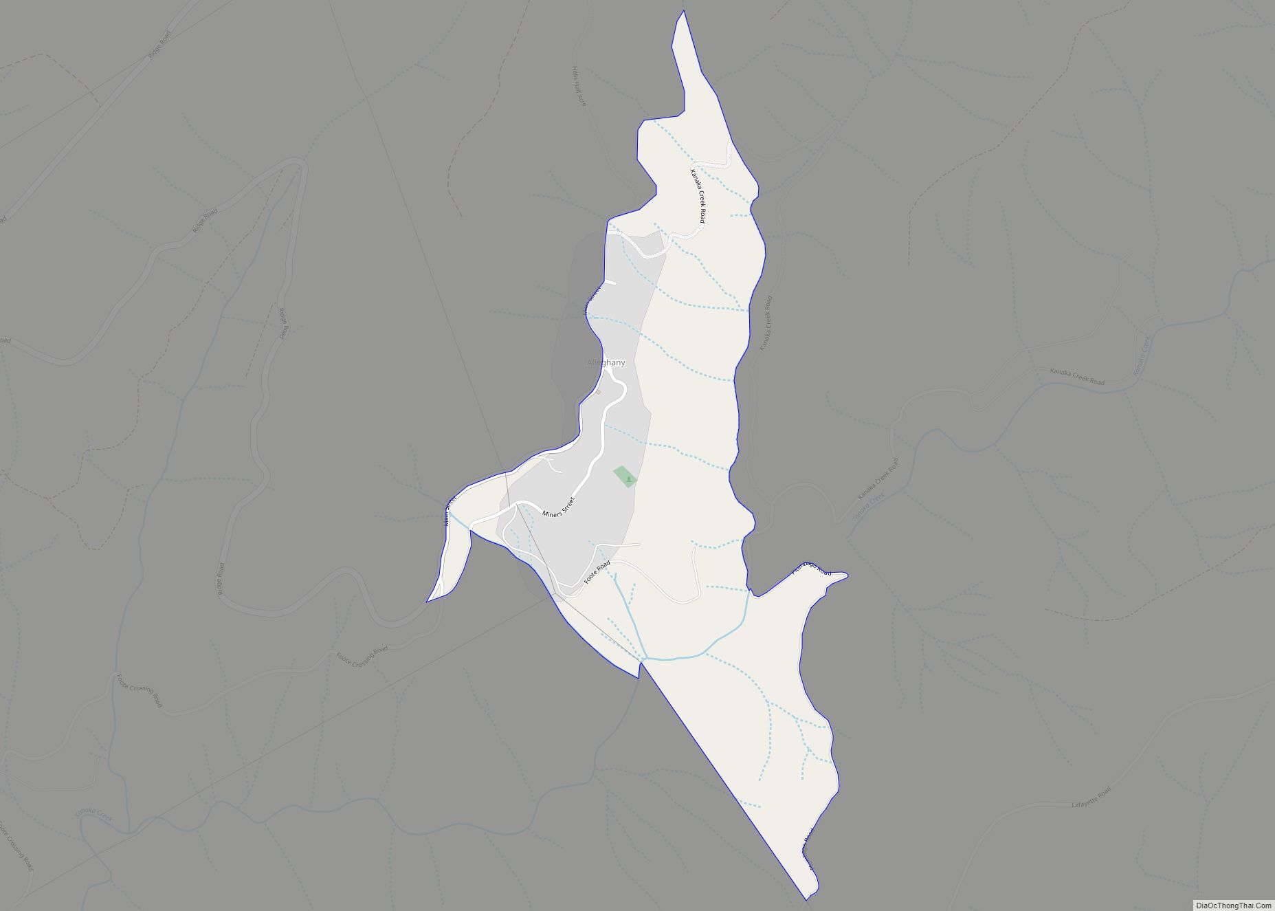
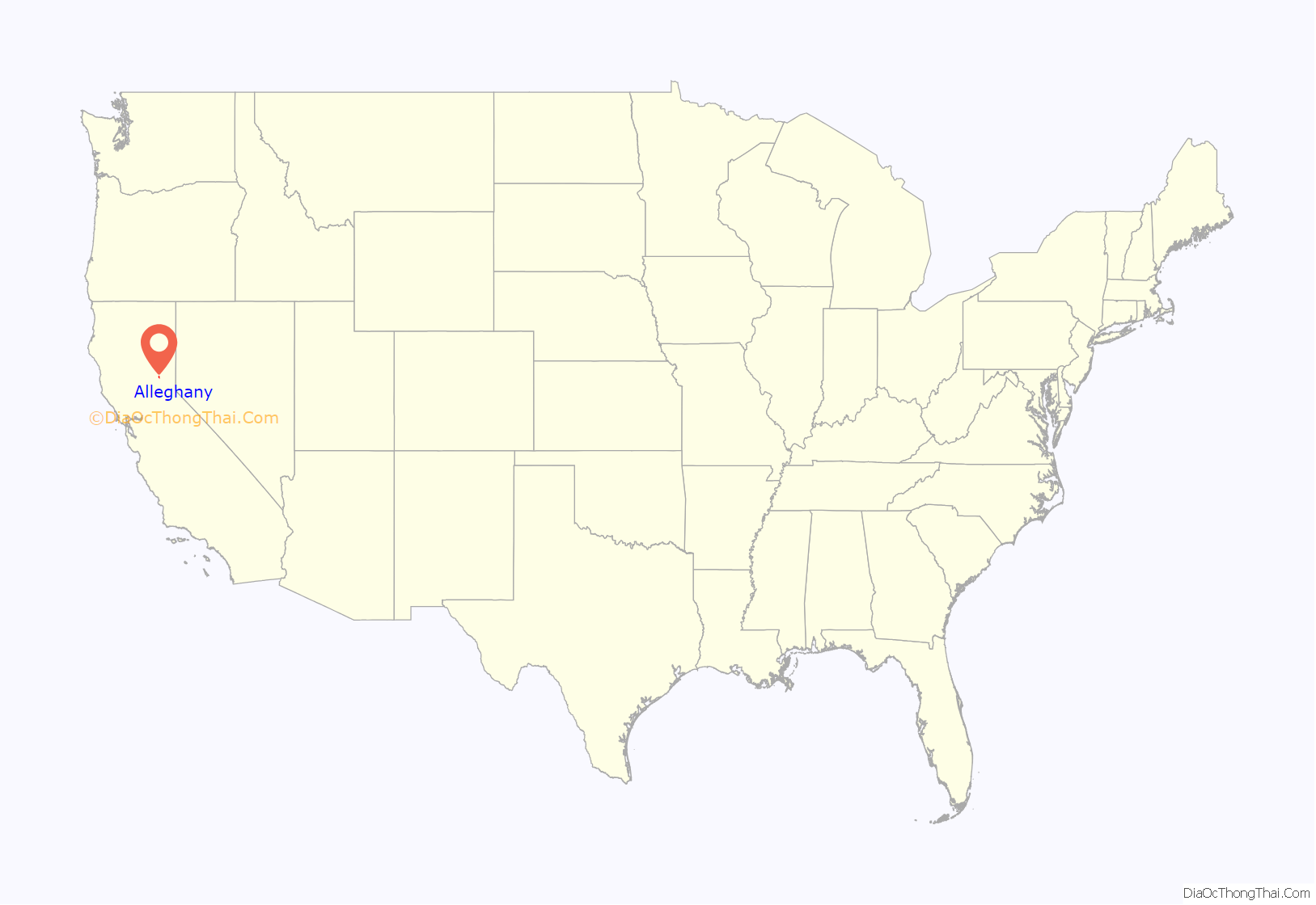
Alleghany is a small census-designated place in Sierra County, California, United States in the Sierra Nevada. It is situated in the Gold Country and continues to be a significant locale for gold mining. The Sixteen To One Mine has been in operation since the days of the California Gold Rush. The town is 20 miles (32 km) from the nearest highway (California State Route 49) and consists largely of a single main street. The town is home to a post office, a bar (Casey’s Place), and a mining museum. The population was 58 at the 2010 census.
The community was named in 1859 for the Alleghany Tunnel mine that fueled the growth of the town when it struck gold four years earlier. The mine itself was named for the Allegheny River.
| Name: | Alleghany CDP |
|---|---|
| LSAD Code: | 57 |
| LSAD Description: | CDP (suffix) |
| State: | California |
| County: | Sierra County |
| Elevation: | 4,229 ft (1,289 m) |
| Total Area: | 0.35 sq mi (0.90 km²) |
| Land Area: | 0.35 sq mi (0.90 km²) |
| Water Area: | 0.00 sq mi (0.00 km²) 0% |
| Total Population: | 30 |
| Population Density: | 85.96/sq mi (33.17/km²) |
| FIPS code: | 0600982 |
| GNISfeature ID: | 2582931 |
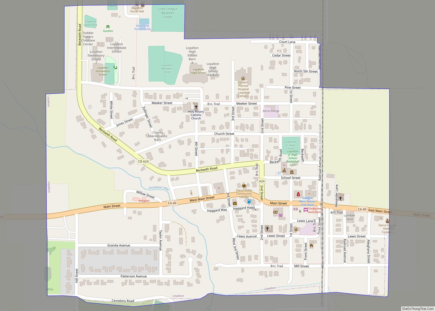
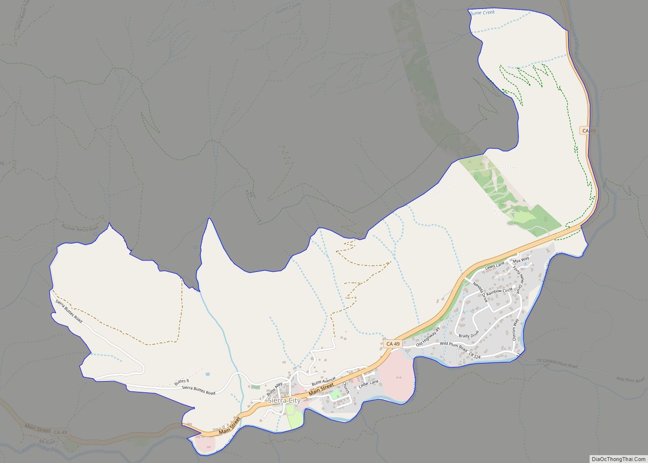
Online Interactive Map
Click on ![]() to view map in "full screen" mode.
to view map in "full screen" mode.
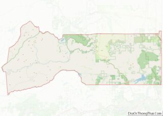
Alleghany location map. Where is Alleghany CDP?
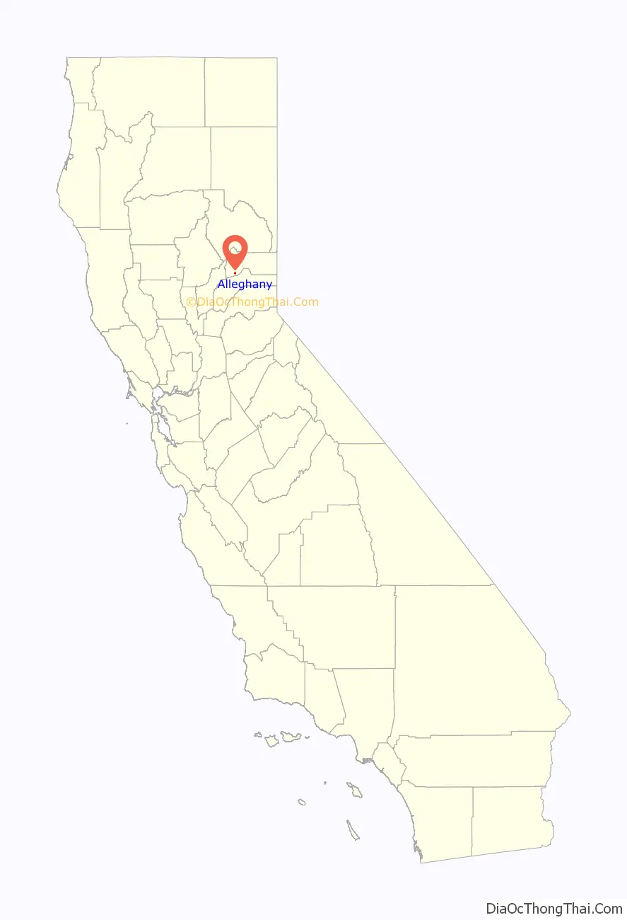
Alleghany Road Map
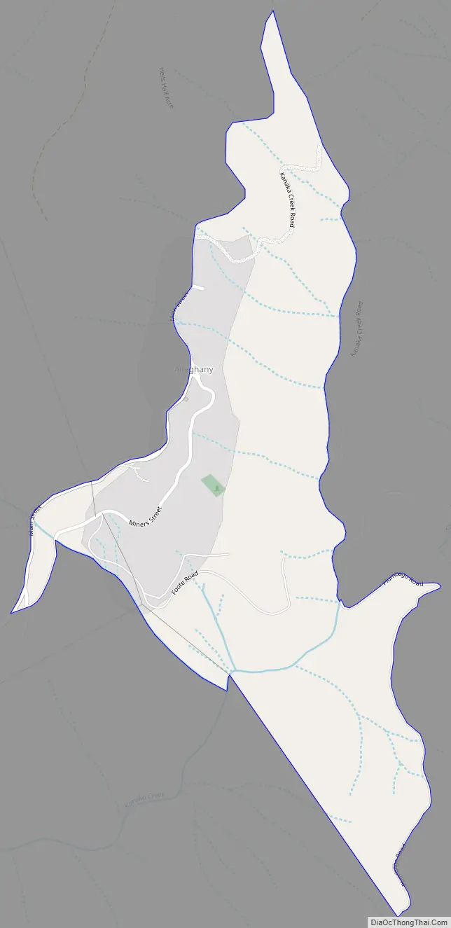
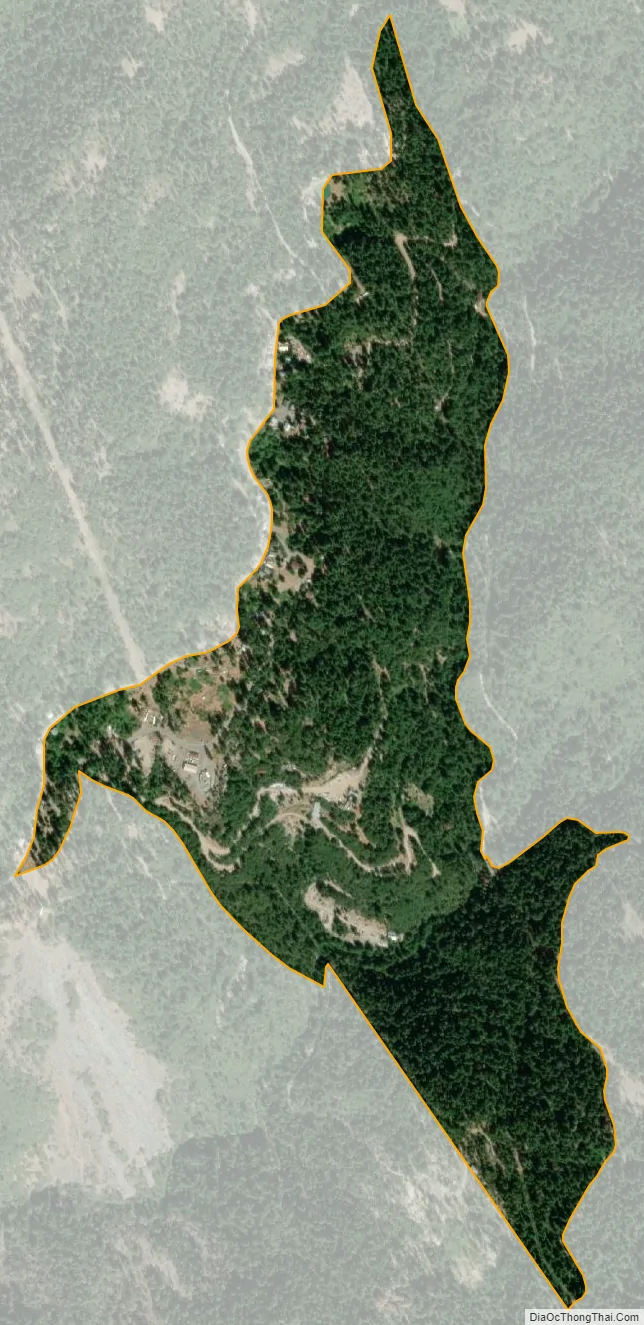
Alleghany city Satellite Map
Geography
According to the United States Census Bureau, the CDP covers an area of 0.3 square miles (0.9 km), all of it land.
See also
Map of California State and its subdivision:- Alameda
- Alpine
- Amador
- Butte
- Calaveras
- Colusa
- Contra Costa
- Del Norte
- El Dorado
- Fresno
- Glenn
- Humboldt
- Imperial
- Inyo
- Kern
- Kings
- Lake
- Lassen
- Los Angeles
- Madera
- Marin
- Mariposa
- Mendocino
- Merced
- Modoc
- Mono
- Monterey
- Napa
- Nevada
- Orange
- Placer
- Plumas
- Riverside
- Sacramento
- San Benito
- San Bernardino
- San Diego
- San Francisco
- San Joaquin
- San Luis Obispo
- San Mateo
- Santa Barbara
- Santa Clara
- Santa Cruz
- Shasta
- Sierra
- Siskiyou
- Solano
- Sonoma
- Stanislaus
- Sutter
- Tehama
- Trinity
- Tulare
- Tuolumne
- Ventura
- Yolo
- Yuba
- Alabama
- Alaska
- Arizona
- Arkansas
- California
- Colorado
- Connecticut
- Delaware
- District of Columbia
- Florida
- Georgia
- Hawaii
- Idaho
- Illinois
- Indiana
- Iowa
- Kansas
- Kentucky
- Louisiana
- Maine
- Maryland
- Massachusetts
- Michigan
- Minnesota
- Mississippi
- Missouri
- Montana
- Nebraska
- Nevada
- New Hampshire
- New Jersey
- New Mexico
- New York
- North Carolina
- North Dakota
- Ohio
- Oklahoma
- Oregon
- Pennsylvania
- Rhode Island
- South Carolina
- South Dakota
- Tennessee
- Texas
- Utah
- Vermont
- Virginia
- Washington
- West Virginia
- Wisconsin
- Wyoming