Sierra City (Sierra, Spanish for “mountain range”) is a census-designated place in Sierra County, California, United States. The elevation of Sierra City is 4,147 feet (1,264 m), and the town is situated in the canyon of the North Yuba River on California State Route 49, twelve miles northeast of the county seat of Sierra County, Downieville. The population was 221 at the 2010 census.
| Name: | Sierra City CDP |
|---|---|
| LSAD Code: | 57 |
| LSAD Description: | CDP (suffix) |
| State: | California |
| County: | Sierra County |
| Elevation: | 4,147 ft (1,264 m) |
| Total Area: | 2.151 sq mi (5.571 km²) |
| Land Area: | 2.151 sq mi (5.570 km²) |
| Water Area: | 0.000 sq mi (0.001 km²) 0.01% |
| Total Population: | 221 |
| Population Density: | 100/sq mi (40/km²) |
| FIPS code: | 0671778 |
| GNISfeature ID: | 2583139 |
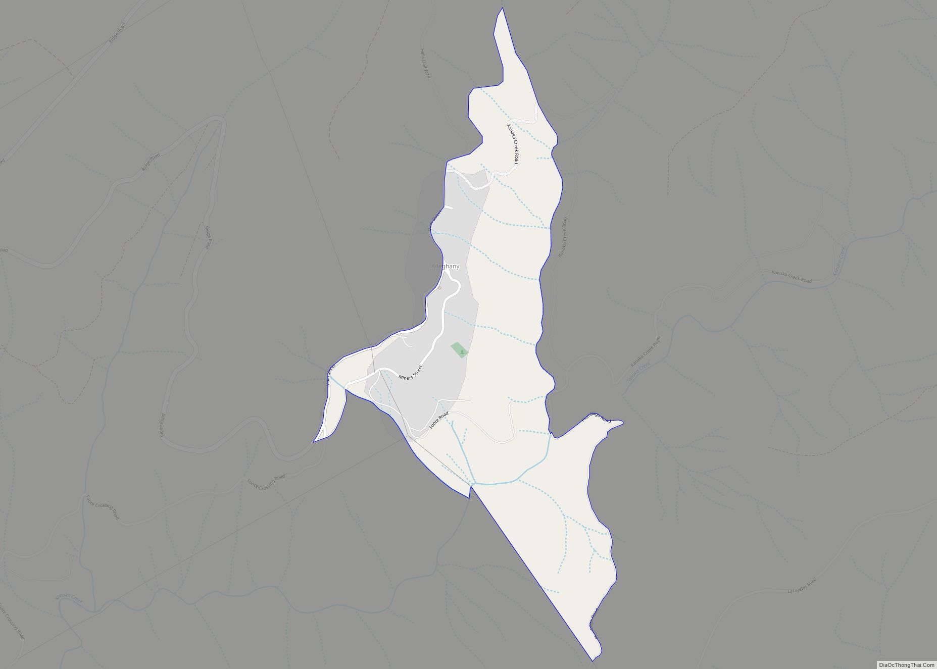
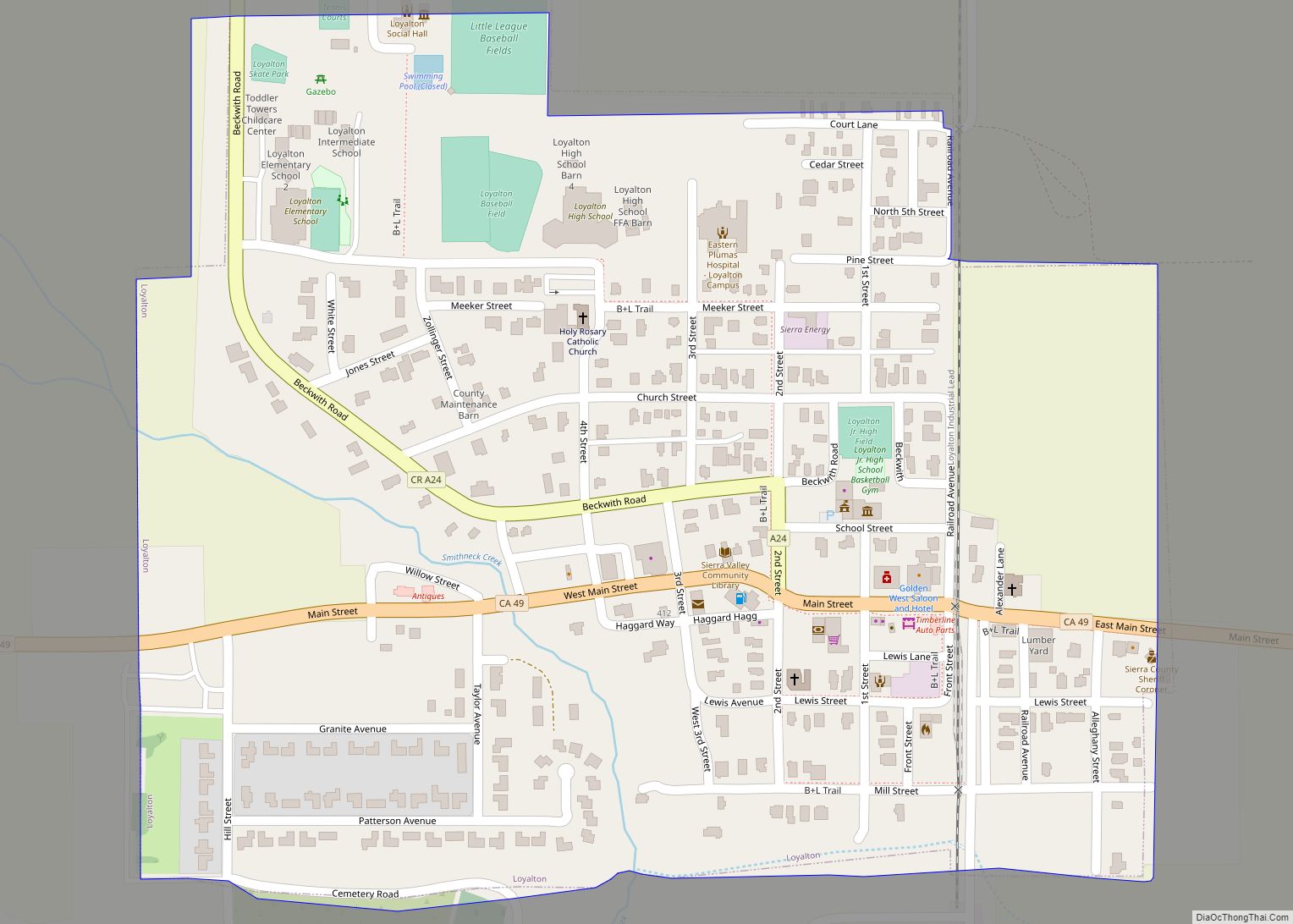
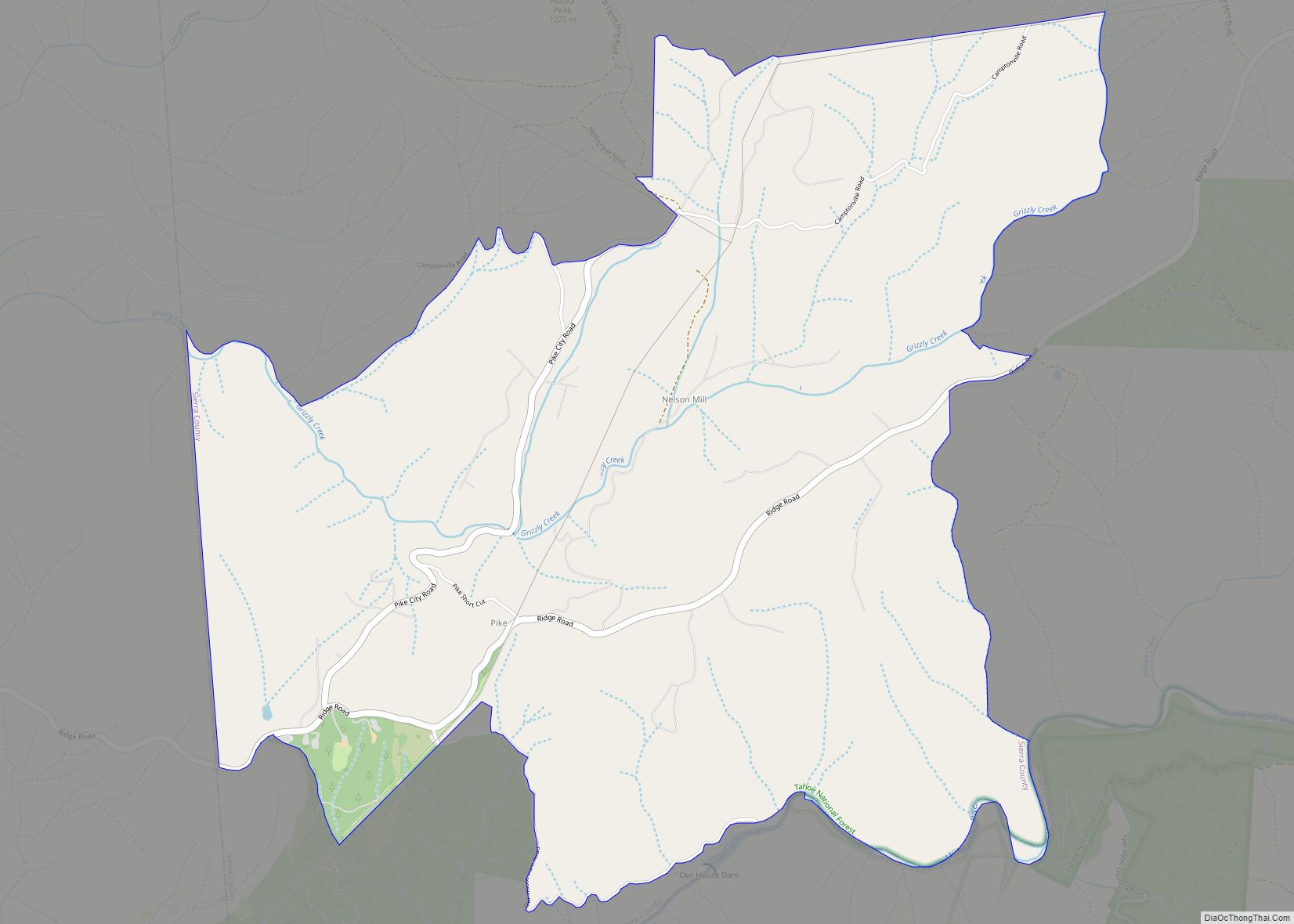
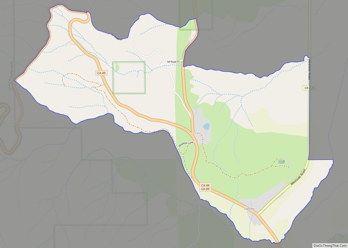
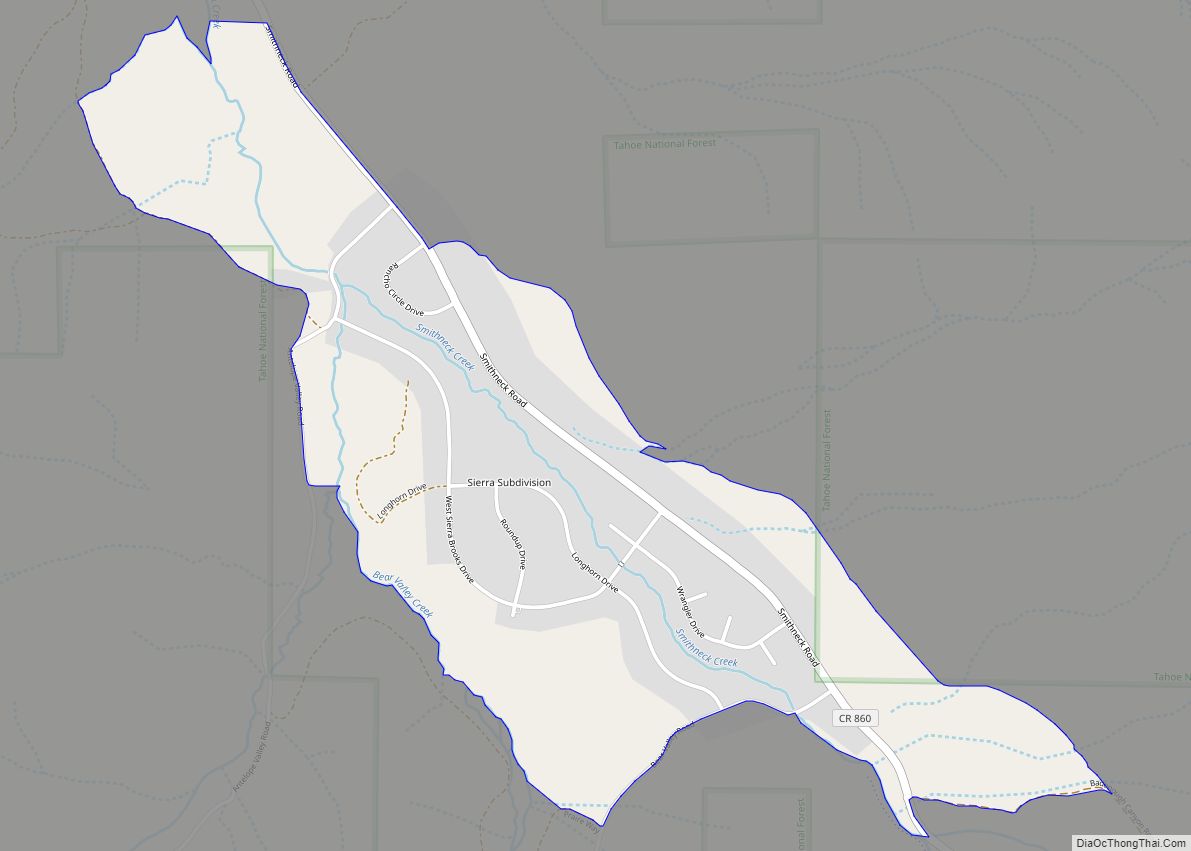
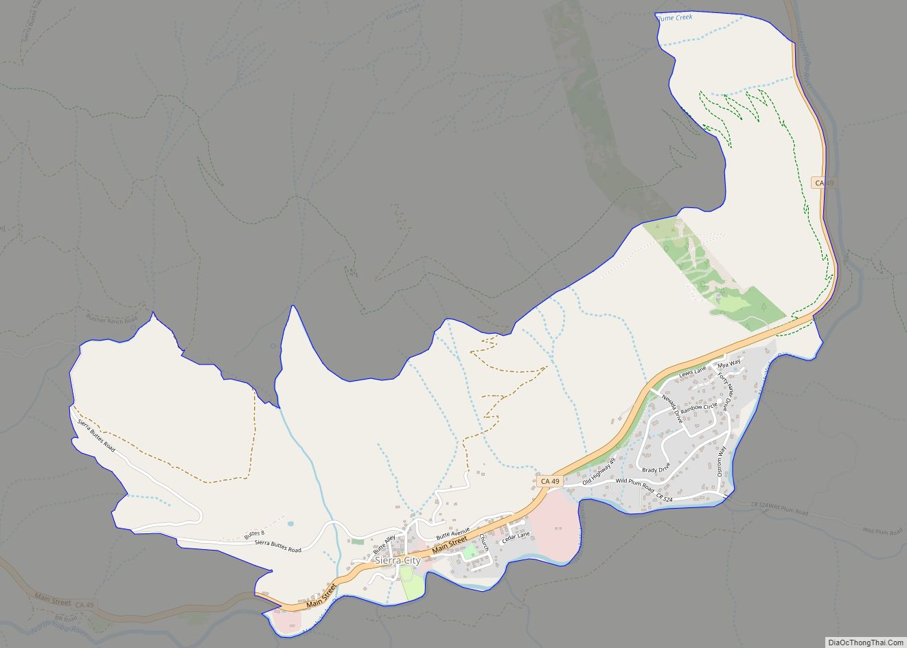
Online Interactive Map
Click on ![]() to view map in "full screen" mode.
to view map in "full screen" mode.
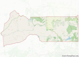
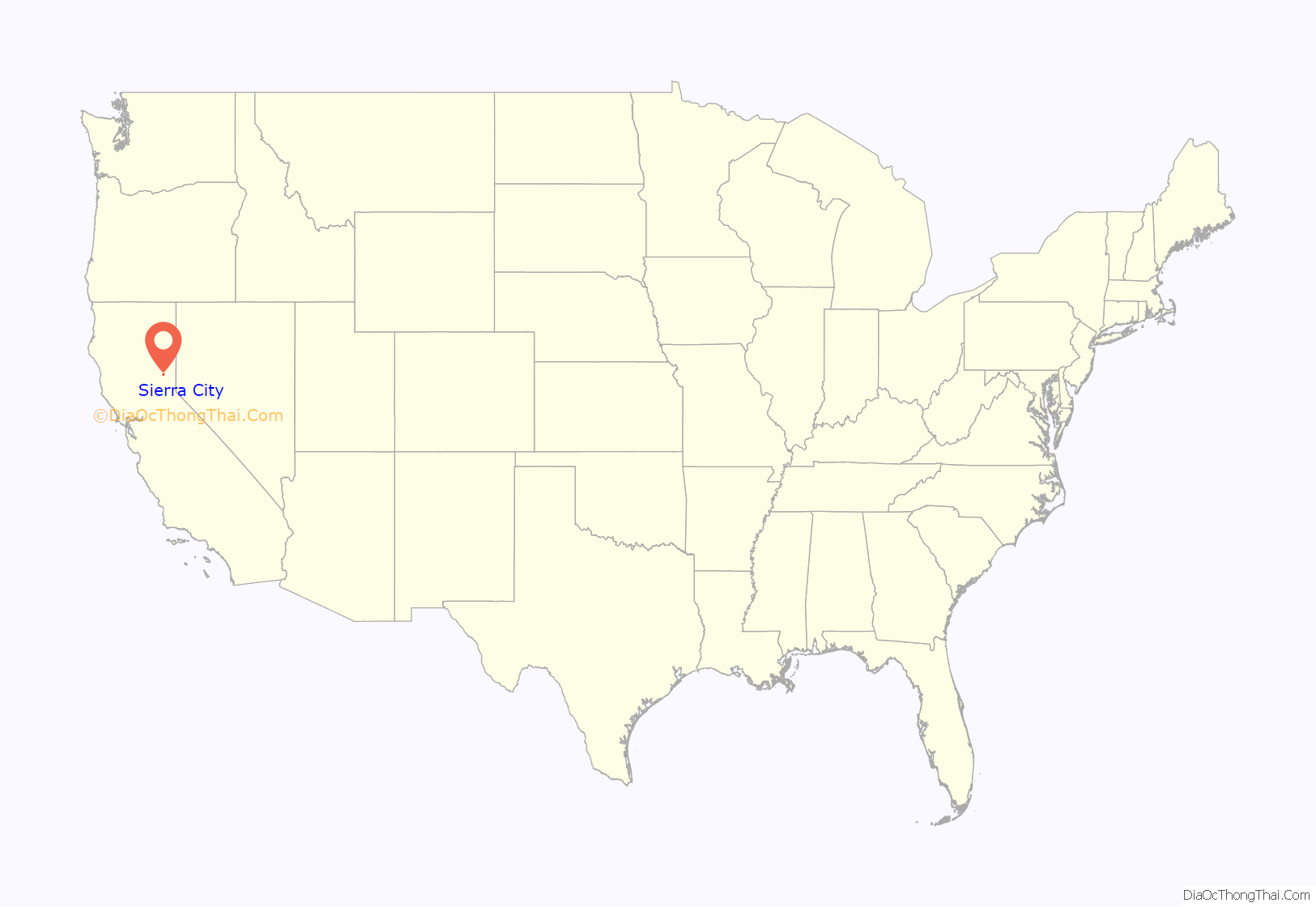
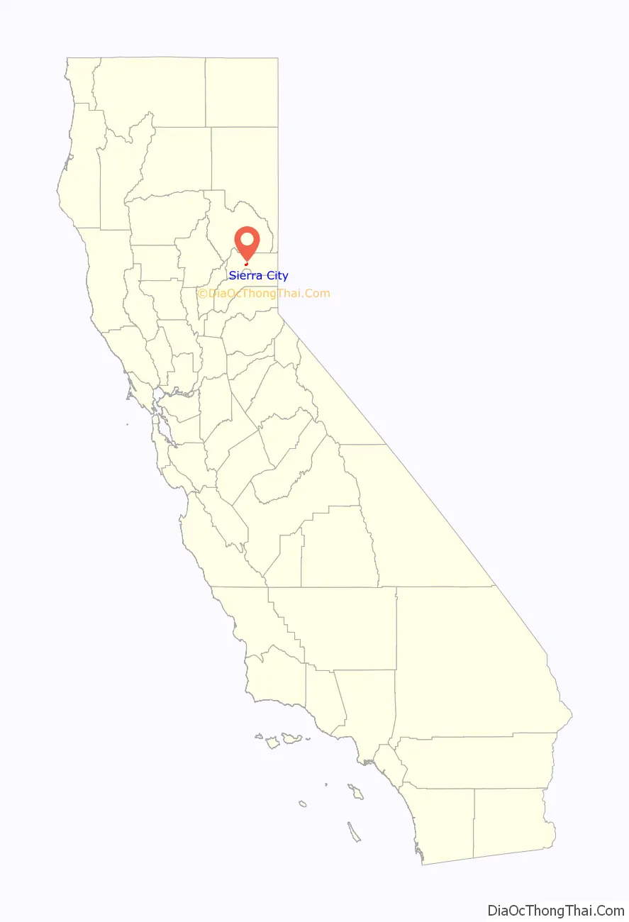
Sierra City location map. Where is Sierra City CDP?
History
Before the California Gold Rush, only Native Americans had ventured into the area, which lies northwest of Lake Tahoe on the western slope of the Sierra Nevada, and which lay between areas inhabited by Maidu, Nisenan, and Washo peoples (Pre-Contact Tribal Map). The area is now part of the Tahoe National Forest.
A settlement was established in 1850 by Philo A. Haven and Joseph Zumwalt, who were also involved with the settling of Downieville (Sinnott). In the Winter of 1852-53, however, an avalanche of snow destroyed the settlement, which was not rebuilt for several years. Ferdinand, Gustav, and Christian Reis purchased several mining claims near the Sierra Buttes and began to resettle Sierra City, which had a peak population of 3,000 during the decade after gold was discovered in California (1849).
Numerous hard-rock gold mines were developed on both sides of the North Yuba River Canyon near Sierra City. These include the Colombo Mine, the Independence Mine, the Keystone Mine, the Monumental Mine, the Great Sierra Buttes Mine, and the William Tell Mine. The Monumental Nugget, weighing over 106 pounds avoirdupois, was recovered in September 1869.
Placer mining was also practiced and continues today on the banks of the North Yuba. On February 10, 1963, Alec M. Ostrom of Sierra City discovered a nugget weighing 8 troy ounces while placer mining (Sinnott.)
Sierra City Road Map
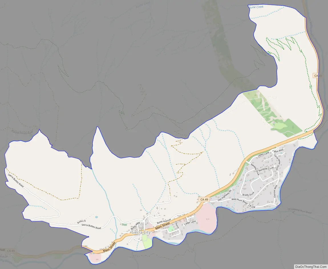
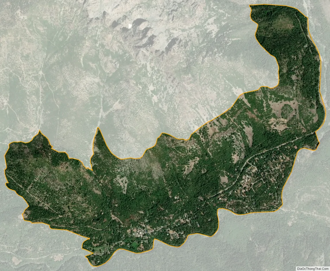
Sierra City city Satellite Map
Geography
According to the United States Census Bureau, the CDP covers an area of 2.2 square miles (5.6 km), 99.99% of it land and 0.01% of it water.
Sierra City has a mediterranean continental climate (Koppen: Dsb). Summers are hot and dry, while winters are mild, wet and very snowy, with annual snowfall averaging 107 inches (272 cm).
See also
Map of California State and its subdivision:- Alameda
- Alpine
- Amador
- Butte
- Calaveras
- Colusa
- Contra Costa
- Del Norte
- El Dorado
- Fresno
- Glenn
- Humboldt
- Imperial
- Inyo
- Kern
- Kings
- Lake
- Lassen
- Los Angeles
- Madera
- Marin
- Mariposa
- Mendocino
- Merced
- Modoc
- Mono
- Monterey
- Napa
- Nevada
- Orange
- Placer
- Plumas
- Riverside
- Sacramento
- San Benito
- San Bernardino
- San Diego
- San Francisco
- San Joaquin
- San Luis Obispo
- San Mateo
- Santa Barbara
- Santa Clara
- Santa Cruz
- Shasta
- Sierra
- Siskiyou
- Solano
- Sonoma
- Stanislaus
- Sutter
- Tehama
- Trinity
- Tulare
- Tuolumne
- Ventura
- Yolo
- Yuba
- Alabama
- Alaska
- Arizona
- Arkansas
- California
- Colorado
- Connecticut
- Delaware
- District of Columbia
- Florida
- Georgia
- Hawaii
- Idaho
- Illinois
- Indiana
- Iowa
- Kansas
- Kentucky
- Louisiana
- Maine
- Maryland
- Massachusetts
- Michigan
- Minnesota
- Mississippi
- Missouri
- Montana
- Nebraska
- Nevada
- New Hampshire
- New Jersey
- New Mexico
- New York
- North Carolina
- North Dakota
- Ohio
- Oklahoma
- Oregon
- Pennsylvania
- Rhode Island
- South Carolina
- South Dakota
- Tennessee
- Texas
- Utah
- Vermont
- Virginia
- Washington
- West Virginia
- Wisconsin
- Wyoming