Bear Valley Springs is a guarded-gate community in Kern County, California, United States. Bear Valley Springs is in the Tehachapi Mountains and is part of the greater Tehachapi area. The elevation ranges from 4,121 feet (1,256 m) to 6,934 feet (2,113 m) (Bear Mountain). The population fluctuates between a low during the winter months when snow is common, to a high in the summer months when its elevation keeps it much cooler than surrounding areas and major cities. The population was 5,172 at the 2010 census, up from 4,232 at the 2000 census. For statistical purposes, the United States Census Bureau has defined Bear Valley Springs as a census-designated place (CDP). The census definition of the area may not precisely correspond to local understanding of the area with the same name.
| Name: | Bear Valley Springs CDP |
|---|---|
| LSAD Code: | 57 |
| LSAD Description: | CDP (suffix) |
| State: | California |
| County: | Kern County |
| Elevation: | 4,121 ft (1,256 m) |
| Total Area: | 38.94 sq mi (100.86 km²) |
| Land Area: | 38.88 sq mi (100.69 km²) |
| Water Area: | 0.07 sq mi (0.17 km²) 0.16% |
| Total Population: | 5,592 |
| Population Density: | 143.85/sq mi (55.54/km²) |
| ZIP code: | 93561 |
| Area code: | 661 |
| FIPS code: | 0604734 |
| GNISfeature ID: | 1866997 |
Online Interactive Map
Click on ![]() to view map in "full screen" mode.
to view map in "full screen" mode.
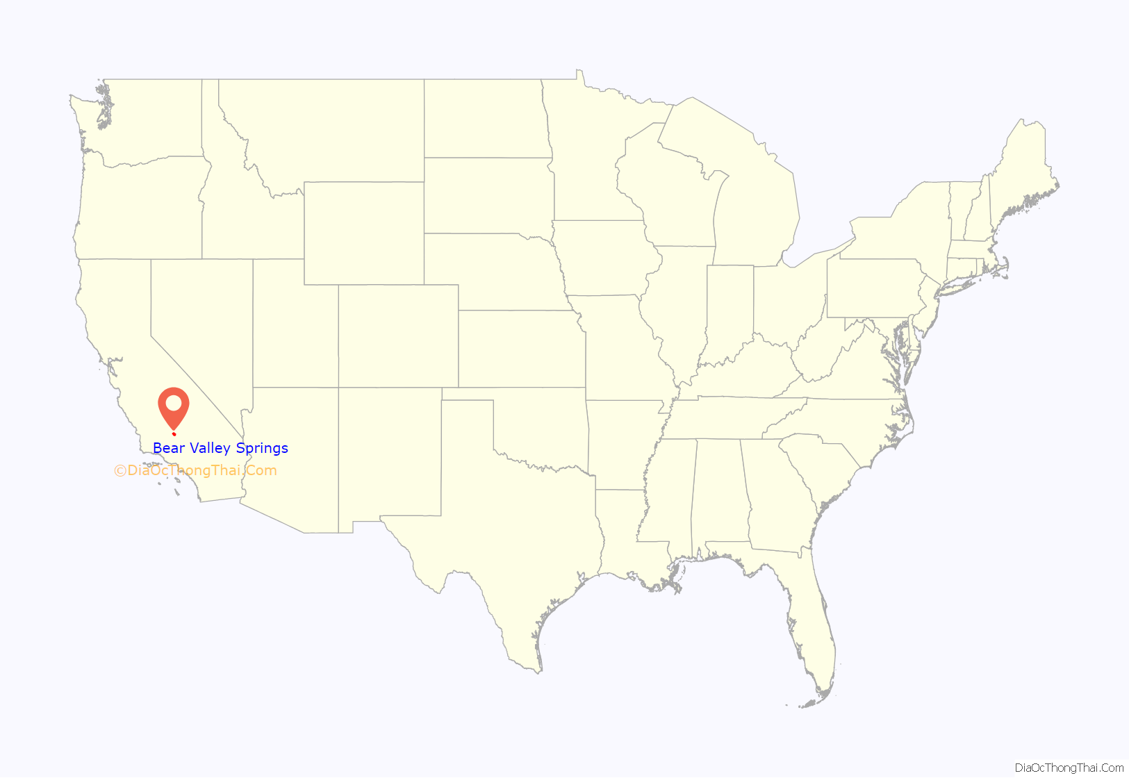
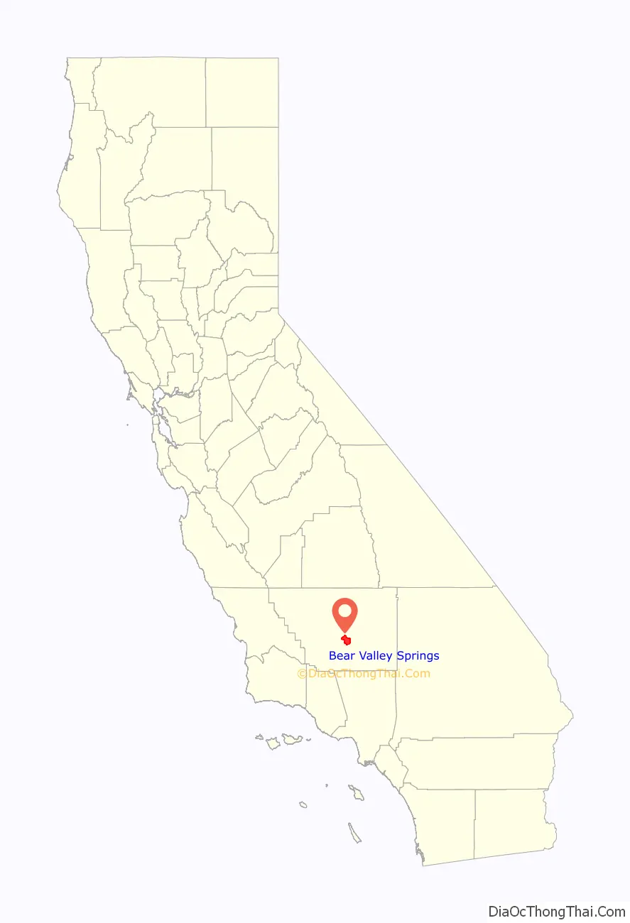
Bear Valley Springs location map. Where is Bear Valley Springs CDP?
History
While the nation had pushed to the western coast, the land the Fickert family settled in 1869 was still isolated and remote. For centuries, it had been the realm of Native Americans. Over the years, after purchasing squatter’s rights to 160 acres (0.65 km), the Fickerts expanded their holdings until, by the 1900s their ranch encompassed a vast region of 25,000 acres (100 km).
By 1959, the last of the immediate Fickert family were gone, joining their kin who had gone before in the tiny family cemetery just up the hill from the main house.
Dart Resorts purchased the ranch from the Fickert heirs. Resource Ecology Associates was employed by Dart to plan and maintain the original natural value of the property, including wildlife. Bear Valley Springs was born.
The first sales of property were in late 1970 with a full sales team starting January 1971. The project was sold out in November 1977. The Bear Valley Springs Community Services District was formed to act as a nonprofit organization for management and maintenance of the water, roads, and police protection. The Bear Valley Springs Property Owners Association was formed to administer the amenity package. Together they insure the upkeep of the facilities of Bear Valley Springs.
The original concept was a second home destination resort where families could come to spend a weekend or longer and have a complete amenities package. The concept changed from second homes to full-time residents, approximately 3,700 homes. Former President Ronald Reagan bought a ranch in BVS. A number of athletes and TV/movie stars have made BVS their home.
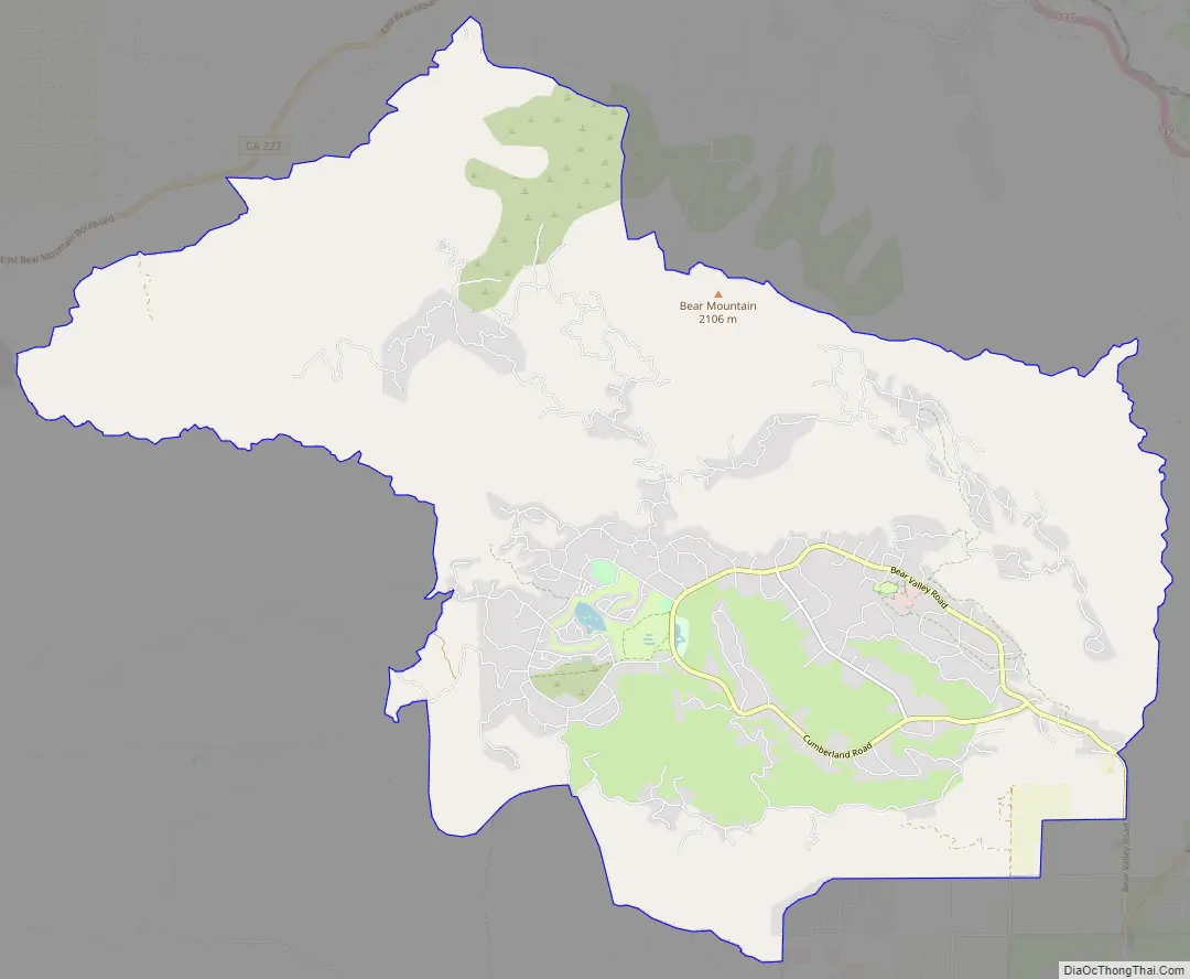
Bear Valley Springs Road Map
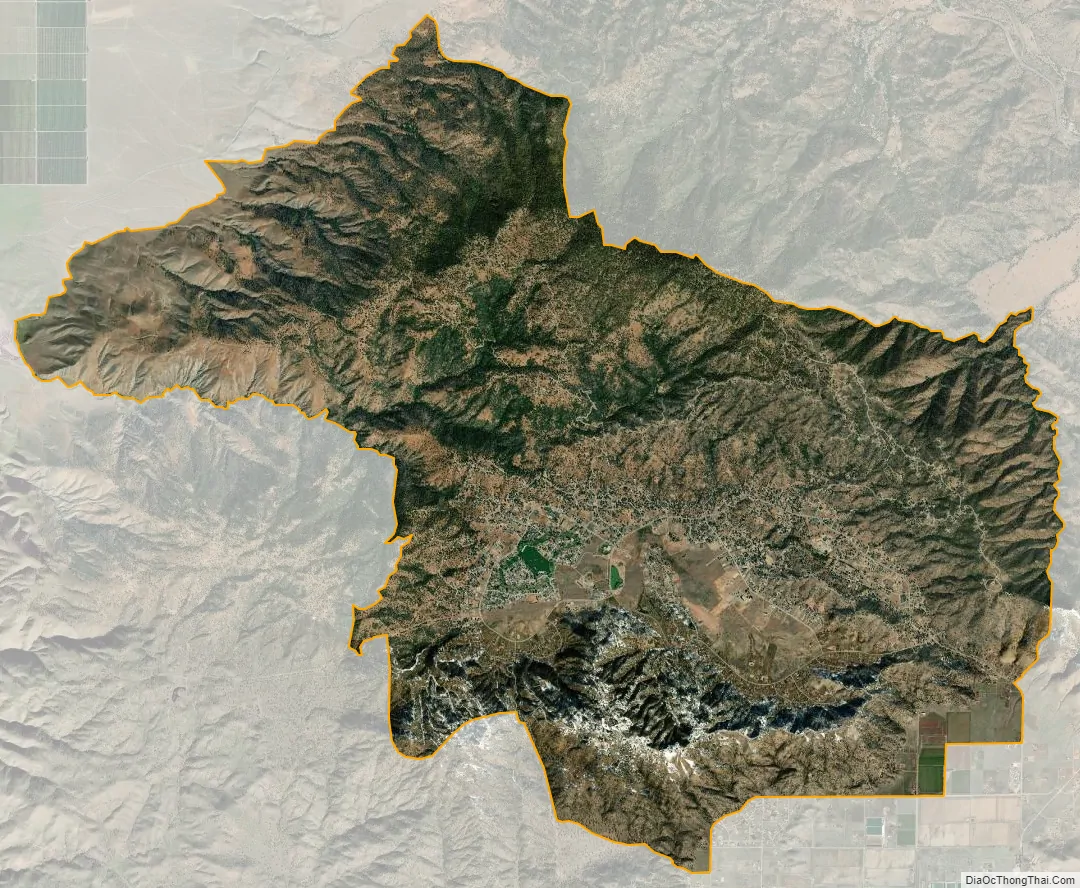
Bear Valley Springs city Satellite Map
Geography
Bear Valley Springs is located at 35°09.5′N 118°37.7′W / 35.1583°N 118.6283°W / 35.1583; -118.6283.
According to the United States Census Bureau, the CDP has a total area of 41.6 square miles (108 km), of which, 41.5 square miles (107 km) of it is land and 0.07 square miles (0.18 km) of it (0.16%) is water.
Climate
According to the Köppen Climate Classification system, Bear Valley Springs has a semi-arid climate, abbreviated “BSk” on climate maps with a climate similar to Tehachapi, CA.
Annual climate specifics can be found at [1]
See also
Map of California State and its subdivision:- Alameda
- Alpine
- Amador
- Butte
- Calaveras
- Colusa
- Contra Costa
- Del Norte
- El Dorado
- Fresno
- Glenn
- Humboldt
- Imperial
- Inyo
- Kern
- Kings
- Lake
- Lassen
- Los Angeles
- Madera
- Marin
- Mariposa
- Mendocino
- Merced
- Modoc
- Mono
- Monterey
- Napa
- Nevada
- Orange
- Placer
- Plumas
- Riverside
- Sacramento
- San Benito
- San Bernardino
- San Diego
- San Francisco
- San Joaquin
- San Luis Obispo
- San Mateo
- Santa Barbara
- Santa Clara
- Santa Cruz
- Shasta
- Sierra
- Siskiyou
- Solano
- Sonoma
- Stanislaus
- Sutter
- Tehama
- Trinity
- Tulare
- Tuolumne
- Ventura
- Yolo
- Yuba
- Alabama
- Alaska
- Arizona
- Arkansas
- California
- Colorado
- Connecticut
- Delaware
- District of Columbia
- Florida
- Georgia
- Hawaii
- Idaho
- Illinois
- Indiana
- Iowa
- Kansas
- Kentucky
- Louisiana
- Maine
- Maryland
- Massachusetts
- Michigan
- Minnesota
- Mississippi
- Missouri
- Montana
- Nebraska
- Nevada
- New Hampshire
- New Jersey
- New Mexico
- New York
- North Carolina
- North Dakota
- Ohio
- Oklahoma
- Oregon
- Pennsylvania
- Rhode Island
- South Carolina
- South Dakota
- Tennessee
- Texas
- Utah
- Vermont
- Virginia
- Washington
- West Virginia
- Wisconsin
- Wyoming


